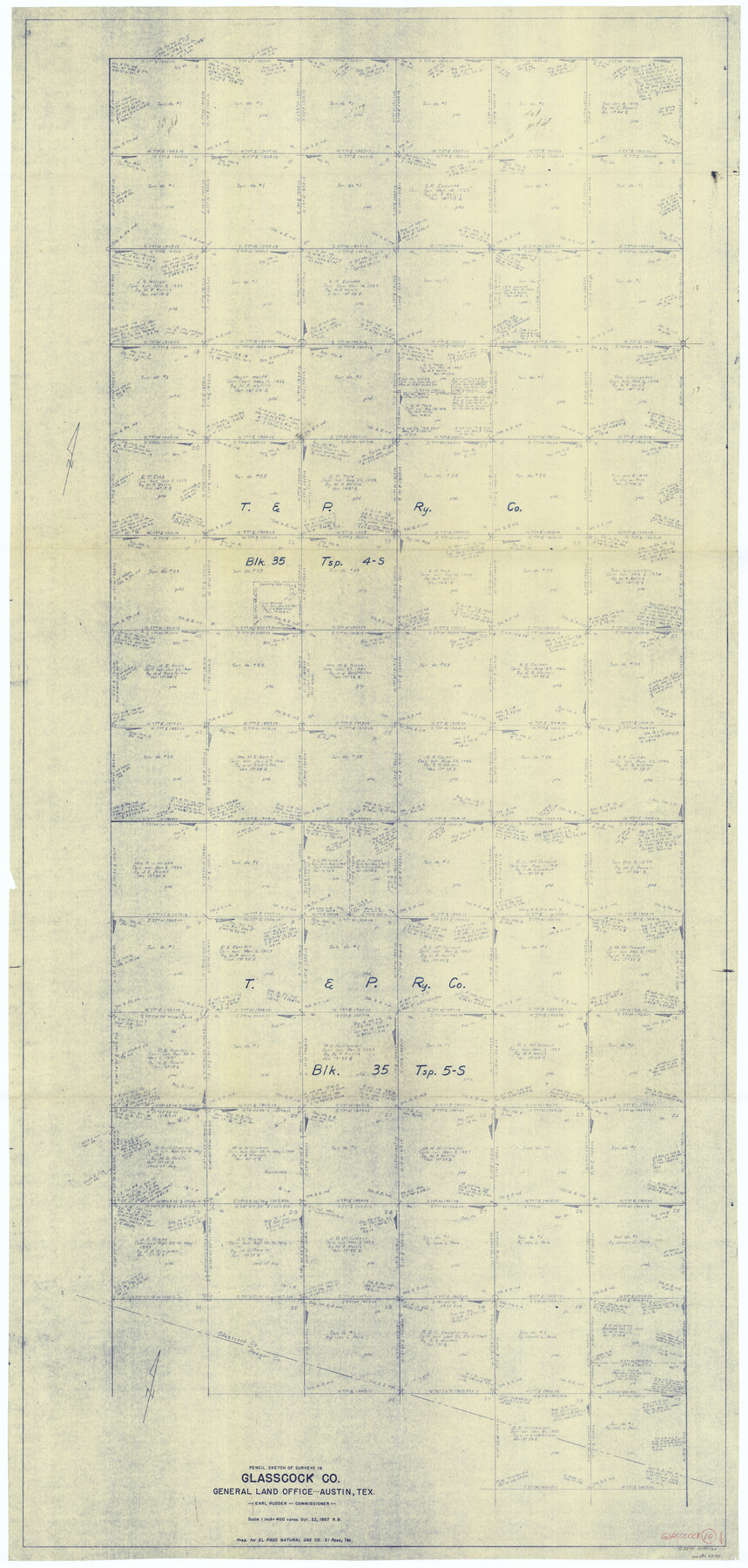
Glasscock County Working Sketch 10
-
Map/Doc
63183
-
Collection
General Map Collection
-
Object Dates
10/22/1957 (Creation Date)
-
People and Organizations
Roy Buckholts (Draftsman)
-
Counties
Glasscock Reagan
-
Subjects
Surveying Working Sketch
-
Height x Width
77.9 x 37.2 inches
197.9 x 94.5 cm
-
Scale
1" = 400 varas
Part of: General Map Collection
Roberts County Working Sketch 40

Print $20.00
- Digital $50.00
Roberts County Working Sketch 40
1978
Size 26.6 x 22.6 inches
Map/Doc 63566
Sutton County

Print $40.00
- Digital $50.00
Sutton County
1941
Size 42.3 x 56.8 inches
Map/Doc 63052
Calhoun County Rolled Sketch 15

Print $20.00
- Digital $50.00
Calhoun County Rolled Sketch 15
Size 34.4 x 42.6 inches
Map/Doc 8548
Matagorda County Rolled Sketch 40

Print $20.00
- Digital $50.00
Matagorda County Rolled Sketch 40
Size 24.6 x 27.4 inches
Map/Doc 6704
Carson County Sketch File 3

Print $32.00
- Digital $50.00
Carson County Sketch File 3
1888
Size 5.4 x 8.4 inches
Map/Doc 17335
Galveston Bay from a Spanish M. S.

Print $20.00
- Digital $50.00
Galveston Bay from a Spanish M. S.
1846
Size 25.1 x 18.2 inches
Map/Doc 72759
[Atlas C, Table of Contents]
![78353, [Atlas C, Table of Contents], General Map Collection](https://historictexasmaps.com/wmedia_w700/maps/78353.tif.jpg)
Print $3.00
- Digital $50.00
[Atlas C, Table of Contents]
Size 14.7 x 9.6 inches
Map/Doc 78353
Andrews County Working Sketch 10

Print $20.00
- Digital $50.00
Andrews County Working Sketch 10
1955
Size 30.5 x 43.7 inches
Map/Doc 67056
Intracoastal Waterway - Port Arthur to Galveston Bay

Print $20.00
- Digital $50.00
Intracoastal Waterway - Port Arthur to Galveston Bay
1961
Size 26.7 x 38.8 inches
Map/Doc 69834
Cochran County Boundary File 1

Print $108.00
- Digital $50.00
Cochran County Boundary File 1
Size 15.4 x 8.7 inches
Map/Doc 51445
Brewster County Rolled Sketch 24B

Print $20.00
- Digital $50.00
Brewster County Rolled Sketch 24B
Size 17.2 x 22.4 inches
Map/Doc 5209
Presidio County Rolled Sketch 3A

Print $20.00
- Digital $50.00
Presidio County Rolled Sketch 3A
Size 18.5 x 16.8 inches
Map/Doc 7327
You may also like
McMullen County Rolled Sketch 6

Print $20.00
- Digital $50.00
McMullen County Rolled Sketch 6
Size 32.1 x 27.0 inches
Map/Doc 6724
Parker County Rolled Sketch 4

Print $20.00
- Digital $50.00
Parker County Rolled Sketch 4
Size 28.0 x 34.1 inches
Map/Doc 7205
Knox County Rolled Sketch 20

Print $20.00
- Digital $50.00
Knox County Rolled Sketch 20
Size 31.5 x 23.3 inches
Map/Doc 6560
Fisher County Sketch File 17

Print $6.00
- Digital $50.00
Fisher County Sketch File 17
Size 11.0 x 12.5 inches
Map/Doc 22587
Flight Mission No. CON-4R, Frame 200, Stonewall County

Print $20.00
- Digital $50.00
Flight Mission No. CON-4R, Frame 200, Stonewall County
1957
Size 18.2 x 22.0 inches
Map/Doc 86994
Cherokee County Sketch File 6

Print $22.00
- Digital $50.00
Cherokee County Sketch File 6
1852
Size 12.4 x 16.4 inches
Map/Doc 18126
Flight Mission No. CUG-1P, Frame 26, Kleberg County

Print $20.00
- Digital $50.00
Flight Mission No. CUG-1P, Frame 26, Kleberg County
1956
Size 18.6 x 22.2 inches
Map/Doc 86116
Brazos Santiago, Texas

Print $20.00
- Digital $50.00
Brazos Santiago, Texas
1882
Size 18.3 x 26.1 inches
Map/Doc 72987
[Surveying sketch of S. Hayford, E. T. R.R. Co., T. C. R. R. Co., et al in Travis County, Texas]
![10753, [Surveying sketch of S. Hayford, E. T. R.R. Co., T. C. R. R. Co., et al in Travis County, Texas], Maddox Collection](https://historictexasmaps.com/wmedia_w700/maps/10753.tif.jpg)
Print $20.00
- Digital $50.00
[Surveying sketch of S. Hayford, E. T. R.R. Co., T. C. R. R. Co., et al in Travis County, Texas]
Size 18.0 x 17.3 inches
Map/Doc 10753
Red River County Sketch File 5

Print $4.00
- Digital $50.00
Red River County Sketch File 5
Size 7.9 x 4.8 inches
Map/Doc 35102
Milam County Boundary File 6

Print $16.00
- Digital $50.00
Milam County Boundary File 6
Size 8.8 x 14.5 inches
Map/Doc 57240
Midland County Rolled Sketch 7

Print $40.00
- Digital $50.00
Midland County Rolled Sketch 7
1951
Size 77.3 x 25.2 inches
Map/Doc 9519