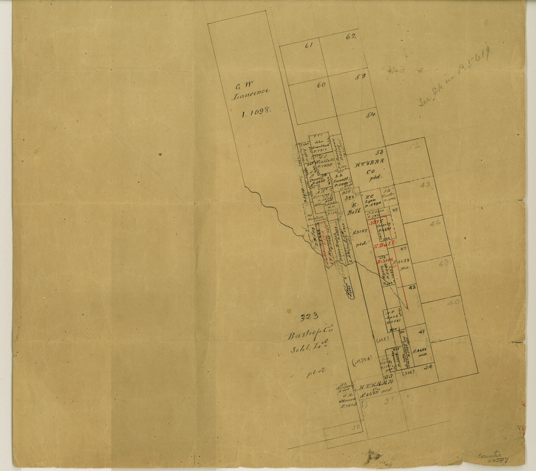
Fisher County Sketch File 17
[Office sketch of surveys around the E. Bell tract]
-
Map/Doc
22587
-
Collection
General Map Collection
-
People and Organizations
Pressler (Surveyor/Engineer)
-
Counties
Fisher
-
Subjects
Surveying Sketch File
-
Height x Width
11.0 x 12.5 inches
27.9 x 31.8 cm
-
Medium
paper, manuscript
Part of: General Map Collection
Archer County Sketch File 20

Print $6.00
- Digital $50.00
Archer County Sketch File 20
1936
Size 11.0 x 8.7 inches
Map/Doc 13655
Tom Green County Sketch File 51

Print $20.00
- Digital $50.00
Tom Green County Sketch File 51
1884
Size 44.0 x 27.5 inches
Map/Doc 10403
Brewster County Sketch File FN-34

Print $40.00
- Digital $50.00
Brewster County Sketch File FN-34
1943
Size 23.1 x 27.1 inches
Map/Doc 10984
Reeves County Working Sketch 15

Print $40.00
- Digital $50.00
Reeves County Working Sketch 15
1961
Size 43.0 x 53.1 inches
Map/Doc 63458
Schleicher County Rolled Sketch 10

Print $20.00
- Digital $50.00
Schleicher County Rolled Sketch 10
Size 30.1 x 25.8 inches
Map/Doc 7753
Wichita County Boundary File 2

Print $30.00
- Digital $50.00
Wichita County Boundary File 2
Size 9.1 x 4.7 inches
Map/Doc 59900
Brewster County Boundary File 1b

Print $32.00
- Digital $50.00
Brewster County Boundary File 1b
Size 9.2 x 11.3 inches
Map/Doc 50740
Trinity River, Balltown Sheet/Pilot Grove Creek

Print $20.00
- Digital $50.00
Trinity River, Balltown Sheet/Pilot Grove Creek
1938
Size 40.1 x 33.7 inches
Map/Doc 65196
Notes for map of Montgomery County

Print $20.00
- Digital $50.00
Notes for map of Montgomery County
1844
Size 17.6 x 21.9 inches
Map/Doc 78370
Jefferson County Rolled Sketch 62

Print $40.00
- Digital $50.00
Jefferson County Rolled Sketch 62
1974
Size 78.4 x 43.1 inches
Map/Doc 9318
Jefferson County NRC Article 33.136 Sketch 14

Print $164.00
- Digital $50.00
Jefferson County NRC Article 33.136 Sketch 14
2021
Map/Doc 96645
Van Zandt County Sketch File 13

Print $4.00
- Digital $50.00
Van Zandt County Sketch File 13
1858
Size 10.6 x 8.2 inches
Map/Doc 39402
You may also like
Val Verde County Working Sketch 8

Print $20.00
- Digital $50.00
Val Verde County Working Sketch 8
1917
Size 31.4 x 32.0 inches
Map/Doc 72143
Gulf of Mexico

Print $20.00
- Digital $50.00
Gulf of Mexico
1908
Size 18.2 x 27.2 inches
Map/Doc 72658
San Patricio County Rolled Sketch 29C

Print $40.00
- Digital $50.00
San Patricio County Rolled Sketch 29C
Size 49.1 x 61.4 inches
Map/Doc 48871
[Travis District]
![88740, [Travis District], General Map Collection](https://historictexasmaps.com/wmedia_w700/maps/88740.tif.jpg)
Print $40.00
- Digital $50.00
[Travis District]
1840
Size 54.7 x 46.0 inches
Map/Doc 88740
Travis County State Real Property Sketch 7

Print $20.00
- Digital $50.00
Travis County State Real Property Sketch 7
1985
Size 30.9 x 43.4 inches
Map/Doc 61699
Falls County Working Sketch Graphic Index

Print $20.00
- Digital $50.00
Falls County Working Sketch Graphic Index
1976
Size 39.7 x 44.2 inches
Map/Doc 76539
Oldham County Rolled Sketch 12

Print $20.00
- Digital $50.00
Oldham County Rolled Sketch 12
1981
Size 25.2 x 38.0 inches
Map/Doc 7177
Wichita County Sketch File 22

Print $10.00
- Digital $50.00
Wichita County Sketch File 22
1911
Size 11.3 x 8.6 inches
Map/Doc 40104
San Saba County Sketch File 10

Print $20.00
- Digital $50.00
San Saba County Sketch File 10
1883
Size 20.4 x 16.5 inches
Map/Doc 12290
Lamar County Sketch File 16

Print $166.00
- Digital $50.00
Lamar County Sketch File 16
2013
Size 11.0 x 8.5 inches
Map/Doc 93654
Dimmit County Sketch File 13

Print $46.00
- Digital $50.00
Dimmit County Sketch File 13
1884
Size 22.6 x 36.5 inches
Map/Doc 11341
Jefferson County Working Sketch 20

Print $20.00
- Digital $50.00
Jefferson County Working Sketch 20
1960
Size 43.0 x 31.8 inches
Map/Doc 66563