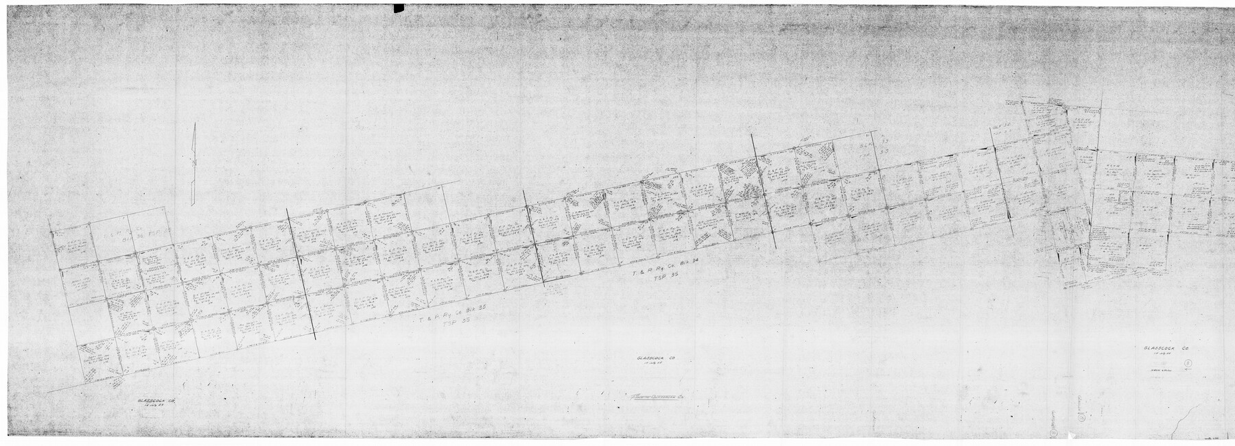
Glasscock County Working Sketch 8
-
Map/Doc
63181
-
Collection
General Map Collection
-
Object Dates
7/15/1955 (Creation Date)
-
Counties
Glasscock
-
Subjects
Surveying Working Sketch
-
Height x Width
43.5 x 120.3 inches
110.5 x 305.6 cm
-
Comments
Segment 1 of 2; For segment 2 see counter No. 62189.
Related maps
Glasscock County Working Sketch 8

Print $20.00
- Digital $50.00
Glasscock County Working Sketch 8
Size 42.7 x 10.3 inches
Map/Doc 62189
Part of: General Map Collection
Webb County Working Sketch 2

Print $20.00
- Digital $50.00
Webb County Working Sketch 2
1906
Size 11.2 x 12.5 inches
Map/Doc 72367
Trinity County Rolled Sketch 3

Print $40.00
- Digital $50.00
Trinity County Rolled Sketch 3
1948
Size 33.8 x 50.3 inches
Map/Doc 10025
Harris County Sketch File 33a

Print $20.00
- Digital $50.00
Harris County Sketch File 33a
Size 34.1 x 30.0 inches
Map/Doc 10478
Garza County Working Sketch 8

Print $40.00
- Digital $50.00
Garza County Working Sketch 8
1950
Size 37.4 x 48.0 inches
Map/Doc 63155
Comal County Rolled Sketch 6

Print $4.00
- Digital $50.00
Comal County Rolled Sketch 6
1988
Size 25.0 x 19.1 inches
Map/Doc 5541
Map of Caldwell County

Print $20.00
- Digital $50.00
Map of Caldwell County
1871
Size 16.9 x 19.9 inches
Map/Doc 4591
Harrison County Working Sketch 34

Print $20.00
- Digital $50.00
Harrison County Working Sketch 34
2015
Size 13.7 x 17.9 inches
Map/Doc 93726
Comanche County Boundary File 21

Print $10.00
- Digital $50.00
Comanche County Boundary File 21
Size 8.3 x 3.7 inches
Map/Doc 51800
Sketch of surveys made by Erath and Green in August 1846 on the waters of the Bosque River

Print $2.00
- Digital $50.00
Sketch of surveys made by Erath and Green in August 1846 on the waters of the Bosque River
1846
Size 10.6 x 7.8 inches
Map/Doc 303
Bastrop County Sketch File 10

Print $4.00
- Digital $50.00
Bastrop County Sketch File 10
1979
Size 14.3 x 8.8 inches
Map/Doc 14056
Sterling County Sketch File 2

Print $6.00
- Digital $50.00
Sterling County Sketch File 2
Size 10.7 x 15.6 inches
Map/Doc 37113
Nueces County NRC Article 33.136 Sketch 16

Print $68.00
- Digital $50.00
Nueces County NRC Article 33.136 Sketch 16
2012
Size 22.0 x 17.0 inches
Map/Doc 94804
You may also like
Wilbarger County Working Sketch 21

Print $20.00
- Digital $50.00
Wilbarger County Working Sketch 21
1979
Size 37.4 x 37.8 inches
Map/Doc 72559
Intracoastal Waterway - Laguna Madre - Chubby Island to Stover Point including the Arroyo Colorado, Texas

Print $20.00
- Digital $50.00
Intracoastal Waterway - Laguna Madre - Chubby Island to Stover Point including the Arroyo Colorado, Texas
1976
Size 16.0 x 43.9 inches
Map/Doc 75901
Gregg County Boundary File 5

Print $4.00
- Digital $50.00
Gregg County Boundary File 5
Size 13.5 x 8.7 inches
Map/Doc 53999
Val Verde County Sketch File L

Print $26.00
- Digital $50.00
Val Verde County Sketch File L
1919
Size 12.4 x 9.1 inches
Map/Doc 39262
Coryell County Working Sketch 21

Print $20.00
- Digital $50.00
Coryell County Working Sketch 21
1973
Size 37.0 x 37.8 inches
Map/Doc 68228
Coryell County Sketch File 16

Print $4.00
- Digital $50.00
Coryell County Sketch File 16
Size 6.5 x 5.4 inches
Map/Doc 19373
Working Sketch in Stephens County

Print $20.00
- Digital $50.00
Working Sketch in Stephens County
1919
Size 15.4 x 18.6 inches
Map/Doc 91912
Montague County Working Sketch 5

Print $20.00
- Digital $50.00
Montague County Working Sketch 5
1920
Size 24.9 x 20.9 inches
Map/Doc 71071
Map of the Town of Harrold, Wilbarger County, Texas on the line of the Fort Worth and Denver City Railway

Print $20.00
- Digital $50.00
Map of the Town of Harrold, Wilbarger County, Texas on the line of the Fort Worth and Denver City Railway
1887
Size 31.2 x 28.6 inches
Map/Doc 2186
Jasper County Working Sketch 35

Print $20.00
- Digital $50.00
Jasper County Working Sketch 35
2008
Size 28.5 x 40.0 inches
Map/Doc 88733
General Highway Map, King County, Texas

Print $20.00
General Highway Map, King County, Texas
1961
Size 18.2 x 24.6 inches
Map/Doc 79555
La Salle County Working Sketch 35

Print $20.00
- Digital $50.00
La Salle County Working Sketch 35
1958
Size 31.4 x 16.8 inches
Map/Doc 70336