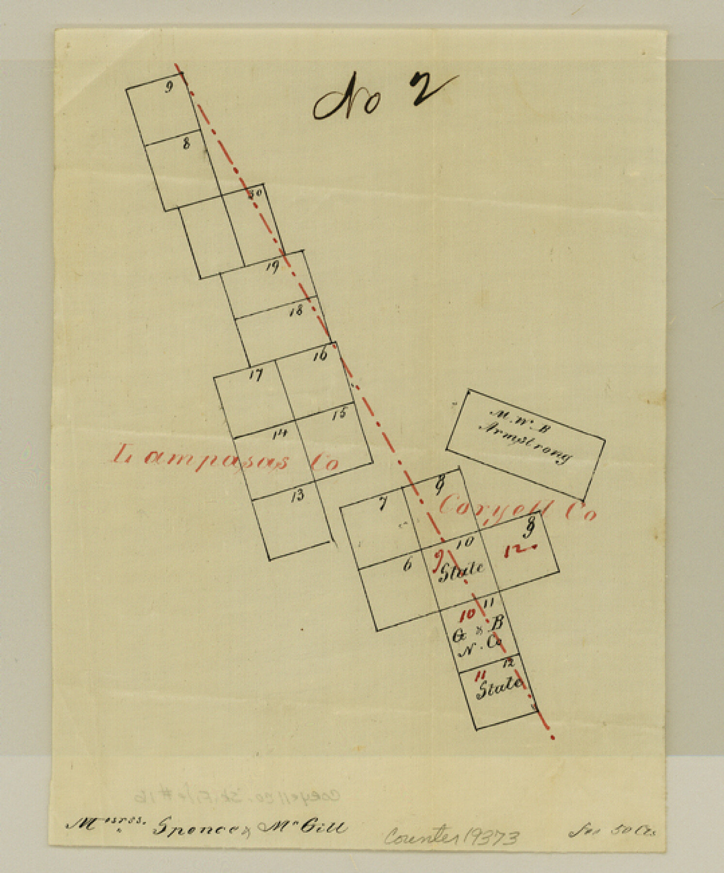
Coryell County Sketch File 16
[Sketch of surveys along Lampasas-Coryell County line]
-
Map/Doc
19373
-
Collection
General Map Collection
-
Counties
Coryell Lampasas
-
Subjects
Surveying Sketch File
-
Height x Width
6.5 x 5.4 inches
16.5 x 13.7 cm
-
Medium
paper, manuscript
Part of: General Map Collection
La Salle County Rolled Sketch 9

Print $20.00
- Digital $50.00
La Salle County Rolled Sketch 9
1944
Size 32.7 x 27.7 inches
Map/Doc 6572
Flight Mission No. BQY-4M, Frame 65, Harris County

Print $20.00
- Digital $50.00
Flight Mission No. BQY-4M, Frame 65, Harris County
1953
Size 18.7 x 22.4 inches
Map/Doc 85274
Map of the United States, Canada and a part of Mexico to illustrate Olney's school geography

Print $20.00
- Digital $50.00
Map of the United States, Canada and a part of Mexico to illustrate Olney's school geography
1844
Size 12.1 x 19.0 inches
Map/Doc 93537
Uvalde County Working Sketch 67

Print $20.00
- Digital $50.00
Uvalde County Working Sketch 67
1956
Size 22.8 x 20.9 inches
Map/Doc 75973
Duval County Working Sketch 33

Print $20.00
- Digital $50.00
Duval County Working Sketch 33
1951
Size 21.9 x 23.3 inches
Map/Doc 68757
Flight Mission No. DQO-11K, Frame 22, Galveston County

Print $20.00
- Digital $50.00
Flight Mission No. DQO-11K, Frame 22, Galveston County
1952
Size 18.8 x 22.5 inches
Map/Doc 85219
Dickens County Sketch File K

Print $6.00
- Digital $50.00
Dickens County Sketch File K
1907
Size 14.5 x 9.1 inches
Map/Doc 20889
Gulf Coast of the United States, Key West to Rio Grande

Print $20.00
- Digital $50.00
Gulf Coast of the United States, Key West to Rio Grande
1892
Size 27.3 x 18.3 inches
Map/Doc 72671
Bell County Working Sketch 5

Print $20.00
- Digital $50.00
Bell County Working Sketch 5
1942
Size 26.9 x 21.0 inches
Map/Doc 67345
Flight Mission No. BQR-7K, Frame 32, Brazoria County

Print $20.00
- Digital $50.00
Flight Mission No. BQR-7K, Frame 32, Brazoria County
1952
Size 18.6 x 22.2 inches
Map/Doc 84030
Correct Map of Texas and Louisiana

Print $40.00
- Digital $50.00
Correct Map of Texas and Louisiana
1917
Size 41.6 x 53.6 inches
Map/Doc 2142
Map of Marion County

Print $20.00
- Digital $50.00
Map of Marion County
1920
Size 29.2 x 42.2 inches
Map/Doc 78405
You may also like
Brazos County Working Sketch 1

Print $20.00
- Digital $50.00
Brazos County Working Sketch 1
1911
Size 26.5 x 16.3 inches
Map/Doc 67476
Flight Mission No. BRE-4P, Frame 168, Nueces County

Print $20.00
- Digital $50.00
Flight Mission No. BRE-4P, Frame 168, Nueces County
1956
Size 18.7 x 22.6 inches
Map/Doc 86831
Bowie County Sketch File 7b

Print $10.00
- Digital $50.00
Bowie County Sketch File 7b
1927
Size 10.7 x 8.6 inches
Map/Doc 14859
Leon County Working Sketch 14

Print $40.00
- Digital $50.00
Leon County Working Sketch 14
1956
Size 48.8 x 34.5 inches
Map/Doc 70413
Ochiltree County Working Sketch 2

Print $20.00
- Digital $50.00
Ochiltree County Working Sketch 2
1959
Size 23.9 x 20.8 inches
Map/Doc 71315
Montgomery County Rolled Sketch 27

Print $20.00
- Digital $50.00
Montgomery County Rolled Sketch 27
Size 34.5 x 34.4 inches
Map/Doc 9536
Austin County Sketch File 8

Print $40.00
- Digital $50.00
Austin County Sketch File 8
1894
Size 19.3 x 19.9 inches
Map/Doc 10873
Coryell County Sketch File 11

Print $4.00
- Digital $50.00
Coryell County Sketch File 11
Size 8.7 x 11.7 inches
Map/Doc 19364
Flight Mission No. DAH-10M, Frame 43, Orange County

Print $20.00
- Digital $50.00
Flight Mission No. DAH-10M, Frame 43, Orange County
1953
Size 18.6 x 22.6 inches
Map/Doc 86878
Upton County Working Sketch 11

Print $20.00
- Digital $50.00
Upton County Working Sketch 11
1927
Size 21.8 x 38.5 inches
Map/Doc 69507
Webb County Rolled Sketch 69

Print $20.00
- Digital $50.00
Webb County Rolled Sketch 69
1964
Size 13.9 x 22.3 inches
Map/Doc 8216
Armstrong County Working Sketch 9

Print $20.00
- Digital $50.00
Armstrong County Working Sketch 9
1993
Size 40.9 x 33.6 inches
Map/Doc 67240