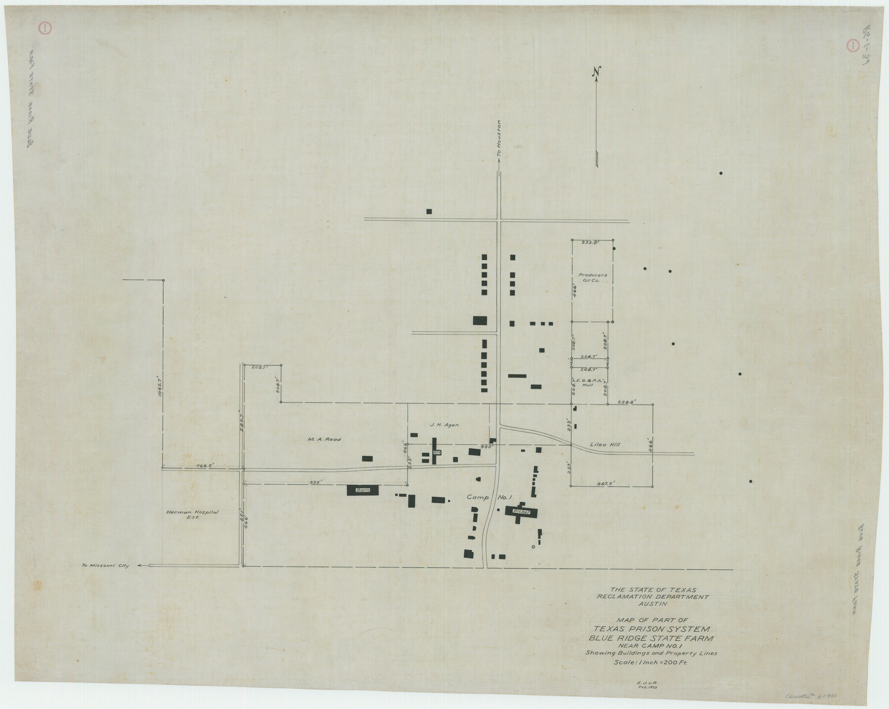
Map of Part of Texas Prison System, Blue Ridge State Farm near Camp No. 1 Showing Buildings and Property Lines
RG-1-3d
-
Map/Doc
62980
-
Collection
General Map Collection
-
Counties
Harris Fort Bend
-
Height x Width
20.3 x 25.4 inches
51.6 x 64.5 cm
Part of: General Map Collection
McMullen County Sketch File 24

Print $22.00
- Digital $50.00
McMullen County Sketch File 24
Size 8.7 x 12.6 inches
Map/Doc 31381
Trinity River, Bazzette Sheet

Print $4.00
- Digital $50.00
Trinity River, Bazzette Sheet
1925
Size 28.2 x 24.9 inches
Map/Doc 65218
Matagorda Light to Aransas Pass

Print $20.00
- Digital $50.00
Matagorda Light to Aransas Pass
1934
Size 35.3 x 44.3 inches
Map/Doc 73392
Irion County Sketch File 12

Print $40.00
- Digital $50.00
Irion County Sketch File 12
1939
Size 15.3 x 12.4 inches
Map/Doc 27482
Comal County Sketch File 9 1/2

Print $6.00
- Digital $50.00
Comal County Sketch File 9 1/2
Size 12.9 x 8.4 inches
Map/Doc 19018
Flight Mission No. DAG-24K, Frame 151, Matagorda County

Print $20.00
- Digital $50.00
Flight Mission No. DAG-24K, Frame 151, Matagorda County
1953
Size 18.5 x 22.1 inches
Map/Doc 86565
Palo Pinto County

Print $20.00
- Digital $50.00
Palo Pinto County
1896
Size 27.2 x 22.1 inches
Map/Doc 3937
Live Oak County Sketch File 13

Print $17.00
- Digital $50.00
Live Oak County Sketch File 13
1880
Size 10.2 x 13.7 inches
Map/Doc 30270
Pecos County Working Sketch 45

Print $20.00
- Digital $50.00
Pecos County Working Sketch 45
1946
Size 20.8 x 26.7 inches
Map/Doc 71517
Blanco County Working Sketch 6

Print $20.00
- Digital $50.00
Blanco County Working Sketch 6
1923
Size 17.6 x 12.5 inches
Map/Doc 67365
Sherman County Rolled Sketch 13

Print $20.00
- Digital $50.00
Sherman County Rolled Sketch 13
1951
Size 14.3 x 30.7 inches
Map/Doc 7791
Flight Mission No. DCL-6C, Frame 132, Kenedy County

Print $20.00
- Digital $50.00
Flight Mission No. DCL-6C, Frame 132, Kenedy County
1943
Size 18.6 x 22.3 inches
Map/Doc 85962
You may also like
Nueces County Sketch File 32

Print $32.00
- Digital $50.00
Nueces County Sketch File 32
1907
Size 14.2 x 8.7 inches
Map/Doc 32605
Grimes County Working Sketch 8

Print $20.00
- Digital $50.00
Grimes County Working Sketch 8
1976
Size 35.0 x 32.7 inches
Map/Doc 63299
[B. S. & F. Blocks 1 and 6, A. B. & M. Block 2 and surrounding surveys and blocks]
![91785, [B. S. & F. Blocks 1 and 6, A. B. & M. Block 2 and surrounding surveys and blocks], Twichell Survey Records](https://historictexasmaps.com/wmedia_w700/maps/91785-1.tif.jpg)
Print $20.00
- Digital $50.00
[B. S. & F. Blocks 1 and 6, A. B. & M. Block 2 and surrounding surveys and blocks]
Size 22.6 x 33.8 inches
Map/Doc 91785
Bowie County Sketch File 7e

Print $10.00
- Digital $50.00
Bowie County Sketch File 7e
1927
Size 10.5 x 8.4 inches
Map/Doc 14867
Reeves County Rolled Sketch 17

Print $20.00
- Digital $50.00
Reeves County Rolled Sketch 17
1963
Size 28.4 x 36.1 inches
Map/Doc 7486
Revised Map of Matagorda Bay and Vicinity in Matagorda and Calhoun Counties, showing Subdivision for Mineral Development

Print $40.00
- Digital $50.00
Revised Map of Matagorda Bay and Vicinity in Matagorda and Calhoun Counties, showing Subdivision for Mineral Development
1959
Size 43.8 x 57.0 inches
Map/Doc 1910
Baylor County Sketch File 26

Print $22.00
- Digital $50.00
Baylor County Sketch File 26
Size 14.6 x 9.0 inches
Map/Doc 14215
Cooke County Working Sketch 10

Print $20.00
- Digital $50.00
Cooke County Working Sketch 10
1940
Size 40.5 x 27.8 inches
Map/Doc 68247
Orange County Working Sketch 52

Print $20.00
- Digital $50.00
Orange County Working Sketch 52
2006
Size 31.9 x 47.5 inches
Map/Doc 83069
Blanco County Working Sketch 2

Print $20.00
- Digital $50.00
Blanco County Working Sketch 2
Size 26.6 x 20.5 inches
Map/Doc 67361
Webb County Sketch File 14b

Print $4.00
- Digital $50.00
Webb County Sketch File 14b
1897
Size 11.2 x 8.8 inches
Map/Doc 39812
Picturesque Glen Ridge, A Beautiful Suburb of Austin

Print $20.00
- Digital $50.00
Picturesque Glen Ridge, A Beautiful Suburb of Austin
1890
Size 28.9 x 40.9 inches
Map/Doc 584