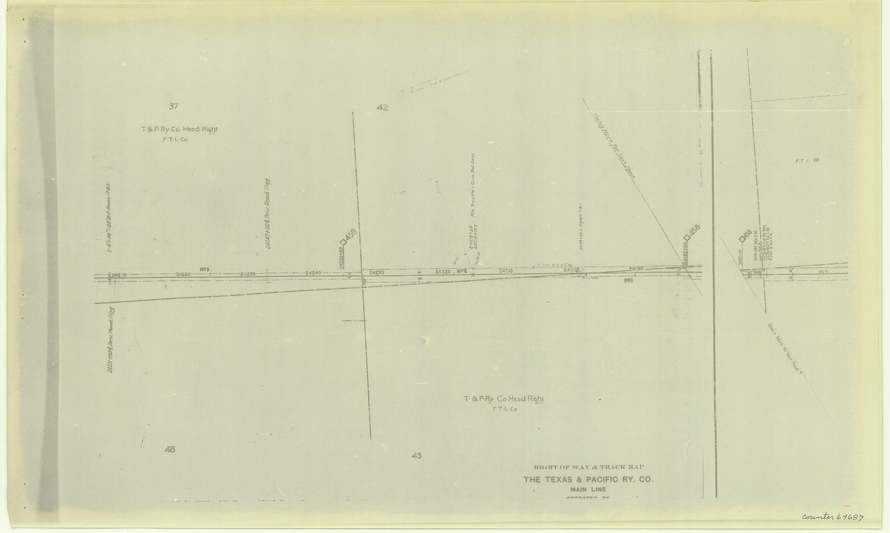
Right of Way & Track Map, The Texas & Pacific Ry. Co. Main Line
Z-2-192
-
Map/Doc
64687
-
Collection
General Map Collection
-
Counties
Nolan
-
Subjects
Railroads
-
Height x Width
11.0 x 18.3 inches
27.9 x 46.5 cm
-
Medium
photostat
-
Comments
See counters 64659 through 64691 for all segments.
-
Features
T&P
Part of: General Map Collection
Stonewall County Working Sketch 7

Print $20.00
- Digital $50.00
Stonewall County Working Sketch 7
1949
Size 30.7 x 24.5 inches
Map/Doc 62314
[Atchison, Topeka & Santa Fe from Paisano to south of Plata]
![64709, [Atchison, Topeka & Santa Fe from Paisano to south of Plata], General Map Collection](https://historictexasmaps.com/wmedia_w700/maps/64709.tif.jpg)
Print $40.00
- Digital $50.00
[Atchison, Topeka & Santa Fe from Paisano to south of Plata]
Size 32.3 x 120.8 inches
Map/Doc 64709
Val Verde County Rolled Sketch 22

Print $40.00
- Digital $50.00
Val Verde County Rolled Sketch 22
1892
Size 51.8 x 38.7 inches
Map/Doc 10071
Upton County Rolled Sketch 19

Print $40.00
- Digital $50.00
Upton County Rolled Sketch 19
1933
Size 55.2 x 40.0 inches
Map/Doc 10040
Stonewall County Sketch File 17

Print $6.00
- Digital $50.00
Stonewall County Sketch File 17
1902
Size 16.5 x 10.6 inches
Map/Doc 37274
Township No. 5 South Range No. 14 West of the Indian Meridian

Print $4.00
- Digital $50.00
Township No. 5 South Range No. 14 West of the Indian Meridian
1875
Size 17.8 x 22.8 inches
Map/Doc 75147
Loving County Sketch File 3

Print $6.00
- Digital $50.00
Loving County Sketch File 3
1952
Size 11.2 x 8.7 inches
Map/Doc 30409
Navarro County Sketch File 22

Print $6.00
- Digital $50.00
Navarro County Sketch File 22
1873
Size 10.0 x 8.0 inches
Map/Doc 32352
Terrell County Rolled Sketch JAS

Print $40.00
- Digital $50.00
Terrell County Rolled Sketch JAS
1936
Size 48.5 x 40.0 inches
Map/Doc 9988
Callahan County Rolled Sketch 3

Print $20.00
- Digital $50.00
Callahan County Rolled Sketch 3
1948
Size 36.1 x 35.3 inches
Map/Doc 8561
La Salle County Rolled Sketch 14

Print $20.00
- Digital $50.00
La Salle County Rolled Sketch 14
Size 22.3 x 24.8 inches
Map/Doc 6577
Galveston County Sketch File 31

Print $20.00
- Digital $50.00
Galveston County Sketch File 31
1916
Size 23.7 x 13.6 inches
Map/Doc 11534
You may also like
Smith County Sketch File 19

Print $42.00
- Digital $50.00
Smith County Sketch File 19
1850
Size 8.1 x 13.0 inches
Map/Doc 36794
Stephens County Sketch File 26

Print $10.00
- Digital $50.00
Stephens County Sketch File 26
Size 14.1 x 8.8 inches
Map/Doc 37096

Ward County Working Sketch 6

Print $20.00
- Digital $50.00
Ward County Working Sketch 6
1945
Size 23.4 x 24.5 inches
Map/Doc 72312
Permanent Lakes and Marshes for Mineral Development

Print $20.00
- Digital $50.00
Permanent Lakes and Marshes for Mineral Development
Size 30.6 x 35.2 inches
Map/Doc 73593
Map of Cass County

Print $20.00
- Digital $50.00
Map of Cass County
1847
Size 21.3 x 18.4 inches
Map/Doc 3368
General Highway Map, Live Oak County, Texas

Print $20.00
General Highway Map, Live Oak County, Texas
1940
Size 18.5 x 24.8 inches
Map/Doc 79176
Kerr County Sketch File 24

Print $20.00
- Digital $50.00
Kerr County Sketch File 24
1967
Size 15.7 x 21.6 inches
Map/Doc 11923
Montgomery County Working Sketch 57

Print $20.00
- Digital $50.00
Montgomery County Working Sketch 57
1961
Size 24.2 x 26.6 inches
Map/Doc 71164
[Folder for] Nautical Chart 11303: Texas Intracoastal Waterway, Laguna Madre, Chubby Island to Stover Point including the Arroyo Colorado
![75914, [Folder for] Nautical Chart 11303: Texas Intracoastal Waterway, Laguna Madre, Chubby Island to Stover Point including the Arroyo Colorado, General Map Collection](https://historictexasmaps.com/wmedia_w700/maps/75914-1.tif.jpg)
Print $20.00
- Digital $50.00
[Folder for] Nautical Chart 11303: Texas Intracoastal Waterway, Laguna Madre, Chubby Island to Stover Point including the Arroyo Colorado
1976
Size 15.9 x 18.8 inches
Map/Doc 75914
Flight Mission No. DQN-6K, Frame 72, Calhoun County

Print $20.00
- Digital $50.00
Flight Mission No. DQN-6K, Frame 72, Calhoun County
1953
Size 18.4 x 22.0 inches
Map/Doc 84444
Polk County Sketch File 5

Print $2.00
- Digital $50.00
Polk County Sketch File 5
Size 8.0 x 7.0 inches
Map/Doc 34128