Clay County Sketch File 42
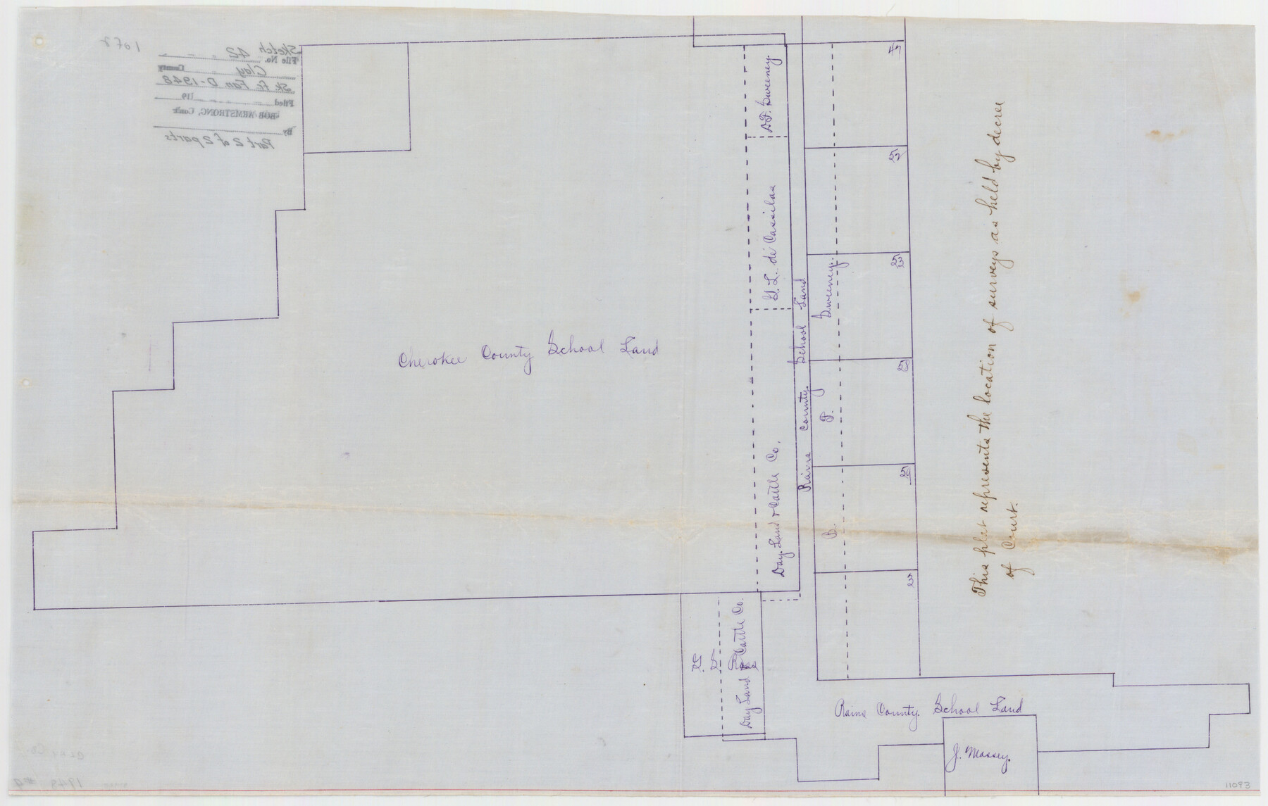
[Sketch of Cherokee County School Land survey and adjoining surveys in Clay and Wichita Counties]
-
Map/Doc
11093
-
Collection
General Map Collection
-
Counties
Wichita Clay
-
Subjects
Surveying Sketch File
-
Height x Width
22.8 x 31.0 inches
57.9 x 78.7 cm
-
Medium
linen, manuscript
Part of: General Map Collection
Galveston Bay Entrance - Galveston and Texas City Harbors

Print $40.00
- Digital $50.00
Galveston Bay Entrance - Galveston and Texas City Harbors
1971
Size 33.4 x 50.1 inches
Map/Doc 69861
Brazoria County Sketch File 26

Print $40.00
- Digital $50.00
Brazoria County Sketch File 26
Size 13.6 x 13.6 inches
Map/Doc 15028
Flight Mission No. DIX-6P, Frame 116, Aransas County

Print $20.00
- Digital $50.00
Flight Mission No. DIX-6P, Frame 116, Aransas County
1956
Size 19.2 x 23.1 inches
Map/Doc 83822
Briscoe County

Print $20.00
- Digital $50.00
Briscoe County
1930
Size 42.5 x 35.8 inches
Map/Doc 77222
Map of Hopkins County

Print $20.00
- Digital $50.00
Map of Hopkins County
1856
Size 22.5 x 20.3 inches
Map/Doc 3681
Padre Island National Seashore, Texas - Dependent Resurvey

Print $4.00
- Digital $50.00
Padre Island National Seashore, Texas - Dependent Resurvey
2001
Size 18.2 x 24.3 inches
Map/Doc 60548

Chambers County Sketch File Y

Print $4.00
- Digital $50.00
Chambers County Sketch File Y
1907
Size 14.3 x 8.7 inches
Map/Doc 17600
Map of the Town of Harrold, Wilbarger County, Texas on the line of the Fort Worth and Denver City Railway

Print $20.00
- Digital $50.00
Map of the Town of Harrold, Wilbarger County, Texas on the line of the Fort Worth and Denver City Railway
1887
Size 31.2 x 28.6 inches
Map/Doc 2186
Hood County Sketch File 26

Print $5.00
- Digital $50.00
Hood County Sketch File 26
1921
Size 23.6 x 28.0 inches
Map/Doc 11782
Rockwall County Boundary File 7

Print $4.00
- Digital $50.00
Rockwall County Boundary File 7
Size 11.5 x 8.8 inches
Map/Doc 58426
Brazos River, Howth Sheet

Print $6.00
- Digital $50.00
Brazos River, Howth Sheet
1936
Size 30.5 x 30.9 inches
Map/Doc 65276
You may also like
Trinity County Sketch File 23

Print $26.00
- Digital $50.00
Trinity County Sketch File 23
1861
Size 6.9 x 8.3 inches
Map/Doc 38552
Borden County Sketch File 4

Print $24.00
- Digital $50.00
Borden County Sketch File 4
1903
Size 8.8 x 7.8 inches
Map/Doc 14707

Hunt County Boundary File 2

Print $6.00
- Digital $50.00
Hunt County Boundary File 2
Size 13.0 x 8.1 inches
Map/Doc 55189
Map of Titus County

Print $20.00
- Digital $50.00
Map of Titus County
1860
Size 20.9 x 21.8 inches
Map/Doc 4081

Liberty County Sketch File 23

Print $4.00
- Digital $50.00
Liberty County Sketch File 23
1859
Size 10.0 x 8.2 inches
Map/Doc 29934
[F. W. & D. C. Ry. Co. Alignment and Right of Way Map, Clay County]
![64723, [F. W. & D. C. Ry. Co. Alignment and Right of Way Map, Clay County], General Map Collection](https://historictexasmaps.com/wmedia_w700/maps/64723-1.tif.jpg)
Print $20.00
- Digital $50.00
[F. W. & D. C. Ry. Co. Alignment and Right of Way Map, Clay County]
1927
Size 18.6 x 11.8 inches
Map/Doc 64723
Brewster County Rolled Sketch 114

Print $20.00
- Digital $50.00
Brewster County Rolled Sketch 114
1964
Size 11.7 x 17.7 inches
Map/Doc 5281
Harris County Rolled Sketch 88

Print $20.00
- Digital $50.00
Harris County Rolled Sketch 88
1937
Size 34.8 x 22.8 inches
Map/Doc 6127

[Plat map of Provident City and surrounding] / Map showing the Gulf Coast Country and Railways and Water Shipping Facilities of the Provident Land Tract
![95819, [Plat map of Provident City and surrounding] / Map showing the Gulf Coast Country and Railways and Water Shipping Facilities of the Provident Land Tract, Cobb Digital Map Collection](https://historictexasmaps.com/wmedia_w700/maps/95819.tif.jpg)
Print $20.00
- Digital $50.00
[Plat map of Provident City and surrounding] / Map showing the Gulf Coast Country and Railways and Water Shipping Facilities of the Provident Land Tract
1908
Size 22.0 x 22.9 inches
Map/Doc 95819