Gillespie County Boundary File 2
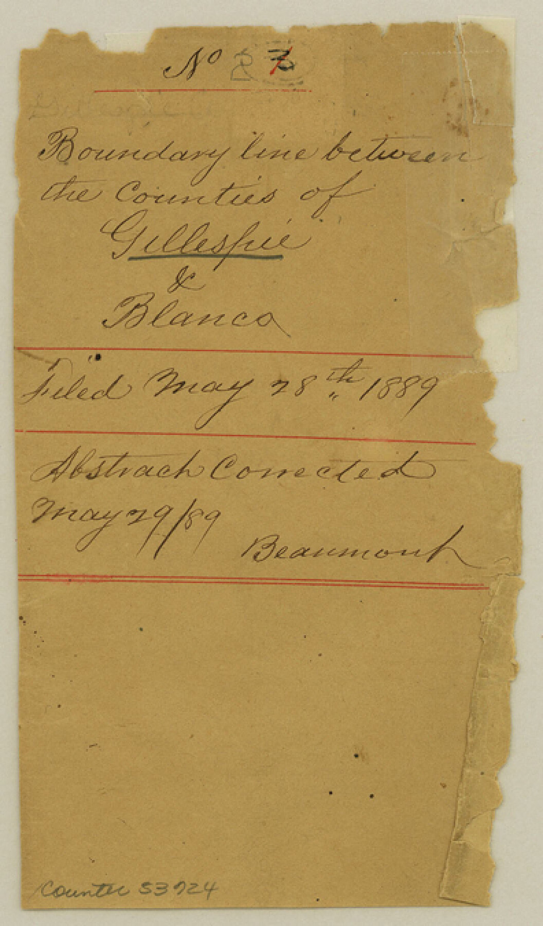
Gillespie and Blanco County Boundary
-
Map/Doc
53724
-
Collection
General Map Collection
-
Counties
Gillespie
-
Subjects
County Boundaries
-
Height x Width
6.7 x 4.0 inches
17.0 x 10.2 cm
Part of: General Map Collection
Ochiltree County Boundary File 5c

Print $30.00
- Digital $50.00
Ochiltree County Boundary File 5c
Size 11.2 x 8.7 inches
Map/Doc 57699
Reagan County Rolled Sketch 19

Print $20.00
- Digital $50.00
Reagan County Rolled Sketch 19
1939
Size 24.0 x 20.5 inches
Map/Doc 7445
Texas Aerial Photo-Illustrated Map

Texas Aerial Photo-Illustrated Map
Size 21.3 x 28.3 inches
Map/Doc 94397
Galveston County Sketch File 28

Print $42.00
- Digital $50.00
Galveston County Sketch File 28
1913
Size 22.2 x 5.4 inches
Map/Doc 23410
Anderson County Boundary File 10

Print $13.00
- Digital $50.00
Anderson County Boundary File 10
Size 16.0 x 10.2 inches
Map/Doc 49759
Lipscomb County Rolled Sketch 5

Print $40.00
- Digital $50.00
Lipscomb County Rolled Sketch 5
Size 64.2 x 9.0 inches
Map/Doc 81428
Flight Mission No. CUG-3P, Frame 16, Kleberg County

Print $20.00
- Digital $50.00
Flight Mission No. CUG-3P, Frame 16, Kleberg County
1956
Size 18.3 x 22.2 inches
Map/Doc 86226
Pecos County Rolled Sketch 113

Print $20.00
- Digital $50.00
Pecos County Rolled Sketch 113
1942
Size 31.9 x 35.4 inches
Map/Doc 9721
Kinney County Working Sketch 1

Print $20.00
- Digital $50.00
Kinney County Working Sketch 1
Size 22.6 x 24.0 inches
Map/Doc 70183
Galveston County Sketch File 62

Print $20.00
- Digital $50.00
Galveston County Sketch File 62
Size 11.2 x 8.8 inches
Map/Doc 23671
Brazos County Sketch File 3

Print $6.00
- Digital $50.00
Brazos County Sketch File 3
1861
Size 11.1 x 8.0 inches
Map/Doc 15554
Flight Mission No. DQN-2K, Frame 156, Calhoun County

Print $20.00
- Digital $50.00
Flight Mission No. DQN-2K, Frame 156, Calhoun County
1953
Size 18.5 x 22.3 inches
Map/Doc 84318
You may also like
Nueces County Sketch File 20

Print $8.00
- Digital $50.00
Nueces County Sketch File 20
1881
Size 10.7 x 8.1 inches
Map/Doc 32553
Wood County Rolled Sketch 9

Print $20.00
- Digital $50.00
Wood County Rolled Sketch 9
Size 30.6 x 18.1 inches
Map/Doc 8287


Tarrant County

Print $20.00
- Digital $50.00
Tarrant County
1873
Size 19.6 x 18.0 inches
Map/Doc 4630
McMullen County Working Sketch 54

Print $20.00
- Digital $50.00
McMullen County Working Sketch 54
1983
Size 25.3 x 29.0 inches
Map/Doc 70755
Map of Harris County

Print $40.00
- Digital $50.00
Map of Harris County
1897
Size 48.4 x 66.9 inches
Map/Doc 82068
The Republic County of Red River. Spring 1842

Print $20.00
The Republic County of Red River. Spring 1842
2020
Size 21.0 x 21.7 inches
Map/Doc 96254
Palo Pinto County Sketch File 28

Print $8.00
- Digital $50.00
Palo Pinto County Sketch File 28
1875
Size 11.3 x 8.6 inches
Map/Doc 33437
Dawson County Sketch [showing T. & P. Blocks 34 and 33, Township 5 N]
![90546, Dawson County Sketch [showing T. & P. Blocks 34 and 33, Township 5 N], Twichell Survey Records](https://historictexasmaps.com/wmedia_w700/maps/90546-1.tif.jpg)
Print $2.00
- Digital $50.00
Dawson County Sketch [showing T. & P. Blocks 34 and 33, Township 5 N]
Size 12.6 x 7.0 inches
Map/Doc 90546
Brewster County Working Sketch 13

Print $20.00
- Digital $50.00
Brewster County Working Sketch 13
1928
Size 39.5 x 43.9 inches
Map/Doc 67546
Fractional Township No. 7 South Range No. 16 East of the Indian Meridian, Indian Territory

Print $20.00
- Digital $50.00
Fractional Township No. 7 South Range No. 16 East of the Indian Meridian, Indian Territory
1897
Size 19.2 x 24.2 inches
Map/Doc 75229