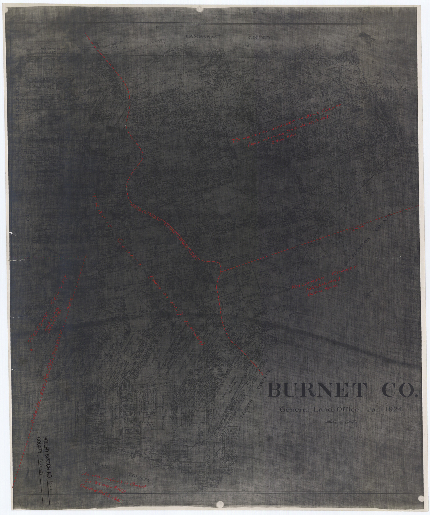
Burnet County Rolled Sketch D1
Burnet Co.
-
Map/Doc
5358
-
Collection
General Map Collection
-
Object Dates
1924 (Creation Date)
-
People and Organizations
H.F. McDonald (Draftsman)
-
Counties
Burnet
-
Subjects
County Surveying Rolled Sketch
-
Height x Width
22.2 x 18.5 inches
56.4 x 47.0 cm
-
Medium
photostat
-
Scale
1" = 2000 varas
Part of: General Map Collection
Rockwall County Boundary File 3a

Print $6.00
- Digital $50.00
Rockwall County Boundary File 3a
Size 6.2 x 8.7 inches
Map/Doc 58393
Wood County Boundary File 3

Print $10.00
- Digital $50.00
Wood County Boundary File 3
Size 12.4 x 8.5 inches
Map/Doc 60162
Kent County Rolled Sketch 3

Print $20.00
- Digital $50.00
Kent County Rolled Sketch 3
1950
Size 27.6 x 25.3 inches
Map/Doc 6474
Dickens County Sketch File H2

Print $2.00
- Digital $50.00
Dickens County Sketch File H2
Size 12.9 x 8.2 inches
Map/Doc 20874
San Patricio County Rolled Sketch 39

Print $20.00
- Digital $50.00
San Patricio County Rolled Sketch 39
1961
Size 40.4 x 31.7 inches
Map/Doc 7725
Matagorda County Aerial Photograph Index Sheet 4

Print $20.00
- Digital $50.00
Matagorda County Aerial Photograph Index Sheet 4
1953
Size 23.6 x 19.5 inches
Map/Doc 83725
Van Zandt County Sketch File 41

Print $13.00
- Digital $50.00
Van Zandt County Sketch File 41
Size 12.8 x 8.5 inches
Map/Doc 39489
Outer Continental Shelf Leasing Maps (Louisiana Offshore Operations)

Print $20.00
- Digital $50.00
Outer Continental Shelf Leasing Maps (Louisiana Offshore Operations)
1955
Size 9.7 x 11.3 inches
Map/Doc 76089
Flight Mission No. DIX-8P, Frame 67, Aransas County

Print $20.00
- Digital $50.00
Flight Mission No. DIX-8P, Frame 67, Aransas County
1956
Size 18.7 x 22.4 inches
Map/Doc 83898
Gillespie County Working Sketch 9

Print $20.00
- Digital $50.00
Gillespie County Working Sketch 9
1994
Size 27.7 x 32.3 inches
Map/Doc 63172
Aransas County Working Sketch 1

Print $20.00
- Digital $50.00
Aransas County Working Sketch 1
1919
Size 13.8 x 27.5 inches
Map/Doc 67168
Flight Mission No. CRC-3R, Frame 101, Chambers County

Print $20.00
- Digital $50.00
Flight Mission No. CRC-3R, Frame 101, Chambers County
1956
Size 18.7 x 22.4 inches
Map/Doc 84839
You may also like
Kinney County Working Sketch 40

Print $20.00
- Digital $50.00
Kinney County Working Sketch 40
1972
Size 30.7 x 34.1 inches
Map/Doc 70222
Smith County Rolled Sketch 6B

Print $40.00
- Digital $50.00
Smith County Rolled Sketch 6B
1949
Size 91.7 x 38.5 inches
Map/Doc 10700
Pecos County Working Sketch 105

Print $40.00
- Digital $50.00
Pecos County Working Sketch 105
1971
Size 49.3 x 43.5 inches
Map/Doc 71578
[Sketch showing H. T. & B. RR. Co. Sections 125 and 126, B. H. Epperson, Mary Fury, Henry Rogers and Wm. H. Sergeant]
![90882, [Sketch showing H. T. & B. RR. Co. Sections 125 and 126, B. H. Epperson, Mary Fury, Henry Rogers and Wm. H. Sergeant], Twichell Survey Records](https://historictexasmaps.com/wmedia_w700/maps/90882-1.tif.jpg)
Print $20.00
- Digital $50.00
[Sketch showing H. T. & B. RR. Co. Sections 125 and 126, B. H. Epperson, Mary Fury, Henry Rogers and Wm. H. Sergeant]
Size 14.5 x 19.4 inches
Map/Doc 90882
Brewster County Working Sketch 27

Print $20.00
- Digital $50.00
Brewster County Working Sketch 27
1940
Size 31.2 x 33.1 inches
Map/Doc 67561
Intracoastal Waterway in Texas - Corpus Christi to Point Isabel including Arroyo Colorado to Mo. Pac. R.R. Bridge Near Harlingen

Print $20.00
- Digital $50.00
Intracoastal Waterway in Texas - Corpus Christi to Point Isabel including Arroyo Colorado to Mo. Pac. R.R. Bridge Near Harlingen
1933
Size 27.7 x 41.0 inches
Map/Doc 61857
Jim Hogg County Rolled Sketch 9

Print $20.00
- Digital $50.00
Jim Hogg County Rolled Sketch 9
1974
Size 18.2 x 19.8 inches
Map/Doc 6443
Hudspeth County Rolled Sketch 69

Print $20.00
- Digital $50.00
Hudspeth County Rolled Sketch 69
1973
Size 12.3 x 19.8 inches
Map/Doc 7719
Nueces County Rolled Sketch 27A

Print $40.00
- Digital $50.00
Nueces County Rolled Sketch 27A
1946
Size 11.6 x 52.4 inches
Map/Doc 76042
Travis County Boundary File 3

Print $41.00
- Digital $50.00
Travis County Boundary File 3
Size 9.5 x 8.6 inches
Map/Doc 59409
[Nathaniel H. Cochran Survey and Vicinity]
![91497, [Nathaniel H. Cochran Survey and Vicinity], Twichell Survey Records](https://historictexasmaps.com/wmedia_w700/maps/91497-1.tif.jpg)
Print $20.00
- Digital $50.00
[Nathaniel H. Cochran Survey and Vicinity]
Size 25.5 x 18.8 inches
Map/Doc 91497
[Sections 61-65, I. & G. N. Block 1 and part of Block 194]
![91678, [Sections 61-65, I. & G. N. Block 1 and part of Block 194], Twichell Survey Records](https://historictexasmaps.com/wmedia_w700/maps/91678-1.tif.jpg)
Print $20.00
- Digital $50.00
[Sections 61-65, I. & G. N. Block 1 and part of Block 194]
Size 24.9 x 17.3 inches
Map/Doc 91678