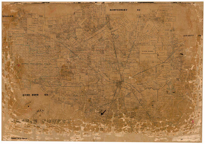
[Nathaniel H. Cochran Survey and Vicinity]
176-2 / 2
-
Map/Doc
91497
-
Collection
Twichell Survey Records
-
Counties
Newton
-
Height x Width
25.5 x 18.8 inches
64.8 x 47.8 cm
Part of: Twichell Survey Records
[Leagues 7, 8, 9, and 10]
![92218, [Leagues 7, 8, 9, and 10], Twichell Survey Records](https://historictexasmaps.com/wmedia_w700/maps/92218-1.tif.jpg)
![92218, [Leagues 7, 8, 9, and 10], Twichell Survey Records](https://historictexasmaps.com/wmedia_w700/maps/92218-1.tif.jpg)
Print $20.00
- Digital $50.00
[Leagues 7, 8, 9, and 10]
1943
Size 20.0 x 13.4 inches
Map/Doc 92218
Western Cotton Oil Co. Property Lamb County, Texas
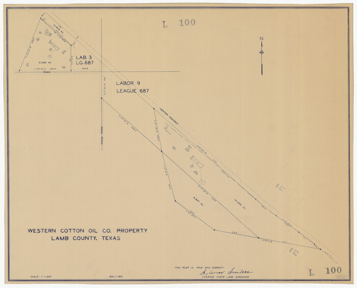

Print $20.00
- Digital $50.00
Western Cotton Oil Co. Property Lamb County, Texas
1951
Size 20.9 x 16.9 inches
Map/Doc 92166
[Sketch showing part of Blk. M6]
![89642, [Sketch showing part of Blk. M6], Twichell Survey Records](https://historictexasmaps.com/wmedia_w700/maps/89642-1.tif.jpg)
![89642, [Sketch showing part of Blk. M6], Twichell Survey Records](https://historictexasmaps.com/wmedia_w700/maps/89642-1.tif.jpg)
Print $40.00
- Digital $50.00
[Sketch showing part of Blk. M6]
1913
Size 64.8 x 30.3 inches
Map/Doc 89642
[H. & G. N. Block 1]
![90944, [H. & G. N. Block 1], Twichell Survey Records](https://historictexasmaps.com/wmedia_w700/maps/90944-1.tif.jpg)
![90944, [H. & G. N. Block 1], Twichell Survey Records](https://historictexasmaps.com/wmedia_w700/maps/90944-1.tif.jpg)
Print $20.00
- Digital $50.00
[H. & G. N. Block 1]
1873
Size 17.7 x 14.3 inches
Map/Doc 90944
John H. Stephens Block S2, State Capitol Leagues


Print $20.00
- Digital $50.00
John H. Stephens Block S2, State Capitol Leagues
Size 28.6 x 23.2 inches
Map/Doc 92995
[Block E, and Portions of Blocks 20 and S]
![91327, [Block E, and Portions of Blocks 20 and S], Twichell Survey Records](https://historictexasmaps.com/wmedia_w700/maps/91327-1.tif.jpg)
![91327, [Block E, and Portions of Blocks 20 and S], Twichell Survey Records](https://historictexasmaps.com/wmedia_w700/maps/91327-1.tif.jpg)
Print $20.00
- Digital $50.00
[Block E, and Portions of Blocks 20 and S]
Size 14.9 x 30.2 inches
Map/Doc 91327
J. C. Davis Southeast Quarter, Section 3, Block E


Print $20.00
- Digital $50.00
J. C. Davis Southeast Quarter, Section 3, Block E
Size 30.3 x 29.8 inches
Map/Doc 92740
Right-of-way & Track Map Dawson Railway Operated by the El Paso & Southwestern Company Station 1655+23.4 to Station 1867+09.6
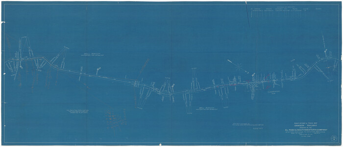

Print $40.00
- Digital $50.00
Right-of-way & Track Map Dawson Railway Operated by the El Paso & Southwestern Company Station 1655+23.4 to Station 1867+09.6
1910
Size 56.7 x 24.6 inches
Map/Doc 89657
Brazos River Conservation and Reclamation District Official Boundary Line Survey, Parmer County
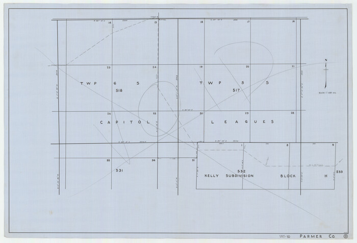

Print $20.00
- Digital $50.00
Brazos River Conservation and Reclamation District Official Boundary Line Survey, Parmer County
Size 24.6 x 16.8 inches
Map/Doc 91659
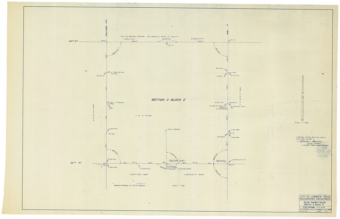
Sylvan Sanders Survey Section 3, Block E

Print $20.00
- Digital $50.00
Sylvan Sanders Survey Section 3, Block E
1952
Size 37.4 x 24.2 inches
Map/Doc 92741
Map of the Northwest Portion of Hutchinson County Showing the Proposed Resurvey of Block M24


Print $20.00
- Digital $50.00
Map of the Northwest Portion of Hutchinson County Showing the Proposed Resurvey of Block M24
Size 32.4 x 30.1 inches
Map/Doc 91237
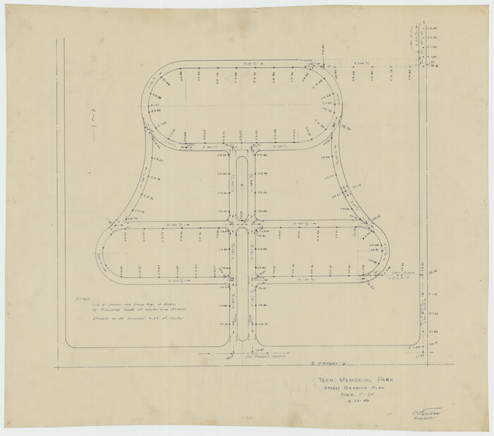
Tech Memorial Park Street Grading Plan

Print $20.00
- Digital $50.00
Tech Memorial Park Street Grading Plan
1948
Size 17.8 x 15.7 inches
Map/Doc 92272
You may also like
El Paso County Working Sketch 25


Print $20.00
- Digital $50.00
El Paso County Working Sketch 25
1962
Size 42.7 x 41.9 inches
Map/Doc 69047
Gulf Intracoastal Waterway - Aransas Bay to Corpus Christi Bay - Modified Route Main Channel


Print $20.00
- Digital $50.00
Gulf Intracoastal Waterway - Aransas Bay to Corpus Christi Bay - Modified Route Main Channel
Size 30.9 x 41.9 inches
Map/Doc 61904
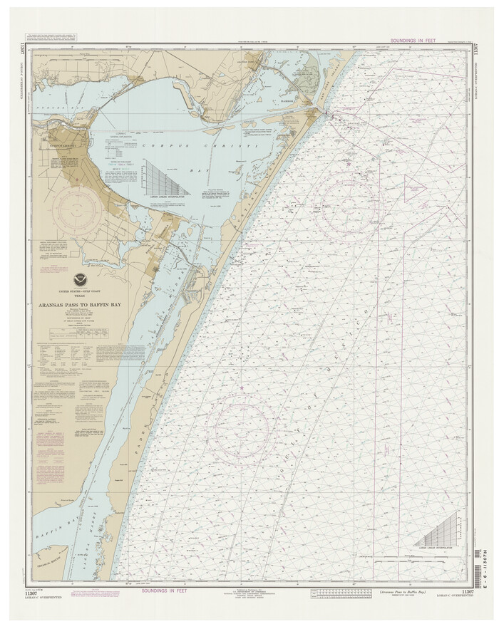
Aransas Pass to Baffin Bay

Print $20.00
- Digital $50.00
Aransas Pass to Baffin Bay
1992
Size 45.0 x 36.0 inches
Map/Doc 73423
[Surveys in Austin's Colony]
![78, [Surveys in Austin's Colony], General Map Collection](https://historictexasmaps.com/wmedia_w700/maps/78.tif.jpg)
![78, [Surveys in Austin's Colony], General Map Collection](https://historictexasmaps.com/wmedia_w700/maps/78.tif.jpg)
Print $20.00
- Digital $50.00
[Surveys in Austin's Colony]
Size 16.0 x 13.0 inches
Map/Doc 78
Victoria County Rolled Sketch 9


Print $20.00
- Digital $50.00
Victoria County Rolled Sketch 9
Size 24.1 x 36.2 inches
Map/Doc 95399
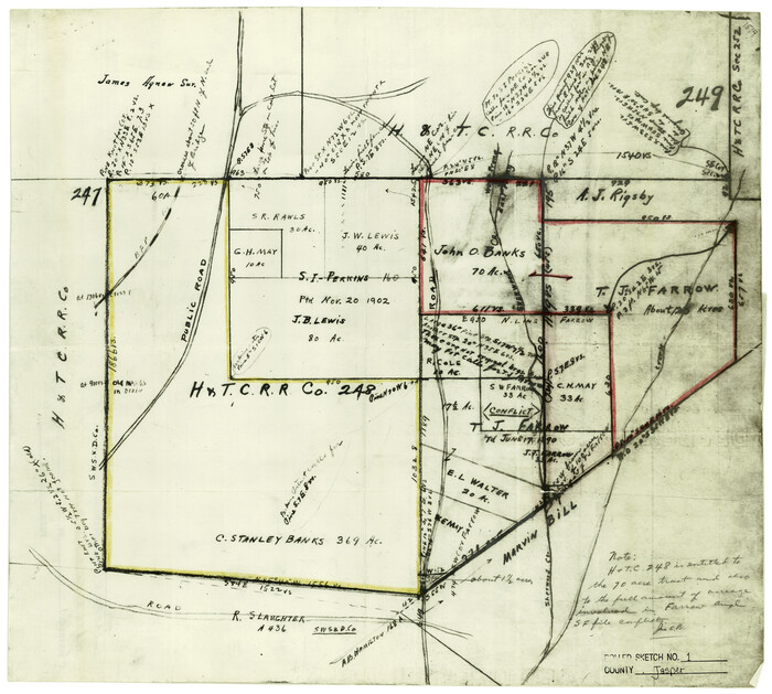
Jasper County Rolled Sketch 1

Print $20.00
- Digital $50.00
Jasper County Rolled Sketch 1
Size 17.0 x 18.9 inches
Map/Doc 6346
Flight Mission No. DAH-9M, Frame 164, Orange County
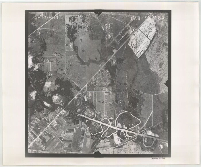

Print $20.00
- Digital $50.00
Flight Mission No. DAH-9M, Frame 164, Orange County
1953
Size 18.6 x 22.3 inches
Map/Doc 86863
Anderson County
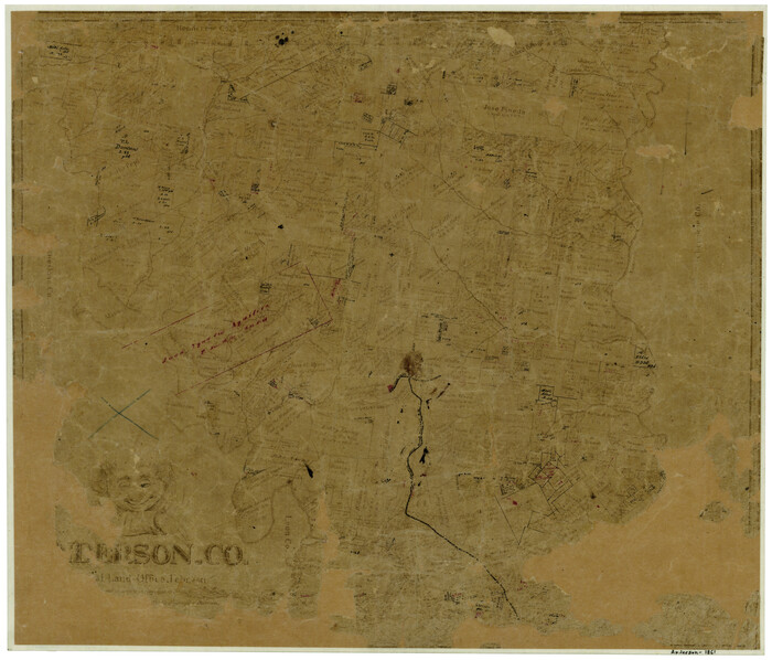

Print $20.00
- Digital $50.00
Anderson County
1861
Size 18.0 x 21.2 inches
Map/Doc 774
Brewster County Sketch File N-10
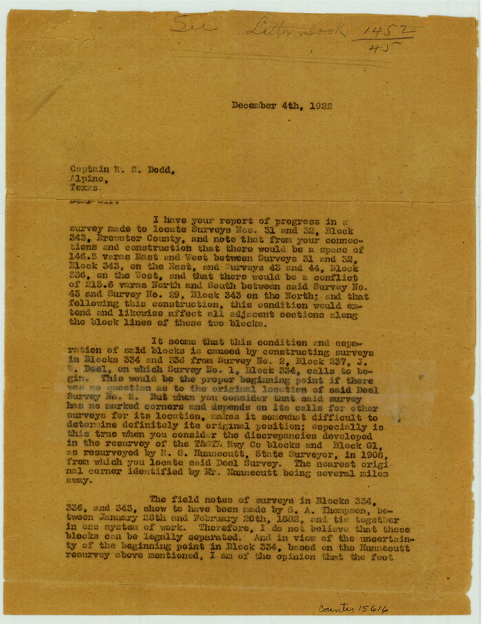

Print $14.00
- Digital $50.00
Brewster County Sketch File N-10
1922
Size 11.2 x 8.7 inches
Map/Doc 15616
Galveston County Rolled Sketch 34
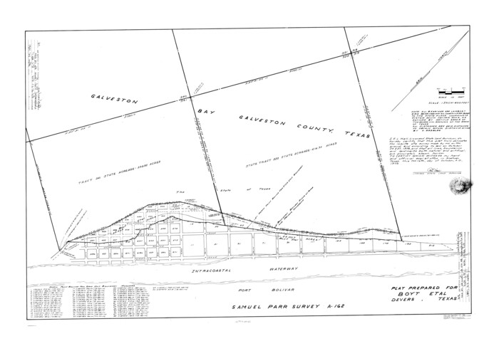

Print $20.00
- Digital $50.00
Galveston County Rolled Sketch 34
1979
Size 28.0 x 39.7 inches
Map/Doc 5966
Coryell County Sketch File 26
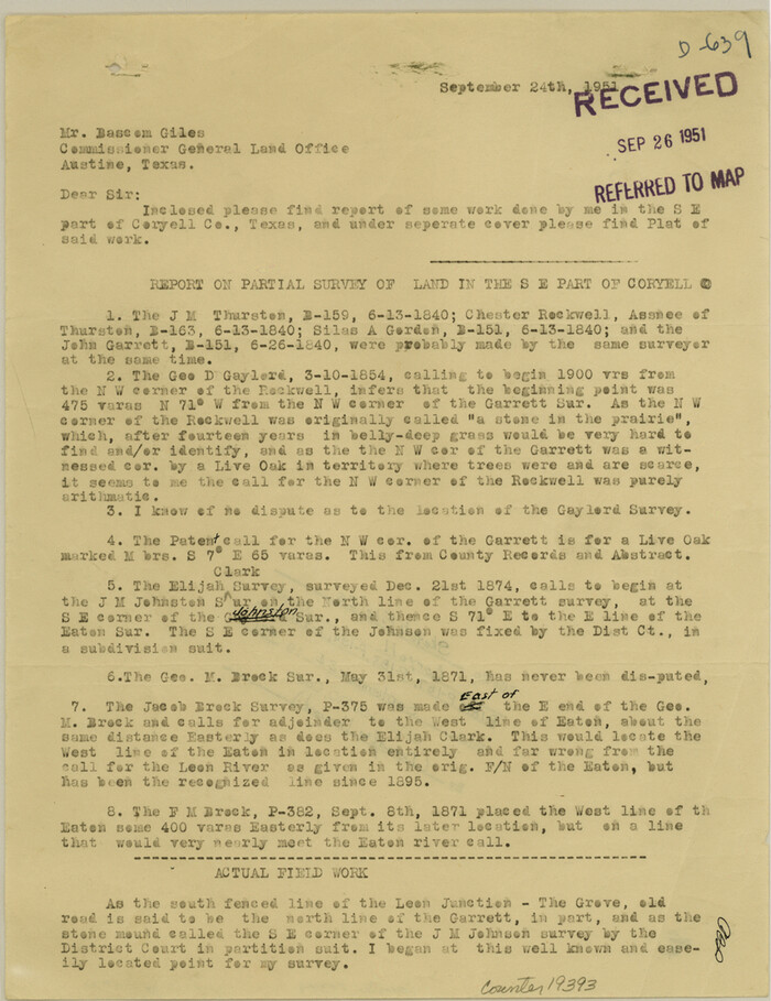

Print $10.00
- Digital $50.00
Coryell County Sketch File 26
1951
Size 11.1 x 8.5 inches
Map/Doc 19393
![91497, [Nathaniel H. Cochran Survey and Vicinity], Twichell Survey Records](https://historictexasmaps.com/wmedia_w1800h1800/maps/91497-1.tif.jpg)
