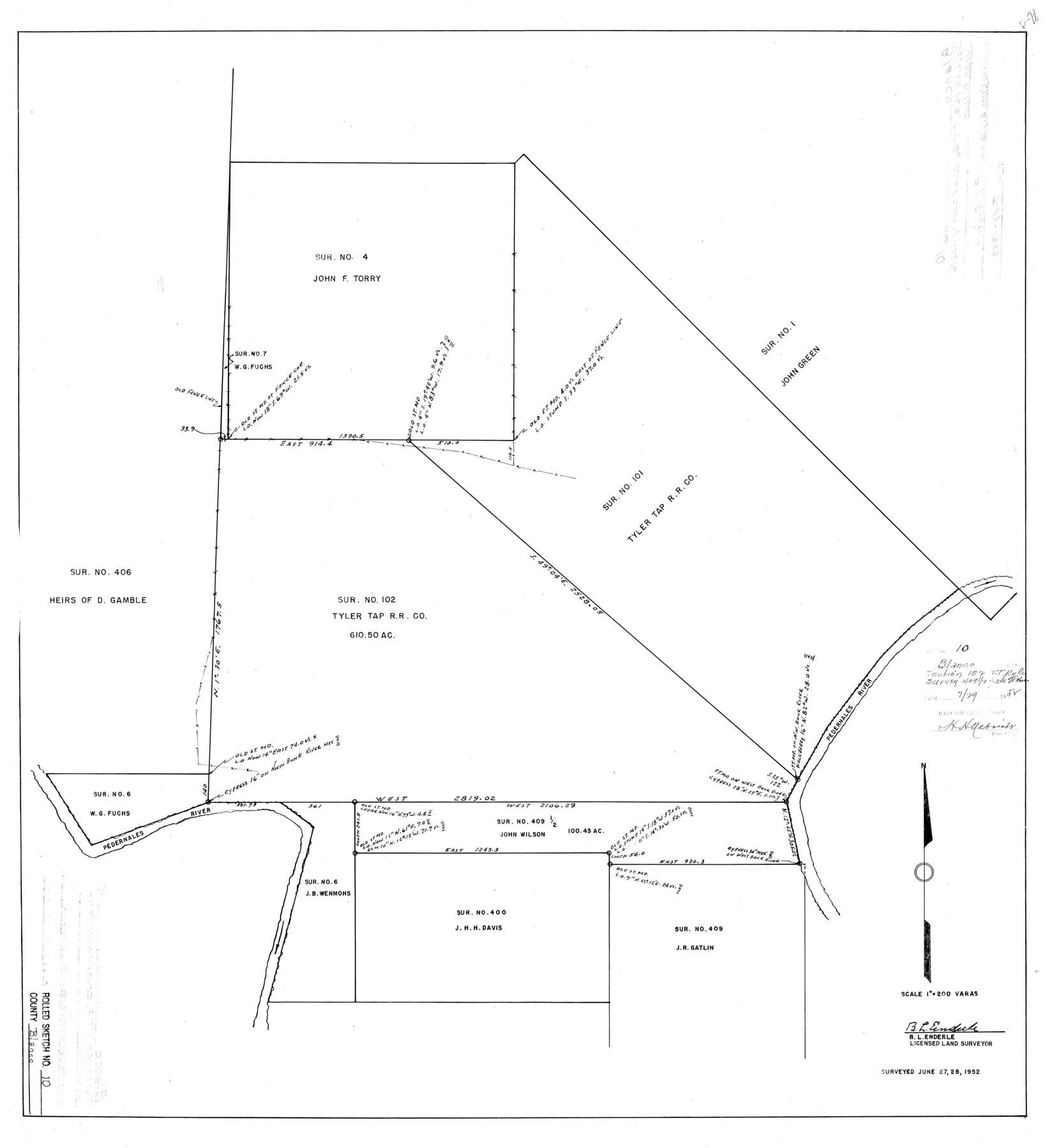
Blanco County Rolled Sketch 10
[Sketch showing T.T. R.R. Co. survey 102 and John Wilson survey 409 1/2]
-
Map/Doc
5146
-
Collection
General Map Collection
-
Object Dates
1952/6/28 (Survey Date)
1952/7/29 (File Date)
1952/6/27 (Survey Date)
-
People and Organizations
B.L. Enderle (Surveyor/Engineer)
-
Counties
Blanco
-
Subjects
Surveying Rolled Sketch
-
Height x Width
28.0 x 25.6 inches
71.1 x 65.0 cm
-
Scale
1" = 200 varas
Part of: General Map Collection
Travis County State Real Property Sketch 18

Print $20.00
Travis County State Real Property Sketch 18
2005
Size 24.4 x 35.2 inches
Map/Doc 96976

Young County Rolled Sketch 5

Print $20.00
- Digital $50.00
Young County Rolled Sketch 5
Size 20.2 x 26.1 inches
Map/Doc 8293
Flight Mission No. DAG-24K, Frame 158, Matagorda County

Print $20.00
- Digital $50.00
Flight Mission No. DAG-24K, Frame 158, Matagorda County
1953
Size 18.6 x 22.5 inches
Map/Doc 86572
Polk County Working Sketch 42

Print $20.00
- Digital $50.00
Polk County Working Sketch 42
1992
Size 30.8 x 35.7 inches
Map/Doc 71659
Kinney County Boundary File 1

Print $94.00
- Digital $50.00
Kinney County Boundary File 1
Size 20.3 x 3.7 inches
Map/Doc 64935
Freestone County Boundary File 30a

Print $10.00
- Digital $50.00
Freestone County Boundary File 30a
Size 14.1 x 8.8 inches
Map/Doc 53592
Travis County Sketch File 11

Print $4.00
- Digital $50.00
Travis County Sketch File 11
1872
Size 11.4 x 8.8 inches
Map/Doc 38300
Cooke County Working Sketch 4

Print $20.00
- Digital $50.00
Cooke County Working Sketch 4
1926
Size 23.5 x 17.6 inches
Map/Doc 68241
Foard County Sketch File 26

Print $40.00
- Digital $50.00
Foard County Sketch File 26
Size 13.5 x 17.7 inches
Map/Doc 22856


You may also like
Jefferson County Aerial Photograph Index Sheet 8

Print $20.00
- Digital $50.00
Jefferson County Aerial Photograph Index Sheet 8
1953
Size 23.4 x 17.0 inches
Map/Doc 83712
Limestone County State Real Property Sketch 1

Print $20.00
- Digital $50.00
Limestone County State Real Property Sketch 1
2010
Size 35.9 x 24.6 inches
Map/Doc 89570
Crane County Working Sketch 32

Print $20.00
- Digital $50.00
Crane County Working Sketch 32
1984
Size 37.6 x 43.1 inches
Map/Doc 68309
Val Verde County Sketch File A4

Print $10.00
- Digital $50.00
Val Verde County Sketch File A4
1897
Size 9.2 x 8.5 inches
Map/Doc 39046
R. H. Fulton Lands

Print $20.00
- Digital $50.00
R. H. Fulton Lands
Size 39.9 x 14.3 inches
Map/Doc 92509
Dimmit County Working Sketch 44

Print $20.00
- Digital $50.00
Dimmit County Working Sketch 44
1979
Size 31.7 x 34.0 inches
Map/Doc 68705
[Sketch showing the south half of the northeast quarter of the county showing surveys south of the Canadian River]
![93013, [Sketch showing the south half of the northeast quarter of the county showing surveys south of the Canadian River], Twichell Survey Records](https://historictexasmaps.com/wmedia_w700/maps/93013-1.tif.jpg)
Print $20.00
- Digital $50.00
[Sketch showing the south half of the northeast quarter of the county showing surveys south of the Canadian River]
Size 19.7 x 10.2 inches
Map/Doc 93013
Anderson County Working Sketch 10

Print $20.00
- Digital $50.00
Anderson County Working Sketch 10
1933
Size 31.0 x 48.5 inches
Map/Doc 67009
Blanco County Sketch File 12

Print $20.00
- Digital $50.00
Blanco County Sketch File 12
Size 15.0 x 19.8 inches
Map/Doc 10928
Jeff Davis County Sketch File 40

Print $40.00
- Digital $50.00
Jeff Davis County Sketch File 40
1959
Size 12.8 x 18.2 inches
Map/Doc 28062
Leon County Working Sketch 21

Print $20.00
- Digital $50.00
Leon County Working Sketch 21
1964
Size 20.9 x 22.9 inches
Map/Doc 70420
Callahan County Sketch File 6a

Print $24.00
- Digital $50.00
Callahan County Sketch File 6a
Size 8.0 x 6.8 inches
Map/Doc 35860