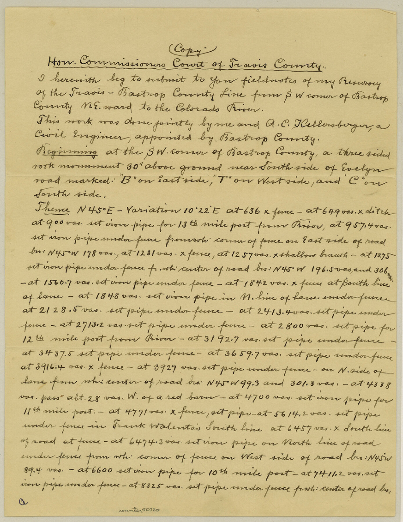
Bastrop County Boundary File 3
Plat and Field Notes of a re-trace of Travis-Bastrop County Boundary South of Colorado River
-
Map/Doc
50320
-
Collection
General Map Collection
-
Object Dates
1925 (Creation Date)
-
Counties
Bastrop Travis
-
Subjects
County Boundaries
-
Height x Width
11.3 x 8.7 inches
28.7 x 22.1 cm
Part of: General Map Collection
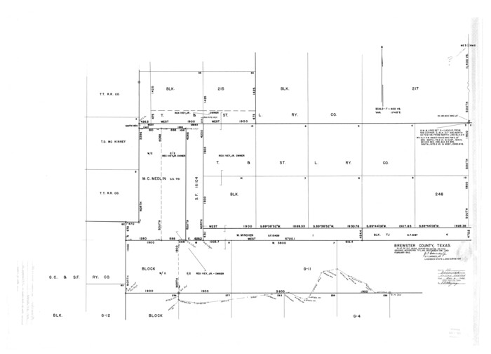
Brewster County Rolled Sketch 111

Print $20.00
- Digital $50.00
Brewster County Rolled Sketch 111
1962
Size 32.2 x 44.7 inches
Map/Doc 8512
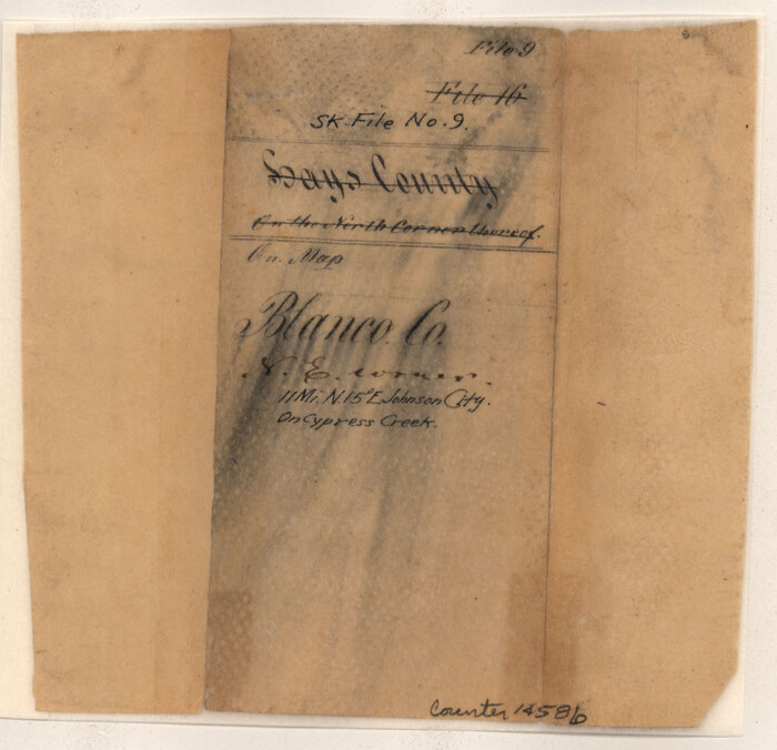
Blanco County Sketch File 9

Print $4.00
- Digital $50.00
Blanco County Sketch File 9
Size 6.9 x 13.9 inches
Map/Doc 14586
Titus County Sketch File 1


Print $4.00
- Digital $50.00
Titus County Sketch File 1
Size 13.3 x 8.2 inches
Map/Doc 38130
Uvalde County Rolled Sketch 10


Print $20.00
- Digital $50.00
Uvalde County Rolled Sketch 10
Size 23.5 x 16.1 inches
Map/Doc 8095
Jefferson County Sketch File 40
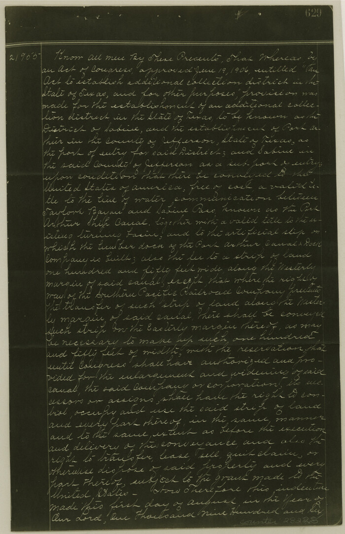

Print $16.00
- Digital $50.00
Jefferson County Sketch File 40
1947
Size 12.3 x 7.9 inches
Map/Doc 28228
San Patricio County Rolled Sketch 38


Print $20.00
- Digital $50.00
San Patricio County Rolled Sketch 38
1950
Size 15.6 x 15.7 inches
Map/Doc 7588
Chambers County Working Sketch 29
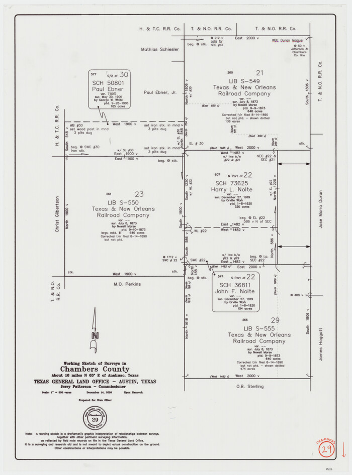

Print $20.00
- Digital $50.00
Chambers County Working Sketch 29
2009
Size 25.2 x 18.6 inches
Map/Doc 89232
Pecos County Sketch File 38
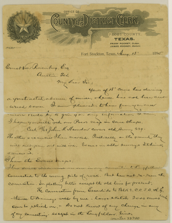

Print $4.00
- Digital $50.00
Pecos County Sketch File 38
1895
Size 11.3 x 8.8 inches
Map/Doc 33720
Polk County Sketch File 34
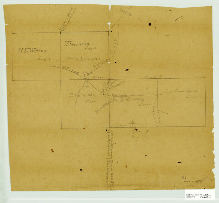

Print $20.00
- Digital $50.00
Polk County Sketch File 34
Size 16.9 x 18.2 inches
Map/Doc 12194
Cooke County Sketch File 36
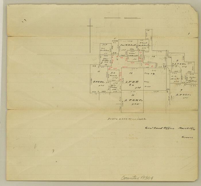

Print $4.00
- Digital $50.00
Cooke County Sketch File 36
1881
Size 7.8 x 8.4 inches
Map/Doc 19304
Hays County Sketch File 15

Print $40.00
- Digital $50.00
Hays County Sketch File 15
1871
Size 12.0 x 16.6 inches
Map/Doc 26225
You may also like
Mills County Working Sketch 7
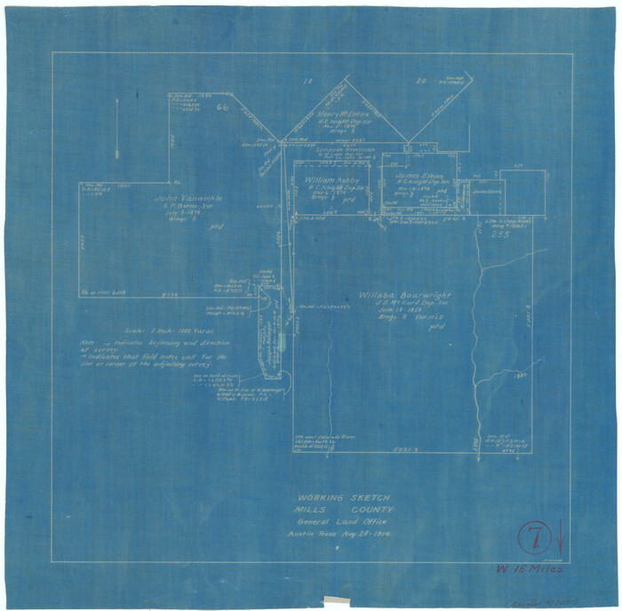

Print $20.00
- Digital $50.00
Mills County Working Sketch 7
1914
Size 12.8 x 13.0 inches
Map/Doc 71037
La Salle County Sketch File 32


Print $16.00
- Digital $50.00
La Salle County Sketch File 32
1883
Size 14.3 x 8.8 inches
Map/Doc 29576
Map of Texas and the Countries Adjacent


Map of Texas and the Countries Adjacent
1844
Size 19.0 x 29.6 inches
Map/Doc 94561
Chart showing the relative positions of the lights in the Eighth Light House District extending from Cedar Keys, Florida to Rio Grande, Texas


Print $20.00
- Digital $50.00
Chart showing the relative positions of the lights in the Eighth Light House District extending from Cedar Keys, Florida to Rio Grande, Texas
1876
Size 24.7 x 18.2 inches
Map/Doc 72680
Wilbarger Co.


Print $40.00
- Digital $50.00
Wilbarger Co.
1907
Size 49.1 x 40.3 inches
Map/Doc 63126
[Southwest part of County]
![90921, [Southwest part of County], Twichell Survey Records](https://historictexasmaps.com/wmedia_w700/maps/90921-1.tif.jpg)
![90921, [Southwest part of County], Twichell Survey Records](https://historictexasmaps.com/wmedia_w700/maps/90921-1.tif.jpg)
Print $20.00
- Digital $50.00
[Southwest part of County]
Size 29.0 x 18.3 inches
Map/Doc 90921
Stephens County Working Sketch 27
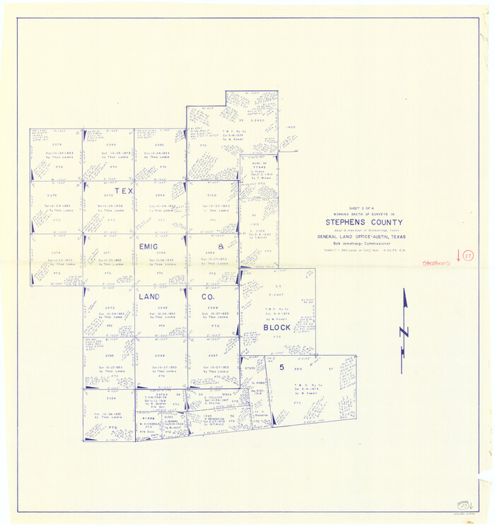

Print $20.00
- Digital $50.00
Stephens County Working Sketch 27
1976
Size 34.4 x 32.3 inches
Map/Doc 63970
San Saba County Sketch File 1


Print $46.00
- Digital $50.00
San Saba County Sketch File 1
1854
Size 9.1 x 7.8 inches
Map/Doc 36400
Presidio County Sketch File B
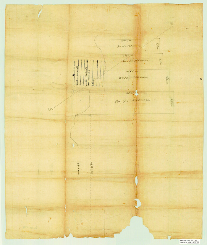

Print $20.00
- Digital $50.00
Presidio County Sketch File B
Size 25.2 x 21.3 inches
Map/Doc 11701
Texas Official Travel Map


Digital $50.00
Texas Official Travel Map
Size 33.5 x 36.2 inches
Map/Doc 94303
Presidio County Rolled Sketch 140


Print $20.00
- Digital $50.00
Presidio County Rolled Sketch 140
2003
Size 44.4 x 34.7 inches
Map/Doc 78654
