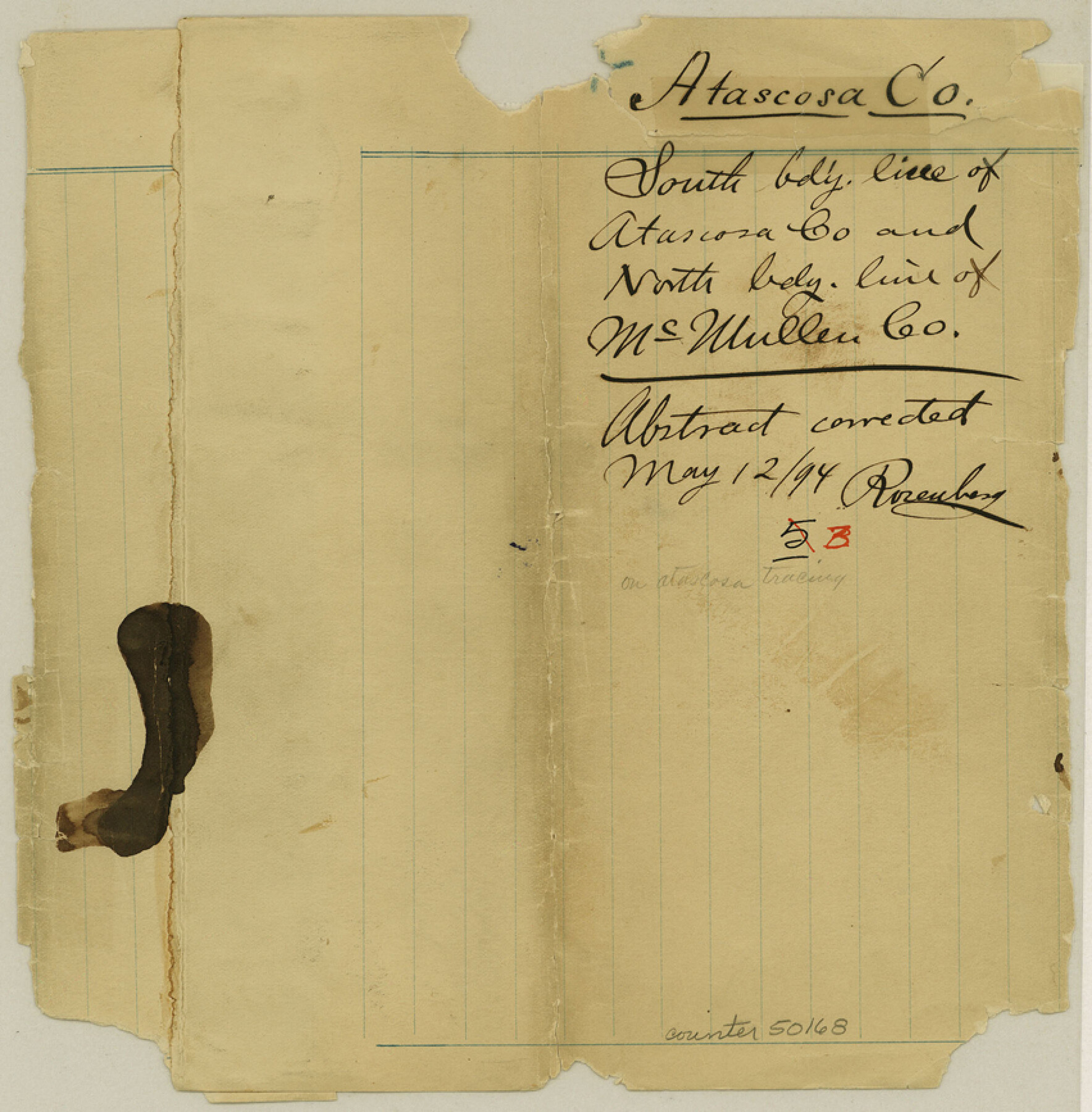
Atascosa County Boundary File 3
Field Notes of County Line Atascosa and McMullen; South bdy. Line of Atascosa Co. and North bdy. Line of McMullen Co.
-
Map/Doc
50168
-
Collection
General Map Collection
-
Counties
Atascosa
-
Subjects
County Boundaries
-
Height x Width
8.7 x 8.5 inches
22.1 x 21.6 cm
Part of: General Map Collection
Hartley County Rolled Sketch 2

Print $20.00
- Digital $50.00
Hartley County Rolled Sketch 2
Size 41.2 x 27.6 inches
Map/Doc 6158
Motley County Sketch File 6a (S)

Print $40.00
- Digital $50.00
Motley County Sketch File 6a (S)
1894
Size 14.3 x 14.4 inches
Map/Doc 32147
Flight Mission No. DCL-7C, Frame 38, Kenedy County

Print $20.00
- Digital $50.00
Flight Mission No. DCL-7C, Frame 38, Kenedy County
1943
Size 15.4 x 15.1 inches
Map/Doc 86026
Chambers County Sketch File 5

Print $2.00
- Digital $50.00
Chambers County Sketch File 5
Size 7.2 x 6.3 inches
Map/Doc 17539
Flight Mission No. DAG-23K, Frame 145, Matagorda County

Print $20.00
- Digital $50.00
Flight Mission No. DAG-23K, Frame 145, Matagorda County
1953
Size 15.7 x 15.8 inches
Map/Doc 86493
Flight Mission No. BQR-7K, Frame 26, Brazoria County

Print $20.00
- Digital $50.00
Flight Mission No. BQR-7K, Frame 26, Brazoria County
1952
Size 18.7 x 22.3 inches
Map/Doc 84024
Culberson County Working Sketch 43

Print $40.00
- Digital $50.00
Culberson County Working Sketch 43
1970
Size 52.4 x 38.0 inches
Map/Doc 68497
San Jacinto River and Tributaries, Texas - Survey of 1939

Print $20.00
- Digital $50.00
San Jacinto River and Tributaries, Texas - Survey of 1939
1939
Size 27.7 x 40.4 inches
Map/Doc 60306
Crockett County Rolled Sketch 88N

Print $89.00
- Digital $50.00
Crockett County Rolled Sketch 88N
1973
Size 10.6 x 15.5 inches
Map/Doc 44132
Kinney County Rolled Sketch 10

Print $20.00
- Digital $50.00
Kinney County Rolled Sketch 10
1942
Size 22.9 x 20.4 inches
Map/Doc 6539
El Paso County Rolled Sketch 2

Print $40.00
- Digital $50.00
El Paso County Rolled Sketch 2
Size 42.8 x 124.4 inches
Map/Doc 76433
Hockley County Sketch File 1

Print $20.00
- Digital $50.00
Hockley County Sketch File 1
Size 20.3 x 18.9 inches
Map/Doc 11767
You may also like
Webb County Working Sketch 64

Print $20.00
- Digital $50.00
Webb County Working Sketch 64
1962
Size 12.8 x 26.1 inches
Map/Doc 72430
Garza County Working Sketch Graphic Index

Print $20.00
- Digital $50.00
Garza County Working Sketch Graphic Index
1928
Size 46.7 x 36.2 inches
Map/Doc 76552
[Sketch of common corner of Oldham, Potter, Deaf Smith and Randall Counties]
![93060, [Sketch of common corner of Oldham, Potter, Deaf Smith and Randall Counties], Twichell Survey Records](https://historictexasmaps.com/wmedia_w700/maps/93060-1.tif.jpg)
Print $20.00
- Digital $50.00
[Sketch of common corner of Oldham, Potter, Deaf Smith and Randall Counties]
Size 17.2 x 33.1 inches
Map/Doc 93060
Matagorda County Rolled Sketch H & W

Matagorda County Rolled Sketch H & W
1936
Size 27.1 x 41.2 inches
Map/Doc 61776
Shaw Farm, State Prison Farm, Bowie County

Print $20.00
- Digital $50.00
Shaw Farm, State Prison Farm, Bowie County
Size 16.1 x 17.9 inches
Map/Doc 73559
Slaton-Tex Water System

Print $20.00
- Digital $50.00
Slaton-Tex Water System
1922
Size 47.7 x 37.6 inches
Map/Doc 92818
South Part Presidio County

Print $20.00
- Digital $50.00
South Part Presidio County
1975
Size 35.0 x 40.3 inches
Map/Doc 95617
Ector County Boundary File 4

Print $4.00
- Digital $50.00
Ector County Boundary File 4
Size 13.3 x 8.2 inches
Map/Doc 52845
Culberson County Rolled Sketch 23

Print $20.00
- Digital $50.00
Culberson County Rolled Sketch 23
1888
Size 24.1 x 35.2 inches
Map/Doc 5655
Map of Young County

Print $20.00
- Digital $50.00
Map of Young County
Size 25.6 x 29.8 inches
Map/Doc 92023
Jefferson County Working Sketch 23

Print $20.00
- Digital $50.00
Jefferson County Working Sketch 23
1970
Size 23.9 x 29.2 inches
Map/Doc 66566
Ochiltree County Boundary File 1b

Print $16.00
- Digital $50.00
Ochiltree County Boundary File 1b
Size 8.6 x 8.4 inches
Map/Doc 57666