Map of Erath County
-
Map/Doc
4537
-
Collection
General Map Collection
-
Object Dates
4/1872 (Creation Date)
-
People and Organizations
Herman Lungkwitz (Draftsman)
L. Klappenbach (Draftsman)
J.H. Hutchins (Compiler)
-
Counties
Erath
-
Subjects
County
-
Height x Width
21.0 x 19.4 inches
53.3 x 49.3 cm
-
Features
Saline Creek
Perry's Creek
Paloxy Creek
Richardson's Creek
Sycamore Creek
Pony Creek
Armstrongs Creek
Scott's Creek
Stephenville
Alarm Creek
Bosque River
Walkers Creek
Green's Creek
Duffau's Creek
Gillmore [sic] Creek
Resley's Creek
Part of: General Map Collection
Cochran County


Print $20.00
- Digital $50.00
Cochran County
1946
Size 33.3 x 25.5 inches
Map/Doc 95456
Andrews County Sketch File 20
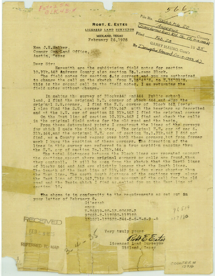

Print $6.00
- Digital $50.00
Andrews County Sketch File 20
Size 11.2 x 8.7 inches
Map/Doc 12916
Coke County Sketch File 13


Print $40.00
- Digital $50.00
Coke County Sketch File 13
Size 17.5 x 13.1 inches
Map/Doc 18596
Travis County Working Sketch 18
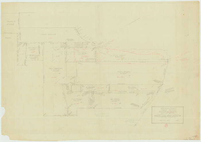

Print $20.00
- Digital $50.00
Travis County Working Sketch 18
1945
Size 30.4 x 42.9 inches
Map/Doc 69402
Sabine County Sketch File 7
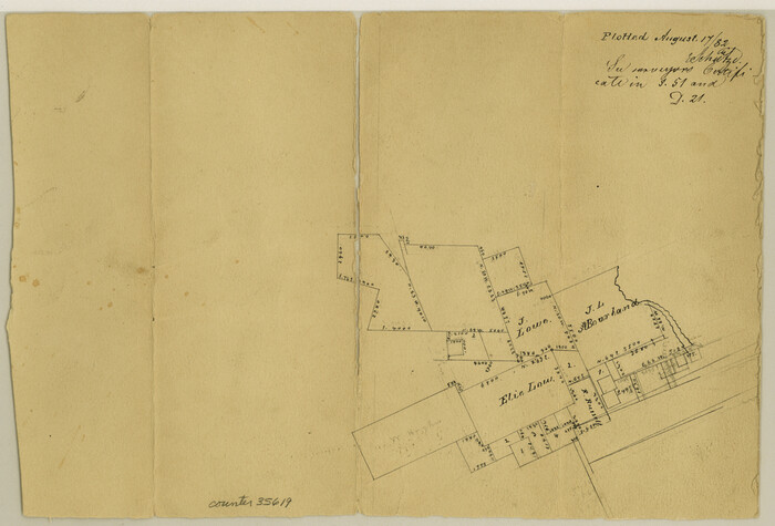

Print $2.00
Sabine County Sketch File 7
1882
Size 8.6 x 12.7 inches
Map/Doc 35619
Reeves County Working Sketch 32
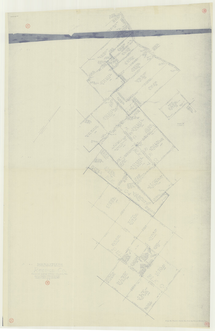

Print $40.00
- Digital $50.00
Reeves County Working Sketch 32
1969
Size 58.3 x 37.9 inches
Map/Doc 63475
Trinity County
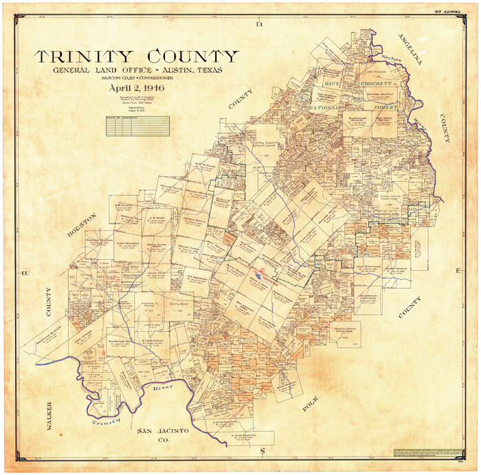

Print $20.00
- Digital $50.00
Trinity County
1946
Size 42.7 x 43.2 inches
Map/Doc 95656
Titus County Boundary File 3
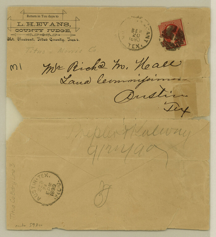

Print $6.00
- Digital $50.00
Titus County Boundary File 3
Size 7.6 x 6.9 inches
Map/Doc 59300
La Salle County Working Sketch 22
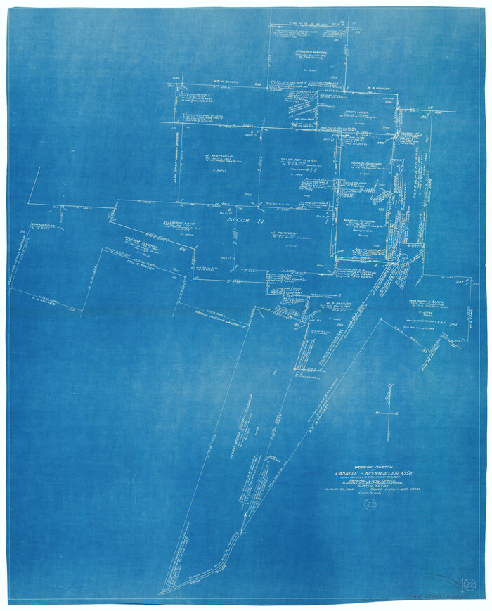

Print $20.00
- Digital $50.00
La Salle County Working Sketch 22
1942
Size 36.2 x 29.2 inches
Map/Doc 70323
Hemphill County Working Sketch 28
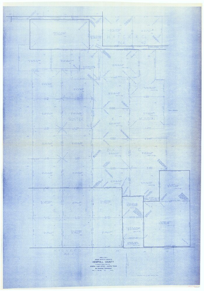

Print $40.00
- Digital $50.00
Hemphill County Working Sketch 28
1974
Size 61.8 x 43.5 inches
Map/Doc 66123
Brazoria County Sketch File 53


Print $14.00
- Digital $50.00
Brazoria County Sketch File 53
1919
Size 14.2 x 8.6 inches
Map/Doc 15316
Mills County Working Sketch 9
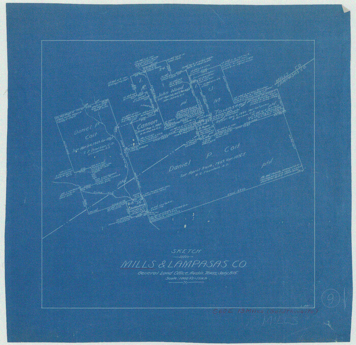

Print $20.00
- Digital $50.00
Mills County Working Sketch 9
1915
Size 13.3 x 13.7 inches
Map/Doc 71039
You may also like
Van Zandt County Sketch File 20a


Print $4.00
- Digital $50.00
Van Zandt County Sketch File 20a
1858
Size 12.9 x 8.0 inches
Map/Doc 39428
Hutchinson County Sketch File 6
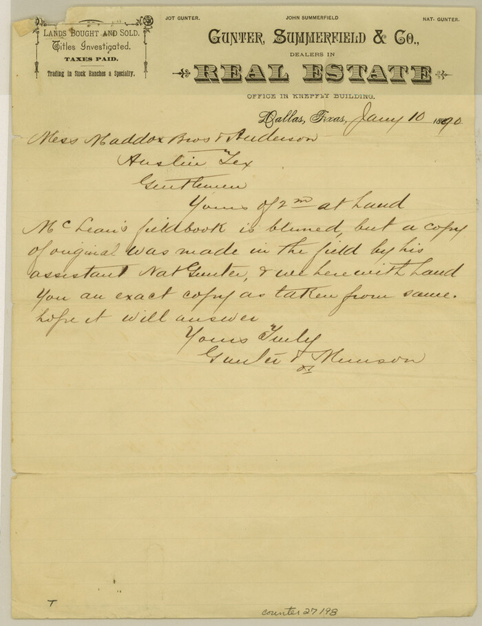

Print $8.00
- Digital $50.00
Hutchinson County Sketch File 6
1890
Size 10.9 x 8.4 inches
Map/Doc 27198
Fisher County Working Sketch 8
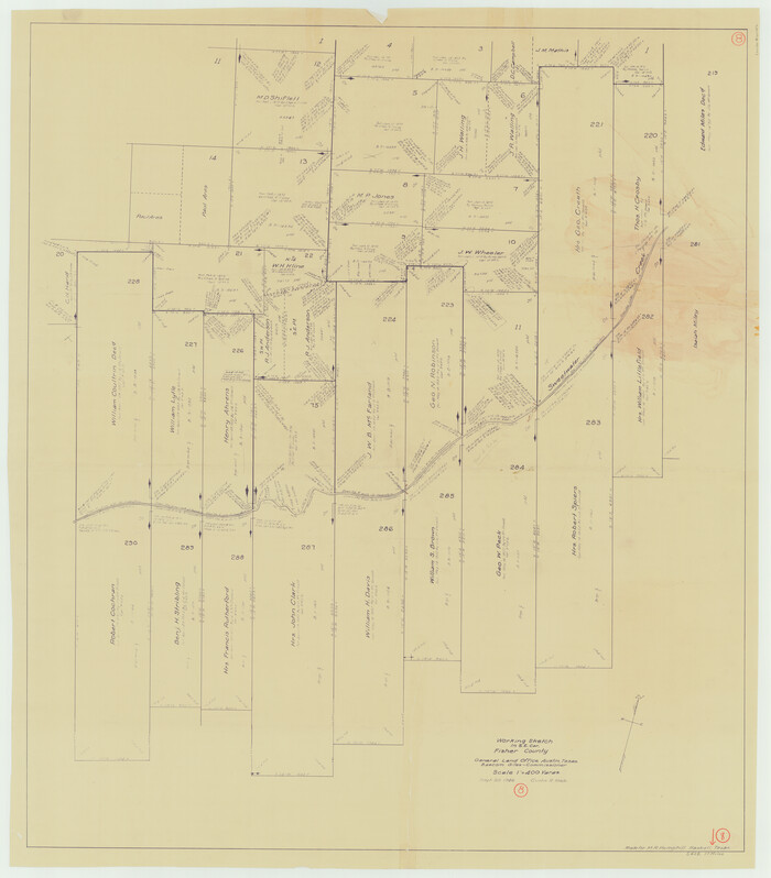

Print $20.00
- Digital $50.00
Fisher County Working Sketch 8
1946
Size 42.5 x 37.3 inches
Map/Doc 69142
Map of east part of West Bay & SW part of Galveston Bay, Galveston County showing subdivision for mineral development


Print $40.00
- Digital $50.00
Map of east part of West Bay & SW part of Galveston Bay, Galveston County showing subdivision for mineral development
Size 69.6 x 48.0 inches
Map/Doc 65804
Collin County Working Sketch 7


Print $40.00
- Digital $50.00
Collin County Working Sketch 7
2004
Size 50.5 x 33.8 inches
Map/Doc 83563
The Republic County of Matagorda. January 19, 1841


Print $20.00
The Republic County of Matagorda. January 19, 1841
2020
Size 21.0 x 21.7 inches
Map/Doc 96220
Sulphur River, Terry Lake Sheet
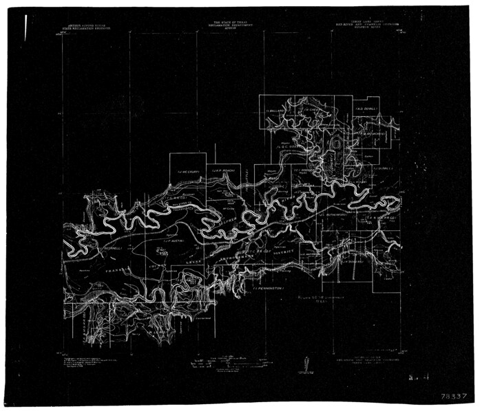

Print $20.00
- Digital $50.00
Sulphur River, Terry Lake Sheet
1919
Size 15.7 x 18.3 inches
Map/Doc 78337
San Jacinto County Rolled Sketch 14
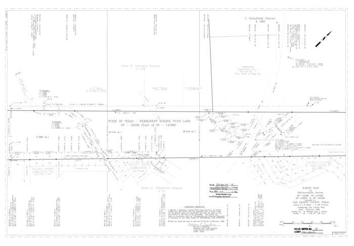

Print $20.00
- Digital $50.00
San Jacinto County Rolled Sketch 14
1998
Size 25.8 x 37.2 inches
Map/Doc 7569
Jack County Working Sketch 8
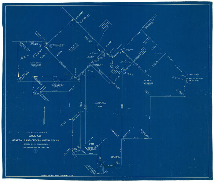

Print $20.00
- Digital $50.00
Jack County Working Sketch 8
1954
Size 30.5 x 35.9 inches
Map/Doc 66434
Webb County Sketch File B


Print $20.00
- Digital $50.00
Webb County Sketch File B
Size 15.9 x 13.7 inches
Map/Doc 12605
Flight Mission No. DCL-5C, Frame 51, Kenedy County
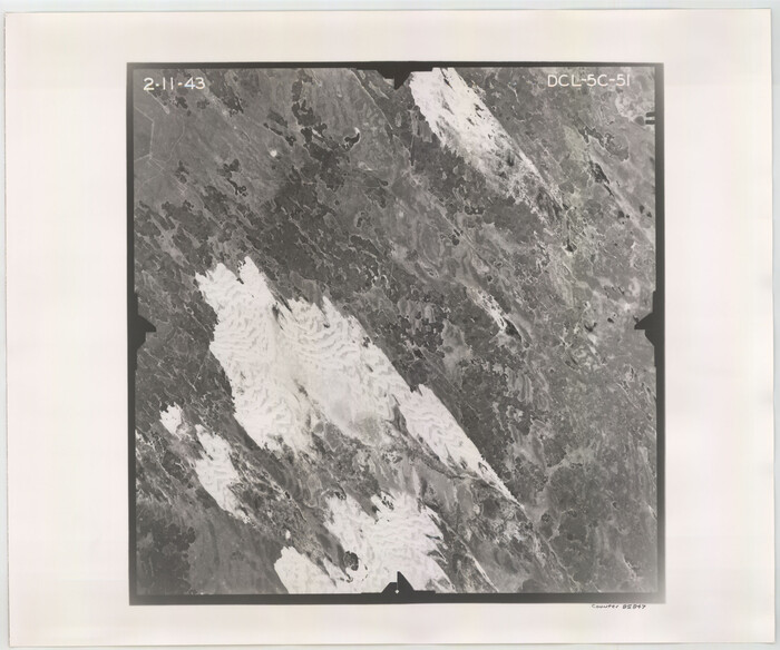

Print $20.00
- Digital $50.00
Flight Mission No. DCL-5C, Frame 51, Kenedy County
1943
Size 18.5 x 22.2 inches
Map/Doc 85847
Jefferson County NRC Article 33.136 Sketch 15
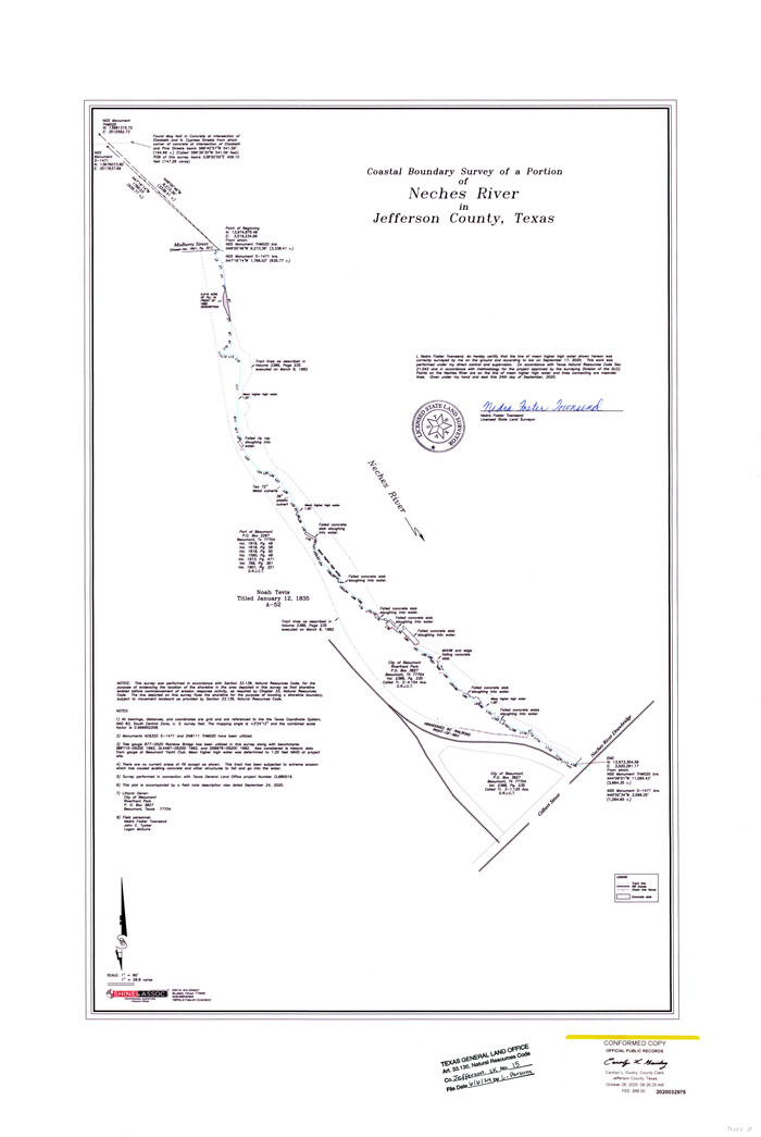

Print $38.00
Jefferson County NRC Article 33.136 Sketch 15
2020
Map/Doc 97253
