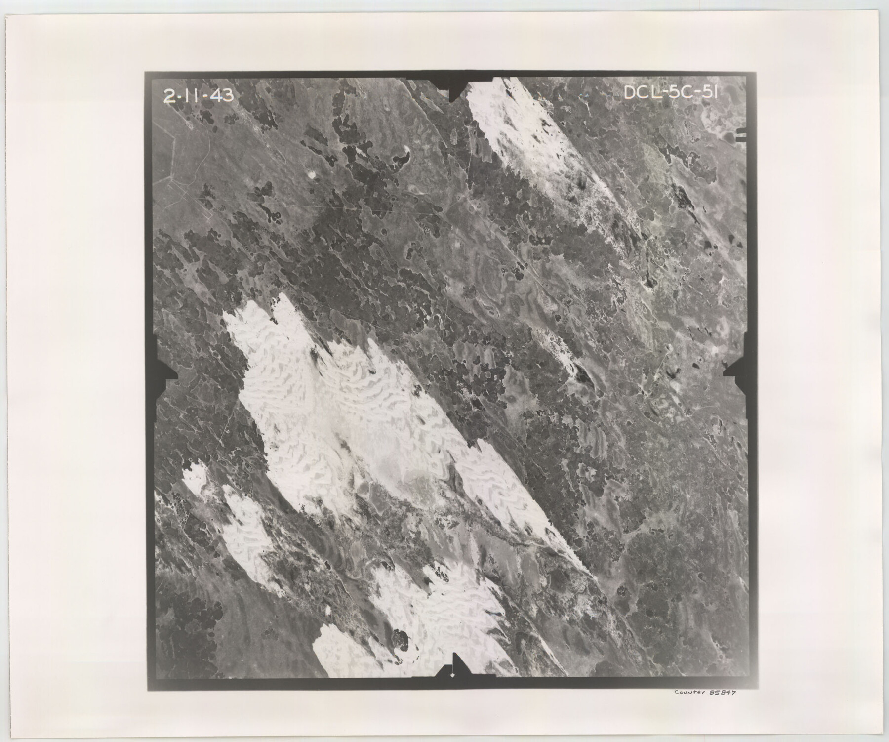
Flight Mission No. DCL-5C, Frame 51, Kenedy County
DCL-5C-51
-
Map/Doc
85847
-
Collection
General Map Collection
-
Object Dates
1943/2/11 (Creation Date)
-
People and Organizations
U. S. Department of Agriculture (Publisher)
-
Counties
Kenedy
-
Subjects
Aerial Photograph
-
Height x Width
18.5 x 22.2 inches
47.0 x 56.4 cm
-
Comments
Flown by Aerial Surveys of Pittsburgh, Inc. of Pittsburgh, Pennsylvania.
Part of: General Map Collection
Map of Fort Worth

Print $40.00
- Digital $50.00
Map of Fort Worth
1902
Size 61.3 x 34.8 inches
Map/Doc 93274
Flight Mission No. CGI-4N, Frame 181, Cameron County

Print $20.00
- Digital $50.00
Flight Mission No. CGI-4N, Frame 181, Cameron County
1955
Size 18.2 x 22.4 inches
Map/Doc 84684
Plan of the C. C. S. D. & R. G. N. G. R.R.

Print $20.00
- Digital $50.00
Plan of the C. C. S. D. & R. G. N. G. R.R.
1878
Size 14.3 x 40.9 inches
Map/Doc 64481
Flight Mission No. CUG-1P, Frame 21, Kleberg County

Print $20.00
- Digital $50.00
Flight Mission No. CUG-1P, Frame 21, Kleberg County
1956
Size 18.5 x 22.2 inches
Map/Doc 86111
[Surveys in the Bexar District along the Frio and Leona Rivers]
![136, [Surveys in the Bexar District along the Frio and Leona Rivers], General Map Collection](https://historictexasmaps.com/wmedia_w700/maps/136.tif.jpg)
Print $20.00
- Digital $50.00
[Surveys in the Bexar District along the Frio and Leona Rivers]
1842
Size 16.2 x 12.2 inches
Map/Doc 136
Sutton County Working Sketch 4

Print $20.00
- Digital $50.00
Sutton County Working Sketch 4
1969
Size 40.3 x 32.2 inches
Map/Doc 62347
Cochran County Boundary File 4

Print $2.00
- Digital $50.00
Cochran County Boundary File 4
Size 10.4 x 4.2 inches
Map/Doc 51555
Culberson County Working Sketch 39

Print $40.00
- Digital $50.00
Culberson County Working Sketch 39
1966
Size 37.9 x 82.7 inches
Map/Doc 68492
Map of Webb County

Print $20.00
- Digital $50.00
Map of Webb County
1888
Size 33.6 x 27.7 inches
Map/Doc 4128
Flight Mission No. DQO-14T, Frame 66, Galveston County

Print $20.00
- Digital $50.00
Flight Mission No. DQO-14T, Frame 66, Galveston County
1958
Size 17.6 x 17.4 inches
Map/Doc 85217
Irion County Boundary File 4

Print $23.00
- Digital $50.00
Irion County Boundary File 4
Size 11.2 x 8.8 inches
Map/Doc 55350
Dimmit County Sketch File 39

Print $8.00
- Digital $50.00
Dimmit County Sketch File 39
1901
Size 14.6 x 9.0 inches
Map/Doc 21165
You may also like
Nueces County Rolled Sketch 133

Print $26.00
Nueces County Rolled Sketch 133
2001
Size 24.8 x 36.8 inches
Map/Doc 7168
Brooks County Sketch File 1

Print $12.00
- Digital $50.00
Brooks County Sketch File 1
1923
Size 14.3 x 8.9 inches
Map/Doc 16537
Baylor County Sketch File 12A

Print $8.00
- Digital $50.00
Baylor County Sketch File 12A
1900
Size 9.3 x 7.3 inches
Map/Doc 14148
Nueces County Aerial Photograph Index Sheet 22

Print $20.00
- Digital $50.00
Nueces County Aerial Photograph Index Sheet 22
1938
Size 24.5 x 20.3 inches
Map/Doc 86843
[Texas and Pacific Blocks 56-62, Townships 1-3]
![90501, [Texas and Pacific Blocks 56-62, Townships 1-3], Twichell Survey Records](https://historictexasmaps.com/wmedia_w700/maps/90501-1.tif.jpg)
Print $20.00
- Digital $50.00
[Texas and Pacific Blocks 56-62, Townships 1-3]
1885
Size 28.4 x 15.9 inches
Map/Doc 90501
Presidio County Sketch File 16

Print $20.00
- Digital $50.00
Presidio County Sketch File 16
1884
Size 31.2 x 31.6 inches
Map/Doc 10578
[Worksheets related to the Wilson Strickland survey and vicinity]
![89714, [Vicinity and related to the Wilson Strickland Survey], Twichell Survey Records](https://historictexasmaps.com/wmedia_w700/maps/89714-1.tif.jpg)
Print $20.00
- Digital $50.00
[Worksheets related to the Wilson Strickland survey and vicinity]
Size 40.9 x 43.1 inches
Map/Doc 89714
Flight Mission No. DAG-23K, Frame 149, Matagorda County

Print $20.00
- Digital $50.00
Flight Mission No. DAG-23K, Frame 149, Matagorda County
1953
Size 15.9 x 15.9 inches
Map/Doc 86497
Orange County Working Sketch 47

Print $20.00
- Digital $50.00
Orange County Working Sketch 47
1987
Size 27.5 x 26.5 inches
Map/Doc 71379
El Paso County Rolled Sketch 54

Print $20.00
- Digital $50.00
El Paso County Rolled Sketch 54
1980
Size 30.4 x 42.8 inches
Map/Doc 44539
Flight Mission No. DAH-17M, Frame 66, Orange County

Print $20.00
- Digital $50.00
Flight Mission No. DAH-17M, Frame 66, Orange County
1953
Size 18.6 x 22.3 inches
Map/Doc 86900
Andrews County Working Sketch 12

Print $20.00
- Digital $50.00
Andrews County Working Sketch 12
1956
Size 35.5 x 25.3 inches
Map/Doc 67058