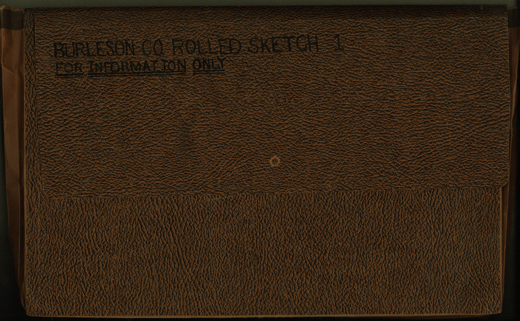
Burleson County Rolled Sketch 1
Burleson County Improvement District Number 1 (Levee)
-
Map/Doc
43342
-
Collection
General Map Collection
-
Object Dates
1994/3/1 (File Date)
-
Counties
Burleson
-
Subjects
Surveying Rolled Sketch
-
Height x Width
10.2 x 16.5 inches
25.9 x 41.9 cm
-
Medium
multi-page, multi-format
-
Comments
Filed for information only. Also see School File 154542 items 1 and 2.
Part of: General Map Collection
Map of San Jacinto County


Print $20.00
- Digital $50.00
Map of San Jacinto County
1872
Size 22.0 x 18.6 inches
Map/Doc 1346
Presidio County Working Sketch 54

Print $20.00
- Digital $50.00
Presidio County Working Sketch 54
1955
Size 26.0 x 20.8 inches
Map/Doc 71731
Concho County Rolled Sketch 21

Print $20.00
- Digital $50.00
Concho County Rolled Sketch 21
1969
Size 38.3 x 43.5 inches
Map/Doc 8666
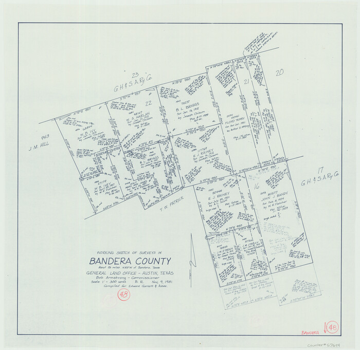
Bandera County Working Sketch 48

Print $20.00
- Digital $50.00
Bandera County Working Sketch 48
1981
Size 21.0 x 21.6 inches
Map/Doc 67644
Loving County Rolled Sketch 12


Print $20.00
- Digital $50.00
Loving County Rolled Sketch 12
Size 35.5 x 42.6 inches
Map/Doc 76418
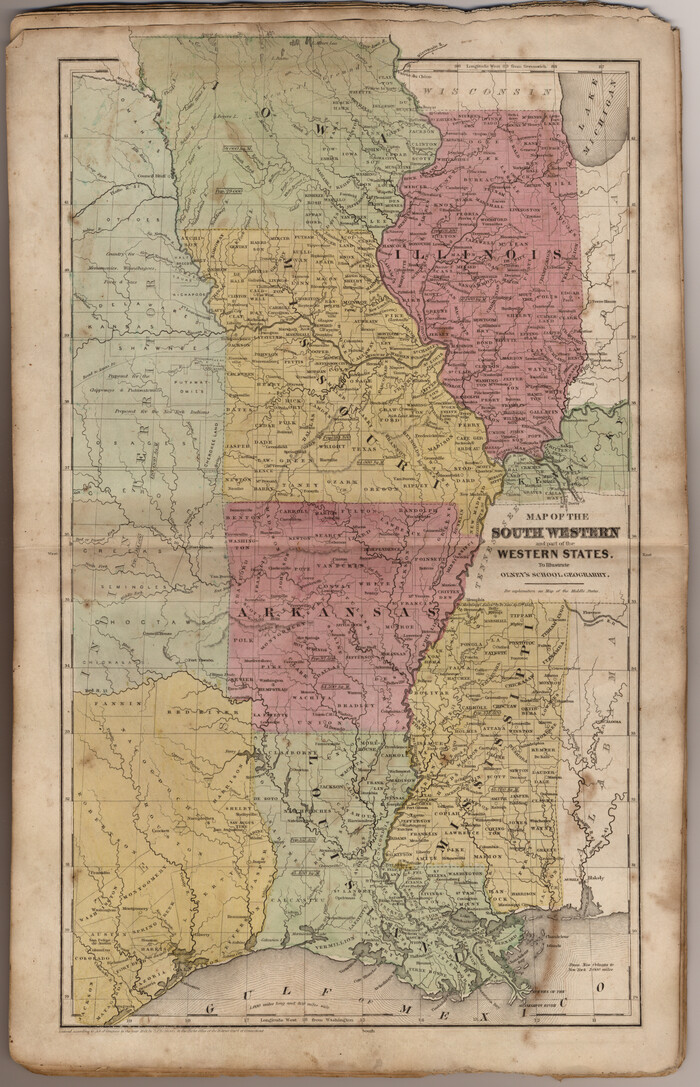
Map of the Southwestern and part of the Western States to illustrate Olney's school geography

Print $20.00
- Digital $50.00
Map of the Southwestern and part of the Western States to illustrate Olney's school geography
1844
Size 19.0 x 12.1 inches
Map/Doc 93541
Copy of Surveyor's Field Book, Morris Browning - In Blocks 7, 5 & 4, I&GNRRCo., Hutchinson and Carson Counties, Texas


Print $2.00
- Digital $50.00
Copy of Surveyor's Field Book, Morris Browning - In Blocks 7, 5 & 4, I&GNRRCo., Hutchinson and Carson Counties, Texas
1888
Size 6.9 x 8.9 inches
Map/Doc 62285
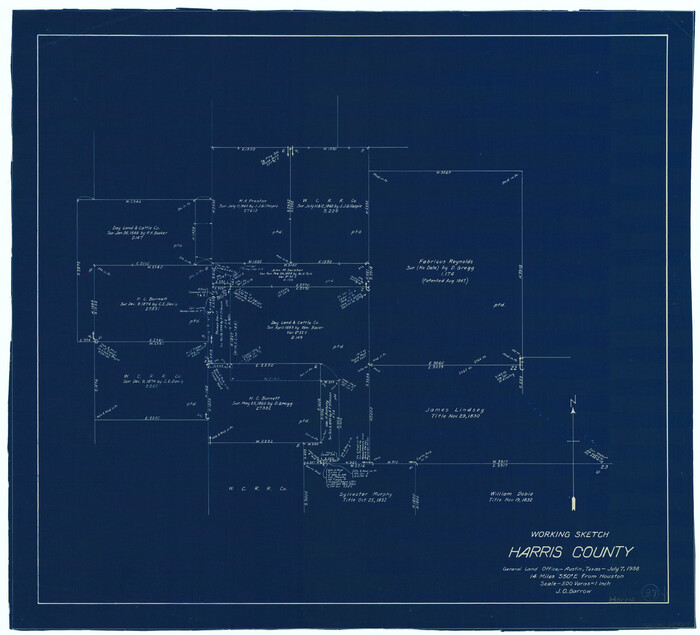
Harris County Working Sketch 37

Print $20.00
- Digital $50.00
Harris County Working Sketch 37
1938
Size 25.4 x 28.0 inches
Map/Doc 65929
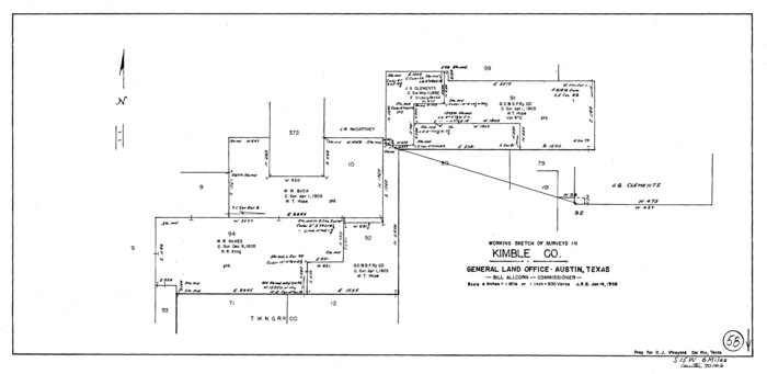
Kimble County Working Sketch 58

Print $20.00
- Digital $50.00
Kimble County Working Sketch 58
1959
Size 12.8 x 26.4 inches
Map/Doc 70126
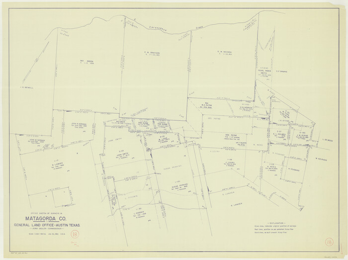
Matagorda County Working Sketch 18

Print $20.00
- Digital $50.00
Matagorda County Working Sketch 18
1961
Size 31.2 x 41.8 inches
Map/Doc 70876
Dallam County Sketch File 16


Print $28.00
- Digital $50.00
Dallam County Sketch File 16
1993
Size 11.5 x 8.7 inches
Map/Doc 20390
You may also like
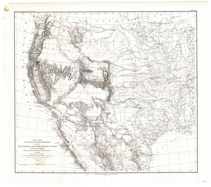
Map of the United States and their Territories between the Mississippi and the Pacific Ocean and part of Mexico

Print $20.00
- Digital $50.00
Map of the United States and their Territories between the Mississippi and the Pacific Ocean and part of Mexico
1858
Size 23.5 x 26.5 inches
Map/Doc 96526
Crockett County Rolled Sketch 90


Print $20.00
- Digital $50.00
Crockett County Rolled Sketch 90
1975
Size 25.4 x 37.3 inches
Map/Doc 5631
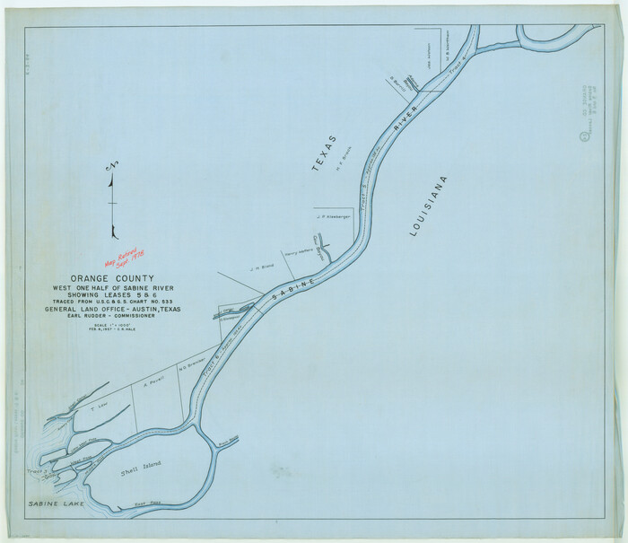
Orange County - West one half of Sabine River showing leases 5 & 6 traced from U. S. C. & G. S. chart no. 533

Print $20.00
- Digital $50.00
Orange County - West one half of Sabine River showing leases 5 & 6 traced from U. S. C. & G. S. chart no. 533
1957
Size 30.6 x 35.4 inches
Map/Doc 2899
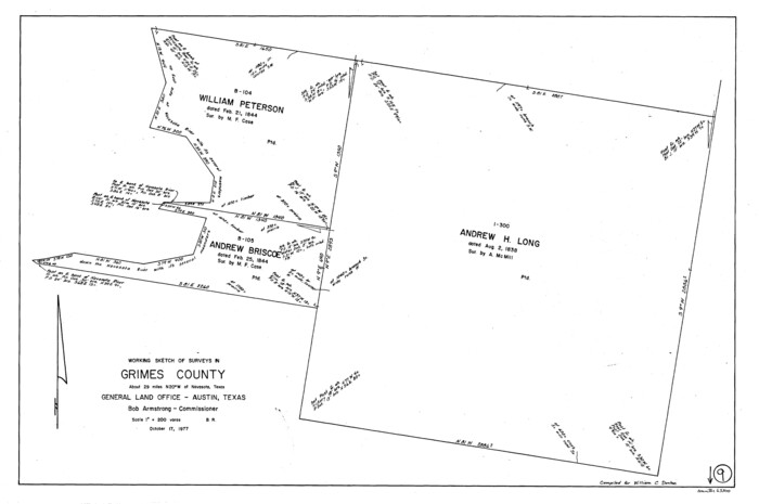
Grimes County Working Sketch 9

Print $20.00
- Digital $50.00
Grimes County Working Sketch 9
1977
Size 20.1 x 30.3 inches
Map/Doc 63300
El Paso County Working Sketch 6
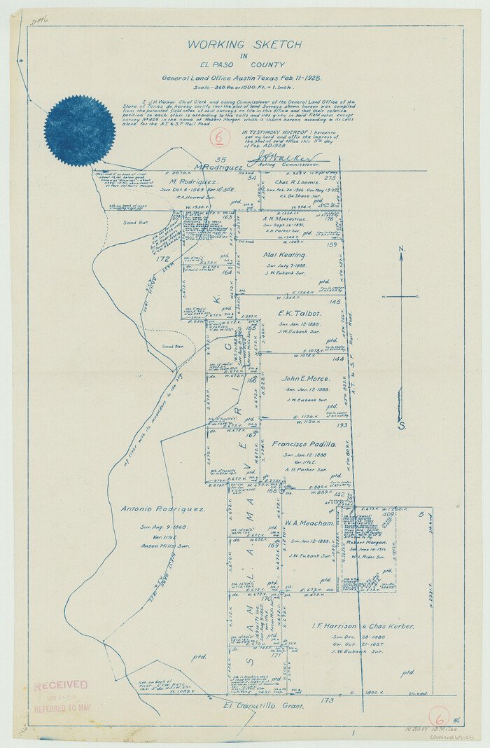

Print $20.00
- Digital $50.00
El Paso County Working Sketch 6
1928
Size 25.4 x 16.7 inches
Map/Doc 69028
Mapa de los Estados Unidos de Méjico, Segun lo organizado y definido por las varias actas del Congreso de dicha Republica: y construido por las mejores autoridades
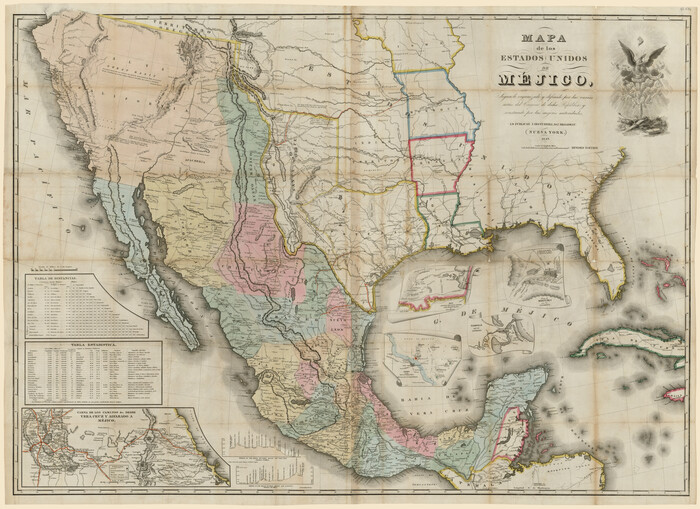

Print $20.00
- Digital $50.00
Mapa de los Estados Unidos de Méjico, Segun lo organizado y definido por las varias actas del Congreso de dicha Republica: y construido por las mejores autoridades
1847
Size 31.2 x 42.9 inches
Map/Doc 93763
Live Oak County Working Sketch 24


Print $20.00
- Digital $50.00
Live Oak County Working Sketch 24
1978
Size 31.9 x 38.2 inches
Map/Doc 70609
Burnet County Working Sketch 5
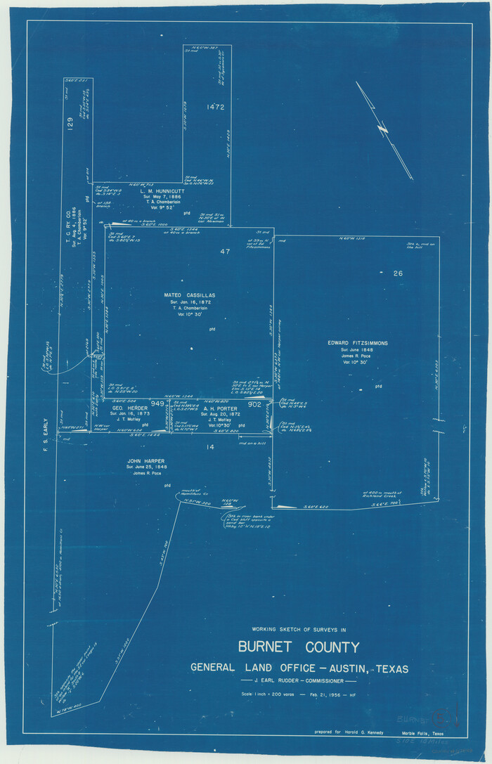

Print $20.00
- Digital $50.00
Burnet County Working Sketch 5
1956
Size 30.0 x 19.3 inches
Map/Doc 67848
Eastland County Working Sketch 52
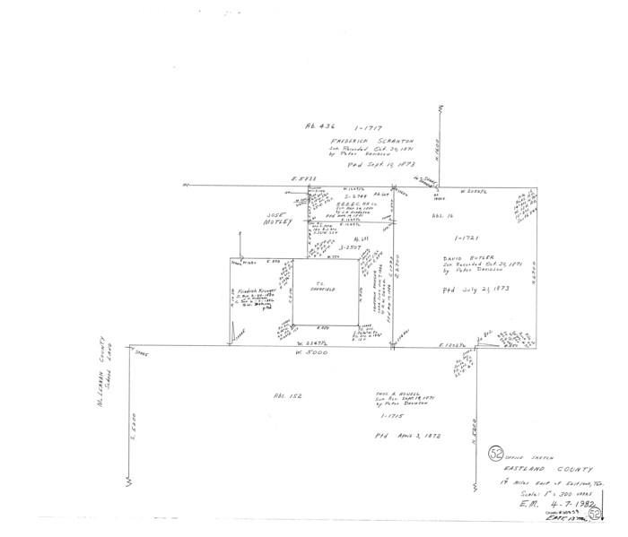

Print $20.00
- Digital $50.00
Eastland County Working Sketch 52
1982
Size 25.7 x 30.0 inches
Map/Doc 68833
Sabine Pass, Texas


Print $40.00
- Digital $50.00
Sabine Pass, Texas
1874
Size 32.2 x 53.2 inches
Map/Doc 69837
Castro County Working Sketch 2


Print $20.00
- Digital $50.00
Castro County Working Sketch 2
Size 30.4 x 26.2 inches
Map/Doc 67897
Burleson County Working Sketch 28
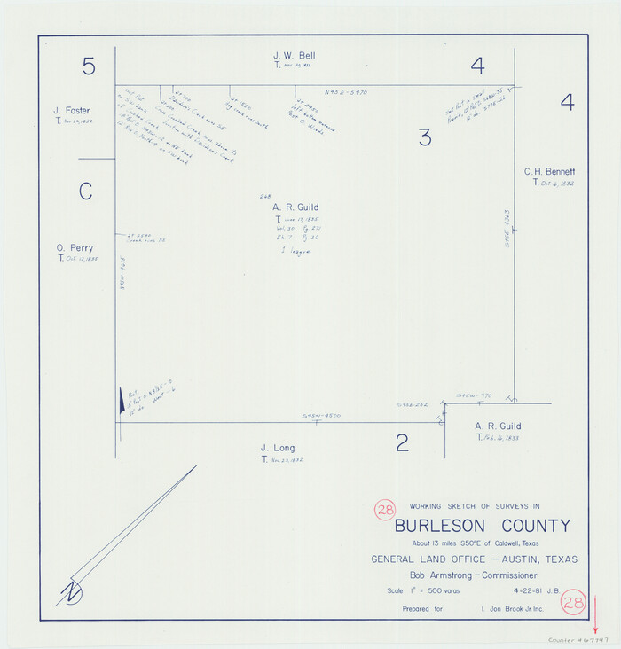

Print $20.00
- Digital $50.00
Burleson County Working Sketch 28
1981
Size 17.8 x 17.0 inches
Map/Doc 67747
