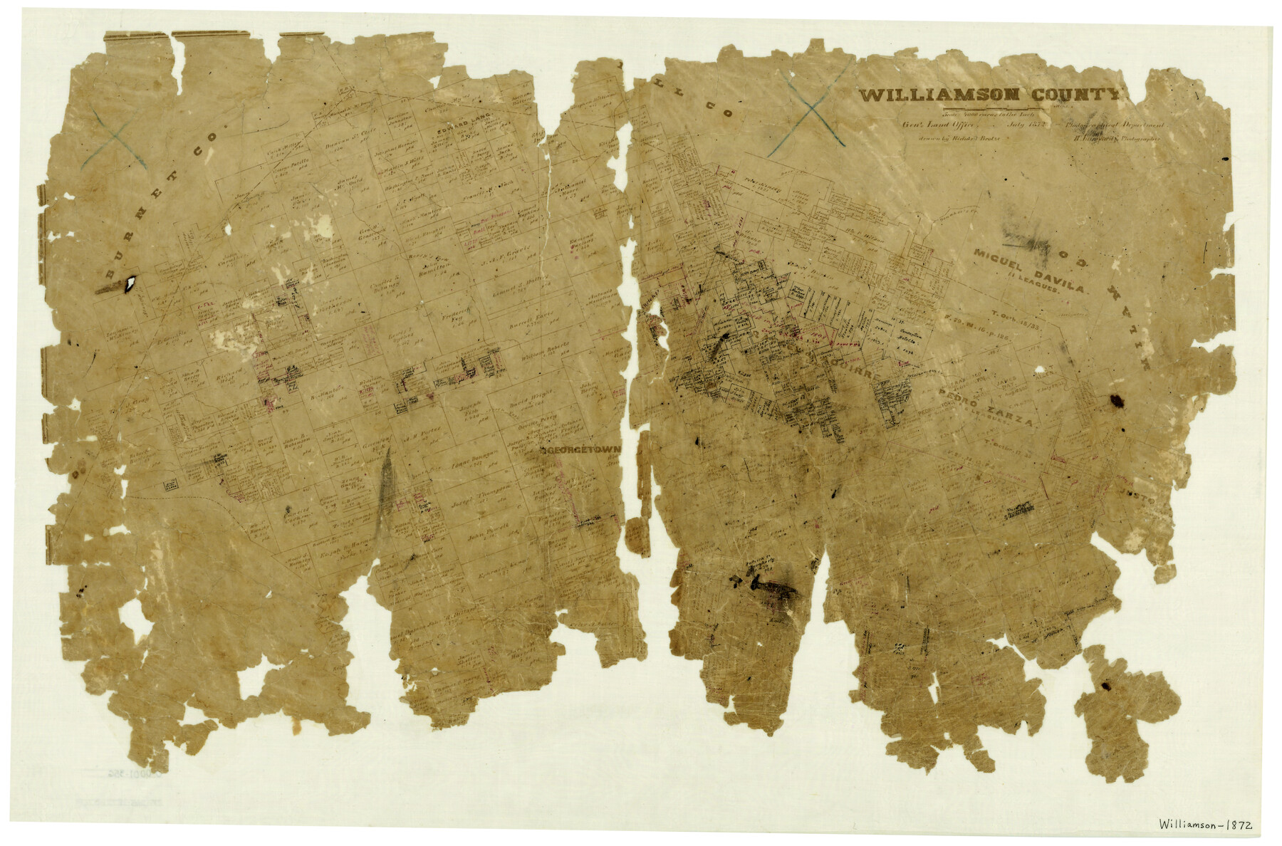
Williamson County
-
Map/Doc
4151
-
Collection
General Map Collection
-
Object Dates
7/1872 (Creation Date)
-
People and Organizations
Herman Lungkwitz (Draftsman)
Richard Brotze (Draftsman)
-
Counties
Williamson
-
Subjects
County
-
Height x Width
18.4 x 28.2 inches
46.7 x 71.6 cm
-
Features
Darr's Creek
Salado River
Berry's Fork [of San Gabriel River]
Indian Creek
Donahoe's Creek
Alligator Creek
North Fork of San Gabriel River
Georgetown
San Gabriel River
South Fork of San Gabriel River
Mustang Creek
Brushy Creek
Williamson Creek
Turkey Creek
Part of: General Map Collection
Map of the country adjacent to the left bank of the Rio Grande below Matamoros surveyed under instructions of Col. J.J. Abert, Corps. Top. Engrs.

Print $20.00
- Digital $50.00
Map of the country adjacent to the left bank of the Rio Grande below Matamoros surveyed under instructions of Col. J.J. Abert, Corps. Top. Engrs.
Size 27.0 x 20.9 inches
Map/Doc 95177
Colorado County Sketch File 8

Print $4.00
- Digital $50.00
Colorado County Sketch File 8
1861
Size 12.4 x 8.5 inches
Map/Doc 18927
Flight Mission No. DAG-17K, Frame 119, Matagorda County

Print $20.00
- Digital $50.00
Flight Mission No. DAG-17K, Frame 119, Matagorda County
1952
Size 16.4 x 16.5 inches
Map/Doc 86339
[Galveston, Harrisburg & San Antonio Railroad from Cuero to Stockdale]
![64193, [Galveston, Harrisburg & San Antonio Railroad from Cuero to Stockdale], General Map Collection](https://historictexasmaps.com/wmedia_w700/maps/64193.tif.jpg)
Print $20.00
- Digital $50.00
[Galveston, Harrisburg & San Antonio Railroad from Cuero to Stockdale]
1907
Size 13.7 x 34.0 inches
Map/Doc 64193
International Boundary Line in the Rio Grande delineated in accordance with the Treaty of 1970 - (1982/1983 Aerial Photographs)

International Boundary Line in the Rio Grande delineated in accordance with the Treaty of 1970 - (1982/1983 Aerial Photographs)
1982
Map/Doc 74827
Pecos County Rolled Sketch 146B

Print $20.00
- Digital $50.00
Pecos County Rolled Sketch 146B
Size 42.3 x 37.8 inches
Map/Doc 9742
Galveston Harbor, Texas - U.S. Harbor Lines - Galveston Harbor, Galveston Channel, Channel from Galveston Harbor to Texas City and Channel to Port Bolivar

Print $20.00
- Digital $50.00
Galveston Harbor, Texas - U.S. Harbor Lines - Galveston Harbor, Galveston Channel, Channel from Galveston Harbor to Texas City and Channel to Port Bolivar
1939
Size 39.4 x 26.7 inches
Map/Doc 73631
Map of the City of Austin

Print $20.00
- Digital $50.00
Map of the City of Austin
1876
Size 36.5 x 30.4 inches
Map/Doc 78477
Montague County Working Sketch 7

Print $20.00
- Digital $50.00
Montague County Working Sketch 7
1927
Size 41.1 x 28.4 inches
Map/Doc 75970
Hudspeth County Sketch File 10

Print $4.00
- Digital $50.00
Hudspeth County Sketch File 10
1900
Size 11.2 x 8.8 inches
Map/Doc 26899
Flight Mission No. CGI-3N, Frame 42, Cameron County

Print $20.00
- Digital $50.00
Flight Mission No. CGI-3N, Frame 42, Cameron County
1954
Size 18.5 x 22.1 inches
Map/Doc 84548
Pecos County Sketch File 14A

Print $20.00
- Digital $50.00
Pecos County Sketch File 14A
Size 33.7 x 23.0 inches
Map/Doc 12158
You may also like
[Potter County Blocks 25, P&Mc, O18, G&M2]
![93215, [Potter County Blocks 25, P&Mc, O18, G&M2], Twichell Survey Records](https://historictexasmaps.com/wmedia_w700/maps/93215-1.tif.jpg)
Print $20.00
- Digital $50.00
[Potter County Blocks 25, P&Mc, O18, G&M2]
Size 28.7 x 19.2 inches
Map/Doc 93215
Tarrant County Sketch File 23

Print $4.00
- Digital $50.00
Tarrant County Sketch File 23
Size 6.1 x 8.2 inches
Map/Doc 37733
[Map of Henderson County]
![76767, [Map of Henderson County], General Map Collection](https://historictexasmaps.com/wmedia_w700/maps/76767.tif.jpg)
Print $20.00
- Digital $50.00
[Map of Henderson County]
1854
Size 29.7 x 22.0 inches
Map/Doc 76767
[H. &GN Blk. 2, HGN Blk. 1, I, S]
![93212, [H. &GN Blk. 2, HGN Blk. 1, I, S], Twichell Survey Records](https://historictexasmaps.com/wmedia_w700/maps/93212-1.tif.jpg)
Print $40.00
- Digital $50.00
[H. &GN Blk. 2, HGN Blk. 1, I, S]
Size 84.0 x 53.3 inches
Map/Doc 93212
Sutton County Working Sketch 8

Print $20.00
- Digital $50.00
Sutton County Working Sketch 8
Size 14.2 x 21.6 inches
Map/Doc 62351
Red River County Working Sketch 49

Print $20.00
- Digital $50.00
Red River County Working Sketch 49
1970
Size 31.3 x 21.5 inches
Map/Doc 72032
[St. Louis & Southwestern]
![64281, [St. Louis & Southwestern], General Map Collection](https://historictexasmaps.com/wmedia_w700/maps/64281.tif.jpg)
Print $20.00
- Digital $50.00
[St. Louis & Southwestern]
Size 20.9 x 29.0 inches
Map/Doc 64281
[Block Y, Walker County School Land, and vicinity]
![92536, [Block Y, Walker County School Land, and vicinity], Twichell Survey Records](https://historictexasmaps.com/wmedia_w700/maps/92536-1.tif.jpg)
Print $20.00
- Digital $50.00
[Block Y, Walker County School Land, and vicinity]
Size 23.3 x 24.8 inches
Map/Doc 92536
Callahan County Sketch File 9

Print $40.00
- Digital $50.00
Callahan County Sketch File 9
1880
Size 16.8 x 14.3 inches
Map/Doc 35871
Flight Mission No. CRC-4R, Frame 149, Chambers County

Print $20.00
- Digital $50.00
Flight Mission No. CRC-4R, Frame 149, Chambers County
1956
Size 18.7 x 22.4 inches
Map/Doc 84912
Nueces County Sketch File 29

Print $40.00
- Digital $50.00
Nueces County Sketch File 29
1907
Size 17.2 x 14.2 inches
Map/Doc 32598
