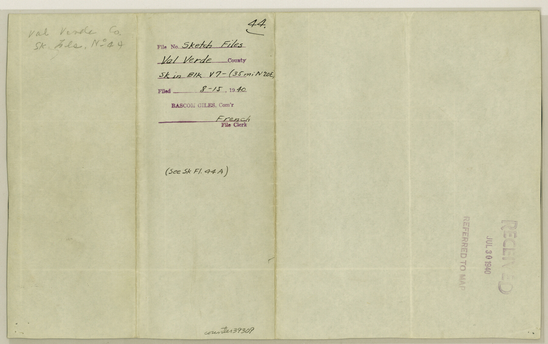
Val Verde County Sketch File 44
[Sketch of surveys in Block V7, near the boundary with Edwards County - east part of Lee Whitehead Dunbar Ranch]
-
Map/Doc
39309
-
Collection
General Map Collection
-
Object Dates
7/26/1940 (Creation Date)
8/15/1940 (File Date)
11/1 and 11/2/1939 (Survey Date)
-
People and Organizations
H. Conger Jones (Surveyor/Engineer)
-
Counties
Val Verde Edwards
-
Subjects
Surveying Sketch File
-
Height x Width
9.0 x 14.2 inches
22.9 x 36.1 cm
-
Medium
blueprint/diazo
-
Scale
1" = 500 varas
-
Comments
See Val Verde County Sketch File 44A (39311) for report.
-
Features
Lee Whitehead Dunbar Ranch
Related maps
Val Verde County Sketch File 44A

Print $10.00
- Digital $50.00
Val Verde County Sketch File 44A
1940
Size 14.5 x 8.8 inches
Map/Doc 39311
Part of: General Map Collection
Coke County Sketch File 33

Print $20.00
- Digital $50.00
Coke County Sketch File 33
Size 22.0 x 26.6 inches
Map/Doc 11115
[G. C. & S. F. Ry., San Saba Branch, Right of Way Map, Brady to Melvin]
![61421, [G. C. & S. F. Ry., San Saba Branch, Right of Way Map, Brady to Melvin], General Map Collection](https://historictexasmaps.com/wmedia_w700/maps/61421.tif.jpg)
Print $40.00
- Digital $50.00
[G. C. & S. F. Ry., San Saba Branch, Right of Way Map, Brady to Melvin]
1916
Size 37.7 x 121.5 inches
Map/Doc 61421
Gaines County Rolled Sketch 35

Print $20.00
- Digital $50.00
Gaines County Rolled Sketch 35
2014
Size 18.7 x 25.9 inches
Map/Doc 93695
Bell County Sketch File 20

Print $4.00
- Digital $50.00
Bell County Sketch File 20
1855
Size 9.0 x 7.9 inches
Map/Doc 14406
Rusk County Sketch File 32

Print $20.00
Rusk County Sketch File 32
1949
Size 33.5 x 28.4 inches
Map/Doc 10596
Red River County Working Sketch 81-2

Print $20.00
- Digital $50.00
Red River County Working Sketch 81-2
1987
Size 14.6 x 18.6 inches
Map/Doc 72065
Flight Mission No. DQO-8K, Frame 54, Galveston County

Print $20.00
- Digital $50.00
Flight Mission No. DQO-8K, Frame 54, Galveston County
1952
Size 18.5 x 22.2 inches
Map/Doc 85161
Webb County Sketch File 14

Print $7.00
- Digital $50.00
Webb County Sketch File 14
1877
Size 10.0 x 8.2 inches
Map/Doc 39807
Brewster County Sketch File NS-2

Print $14.00
- Digital $50.00
Brewster County Sketch File NS-2
1913
Size 14.3 x 8.8 inches
Map/Doc 15946
Crockett County Sketch File 21

Print $18.00
- Digital $50.00
Crockett County Sketch File 21
Size 13.6 x 8.4 inches
Map/Doc 19682
Hutchinson County Working Sketch 18

Print $20.00
- Digital $50.00
Hutchinson County Working Sketch 18
1956
Size 31.4 x 18.3 inches
Map/Doc 66378
Harris County Working Sketch 30

Print $20.00
- Digital $50.00
Harris County Working Sketch 30
1935
Size 25.9 x 28.0 inches
Map/Doc 65922
You may also like
Gaines County Rolled Sketch 15

Print $40.00
- Digital $50.00
Gaines County Rolled Sketch 15
Size 73.5 x 23.4 inches
Map/Doc 9035
State of Texas

Print $40.00
- Digital $50.00
State of Texas
1965
Size 42.8 x 52.5 inches
Map/Doc 2095
Flight Mission No. BRE-3P, Frame 79, Nueces County

Print $20.00
- Digital $50.00
Flight Mission No. BRE-3P, Frame 79, Nueces County
1956
Size 18.6 x 22.5 inches
Map/Doc 86820

Galveston County Rolled Sketch 22

Print $20.00
- Digital $50.00
Galveston County Rolled Sketch 22
1953
Size 29.6 x 40.8 inches
Map/Doc 9083
Aransas County Rolled Sketch 1

Print $40.00
- Digital $50.00
Aransas County Rolled Sketch 1
1930
Size 12.5 x 50.0 inches
Map/Doc 8915
Resurvey of Block K-3

Print $20.00
- Digital $50.00
Resurvey of Block K-3
1913
Size 17.0 x 19.0 inches
Map/Doc 90540
Political Chief of Nacogdoches Correspondence with Various People (PCCVP)

Political Chief of Nacogdoches Correspondence with Various People (PCCVP)
Size 12.5 x 9.0 inches
Map/Doc 94264
Edwards County Rolled Sketch ECS

Print $20.00
- Digital $50.00
Edwards County Rolled Sketch ECS
1937
Size 24.8 x 38.2 inches
Map/Doc 5817
San Jacinto River, Buff Lake Sheet 2/Caney Creek

Print $4.00
- Digital $50.00
San Jacinto River, Buff Lake Sheet 2/Caney Creek
1937
Size 24.1 x 24.7 inches
Map/Doc 65148
Travis County State Real Property Sketch 13

Print $26.00
- Digital $50.00
Travis County State Real Property Sketch 13
2006
Size 35.3 x 24.1 inches
Map/Doc 88620
Fisher County Rolled Sketch 4

Print $20.00
- Digital $50.00
Fisher County Rolled Sketch 4
Size 32.4 x 37.5 inches
Map/Doc 8888