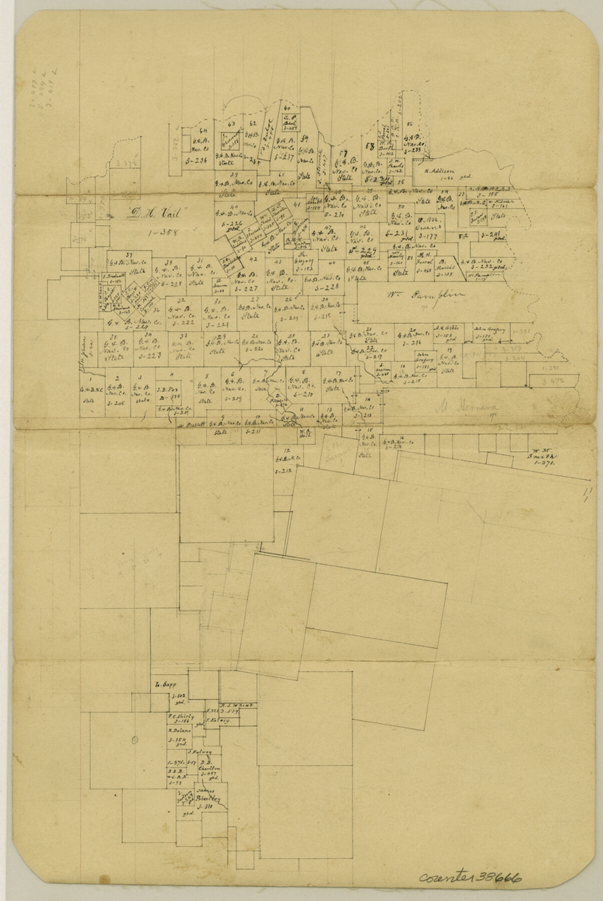
Tyler County Sketch File 17b
[Office sketch of surveys in the north part of the county]
-
Map/Doc
38666
-
Collection
General Map Collection
-
Counties
Tyler
-
Subjects
Surveying Sketch File
-
Height x Width
12.0 x 8.0 inches
30.5 x 20.3 cm
-
Medium
paper, manuscript
Part of: General Map Collection
Runnels County Rolled Sketch A

Print $20.00
- Digital $50.00
Runnels County Rolled Sketch A
1891
Size 13.4 x 15.0 inches
Map/Doc 7539
Johnson County Working Sketch 24

Print $20.00
- Digital $50.00
Johnson County Working Sketch 24
1996
Size 47.5 x 34.5 inches
Map/Doc 66637
Baylor County Boundary File 7

Print $6.00
- Digital $50.00
Baylor County Boundary File 7
Size 11.2 x 8.8 inches
Map/Doc 50403
Terrell County Working Sketch 77

Print $20.00
- Digital $50.00
Terrell County Working Sketch 77
1983
Size 22.9 x 33.7 inches
Map/Doc 69598
Map of Stephens County

Print $20.00
- Digital $50.00
Map of Stephens County
1897
Size 43.0 x 37.3 inches
Map/Doc 78395
A How to Get From Here to There Map and Water Too of Metropolitan Houston

A How to Get From Here to There Map and Water Too of Metropolitan Houston
Size 36.7 x 25.5 inches
Map/Doc 94362
Kimble County Working Sketch 11

Print $20.00
- Digital $50.00
Kimble County Working Sketch 11
1921
Size 19.0 x 25.1 inches
Map/Doc 70079
Hardin County Rolled Sketch MH

Print $21.00
- Digital $50.00
Hardin County Rolled Sketch MH
1936
Size 10.1 x 15.2 inches
Map/Doc 45760
Red River County Working Sketch 65

Print $20.00
- Digital $50.00
Red River County Working Sketch 65
1973
Size 29.1 x 24.2 inches
Map/Doc 72048
Travis County Appraisal District Plat Map 2_0803

Print $20.00
- Digital $50.00
Travis County Appraisal District Plat Map 2_0803
Size 21.5 x 26.4 inches
Map/Doc 94239
Polk County Working Sketch 41

Print $20.00
- Digital $50.00
Polk County Working Sketch 41
1985
Size 26.3 x 27.8 inches
Map/Doc 71658
Post Route Map of the State of Texas with adjacent parts of Louisiana, Arkansas, Indian Territory, and of the Republic of Mexico showing post offices with the intermediate and mail routes in operation on the 1st of December, 1892

Print $40.00
- Digital $50.00
Post Route Map of the State of Texas with adjacent parts of Louisiana, Arkansas, Indian Territory, and of the Republic of Mexico showing post offices with the intermediate and mail routes in operation on the 1st of December, 1892
1889
Size 44.0 x 57.3 inches
Map/Doc 94080
You may also like

Bandera County Working Sketch 44

Print $20.00
- Digital $50.00
Bandera County Working Sketch 44
1980
Size 14.0 x 20.4 inches
Map/Doc 67640
Map of Llano County Showing Geology, Mineral Localities, Topography, etc.

Print $20.00
Map of Llano County Showing Geology, Mineral Localities, Topography, etc.
1875
Size 16.5 x 21.3 inches
Map/Doc 88969
Comal County Rolled Sketch 1

Print $20.00
- Digital $50.00
Comal County Rolled Sketch 1
1972
Size 24.2 x 19.6 inches
Map/Doc 5535
Liberty County Working Sketch 7

Print $20.00
- Digital $50.00
Liberty County Working Sketch 7
1906
Size 22.2 x 24.8 inches
Map/Doc 70466
Orange County Working Sketch 25

Print $20.00
- Digital $50.00
Orange County Working Sketch 25
1949
Size 30.7 x 32.6 inches
Map/Doc 71357
John Slaughter Ranch

Print $40.00
- Digital $50.00
John Slaughter Ranch
Size 38.0 x 52.7 inches
Map/Doc 89952
[Sketch of Blks. 2, 2B, 3B]
![89638, [Sketch of Blks. 2, 2B, 3B], Twichell Survey Records](https://historictexasmaps.com/wmedia_w700/maps/89638-1.tif.jpg)
Print $20.00
- Digital $50.00
[Sketch of Blks. 2, 2B, 3B]
1918
Size 38.0 x 33.2 inches
Map/Doc 89638
Flight Mission No. BRA-7M, Frame 120, Jefferson County

Print $20.00
- Digital $50.00
Flight Mission No. BRA-7M, Frame 120, Jefferson County
1953
Size 18.7 x 22.4 inches
Map/Doc 85514

Colorado County Sketch File 2

Print $4.00
- Digital $50.00
Colorado County Sketch File 2
Size 11.1 x 8.4 inches
Map/Doc 18911
Houston County Working Sketch 22

Print $20.00
- Digital $50.00
Houston County Working Sketch 22
1982
Size 31.2 x 44.1 inches
Map/Doc 66252