Map of Kerr County
-
Map/Doc
3760
-
Collection
General Map Collection
-
Object Dates
7/12/1864 (Creation Date)
-
People and Organizations
Robert Reichel (Draftsman)
-
Counties
Kerr
-
Subjects
County
-
Height x Width
14.8 x 17.9 inches
37.6 x 45.5 cm
-
Features
Bear Creek
Guadalupe River
Kerrville
Cypress Creek
Turtle Creek
Verde Creek
Camp Verde
Puerta de la Bandera
Cherry Creek
Jones Creek
Elm Creek
Kelley's Creek
North Branch [of Cypress Creek]
Part of: General Map Collection
Leon County Working Sketch 14
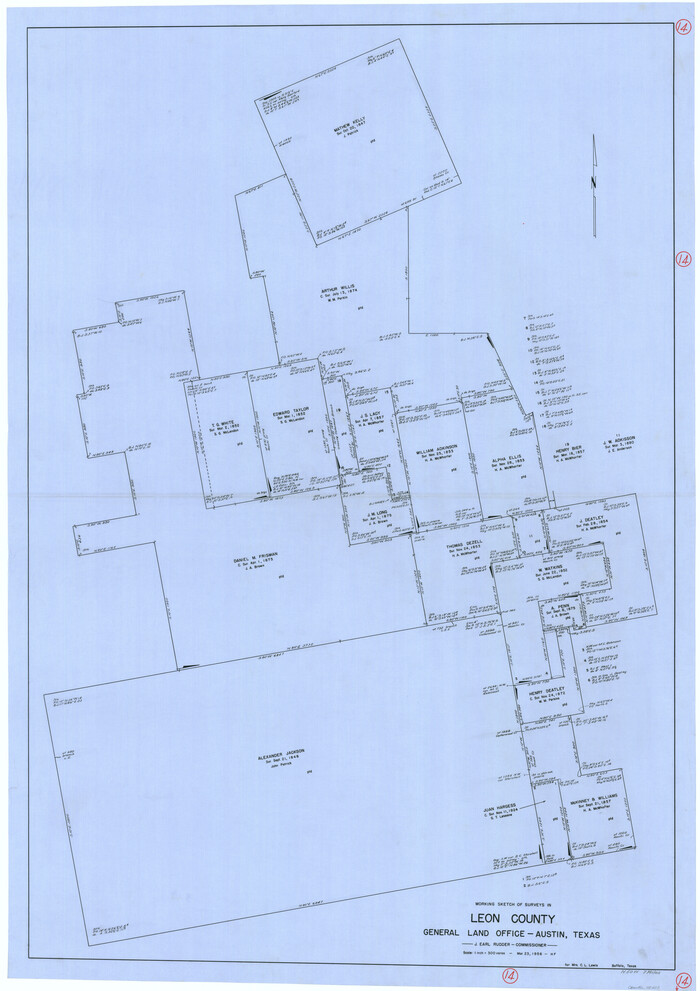

Print $40.00
- Digital $50.00
Leon County Working Sketch 14
1956
Size 48.8 x 34.5 inches
Map/Doc 70413
Zavala County Working Sketch 9
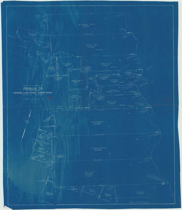

Print $20.00
- Digital $50.00
Zavala County Working Sketch 9
1951
Size 42.0 x 36.4 inches
Map/Doc 62084
Rusk County Sketch File 9
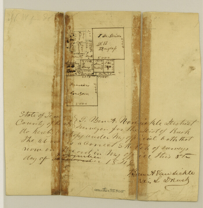

Print $4.00
Rusk County Sketch File 9
1849
Size 8.4 x 8.2 inches
Map/Doc 35505
Edwards County Working Sketch Graphic Index - east part - sheet 2
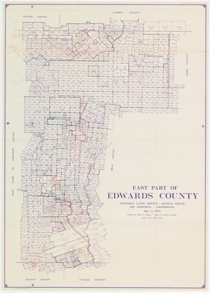

Print $40.00
- Digital $50.00
Edwards County Working Sketch Graphic Index - east part - sheet 2
1975
Size 54.7 x 39.8 inches
Map/Doc 76534
Van Zandt County Sketch File 5


Print $22.00
- Digital $50.00
Van Zandt County Sketch File 5
Size 20.5 x 6.3 inches
Map/Doc 39371
Presidio County Working Sketch 11


Print $20.00
- Digital $50.00
Presidio County Working Sketch 11
1941
Size 29.2 x 25.8 inches
Map/Doc 71686
Map of Nacogdoches County


Print $20.00
- Digital $50.00
Map of Nacogdoches County
1846
Size 43.8 x 39.2 inches
Map/Doc 87357
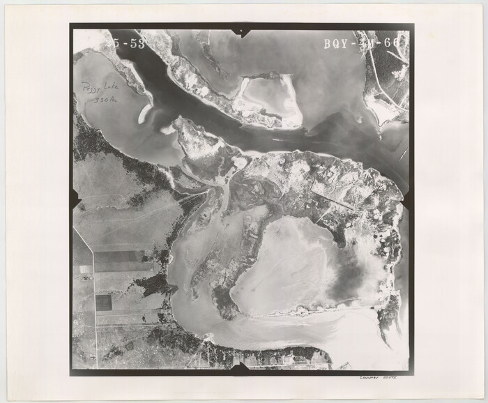
Flight Mission No. BQY-4M, Frame 66, Harris County

Print $20.00
- Digital $50.00
Flight Mission No. BQY-4M, Frame 66, Harris County
1953
Size 18.4 x 22.3 inches
Map/Doc 85275
Bosque County Sketch File 10

Print $4.00
- Digital $50.00
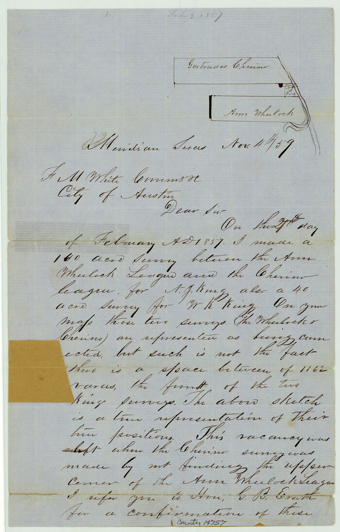
Bosque County Sketch File 10
1859
Size 12.9 x 8.2 inches
Map/Doc 14757
Palo Pinto County Working Sketch 7

Print $20.00
- Digital $50.00
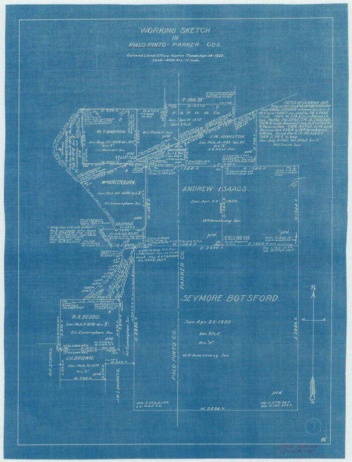
Palo Pinto County Working Sketch 7
1922
Map/Doc 71390
Refugio County Working Sketch 5


Print $20.00
- Digital $50.00
Refugio County Working Sketch 5
1938
Size 36.5 x 42.2 inches
Map/Doc 63514
You may also like
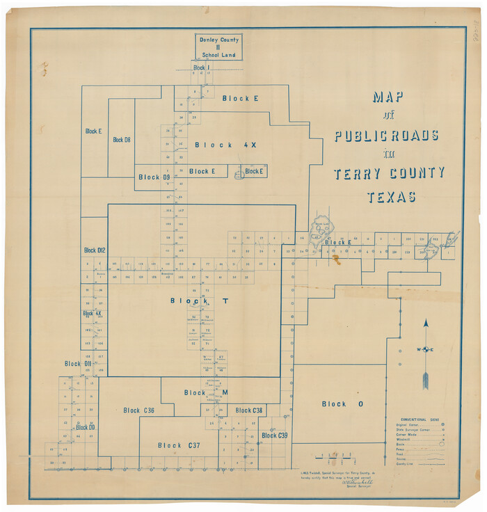
Map of Public Roads in Terry County, Texas

Print $20.00
- Digital $50.00
Map of Public Roads in Terry County, Texas
Size 34.0 x 36.1 inches
Map/Doc 91941
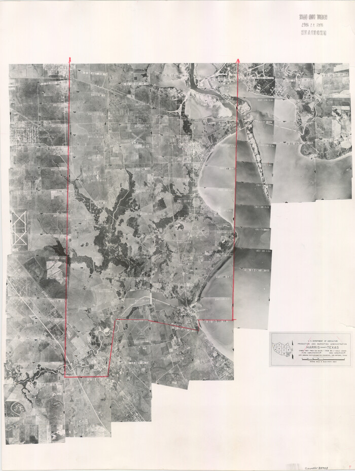
Harris County Aerial Photograph Index Sheet 9

Print $20.00
- Digital $50.00
Harris County Aerial Photograph Index Sheet 9
1953
Size 22.1 x 16.6 inches
Map/Doc 83703
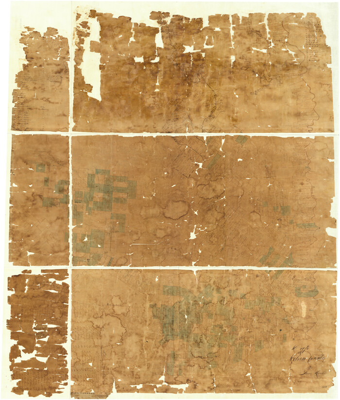
Map of Milam County

Print $40.00
- Digital $50.00
Map of Milam County
1839
Size 54.5 x 45.9 inches
Map/Doc 3881
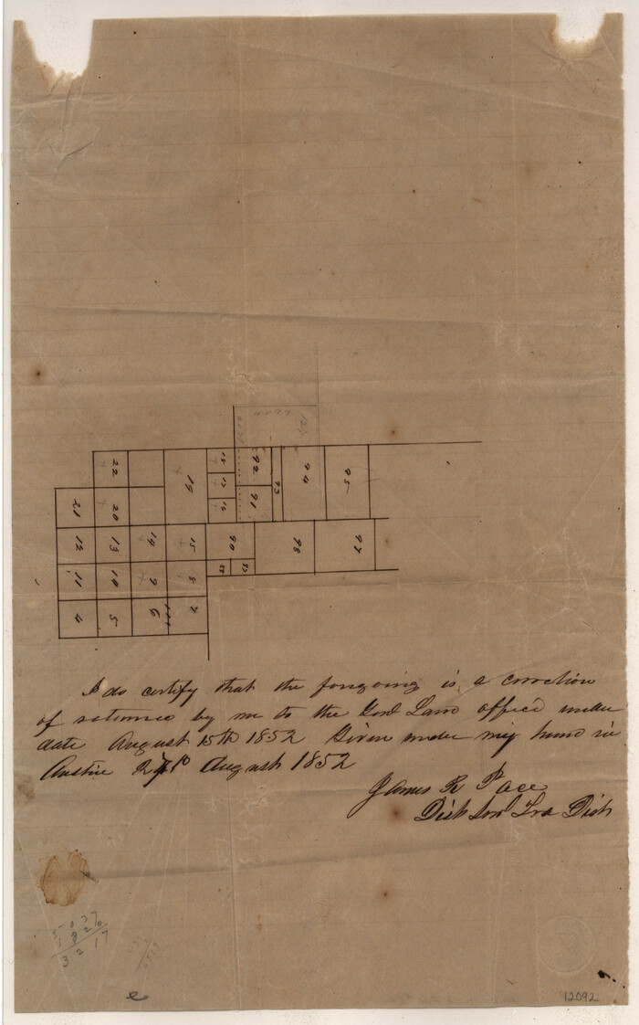
Mills County Sketch File 1A

Print $20.00
- Digital $50.00
Mills County Sketch File 1A
1852
Size 33.6 x 20.1 inches
Map/Doc 12092
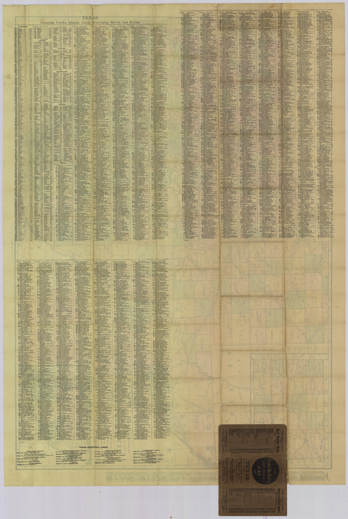
The Rand-McNally New Commercial Atlas Map of Texas

Print $20.00
The Rand-McNally New Commercial Atlas Map of Texas
1914
Size 42.7 x 28.6 inches
Map/Doc 78226
Trinity River, Onion Creek Station Sheet/Chambers Creek


Print $6.00
- Digital $50.00
Trinity River, Onion Creek Station Sheet/Chambers Creek
1931
Size 35.1 x 32.4 inches
Map/Doc 65234
Leon County Sketch File 30
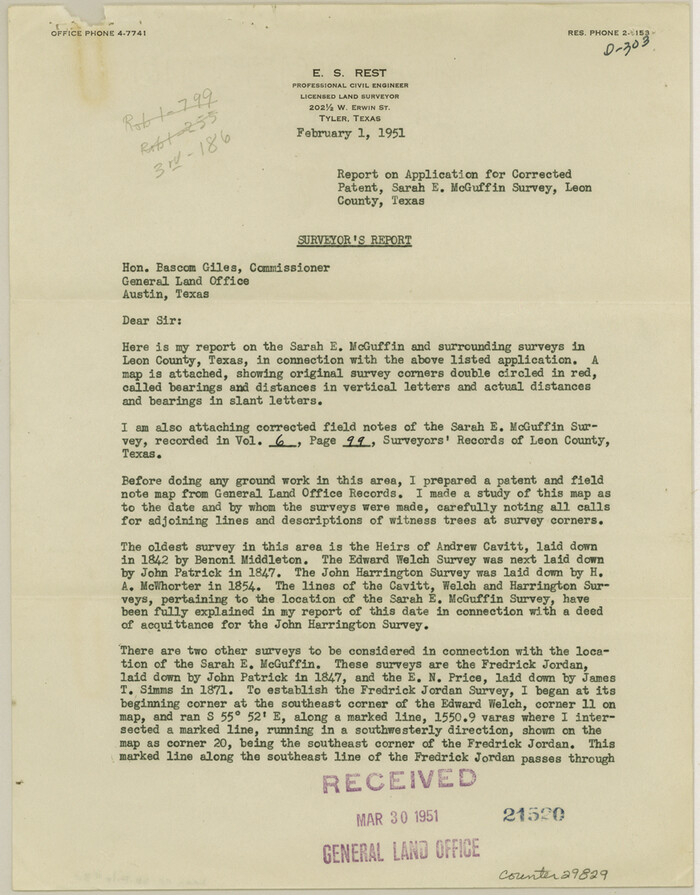

Print $6.00
- Digital $50.00
Leon County Sketch File 30
1951
Size 11.2 x 8.7 inches
Map/Doc 29829
Flight Mission No. CLL-1N, Frame 189, Willacy County
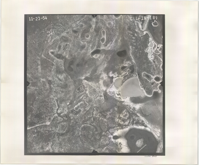

Print $20.00
- Digital $50.00
Flight Mission No. CLL-1N, Frame 189, Willacy County
1954
Size 18.2 x 22.0 inches
Map/Doc 87059
Flight Mission No. DCL-7C, Frame 70, Kenedy County


Print $20.00
- Digital $50.00
Flight Mission No. DCL-7C, Frame 70, Kenedy County
1943
Size 15.4 x 15.3 inches
Map/Doc 86056
Flight Mission No. DIX-8P, Frame 67, Aransas County
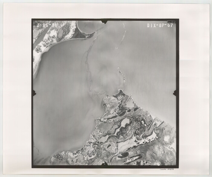

Print $20.00
- Digital $50.00
Flight Mission No. DIX-8P, Frame 67, Aransas County
1956
Size 18.7 x 22.4 inches
Map/Doc 83898
Howard County Boundary File 2
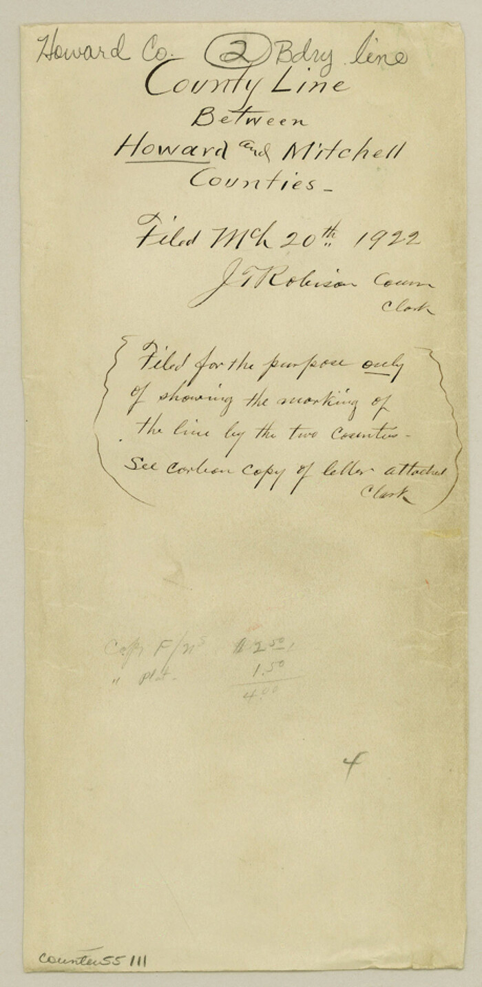

Print $14.00
- Digital $50.00
Howard County Boundary File 2
Size 9.4 x 4.6 inches
Map/Doc 55111


