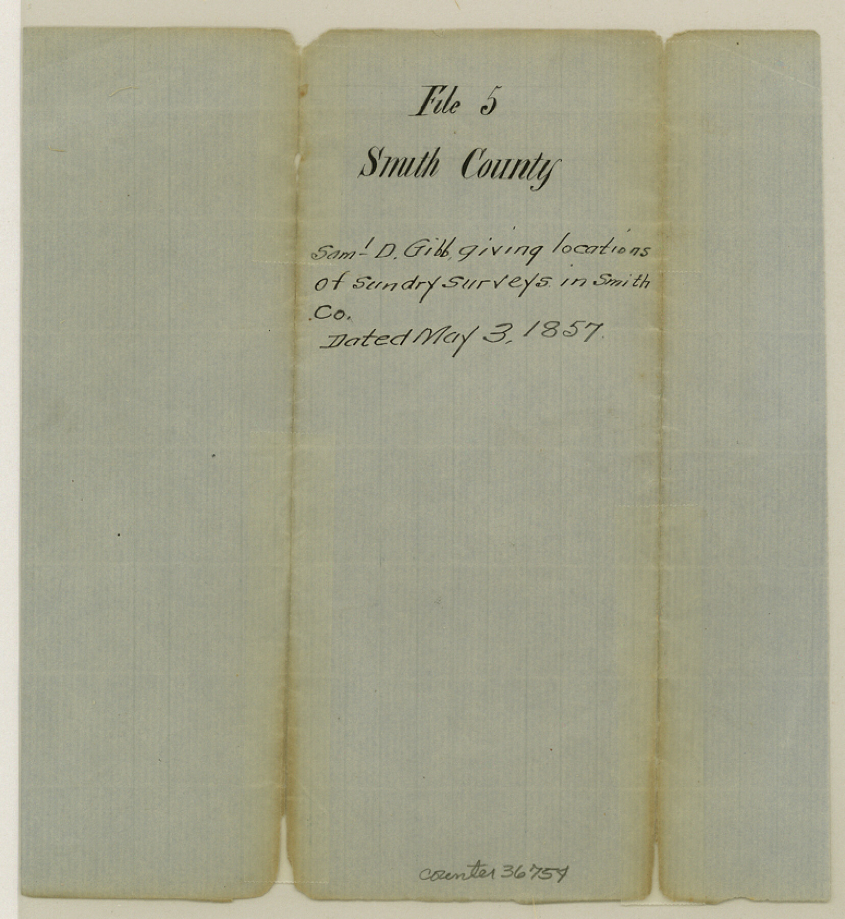
Smith County Sketch File 5
[Explanation regarding location of two different areas in the north half of Smith County]
-
Map/Doc
36754
-
Collection
General Map Collection
-
Object Dates
5/3/1857 (Creation Date)
-
People and Organizations
Samuel D. Gibbs (Surveyor/Engineer)
-
Counties
Smith
-
Subjects
Surveying Sketch File
-
Height x Width
8.4 x 7.8 inches
21.3 x 19.8 cm
-
Medium
paper, manuscript
-
Features
Cane Creek
Part of: General Map Collection
Map of Upton County

Print $20.00
- Digital $50.00
Map of Upton County
1899
Size 46.0 x 40.2 inches
Map/Doc 63087
Map of Leon County

Print $20.00
- Digital $50.00
Map of Leon County
1873
Size 26.2 x 21.9 inches
Map/Doc 3807
Medina County Working Sketch 23

Print $20.00
- Digital $50.00
Medina County Working Sketch 23
Size 43.8 x 43.1 inches
Map/Doc 70938
Controlled Mosaic by Jack Amman Photogrammetric Engineers, Inc - Sheet 41

Print $20.00
- Digital $50.00
Controlled Mosaic by Jack Amman Photogrammetric Engineers, Inc - Sheet 41
1954
Size 20.0 x 24.0 inches
Map/Doc 83497
Le Cours de Fleuve Missisipi, selon les relations les plus modernes

Print $20.00
- Digital $50.00
Le Cours de Fleuve Missisipi, selon les relations les plus modernes
1737
Size 16.4 x 19.3 inches
Map/Doc 94001
Gulf Oil Corp. Fishgide - Freeport

Gulf Oil Corp. Fishgide - Freeport
1960
Size 12.3 x 22.4 inches
Map/Doc 75978
Flight Mission No. BQR-13K, Frame 20, Brazoria County

Print $20.00
- Digital $50.00
Flight Mission No. BQR-13K, Frame 20, Brazoria County
1952
Size 18.9 x 22.5 inches
Map/Doc 84068
Val Verde County Sketch File 17

Print $12.00
- Digital $50.00
Val Verde County Sketch File 17
Size 12.9 x 8.1 inches
Map/Doc 39219
Garza County Sketch File 5

Print $14.00
- Digital $50.00
Garza County Sketch File 5
1885
Size 9.8 x 8.1 inches
Map/Doc 24050
Kimble County Sketch File 8

Print $14.00
- Digital $50.00
Kimble County Sketch File 8
1847
Size 7.7 x 7.0 inches
Map/Doc 28920
Edwards County Working Sketch 56

Print $20.00
- Digital $50.00
Edwards County Working Sketch 56
1952
Size 23.6 x 35.7 inches
Map/Doc 68932
Uvalde County Working Sketch 1

Print $20.00
- Digital $50.00
Uvalde County Working Sketch 1
1911
Size 27.3 x 21.0 inches
Map/Doc 72071
You may also like
General Highway Map. Detail of Cities and Towns in Dallas County, Texas [Dallas and vicinity]
![79068, General Highway Map. Detail of Cities and Towns in Dallas County, Texas [Dallas and vicinity], Texas State Library and Archives](https://historictexasmaps.com/wmedia_w700/maps/79068.tif.jpg)
Print $20.00
General Highway Map. Detail of Cities and Towns in Dallas County, Texas [Dallas and vicinity]
1936
Size 18.5 x 25.2 inches
Map/Doc 79068
Baffin and Alazan Bays, Cayo Infiernillo in Kenedy and Kleberg Counties, showing Subdivision for Mineral Development

Print $40.00
- Digital $50.00
Baffin and Alazan Bays, Cayo Infiernillo in Kenedy and Kleberg Counties, showing Subdivision for Mineral Development
1949
Size 33.0 x 52.4 inches
Map/Doc 1923
General Highway Map, Rusk County, Texas

Print $20.00
General Highway Map, Rusk County, Texas
1939
Size 24.7 x 18.2 inches
Map/Doc 79232
[Blks. B9, J, D19, John Walker]
![90482, [Blks. B9, J, D19, John Walker], Twichell Survey Records](https://historictexasmaps.com/wmedia_w700/maps/90482-1.tif.jpg)
Print $20.00
- Digital $50.00
[Blks. B9, J, D19, John Walker]
Size 27.8 x 15.9 inches
Map/Doc 90482
Presidio County Sketch File H

Print $4.00
- Digital $50.00
Presidio County Sketch File H
Size 5.8 x 9.6 inches
Map/Doc 34431
Brewster County Rolled Sketch 24F

Print $20.00
- Digital $50.00
Brewster County Rolled Sketch 24F
1910
Size 14.5 x 17.7 inches
Map/Doc 5213
Jeff Davis County Rolled Sketch 16

Print $20.00
- Digital $50.00
Jeff Davis County Rolled Sketch 16
Size 27.1 x 31.7 inches
Map/Doc 6369
Brazoria County Sketch File 28

Print $6.00
- Digital $50.00
Brazoria County Sketch File 28
1889
Size 8.8 x 14.2 inches
Map/Doc 15030
Duval County Working Sketch 11

Print $20.00
- Digital $50.00
Duval County Working Sketch 11
1937
Size 24.3 x 19.4 inches
Map/Doc 68724
Schleicher County Sketch File 36

Print $20.00
- Digital $50.00
Schleicher County Sketch File 36
1951
Size 15.2 x 21.7 inches
Map/Doc 12309
Morris County Rolled Sketch 2A

Print $20.00
- Digital $50.00
Morris County Rolled Sketch 2A
Size 22.7 x 17.6 inches
Map/Doc 10268
Hockley County Sketch File 12

Print $20.00
- Digital $50.00
Hockley County Sketch File 12
1902
Size 17.5 x 17.0 inches
Map/Doc 11772