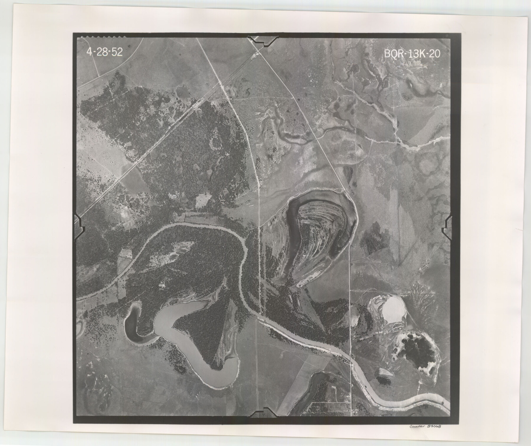
Flight Mission No. BQR-13K, Frame 20, Brazoria County
BQR-13K-20
-
Map/Doc
84068
-
Collection
General Map Collection
-
Object Dates
1952/4/28 (Creation Date)
-
People and Organizations
U. S. Department of Agriculture (Publisher)
-
Counties
Brazoria
-
Subjects
Aerial Photograph
-
Height x Width
18.9 x 22.5 inches
48.0 x 57.2 cm
-
Comments
Flown by Aero Exploration Company of Tulsa, Oklahoma.
Part of: General Map Collection
Medina County Working Sketch 15

Print $20.00
- Digital $50.00
Medina County Working Sketch 15
1974
Size 26.2 x 18.7 inches
Map/Doc 70930
Wilson County Rolled Sketch 1

Print $20.00
- Digital $50.00
Wilson County Rolled Sketch 1
1941
Size 31.5 x 27.1 inches
Map/Doc 8367
Coast Chart No. 211 - Padre I. and Laguna Madre Lat. 27° 12' to Lat. 26° 33' Texas

Print $20.00
- Digital $50.00
Coast Chart No. 211 - Padre I. and Laguna Madre Lat. 27° 12' to Lat. 26° 33' Texas
1890
Size 27.5 x 18.2 inches
Map/Doc 72822
Jefferson County Rolled Sketch 15

Print $147.00
- Digital $50.00
Jefferson County Rolled Sketch 15
1931
Size 10.0 x 15.2 inches
Map/Doc 46298
La Salle County Working Sketch 2

Print $20.00
- Digital $50.00
La Salle County Working Sketch 2
1886
Size 17.6 x 16.0 inches
Map/Doc 70303
Brazoria County Sketch File 59

Print $364.00
- Digital $50.00
Brazoria County Sketch File 59
1996
Size 14.9 x 8.3 inches
Map/Doc 15398
Liberty County Sketch File 18

Print $6.00
- Digital $50.00
Liberty County Sketch File 18
1859
Size 8.0 x 9.2 inches
Map/Doc 29920
Cherokee County Working Sketch 6

Print $20.00
- Digital $50.00
Cherokee County Working Sketch 6
1953
Size 40.9 x 35.1 inches
Map/Doc 67961
Henderson County Boundary File 3a

Print $30.00
- Digital $50.00
Henderson County Boundary File 3a
Size 14.4 x 8.9 inches
Map/Doc 54685
Edwards County Working Sketch 50

Print $20.00
- Digital $50.00
Edwards County Working Sketch 50
1950
Size 35.8 x 28.9 inches
Map/Doc 68926
Kleberg County Rolled Sketch 10-36

Print $20.00
- Digital $50.00
Kleberg County Rolled Sketch 10-36
1952
Size 35.3 x 30.7 inches
Map/Doc 9382
Menard County Working Sketch 9

Print $20.00
- Digital $50.00
Menard County Working Sketch 9
1937
Size 22.9 x 22.5 inches
Map/Doc 70956
You may also like
Pecos County Working Sketch 57

Print $20.00
- Digital $50.00
Pecos County Working Sketch 57
1949
Size 24.2 x 26.4 inches
Map/Doc 71529
United States Population Distribution by County and Territory, per the U.S. Census of 1870

United States Population Distribution by County and Territory, per the U.S. Census of 1870
2025
Size 8.5 x 11.0 inches
Map/Doc 97479
Controlled Mosaic by Jack Amman Photogrammetric Engineers, Inc - Sheet 11

Print $20.00
- Digital $50.00
Controlled Mosaic by Jack Amman Photogrammetric Engineers, Inc - Sheet 11
1954
Size 20.0 x 24.0 inches
Map/Doc 83455
A Topographical Map of the Government Tract adjoining the City of Austin

Print $20.00
- Digital $50.00
A Topographical Map of the Government Tract adjoining the City of Austin
1840
Size 41.9 x 37.8 inches
Map/Doc 2180
Trinity River, Terrell Sheet/Kings Creek

Print $20.00
- Digital $50.00
Trinity River, Terrell Sheet/Kings Creek
1930
Size 42.3 x 19.7 inches
Map/Doc 65229
Map of Europe designed to accompany Smith's Geography for Schools

Print $20.00
- Digital $50.00
Map of Europe designed to accompany Smith's Geography for Schools
1850
Size 9.8 x 12.1 inches
Map/Doc 93892
Flight Mission No. DQN-2K, Frame 159, Calhoun County

Print $20.00
- Digital $50.00
Flight Mission No. DQN-2K, Frame 159, Calhoun County
1953
Size 18.5 x 22.2 inches
Map/Doc 84321
Dimmit County Working Sketch Graphic Index - sheet A

Print $40.00
- Digital $50.00
Dimmit County Working Sketch Graphic Index - sheet A
1976
Size 42.0 x 49.7 inches
Map/Doc 76524
Calhoun County Rolled Sketch 36

Print $40.00
- Digital $50.00
Calhoun County Rolled Sketch 36
2003
Size 33.3 x 49.0 inches
Map/Doc 78655
Terrell County Rolled Sketch 14

Print $40.00
- Digital $50.00
Terrell County Rolled Sketch 14
Size 52.6 x 16.0 inches
Map/Doc 10309
[B. S. & F. Block 9]
![91812, [B. S. & F. Block 9], Twichell Survey Records](https://historictexasmaps.com/wmedia_w700/maps/91812-1.tif.jpg)
Print $20.00
- Digital $50.00
[B. S. & F. Block 9]
Size 38.0 x 18.6 inches
Map/Doc 91812
Hunt County Working Sketch 6

Print $20.00
- Digital $50.00
Hunt County Working Sketch 6
1942
Size 31.0 x 40.3 inches
Map/Doc 66353