[Blks. B9, J, D19, John Walker]
54-7
-
Map/Doc
90482
-
Collection
Twichell Survey Records
-
Counties
Crosby Lynn Lubbock Garza
-
Height x Width
27.8 x 15.9 inches
70.6 x 40.4 cm
Part of: Twichell Survey Records
[Worksheets related to the Wilson Strickland survey and vicinity]
![91265, [Vicinity and related to the Wilson Strickland Survey], Twichell Survey Records](https://historictexasmaps.com/wmedia_w700/maps/91265-1.tif.jpg)
![91265, [Vicinity and related to the Wilson Strickland Survey], Twichell Survey Records](https://historictexasmaps.com/wmedia_w700/maps/91265-1.tif.jpg)
Print $20.00
- Digital $50.00
[Worksheets related to the Wilson Strickland survey and vicinity]
Size 39.0 x 11.6 inches
Map/Doc 91265
[H. & T. C. RR. Company, Block 47 and vicinity]
![91158, [H. & T. C. RR. Company, Block 47 and vicinity], Twichell Survey Records](https://historictexasmaps.com/wmedia_w700/maps/91158-1.tif.jpg)
![91158, [H. & T. C. RR. Company, Block 47 and vicinity], Twichell Survey Records](https://historictexasmaps.com/wmedia_w700/maps/91158-1.tif.jpg)
Print $20.00
- Digital $50.00
[H. & T. C. RR. Company, Block 47 and vicinity]
Size 18.5 x 19.2 inches
Map/Doc 91158
[Parts of Blocks 33, 34, 35, and 36, Township 3 North]
![91288, [Parts of Blocks 33, 34, 35, and 36, Township 3 North], Twichell Survey Records](https://historictexasmaps.com/wmedia_w700/maps/91288-1.tif.jpg)
![91288, [Parts of Blocks 33, 34, 35, and 36, Township 3 North], Twichell Survey Records](https://historictexasmaps.com/wmedia_w700/maps/91288-1.tif.jpg)
Print $3.00
- Digital $50.00
[Parts of Blocks 33, 34, 35, and 36, Township 3 North]
Size 12.4 x 9.5 inches
Map/Doc 91288
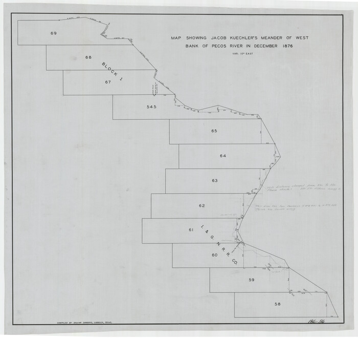
Map Showing Jacob Kuechler's Meander of West Bank of Pecos River in December 1876

Print $20.00
- Digital $50.00
Map Showing Jacob Kuechler's Meander of West Bank of Pecos River in December 1876
Size 18.6 x 17.4 inches
Map/Doc 91669
[Sketch showing Randall County School Land Leagues and Vicinity]
![89731, [Sketch showing Randall County School Land Leagues and Vicinity], Twichell Survey Records](https://historictexasmaps.com/wmedia_w700/maps/89731-1.tif.jpg)
![89731, [Sketch showing Randall County School Land Leagues and Vicinity], Twichell Survey Records](https://historictexasmaps.com/wmedia_w700/maps/89731-1.tif.jpg)
Print $40.00
- Digital $50.00
[Sketch showing Randall County School Land Leagues and Vicinity]
Size 22.6 x 52.4 inches
Map/Doc 89731
[Sketch showing Block M-3]
![91708, [Sketch showing Block M-3], Twichell Survey Records](https://historictexasmaps.com/wmedia_w700/maps/91708-1.tif.jpg)
![91708, [Sketch showing Block M-3], Twichell Survey Records](https://historictexasmaps.com/wmedia_w700/maps/91708-1.tif.jpg)
Print $20.00
- Digital $50.00
[Sketch showing Block M-3]
Size 7.0 x 21.2 inches
Map/Doc 91708
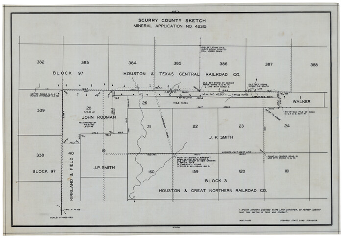
Scurry County Sketch Mineral Application No. 42315

Print $20.00
- Digital $50.00
Scurry County Sketch Mineral Application No. 42315
1950
Size 24.0 x 16.5 inches
Map/Doc 92965
Sketch in Dawson County, Texas


Print $3.00
- Digital $50.00
Sketch in Dawson County, Texas
1950
Size 9.5 x 12.8 inches
Map/Doc 92627
J. W. Kendrick Land, Crosby County, Texas


Print $20.00
- Digital $50.00
J. W. Kendrick Land, Crosby County, Texas
Size 42.8 x 33.7 inches
Map/Doc 92603
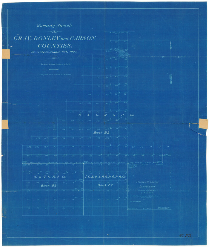
Working Sketch in Gray, Donley, and Carson Counties, Texas

Print $20.00
- Digital $50.00
Working Sketch in Gray, Donley, and Carson Counties, Texas
1909
Size 22.7 x 27.0 inches
Map/Doc 90779
Sketch of Resurvey, Township 5 North. Block 36. Texas and Pacific Railroad Company, Dawson County


Print $20.00
- Digital $50.00
Sketch of Resurvey, Township 5 North. Block 36. Texas and Pacific Railroad Company, Dawson County
1926
Size 24.6 x 25.0 inches
Map/Doc 92572
Map of Spearman Lands


Print $20.00
- Digital $50.00
Map of Spearman Lands
Size 20.4 x 15.6 inches
Map/Doc 90834
You may also like
Potter County Boundary File 3


Print $10.00
- Digital $50.00
Potter County Boundary File 3
Size 5.8 x 8.9 inches
Map/Doc 57974
Matagorda County Working Sketch 4


Print $20.00
- Digital $50.00
Matagorda County Working Sketch 4
1908
Size 33.1 x 32.0 inches
Map/Doc 70862
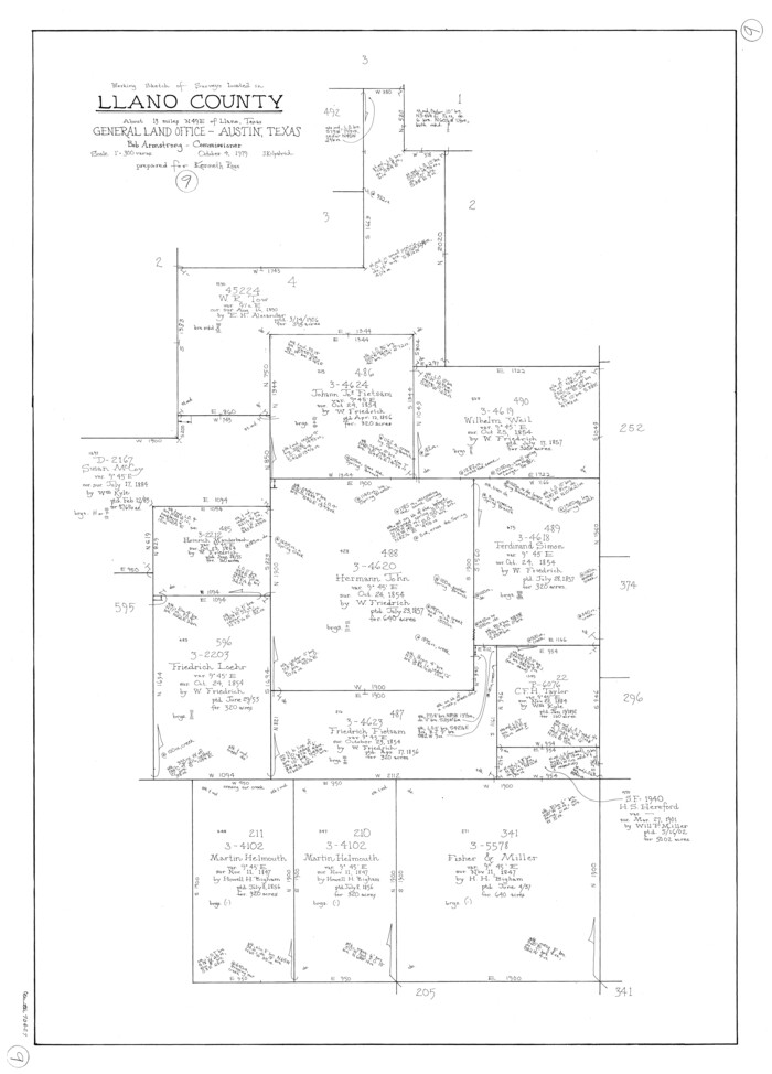
Llano County Working Sketch 9

Print $20.00
- Digital $50.00
Llano County Working Sketch 9
1979
Size 33.4 x 24.0 inches
Map/Doc 70627
Dickens County Sketch File 3
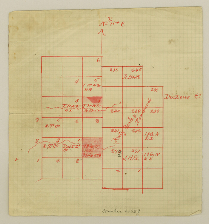

Print $6.00
- Digital $50.00
Dickens County Sketch File 3
1880
Size 6.9 x 6.4 inches
Map/Doc 20959
[E. L. & R. R. RR. Co. Blocks 9 and 10 and surveys to the east]
![90857, [E. L. & R. R. RR. Co. Blocks 9 and 10 and surveys to the east], Twichell Survey Records](https://historictexasmaps.com/wmedia_w700/maps/90857-2.tif.jpg)
![90857, [E. L. & R. R. RR. Co. Blocks 9 and 10 and surveys to the east], Twichell Survey Records](https://historictexasmaps.com/wmedia_w700/maps/90857-2.tif.jpg)
Print $20.00
- Digital $50.00
[E. L. & R. R. RR. Co. Blocks 9 and 10 and surveys to the east]
1903
Size 13.4 x 19.0 inches
Map/Doc 90857
Flight Mission No. CUG-3P, Frame 17, Kleberg County


Print $20.00
- Digital $50.00
Flight Mission No. CUG-3P, Frame 17, Kleberg County
1956
Size 18.6 x 22.3 inches
Map/Doc 86227
Brewster County Sketch File 43

Print $4.00
- Digital $50.00
Brewster County Sketch File 43
Size 8.8 x 11.3 inches
Map/Doc 16309
Grayson County
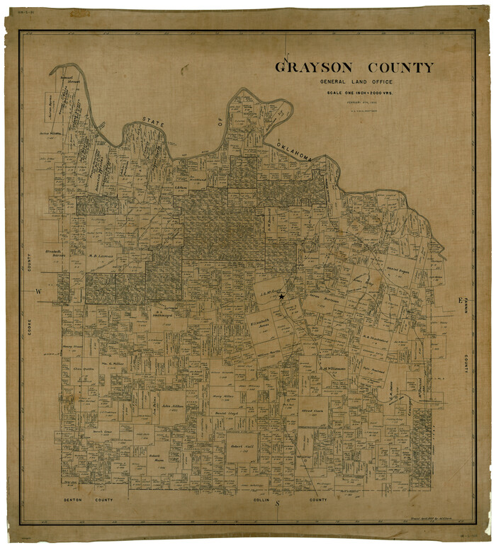

Print $20.00
- Digital $50.00
Grayson County
1935
Size 45.9 x 41.2 inches
Map/Doc 1844
San Patricio County Sketch File 39
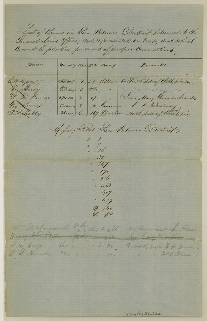

Print $8.00
- Digital $50.00
San Patricio County Sketch File 39
Size 12.9 x 8.4 inches
Map/Doc 36232
Cooke County Working Sketch 37


Print $20.00
- Digital $50.00
Cooke County Working Sketch 37
1995
Size 21.7 x 18.9 inches
Map/Doc 68274
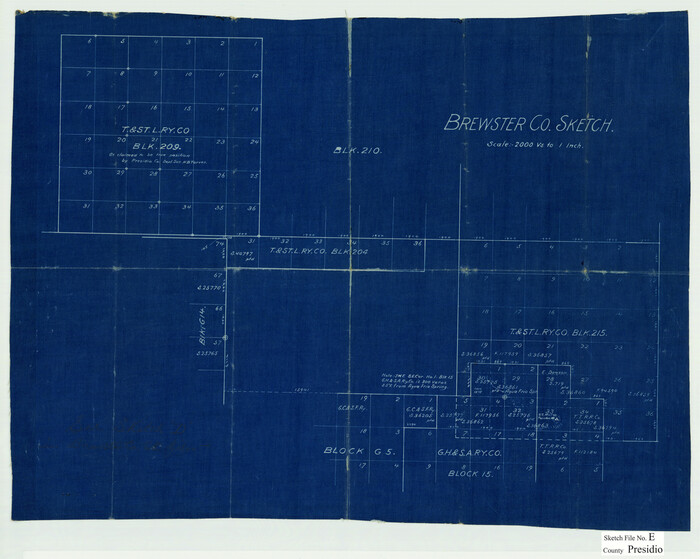
Presidio County Sketch File E

Print $20.00
- Digital $50.00
Presidio County Sketch File E
Size 15.9 x 20.0 inches
Map/Doc 11702
"K" Sketch from Loving & Winkler Counties


Print $40.00
- Digital $50.00
"K" Sketch from Loving & Winkler Counties
1902
Size 49.4 x 39.7 inches
Map/Doc 89938
![90482, [Blks. B9, J, D19, John Walker], Twichell Survey Records](https://historictexasmaps.com/wmedia_w1800h1800/maps/90482-1.tif.jpg)