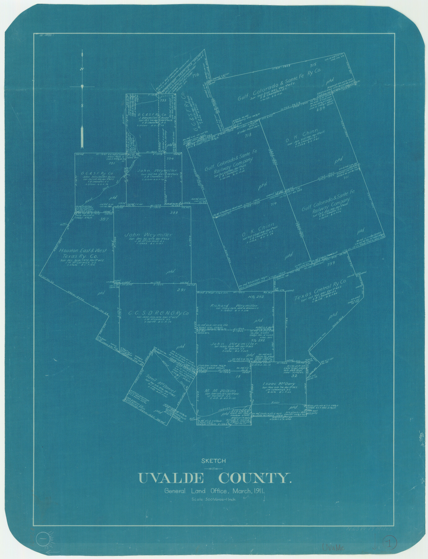
Uvalde County Working Sketch 1
-
Map/Doc
72071
-
Collection
General Map Collection
-
Object Dates
3/1911 (Creation Date)
-
Counties
Uvalde
-
Subjects
Surveying Working Sketch
-
Height x Width
27.3 x 21.0 inches
69.3 x 53.3 cm
-
Scale
1" = 500 varas
Part of: General Map Collection
Navarro County Working Sketch 18

Print $20.00
- Digital $50.00
Navarro County Working Sketch 18
2009
Size 31.9 x 38.0 inches
Map/Doc 89044
Flight Mission No. CRE-2R, Frame 83, Jackson County

Print $20.00
- Digital $50.00
Flight Mission No. CRE-2R, Frame 83, Jackson County
1956
Size 18.6 x 22.3 inches
Map/Doc 85355
Crosby County Sketch File 27

Print $20.00
- Digital $50.00
Crosby County Sketch File 27
Size 8.8 x 23.0 inches
Map/Doc 11256
Duval County Working Sketch 21

Print $20.00
- Digital $50.00
Duval County Working Sketch 21
1941
Size 16.9 x 11.8 inches
Map/Doc 68745
Winkler County Working Sketch 14

Print $20.00
- Digital $50.00
Winkler County Working Sketch 14
1961
Size 42.9 x 41.4 inches
Map/Doc 72608
Waller County Sketch File 12

Print $6.00
- Digital $50.00
Waller County Sketch File 12
1928
Size 7.6 x 8.8 inches
Map/Doc 39616
Houston County Rolled Sketch 11

Print $20.00
- Digital $50.00
Houston County Rolled Sketch 11
1988
Size 29.9 x 22.9 inches
Map/Doc 6231
Right of Way and Track Map Texas & New Orleans R.R. Co. operated by the T. & N. O. R.R. Co. Dallas-Sabine Branch

Print $40.00
- Digital $50.00
Right of Way and Track Map Texas & New Orleans R.R. Co. operated by the T. & N. O. R.R. Co. Dallas-Sabine Branch
1918
Size 26.1 x 57.1 inches
Map/Doc 64153
Flight Mission No. DQN-1K, Frame 69, Calhoun County

Print $20.00
- Digital $50.00
Flight Mission No. DQN-1K, Frame 69, Calhoun County
1953
Size 18.5 x 22.2 inches
Map/Doc 84156
Presidio County Working Sketch 22

Print $20.00
- Digital $50.00
Presidio County Working Sketch 22
1945
Size 31.7 x 21.9 inches
Map/Doc 71698
Flight Mission No. DCL-5C, Frame 3, Kenedy County

Print $20.00
- Digital $50.00
Flight Mission No. DCL-5C, Frame 3, Kenedy County
1943
Size 18.4 x 22.2 inches
Map/Doc 85828
Floyd County Sketch File 6

Print $2.00
- Digital $50.00
Floyd County Sketch File 6
Size 9.1 x 14.4 inches
Map/Doc 22696
You may also like
Calhoun County Rolled Sketch 28B

Print $7.00
- Digital $50.00
Calhoun County Rolled Sketch 28B
1834
Size 10.5 x 15.4 inches
Map/Doc 43684
Hamilton County Rolled Sketch 3

Print $20.00
- Digital $50.00
Hamilton County Rolled Sketch 3
1919
Size 20.6 x 26.2 inches
Map/Doc 6070
Runnels County Working Sketch 9

Print $40.00
- Digital $50.00
Runnels County Working Sketch 9
1948
Size 48.8 x 30.1 inches
Map/Doc 69712
Map of the New England or Eastern States (Inset 1: Map of New Brunswick, Nova Scotia and Newfoundland / Inset 2: Vicinity of Boston and Providence / Inset 3: Vicinity of New Haven and Hartford)

Print $20.00
- Digital $50.00
Map of the New England or Eastern States (Inset 1: Map of New Brunswick, Nova Scotia and Newfoundland / Inset 2: Vicinity of Boston and Providence / Inset 3: Vicinity of New Haven and Hartford)
1844
Size 17.8 x 11.8 inches
Map/Doc 93495
Foard County Sketch File 20

Print $4.00
- Digital $50.00
Foard County Sketch File 20
1885
Size 14.3 x 9.0 inches
Map/Doc 22837
San Saba County Sketch File 9

Print $22.00
- Digital $50.00
San Saba County Sketch File 9
1883
Size 12.3 x 13.7 inches
Map/Doc 36433

Edwards County Working Sketch 104

Print $20.00
- Digital $50.00
Edwards County Working Sketch 104
1972
Size 14.2 x 25.5 inches
Map/Doc 68980
Topography and water depth as shown by the U.S. Coast Survey of 1888

Print $20.00
- Digital $50.00
Topography and water depth as shown by the U.S. Coast Survey of 1888
1890
Size 17.0 x 18.8 inches
Map/Doc 390
Runnels County Sketch File 17

Print $6.00
Runnels County Sketch File 17
Size 11.0 x 13.6 inches
Map/Doc 35474
Motley County Boundary File 1

Print $46.00
- Digital $50.00
Motley County Boundary File 1
Size 9.0 x 4.1 inches
Map/Doc 57488
General Highway Map, Bexar County, Texas

Print $20.00
General Highway Map, Bexar County, Texas
1940
Size 18.4 x 25.1 inches
Map/Doc 76287