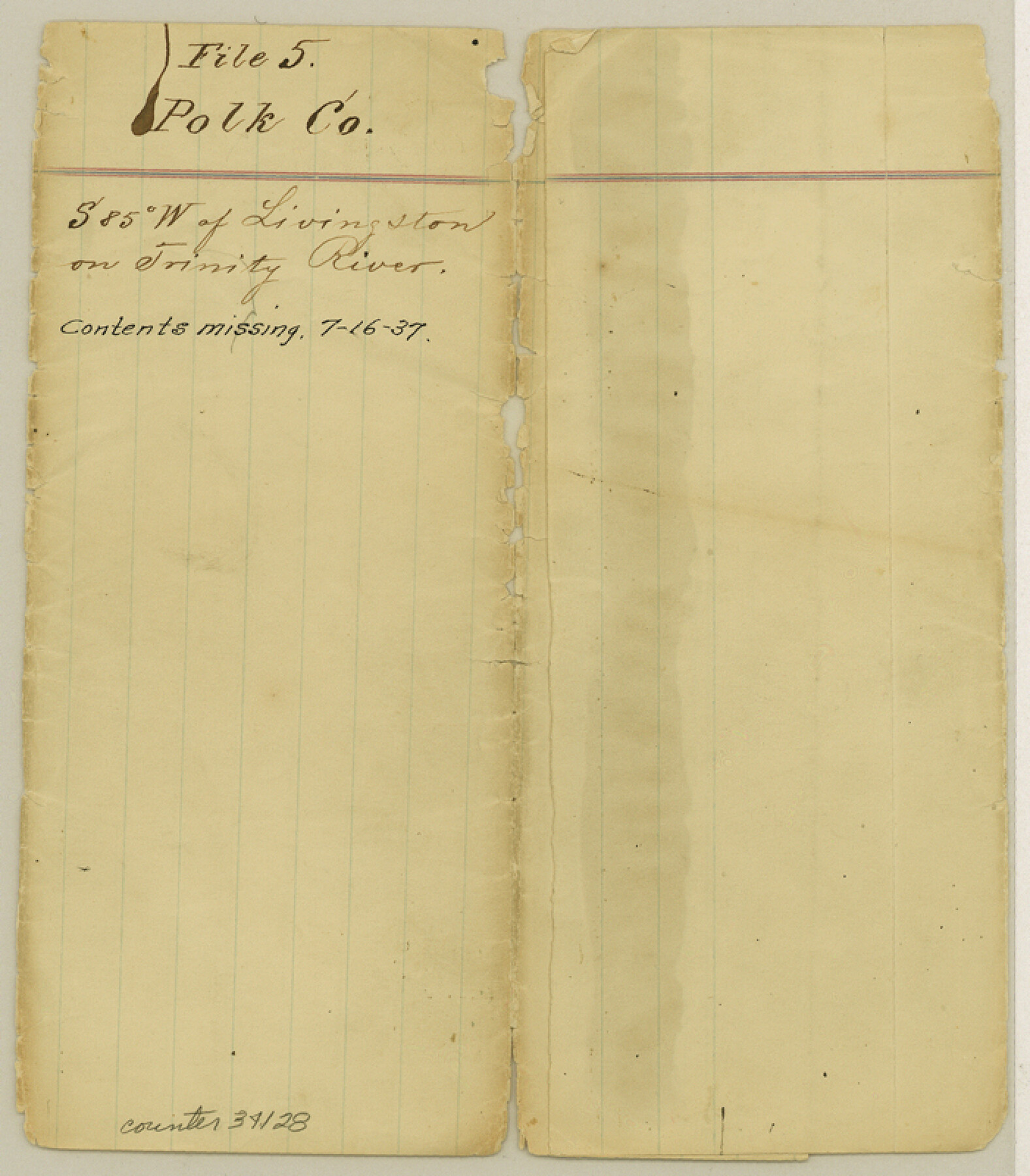
Polk County Sketch File 5
[Jacket only]
-
Map/Doc
34128
-
Collection
General Map Collection
-
Counties
Polk
-
Subjects
Surveying Sketch File
-
Height x Width
8.0 x 7.0 inches
20.3 x 17.8 cm
-
Medium
paper, manuscript
-
Features
Trinity River
Part of: General Map Collection
Nautical Chart 152-SC - Galveston Bay, Texas

Print $20.00
- Digital $50.00
Nautical Chart 152-SC - Galveston Bay, Texas
1972
Size 15.4 x 18.5 inches
Map/Doc 75908
El Paso County Boundary File 18

Print $21.00
- Digital $50.00
El Paso County Boundary File 18
Size 13.7 x 8.5 inches
Map/Doc 53196
Lynn County Sketch File 20

Print $4.00
- Digital $50.00
Lynn County Sketch File 20
1891
Size 8.8 x 10.9 inches
Map/Doc 30527
Swisher County Sketch File 9

Print $4.00
- Digital $50.00
Swisher County Sketch File 9
1916
Size 11.2 x 8.7 inches
Map/Doc 37629
Hamilton County Working Sketch 36

Print $40.00
- Digital $50.00
Hamilton County Working Sketch 36
2008
Size 36.9 x 57.3 inches
Map/Doc 88996
Val Verde County Working Sketch 66

Print $20.00
- Digital $50.00
Val Verde County Working Sketch 66
1964
Size 42.1 x 46.9 inches
Map/Doc 72201
Sketch F Showing the Progress of the Survey in Section VI With a General Reconnoissance of the Western Coast of Florida

Print $20.00
- Digital $50.00
Sketch F Showing the Progress of the Survey in Section VI With a General Reconnoissance of the Western Coast of Florida
1848
Size 25.5 x 19.2 inches
Map/Doc 97216
Flight Mission No. DAG-23K, Frame 144, Matagorda County

Print $20.00
- Digital $50.00
Flight Mission No. DAG-23K, Frame 144, Matagorda County
1953
Size 17.4 x 22.6 inches
Map/Doc 86492
Motley County Sketch File DD (S)

Print $22.00
- Digital $50.00
Motley County Sketch File DD (S)
Size 10.9 x 7.1 inches
Map/Doc 32159
Mason County Sketch File 4

Print $6.00
- Digital $50.00
Mason County Sketch File 4
1875
Size 12.9 x 8.0 inches
Map/Doc 30684
Van Zandt County Sketch File 40a

Print $4.00
- Digital $50.00
Van Zandt County Sketch File 40a
1872
Size 8.2 x 13.0 inches
Map/Doc 39488
Harrison County Rolled Sketch 4

Print $20.00
- Digital $50.00
Harrison County Rolled Sketch 4
1938
Size 28.2 x 34.9 inches
Map/Doc 6150
You may also like
Map of Lipscomb County

Print $20.00
- Digital $50.00
Map of Lipscomb County
1899
Size 42.2 x 38.9 inches
Map/Doc 95572
Madison County Rolled Sketch 1

Print $20.00
- Digital $50.00
Madison County Rolled Sketch 1
1966
Size 36.7 x 46.0 inches
Map/Doc 9485
Bandera County Working Sketch 4

Print $20.00
- Digital $50.00
Bandera County Working Sketch 4
1914
Size 18.6 x 19.3 inches
Map/Doc 67597
Jack County Working Sketch 3

Print $20.00
- Digital $50.00
Jack County Working Sketch 3
1940
Size 18.8 x 26.0 inches
Map/Doc 66429
Clay County Boundary File 1

Print $10.00
- Digital $50.00
Clay County Boundary File 1
Size 8.8 x 11.2 inches
Map/Doc 51356
Angelina County Sketch File 11e

Print $6.00
- Digital $50.00
Angelina County Sketch File 11e
1885
Size 12.7 x 8.2 inches
Map/Doc 12951
Map of Chambers County

Print $20.00
- Digital $50.00
Map of Chambers County
1896
Size 22.2 x 23.3 inches
Map/Doc 3385
Harris County NRC Article 33.136 Location Key Sheet

Print $20.00
- Digital $50.00
Harris County NRC Article 33.136 Location Key Sheet
1982
Size 27.0 x 22.5 inches
Map/Doc 77026
Brewster County Rolled Sketch 153

Print $20.00
- Digital $50.00
Brewster County Rolled Sketch 153
Size 32.4 x 19.2 inches
Map/Doc 5320
Scurry County Working Sketch 7

Print $20.00
- Digital $50.00
Scurry County Working Sketch 7
1971
Size 33.5 x 29.0 inches
Map/Doc 63836
Callahan County Rolled Sketch 1

Print $20.00
- Digital $50.00
Callahan County Rolled Sketch 1
1944
Size 26.9 x 26.3 inches
Map/Doc 5379
Williamson County Working Sketch 17

Print $20.00
- Digital $50.00
Williamson County Working Sketch 17
1984
Size 32.7 x 24.0 inches
Map/Doc 72577