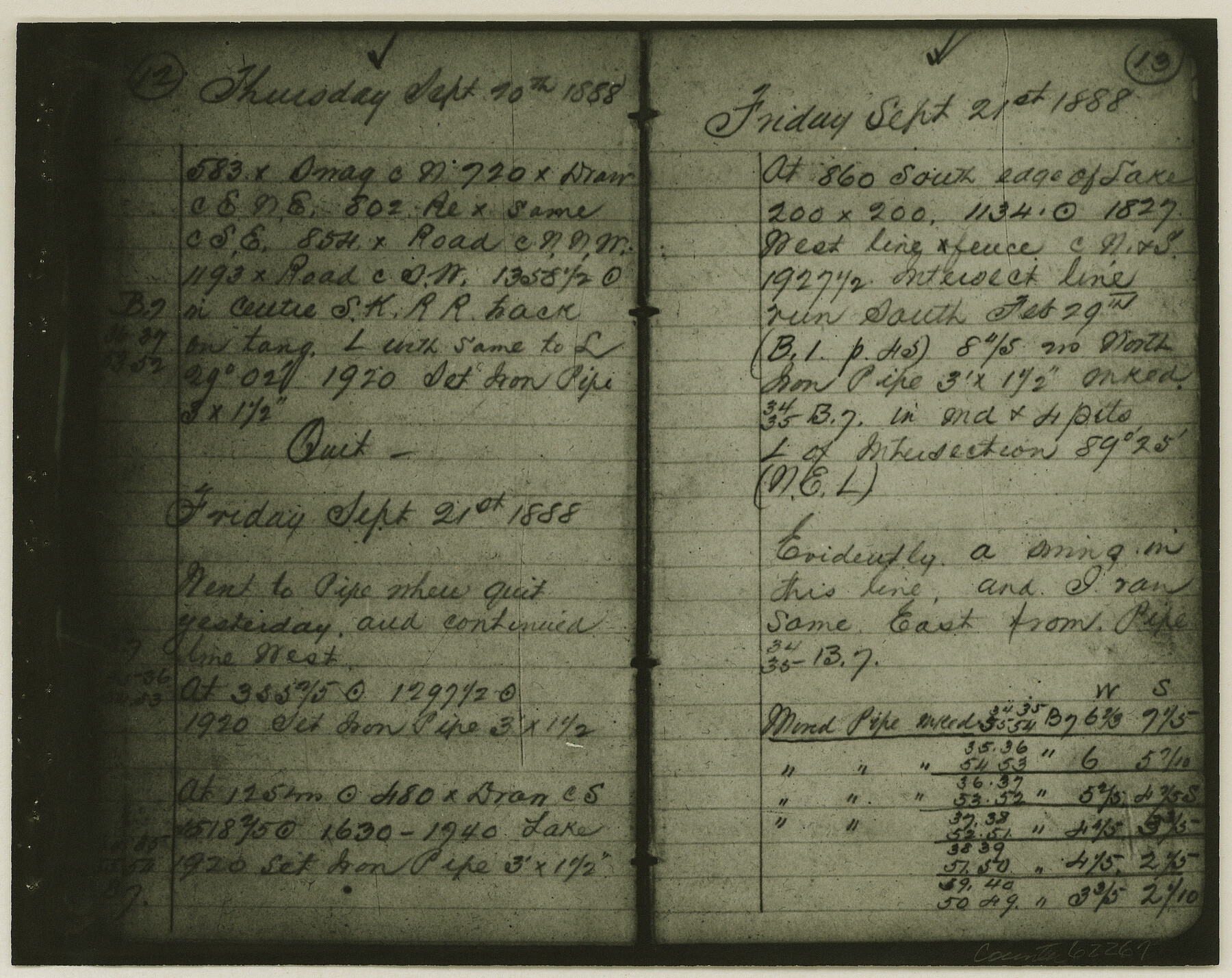
Copy of Surveyor's Field Book, Morris Browning - In Blocks 7, 5 & 4, I&GNRRCo., Hutchinson and Carson Counties, Texas
K-7-70
-
Map/Doc
62267
-
Collection
General Map Collection
-
Object Dates
1888/10/22 (Creation Date)
-
People and Organizations
Morris Browning (Surveyor/Engineer)
-
Counties
Hutchinson Carson
-
Height x Width
7.0 x 8.8 inches
17.8 x 22.4 cm
-
Comments
Copy of Surveyor's field book presented to the General Land Office by Morris Browning on February 3, 1941.
Surveyed from September 14, 1888 to October 22, 1888.
Part of: General Map Collection

Limestone County Sketch File 18

Print $6.00
- Digital $50.00
Limestone County Sketch File 18
Size 16.0 x 10.7 inches
Map/Doc 30191
Connected Map of Austin's Colony

Print $40.00
- Digital $50.00
Connected Map of Austin's Colony
1837
Size 93.2 x 43.7 inches
Map/Doc 93377

Travis County Sketch File 39

Print $20.00
- Digital $50.00
Travis County Sketch File 39
1914
Size 15.5 x 25.7 inches
Map/Doc 12463
Flight Mission No. CRC-2R, Frame 111, Chambers County

Print $20.00
- Digital $50.00
Flight Mission No. CRC-2R, Frame 111, Chambers County
1956
Size 18.4 x 22.3 inches
Map/Doc 84738
Interfaith's Official Map: The Woodlands, a real hometown for people and companies

Interfaith's Official Map: The Woodlands, a real hometown for people and companies
1997
Size 36.7 x 22.5 inches
Map/Doc 94285
Bastrop County Sketch File 1

Print $6.00
- Digital $50.00
Bastrop County Sketch File 1
1846
Size 8.1 x 9.8 inches
Map/Doc 14037
Oldham County Rolled Sketch T

Print $20.00
- Digital $50.00
Oldham County Rolled Sketch T
1903
Size 42.3 x 46.2 inches
Map/Doc 9642
Map of the City of Kerens (Navarro County) Texas

Print $40.00
- Digital $50.00
Map of the City of Kerens (Navarro County) Texas
1958
Size 44.2 x 54.9 inches
Map/Doc 93670
Crockett County Sketch File 6

Print $20.00
- Digital $50.00
Crockett County Sketch File 6
1877
Size 22.2 x 17.2 inches
Map/Doc 3457

You may also like
Padre Island Under Six Flags

Print $40.00
- Digital $50.00
Padre Island Under Six Flags
1962
Size 63.7 x 36.9 inches
Map/Doc 3126
Aransas County NRC Article 33.136 Location Key Sheet

Print $20.00
- Digital $50.00
Aransas County NRC Article 33.136 Location Key Sheet
1979
Size 27.0 x 23.0 inches
Map/Doc 77005
Knox County Working Sketch 3

Print $20.00
- Digital $50.00
Knox County Working Sketch 3
1917
Size 25.0 x 17.0 inches
Map/Doc 70245
Leon County Working Sketch 10

Print $20.00
- Digital $50.00
Leon County Working Sketch 10
1951
Size 21.5 x 17.3 inches
Map/Doc 70409
[Surveys in Tyler County]
![352, [Surveys in Tyler County], General Map Collection](https://historictexasmaps.com/wmedia_w700/maps/352.tif.jpg)
Print $2.00
- Digital $50.00
[Surveys in Tyler County]
1847
Size 8.3 x 5.2 inches
Map/Doc 352
Palo Pinto County Sketch File 3

Print $20.00
- Digital $50.00
Palo Pinto County Sketch File 3
1850
Size 24.6 x 19.3 inches
Map/Doc 12132
United States - Gulf Coast - From Latitude 26° 33' to the Rio Grande Texas

Print $20.00
- Digital $50.00
United States - Gulf Coast - From Latitude 26° 33' to the Rio Grande Texas
1913
Size 18.5 x 27.6 inches
Map/Doc 72841
Atascosa County Sketch File 2b

Print $6.00
- Digital $50.00
Atascosa County Sketch File 2b
1855
Size 8.8 x 13.2 inches
Map/Doc 13728
Coke County Rolled Sketch 14B

Print $20.00
- Digital $50.00
Coke County Rolled Sketch 14B
Size 16.3 x 19.3 inches
Map/Doc 5516
Chambers County Working Sketch 16

Print $20.00
- Digital $50.00
Chambers County Working Sketch 16
1961
Size 32.8 x 30.4 inches
Map/Doc 67999
Amistad International Reservoir on Rio Grande 84

Print $20.00
- Digital $50.00
Amistad International Reservoir on Rio Grande 84
1949
Size 28.4 x 40.2 inches
Map/Doc 75513
Perspective Map of the City of Laredo, Texas, the Gateway to and from Mexico

Print $20.00
Perspective Map of the City of Laredo, Texas, the Gateway to and from Mexico
1892
Size 22.1 x 34.2 inches
Map/Doc 89098