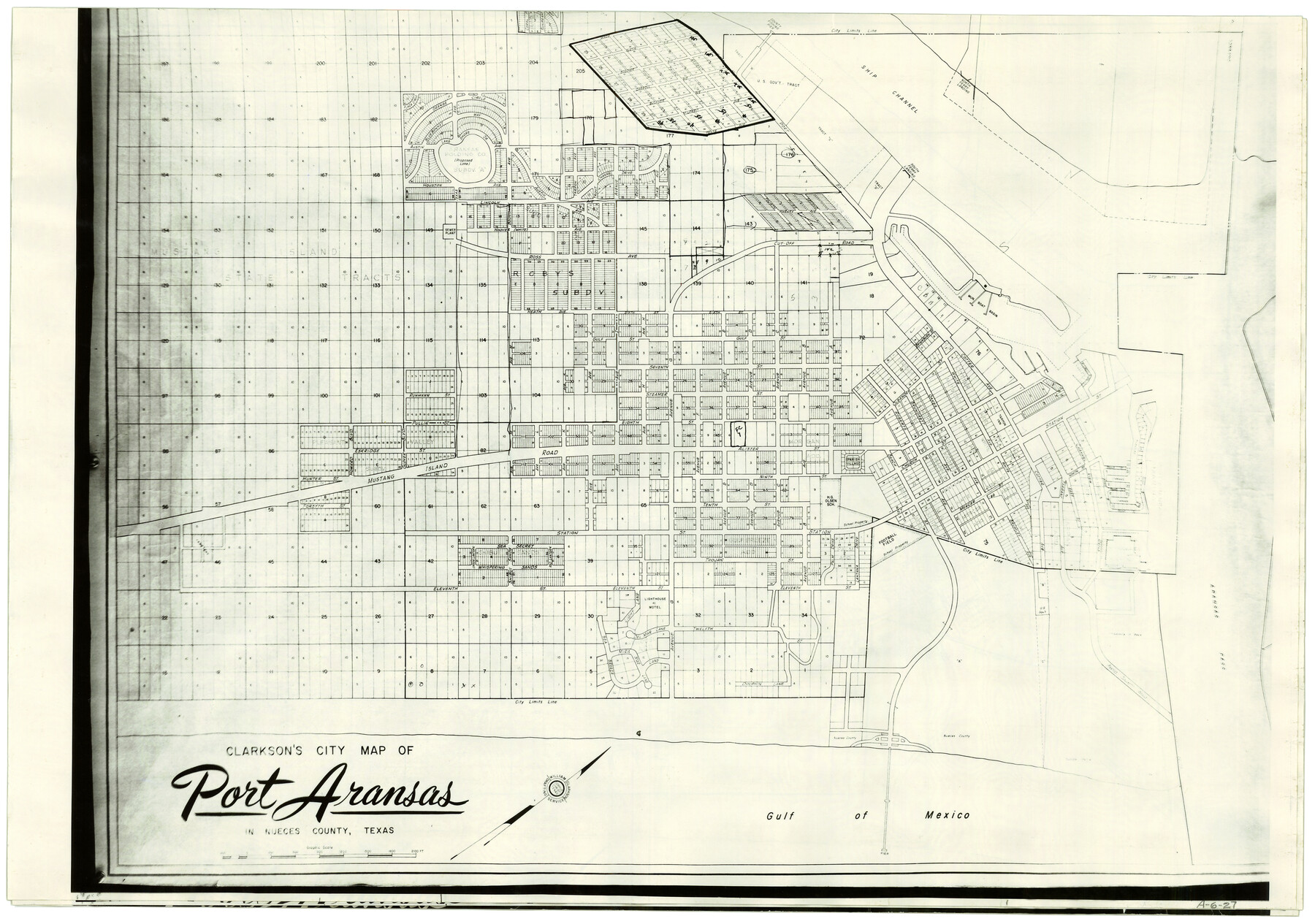
Clarkson's City Map of Port Aransas
A-6-27
-
Map/Doc
3040
-
Collection
General Map Collection
-
Counties
Nueces
-
Subjects
City
-
Height x Width
18.5 x 26.5 inches
47.0 x 67.3 cm
-
Comments
Covers south 90 percent of map; map 3038 covers north 90 percent of map.
Related maps
Clarkson's City Map of Port Aransas

Print $20.00
- Digital $50.00
Clarkson's City Map of Port Aransas
Size 18.5 x 26.7 inches
Map/Doc 3038
Part of: General Map Collection
McCulloch County Working Sketch 3

Print $20.00
- Digital $50.00
McCulloch County Working Sketch 3
1951
Size 30.9 x 36.8 inches
Map/Doc 70678
Medina County Rolled Sketch 23

Print $20.00
- Digital $50.00
Medina County Rolled Sketch 23
Size 30.4 x 42.6 inches
Map/Doc 89063
Cass County Working Sketch 54

Print $20.00
- Digital $50.00
Cass County Working Sketch 54
2012
Size 26.2 x 21.6 inches
Map/Doc 93337
Jefferson County NRC Article 33.136 Location Key Sheet

Print $20.00
- Digital $50.00
Jefferson County NRC Article 33.136 Location Key Sheet
1993
Size 27.0 x 21.8 inches
Map/Doc 77030
Hamilton County Rolled Sketch 8

Print $20.00
- Digital $50.00
Hamilton County Rolled Sketch 8
1943
Size 28.0 x 32.8 inches
Map/Doc 6058
Webb County Working Sketch 14

Print $20.00
- Digital $50.00
Webb County Working Sketch 14
1923
Size 19.3 x 32.2 inches
Map/Doc 72379
Crosby County Boundary File 4a

Print $30.00
- Digital $50.00
Crosby County Boundary File 4a
Size 8.8 x 32.8 inches
Map/Doc 52028
Duval County Rolled Sketch 18

Print $20.00
- Digital $50.00
Duval County Rolled Sketch 18
1940
Size 23.7 x 23.0 inches
Map/Doc 5739
La Salle County Sketch File 11

Print $20.00
- Digital $50.00
La Salle County Sketch File 11
1877
Size 12.7 x 8.1 inches
Map/Doc 29460

Marion County Rolled Sketch 10

Print $20.00
- Digital $50.00
Marion County Rolled Sketch 10
2023
Size 24.1 x 36.9 inches
Map/Doc 97192
Crosby County Working Sketch Graphic Index

Print $20.00
- Digital $50.00
Crosby County Working Sketch Graphic Index
1927
Size 41.8 x 37.4 inches
Map/Doc 76513
You may also like
[Blocks M18, M23, I, Z, and Block 47, Sections 16-28]
![91244, [Blocks M18, M23, I, Z, and Block 47, Sections 16-28], Twichell Survey Records](https://historictexasmaps.com/wmedia_w700/maps/91244-1.tif.jpg)
Print $20.00
- Digital $50.00
[Blocks M18, M23, I, Z, and Block 47, Sections 16-28]
Size 19.5 x 23.6 inches
Map/Doc 91244
Matagorda County NRC Article 33.136 Sketch 1

Print $21.00
- Digital $50.00
Matagorda County NRC Article 33.136 Sketch 1
2004
Size 17.6 x 23.1 inches
Map/Doc 82920
Fayette County Working Sketch 1

Print $20.00
- Digital $50.00
Fayette County Working Sketch 1
1949
Size 25.4 x 18.0 inches
Map/Doc 69165
Madison County Working Sketch Graphic Index

Print $20.00
- Digital $50.00
Madison County Working Sketch Graphic Index
1922
Size 29.4 x 47.6 inches
Map/Doc 76628
Eastland County Sketch File 14

Print $8.00
- Digital $50.00
Eastland County Sketch File 14
Size 11.5 x 9.2 inches
Map/Doc 21595
Bexar County Sketch File 42a

Print $4.00
- Digital $50.00
Bexar County Sketch File 42a
Size 8.0 x 9.6 inches
Map/Doc 14520
Mexico Comision Pesquisidora de la Frontera del Norte

Mexico Comision Pesquisidora de la Frontera del Norte
1874
Map/Doc 97125
Nueces County NRC Article 33.136 Location Key Sheet

Print $20.00
- Digital $50.00
Nueces County NRC Article 33.136 Location Key Sheet
1975
Size 27.3 x 23.0 inches
Map/Doc 88587
Map of scout of second column, Indian Territory Expedition, 1874

Print $4.00
- Digital $50.00
Map of scout of second column, Indian Territory Expedition, 1874
1874
Size 20.2 x 16.4 inches
Map/Doc 65401
Brooks County Working Sketch 13

Print $20.00
- Digital $50.00
Brooks County Working Sketch 13
1943
Size 22.4 x 31.9 inches
Map/Doc 67797

Jackson County Boundary File 1a

Print $12.00
- Digital $50.00
Jackson County Boundary File 1a
Size 12.8 x 8.0 inches
Map/Doc 55431