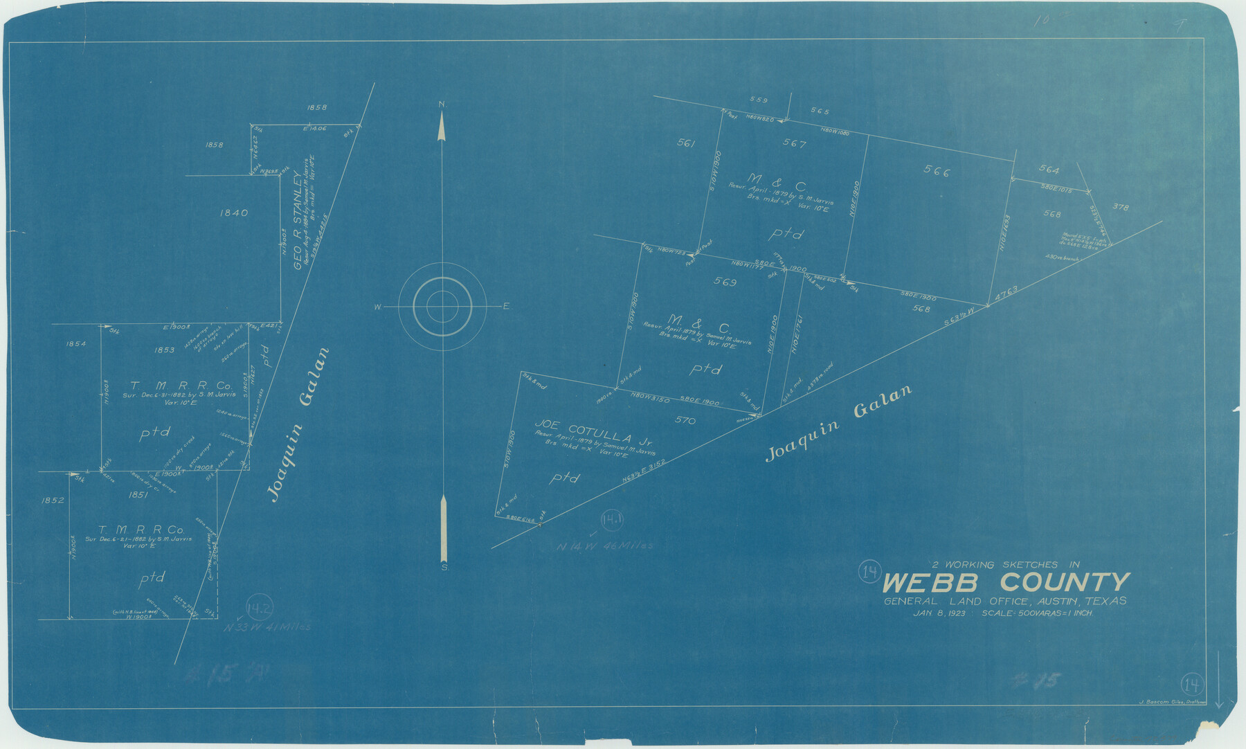
Webb County Working Sketch 14
-
Map/Doc
72379
-
Collection
General Map Collection
-
Object Dates
1/8/1923 (Creation Date)
-
People and Organizations
J. Bascom Giles (Draftsman)
-
Counties
Webb
-
Subjects
Surveying Working Sketch
-
Height x Width
19.3 x 32.2 inches
49.0 x 81.8 cm
-
Scale
1" = 500 varas
Part of: General Map Collection
Edwards County Rolled Sketch 37

Print $20.00
- Digital $50.00
Edwards County Rolled Sketch 37
2018
Size 23.3 x 30.2 inches
Map/Doc 94459
Schleicher County

Print $40.00
- Digital $50.00
Schleicher County
1940
Size 38.7 x 54.9 inches
Map/Doc 73285
Flight Mission No. DIX-7P, Frame 14, Aransas County

Print $20.00
- Digital $50.00
Flight Mission No. DIX-7P, Frame 14, Aransas County
1956
Size 18.8 x 22.6 inches
Map/Doc 83866
Lynn County Rolled Sketch 13

Print $20.00
- Digital $50.00
Lynn County Rolled Sketch 13
Size 36.2 x 24.7 inches
Map/Doc 6649
Palo Pinto County Working Sketch Graphic Index

Print $20.00
- Digital $50.00
Palo Pinto County Working Sketch Graphic Index
1941
Map/Doc 76659
Uvalde County Rolled Sketch 20

Print $20.00
- Digital $50.00
Uvalde County Rolled Sketch 20
1990
Size 33.7 x 38.2 inches
Map/Doc 10066
Collin County Working Sketch Graphic Index

Print $20.00
- Digital $50.00
Collin County Working Sketch Graphic Index
1975
Size 41.4 x 39.0 inches
Map/Doc 76498
Brewster County Working Sketch 106

Print $20.00
- Digital $50.00
Brewster County Working Sketch 106
1980
Size 43.3 x 31.8 inches
Map/Doc 67706
Polk County Sketch File 11a

Print $4.00
- Digital $50.00
Polk County Sketch File 11a
Size 8.1 x 9.7 inches
Map/Doc 34144
Jeff Davis County Working Sketch 34

Print $20.00
- Digital $50.00
Jeff Davis County Working Sketch 34
1978
Size 20.4 x 38.0 inches
Map/Doc 66529
Flight Mission No. BRA-7M, Frame 208, Jefferson County

Print $20.00
- Digital $50.00
Flight Mission No. BRA-7M, Frame 208, Jefferson County
1953
Size 18.5 x 22.3 inches
Map/Doc 85576
Lampasas County Working Sketch 23

Print $20.00
- Digital $50.00
Lampasas County Working Sketch 23
2000
Size 22.9 x 36.8 inches
Map/Doc 70301
You may also like
Pecos County Working Sketch 115

Print $40.00
- Digital $50.00
Pecos County Working Sketch 115
1973
Size 54.6 x 31.8 inches
Map/Doc 71588
Map of San Saba County : exhibiting the extent of public surveys, land grants, and other official information…

Print $20.00
Map of San Saba County : exhibiting the extent of public surveys, land grants, and other official information…
1876
Size 22.8 x 20.1 inches
Map/Doc 93593
Duval County Sketch File 45b

Print $40.00
- Digital $50.00
Duval County Sketch File 45b
1936
Size 26.0 x 18.1 inches
Map/Doc 11399
Runnels County Rolled Sketch 18

Print $20.00
- Digital $50.00
Runnels County Rolled Sketch 18
Size 23.1 x 25.3 inches
Map/Doc 7513
McMullen County Sketch File 3

Print $4.00
- Digital $50.00
McMullen County Sketch File 3
Size 8.2 x 6.5 inches
Map/Doc 31339
Flight Mission No. BRE-2P, Frame 94, Nueces County

Print $20.00
- Digital $50.00
Flight Mission No. BRE-2P, Frame 94, Nueces County
1956
Size 18.6 x 22.3 inches
Map/Doc 86779
Andrews County Rolled Sketch 46

Print $40.00
- Digital $50.00
Andrews County Rolled Sketch 46
2013
Size 52.0 x 36.0 inches
Map/Doc 93641
List of County School Lands

Print $20.00
- Digital $50.00
List of County School Lands
Size 17.7 x 23.2 inches
Map/Doc 65797
Harris County Working Sketch 34

Print $40.00
- Digital $50.00
Harris County Working Sketch 34
1937
Size 37.5 x 52.1 inches
Map/Doc 65926
El Paso County Rolled Sketch WL

Print $20.00
- Digital $50.00
El Paso County Rolled Sketch WL
1922
Size 26.9 x 19.1 inches
Map/Doc 5860
Henderson County Working Sketch 43

Print $20.00
- Digital $50.00
Henderson County Working Sketch 43
1994
Size 36.7 x 39.0 inches
Map/Doc 66176
Motley County Sketch File 11 (N)

Print $14.00
- Digital $50.00
Motley County Sketch File 11 (N)
1900
Size 11.1 x 8.6 inches
Map/Doc 32036