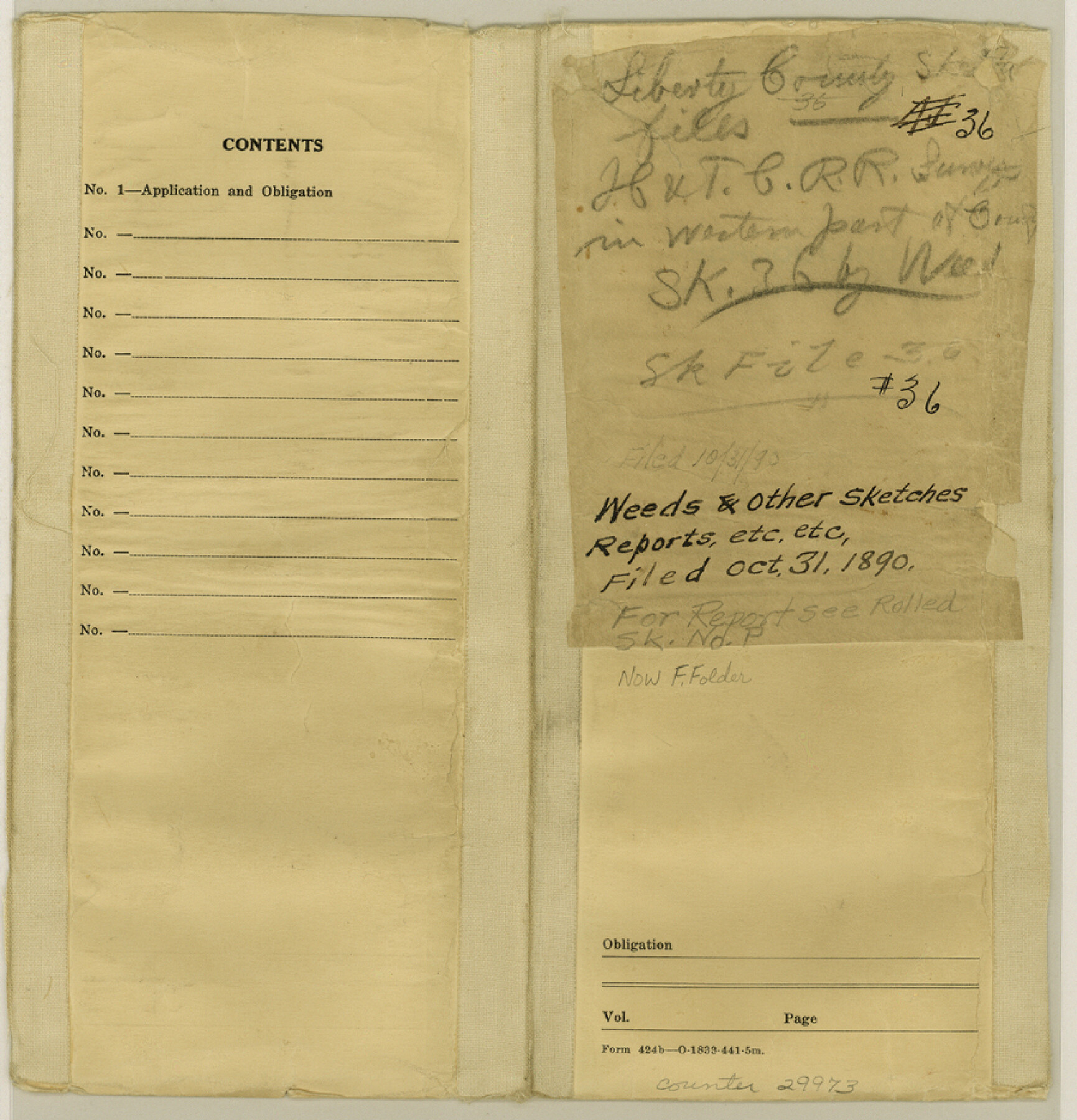
Liberty County Sketch File 36
[Jacket only]
-
Map/Doc
29973
-
Collection
General Map Collection
-
People and Organizations
James F. Weed (Surveyor/Engineer)
-
Counties
Liberty
-
Subjects
Surveying Sketch File
-
Height x Width
9.4 x 9.0 inches
23.9 x 22.9 cm
-
Medium
paper, print
-
Comments
Contents missing.
Part of: General Map Collection
Shelby County Working Sketch 15

Print $20.00
- Digital $50.00
Shelby County Working Sketch 15
1952
Size 24.5 x 19.2 inches
Map/Doc 63868
Flight Mission No. DQO-3K, Frame 40, Galveston County

Print $20.00
- Digital $50.00
Flight Mission No. DQO-3K, Frame 40, Galveston County
1952
Size 18.8 x 22.4 inches
Map/Doc 85081
Tarrant County Boundary File 2

Print $6.00
- Digital $50.00
Tarrant County Boundary File 2
Size 14.4 x 9.0 inches
Map/Doc 59111
Lampasas County Sketch File 11

Print $4.00
- Digital $50.00
Lampasas County Sketch File 11
1874
Size 12.2 x 7.9 inches
Map/Doc 29420
Flight Mission No. CLL-1N, Frame 111, Willacy County

Print $20.00
- Digital $50.00
Flight Mission No. CLL-1N, Frame 111, Willacy County
1954
Size 18.4 x 22.2 inches
Map/Doc 87045
Flight Mission No. BRE-2P, Frame 35, Nueces County

Print $20.00
- Digital $50.00
Flight Mission No. BRE-2P, Frame 35, Nueces County
1956
Size 18.7 x 22.8 inches
Map/Doc 86737
Intracoastal Waterway in Texas - Corpus Christi to Point Isabel including Arroyo Colorado to Mo. Pac. R.R. Bridge Near Harlingen

Print $20.00
- Digital $50.00
Intracoastal Waterway in Texas - Corpus Christi to Point Isabel including Arroyo Colorado to Mo. Pac. R.R. Bridge Near Harlingen
1933
Size 28.1 x 40.8 inches
Map/Doc 61847
Flight Mission No. CUG-3P, Frame 143, Kleberg County

Print $20.00
- Digital $50.00
Flight Mission No. CUG-3P, Frame 143, Kleberg County
1956
Size 19.0 x 22.5 inches
Map/Doc 86278
Edwards County Sketch File 13

Print $6.00
- Digital $50.00
Edwards County Sketch File 13
1888
Size 11.1 x 7.1 inches
Map/Doc 21700
Flight Mission No. DQN-1K, Frame 114, Calhoun County

Print $20.00
- Digital $50.00
Flight Mission No. DQN-1K, Frame 114, Calhoun County
1953
Size 18.5 x 22.3 inches
Map/Doc 84180
Map of Potter County

Print $20.00
- Digital $50.00
Map of Potter County
1895
Size 27.0 x 21.1 inches
Map/Doc 3966
Terrell County Working Sketch 28

Print $20.00
- Digital $50.00
Terrell County Working Sketch 28
1944
Size 42.0 x 41.9 inches
Map/Doc 62178
You may also like
Montgomery County Sketch File 6

Print $4.00
- Digital $50.00
Montgomery County Sketch File 6
Size 4.6 x 5.7 inches
Map/Doc 31781
Austin County Boundary File 2

Print $32.00
- Digital $50.00
Austin County Boundary File 2
Size 22.4 x 30.7 inches
Map/Doc 50236
Presidio County Boundary File 4

Print $8.00
- Digital $50.00
Presidio County Boundary File 4
Size 13.9 x 8.6 inches
Map/Doc 58083
Parker County Sketch File 21

Print $4.00
- Digital $50.00
Parker County Sketch File 21
Size 9.6 x 7.6 inches
Map/Doc 33560
Angelina County Sketch File 15h

Print $4.00
- Digital $50.00
Angelina County Sketch File 15h
1889
Size 10.0 x 8.0 inches
Map/Doc 12998
Map Showing the Barranco Blanco, Rincon del Oso, and Rincon de Corpus Christi Grants

Print $40.00
- Digital $50.00
Map Showing the Barranco Blanco, Rincon del Oso, and Rincon de Corpus Christi Grants
1886
Size 58.8 x 80.1 inches
Map/Doc 16781
[T. A. Thomson Block T, R. M. Thomson Block 1, and Block B]
![91054, [T. A. Thomson Block T, R. M. Thomson Block 1, and Block B], Twichell Survey Records](https://historictexasmaps.com/wmedia_w700/maps/91054-1.tif.jpg)
Print $20.00
- Digital $50.00
[T. A. Thomson Block T, R. M. Thomson Block 1, and Block B]
Size 17.3 x 20.4 inches
Map/Doc 91054
Sabine County Working Sketch 10

Print $20.00
- Digital $50.00
Sabine County Working Sketch 10
1925
Size 18.6 x 24.2 inches
Map/Doc 63681

Portion of Culberson County, Texas

Print $20.00
- Digital $50.00
Portion of Culberson County, Texas
1948
Size 31.1 x 33.2 inches
Map/Doc 92609
[Plat showing connecting lines for the purpose of locating 4.3 acres in Caldwell County]
![90220, [Plat showing connecting lines for the purpose of locating 4.3 acres in Caldwell County], Twichell Survey Records](https://historictexasmaps.com/wmedia_w700/maps/90220-1.tif.jpg)
Print $2.00
- Digital $50.00
[Plat showing connecting lines for the purpose of locating 4.3 acres in Caldwell County]
1923
Size 7.4 x 10.2 inches
Map/Doc 90220
Map of Bexar County

Print $20.00
- Digital $50.00
Map of Bexar County
1878
Size 23.5 x 26.6 inches
Map/Doc 3299