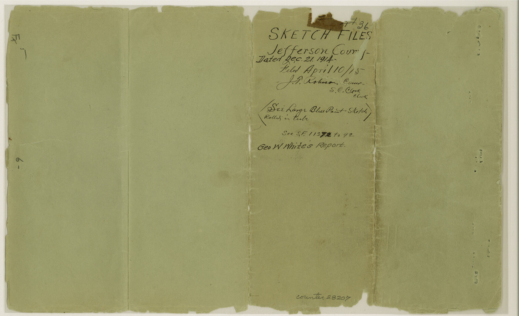
Jefferson County Sketch File 36
[Report on the lines run from established corners in locating the vacant school land for W. P. H. McFaddin and L. W. Houk]
-
Map/Doc
28207
-
Collection
General Map Collection
-
Object Dates
12/21/1914 (Creation Date)
4/10/1915 (File Date)
12/21/1914 (Correspondence Date)
5/1909 (Survey Date)
3/1881 (Survey Date)
-
People and Organizations
George W. White (Surveyor/Engineer)
A.B. Doucette (Surveyor/Engineer)
L.F. Daniell (Surveyor/Engineer)
L.J. Kopkee (Surveyor/Engineer)
J.A. Green (Surveyor/Engineer)
H.J. Walger (Surveyor/Engineer)
James Ingalls (Surveyor/Engineer)
James H. Rachford (Surveyor/Engineer)
-
Counties
Jefferson Chambers
-
Subjects
Surveying Sketch File
-
Height x Width
9.0 x 14.7 inches
22.9 x 37.3 cm
-
Medium
paper, print
-
Features
Sabine Pass
Knights Lake
Gulf Beach
Pipkin Ranch House
Salt Bayou
Long Lake
Part of: General Map Collection
Galveston County NRC Article 33.136 Sketch 45

Print $21.00
- Digital $50.00
Galveston County NRC Article 33.136 Sketch 45
2007
Size 18.7 x 23.4 inches
Map/Doc 87365
Flight Mission No. CRC-3R, Frame 198, Chambers County

Print $20.00
- Digital $50.00
Flight Mission No. CRC-3R, Frame 198, Chambers County
1956
Size 18.5 x 22.2 inches
Map/Doc 84853
Cottle County Rolled Sketch E

Print $20.00
- Digital $50.00
Cottle County Rolled Sketch E
1917
Size 29.9 x 28.7 inches
Map/Doc 8674
Upton County Working Sketch 60

Print $20.00
- Digital $50.00
Upton County Working Sketch 60
2012
Size 34.2 x 32.1 inches
Map/Doc 93387
Harris County Working Sketch 1

Print $20.00
- Digital $50.00
Harris County Working Sketch 1
Size 15.8 x 15.8 inches
Map/Doc 65893
Houston County Working Sketch 33

Print $40.00
- Digital $50.00
Houston County Working Sketch 33
1987
Size 37.6 x 58.7 inches
Map/Doc 66263
Map of Zavalla County

Print $20.00
- Digital $50.00
Map of Zavalla County
1876
Size 22.5 x 33.2 inches
Map/Doc 4181
Kendall County Working Sketch 3

Print $20.00
- Digital $50.00
Kendall County Working Sketch 3
1941
Size 18.0 x 18.3 inches
Map/Doc 66675
Atascosa County

Print $20.00
- Digital $50.00
Atascosa County
1948
Size 47.6 x 44.9 inches
Map/Doc 77204
Nueces County Sketch File A

Print $10.00
- Digital $50.00
Nueces County Sketch File A
1879
Size 14.9 x 10.3 inches
Map/Doc 32493
Cottle County Sketch File H

Print $12.00
- Digital $50.00
Cottle County Sketch File H
1976
Size 11.2 x 8.7 inches
Map/Doc 19451
Presidio County Rolled Sketch 133

Print $20.00
- Digital $50.00
Presidio County Rolled Sketch 133
Size 37.3 x 27.2 inches
Map/Doc 7400
You may also like
Aransas County Rolled Sketch 27G

Print $20.00
- Digital $50.00
Aransas County Rolled Sketch 27G
1983
Size 32.8 x 33.0 inches
Map/Doc 8421
Cameron County Boundary File 5

Print $8.00
- Digital $50.00
Cameron County Boundary File 5
Size 8.8 x 15.3 inches
Map/Doc 51113
Flight Mission No. DQO-8K, Frame 66, Galveston County

Print $20.00
- Digital $50.00
Flight Mission No. DQO-8K, Frame 66, Galveston County
1952
Size 18.7 x 22.4 inches
Map/Doc 85170
Upton County Working Sketch 58

Print $20.00
- Digital $50.00
Upton County Working Sketch 58
1988
Size 29.1 x 37.8 inches
Map/Doc 69555
Glasscock County Sketch File 21

Print $20.00
- Digital $50.00
Glasscock County Sketch File 21
1936
Size 23.1 x 20.3 inches
Map/Doc 11564
Live Oak County Boundary File 60a

Print $18.00
- Digital $50.00
Live Oak County Boundary File 60a
Size 12.7 x 8.4 inches
Map/Doc 56407
Starr County Sketch File 27

Print $20.00
- Digital $50.00
Starr County Sketch File 27
1930
Size 22.2 x 34.0 inches
Map/Doc 12333

Leon County Working Sketch 49

Print $20.00
- Digital $50.00
Leon County Working Sketch 49
1981
Size 23.9 x 24.7 inches
Map/Doc 70448
Aransas County Sketch File 11

Print $40.00
- Digital $50.00
Aransas County Sketch File 11
Size 40.6 x 31.4 inches
Map/Doc 10318
Madison County Working Sketch 11

Print $20.00
- Digital $50.00
Madison County Working Sketch 11
1964
Size 39.6 x 33.4 inches
Map/Doc 70773
Stonewall County Working Sketch 24

Print $20.00
- Digital $50.00
Stonewall County Working Sketch 24
1973
Size 27.1 x 30.9 inches
Map/Doc 62331