[Surveys along the Trinity River]
Atlas G, Page 5, Sketch 1 (G-5-1)
G-5-1
-
Map/Doc
298
-
Collection
General Map Collection
-
Counties
Liberty
-
Subjects
Atlas
-
Height x Width
6.3 x 9.2 inches
16.0 x 23.4 cm
-
Medium
paper, manuscript
-
Comments
Conserved in 2004.
Part of: General Map Collection
A Topographical Map of the Government Tract Adjoining the City of Austin


Print $20.00
- Digital $50.00
A Topographical Map of the Government Tract Adjoining the City of Austin
1840
Size 41.9 x 37.4 inches
Map/Doc 4842
Van Zandt County Sketch File 2
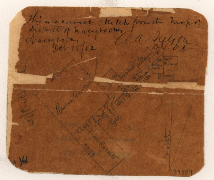

Print $9.00
- Digital $50.00
Van Zandt County Sketch File 2
1852
Size 12.9 x 4.9 inches
Map/Doc 39359
Bowie County Working Sketch 16


Print $20.00
- Digital $50.00
Bowie County Working Sketch 16
1961
Size 17.8 x 17.2 inches
Map/Doc 67420
[Missouri, Kansas & Texas] E. L. & R. R. Railroad, Morris Co.
![64273, [Missouri, Kansas & Texas] E. L. & R. R. Railroad, Morris Co., General Map Collection](https://historictexasmaps.com/wmedia_w700/maps/64273.tif.jpg)
![64273, [Missouri, Kansas & Texas] E. L. & R. R. Railroad, Morris Co., General Map Collection](https://historictexasmaps.com/wmedia_w700/maps/64273.tif.jpg)
Print $20.00
- Digital $50.00
[Missouri, Kansas & Texas] E. L. & R. R. Railroad, Morris Co.
1906
Size 13.1 x 28.4 inches
Map/Doc 64273
Colorado County Working Sketch 7
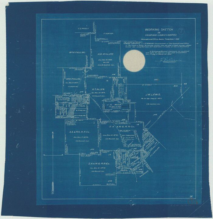

Print $20.00
- Digital $50.00
Colorado County Working Sketch 7
1922
Size 23.8 x 23.2 inches
Map/Doc 68107
Dimmit County Sketch File 50
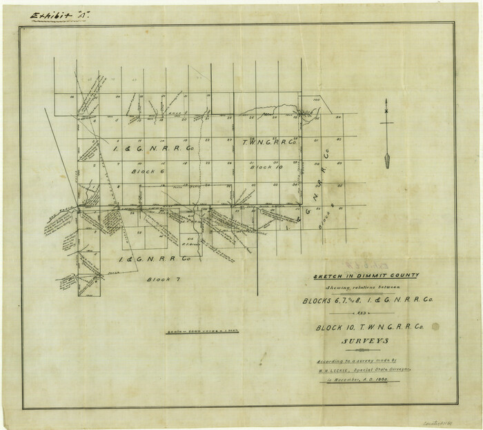

Print $36.00
- Digital $50.00
Dimmit County Sketch File 50
1909
Size 18.2 x 20.4 inches
Map/Doc 21181
Wilbarger County Sketch File 20
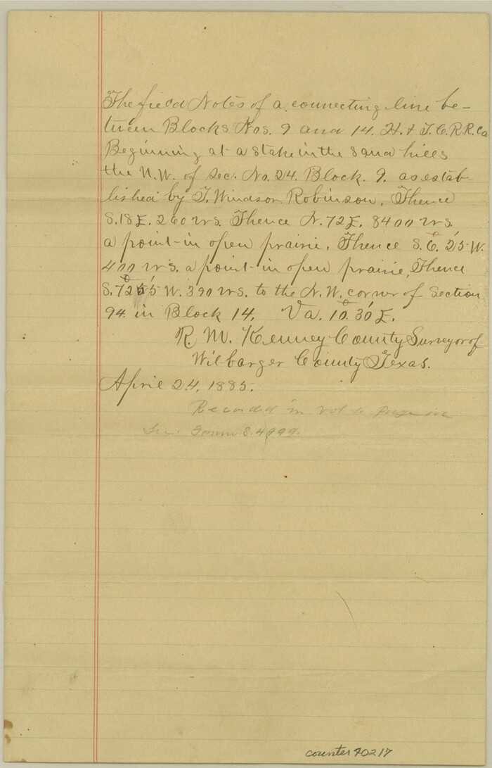

Print $4.00
- Digital $50.00
Wilbarger County Sketch File 20
1885
Size 12.7 x 8.2 inches
Map/Doc 40217
Waller County Sketch File 7
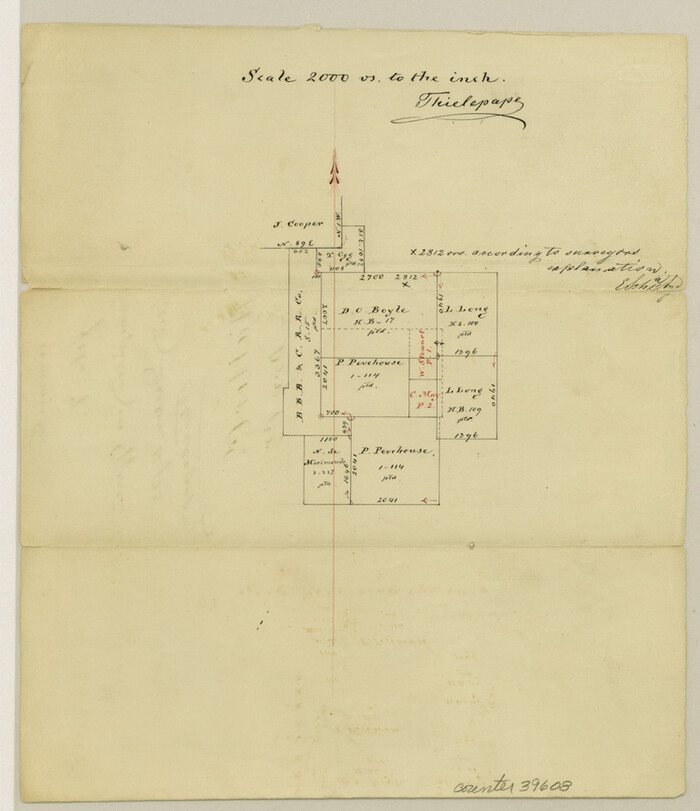

Print $4.00
- Digital $50.00
Waller County Sketch File 7
1873
Size 9.4 x 8.2 inches
Map/Doc 39608
Williamson County Sketch File 12


Print $4.00
- Digital $50.00
Williamson County Sketch File 12
1860
Size 12.6 x 3.4 inches
Map/Doc 40326
Pecos County Rolled Sketch 100
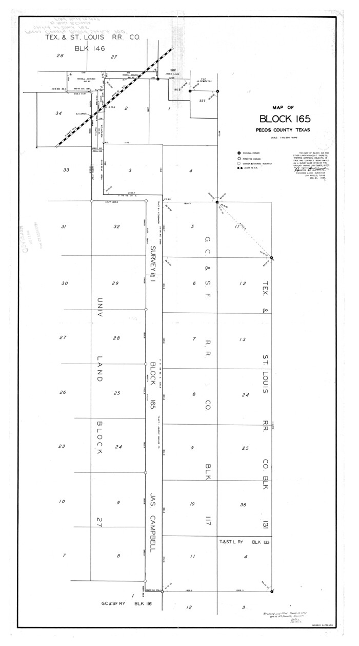

Print $20.00
- Digital $50.00
Pecos County Rolled Sketch 100
1936
Size 45.2 x 25.2 inches
Map/Doc 9712
Montgomery County Working Sketch 6
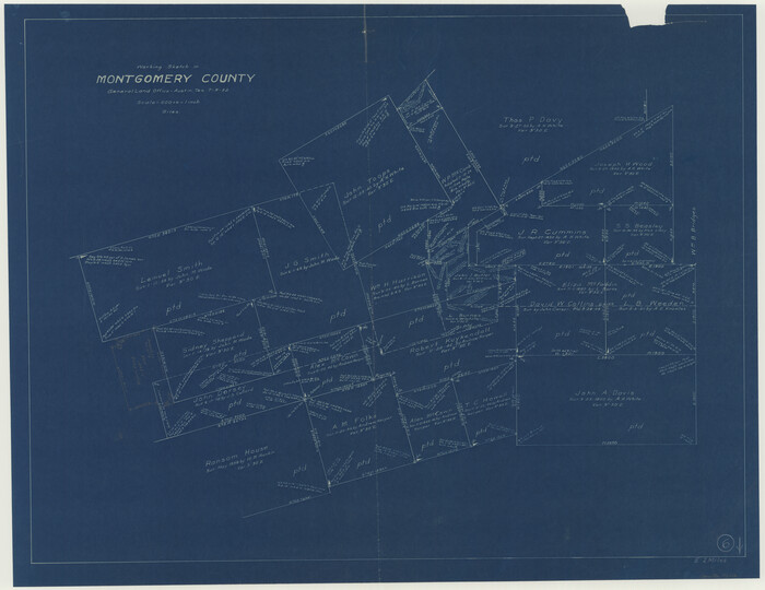

Print $20.00
- Digital $50.00
Montgomery County Working Sketch 6
1932
Size 24.8 x 32.2 inches
Map/Doc 71112
You may also like
San Saba County Boundary File 77a
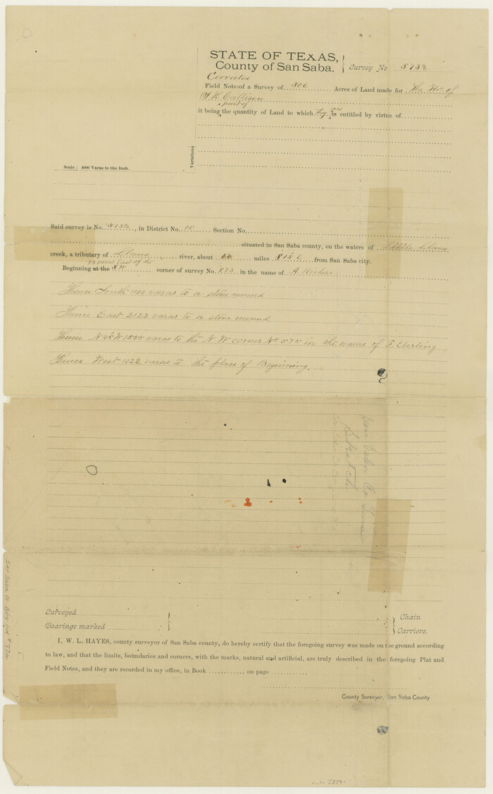

Print $51.00
- Digital $50.00
San Saba County Boundary File 77a
Size 17.3 x 10.8 inches
Map/Doc 58591
Wood County Sketch File 5a
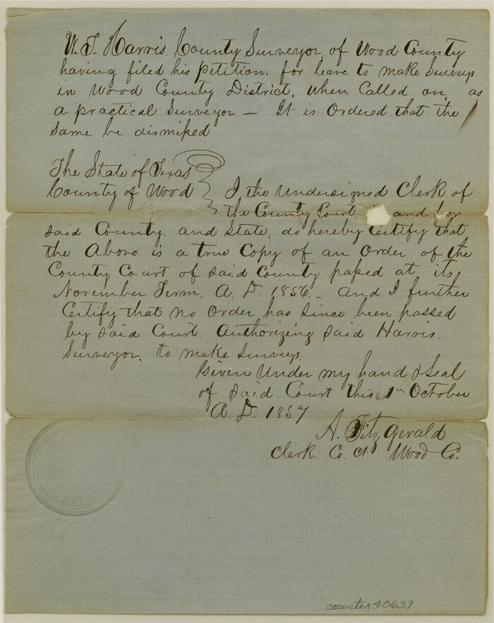

Print $4.00
- Digital $50.00
Wood County Sketch File 5a
1857
Size 10.1 x 8.0 inches
Map/Doc 40639
Harris County Working Sketch 113


Print $20.00
- Digital $50.00
Harris County Working Sketch 113
1982
Size 28.6 x 40.7 inches
Map/Doc 66005
[T. & P. "B" Blocks, Tsp. 1S, Tsp. 2S, Tsp. 3S. And Tsp. 4S]
![89774, [T. & P. "B" Blocks, Tsp. 1S, Tsp. 2S, Tsp. 3S. And Tsp. 4S], Twichell Survey Records](https://historictexasmaps.com/wmedia_w700/maps/89774-1.tif.jpg)
![89774, [T. & P. "B" Blocks, Tsp. 1S, Tsp. 2S, Tsp. 3S. And Tsp. 4S], Twichell Survey Records](https://historictexasmaps.com/wmedia_w700/maps/89774-1.tif.jpg)
Print $40.00
- Digital $50.00
[T. & P. "B" Blocks, Tsp. 1S, Tsp. 2S, Tsp. 3S. And Tsp. 4S]
Size 56.1 x 43.3 inches
Map/Doc 89774
Swisher County Sketch File 7

Print $32.00
- Digital $50.00
Swisher County Sketch File 7
1904
Size 9.0 x 8.4 inches
Map/Doc 37622
Bandera County Boundary File 5
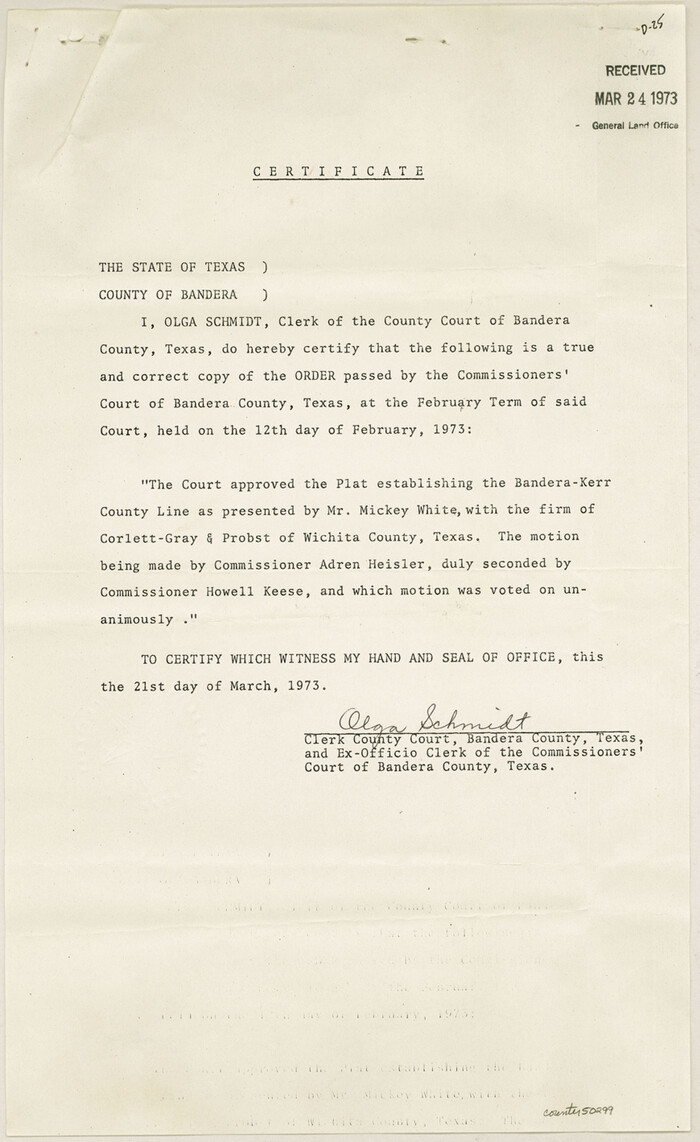

Print $44.00
- Digital $50.00
Bandera County Boundary File 5
Size 14.2 x 8.7 inches
Map/Doc 50299
Angelina County Working Sketch 54
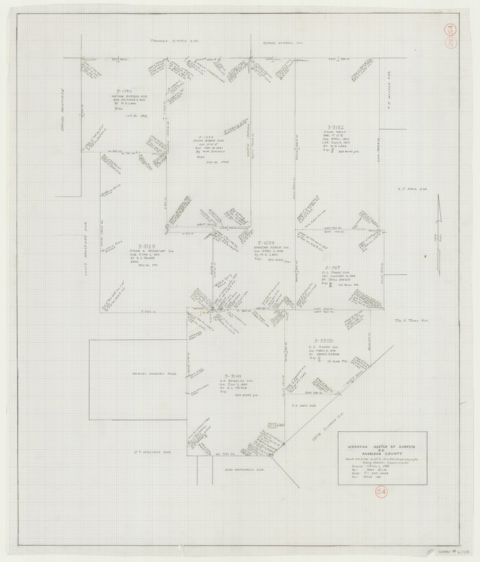

Print $20.00
- Digital $50.00
Angelina County Working Sketch 54
1989
Size 31.6 x 26.9 inches
Map/Doc 67138
Montgomery County Working Sketch 3


Print $20.00
- Digital $50.00
Montgomery County Working Sketch 3
1918
Size 16.5 x 14.1 inches
Map/Doc 71109
Brewster County Rolled Sketch 114


Print $20.00
- Digital $50.00
Brewster County Rolled Sketch 114
1964
Size 11.7 x 18.6 inches
Map/Doc 5266
Grimes County Working Sketch 5


Print $40.00
- Digital $50.00
Grimes County Working Sketch 5
1949
Size 43.6 x 83.2 inches
Map/Doc 63296
Kimble County Working Sketch 92
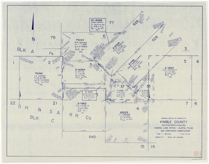

Print $20.00
- Digital $50.00
Kimble County Working Sketch 92
1979
Size 24.0 x 30.6 inches
Map/Doc 70160
Nueces County Sketch File 44


Print $8.00
- Digital $50.00
Nueces County Sketch File 44
1953
Size 11.2 x 8.7 inches
Map/Doc 32637
![298, [Surveys along the Trinity River], General Map Collection](https://historictexasmaps.com/wmedia_w1800h1800/maps/298.tif.jpg)
