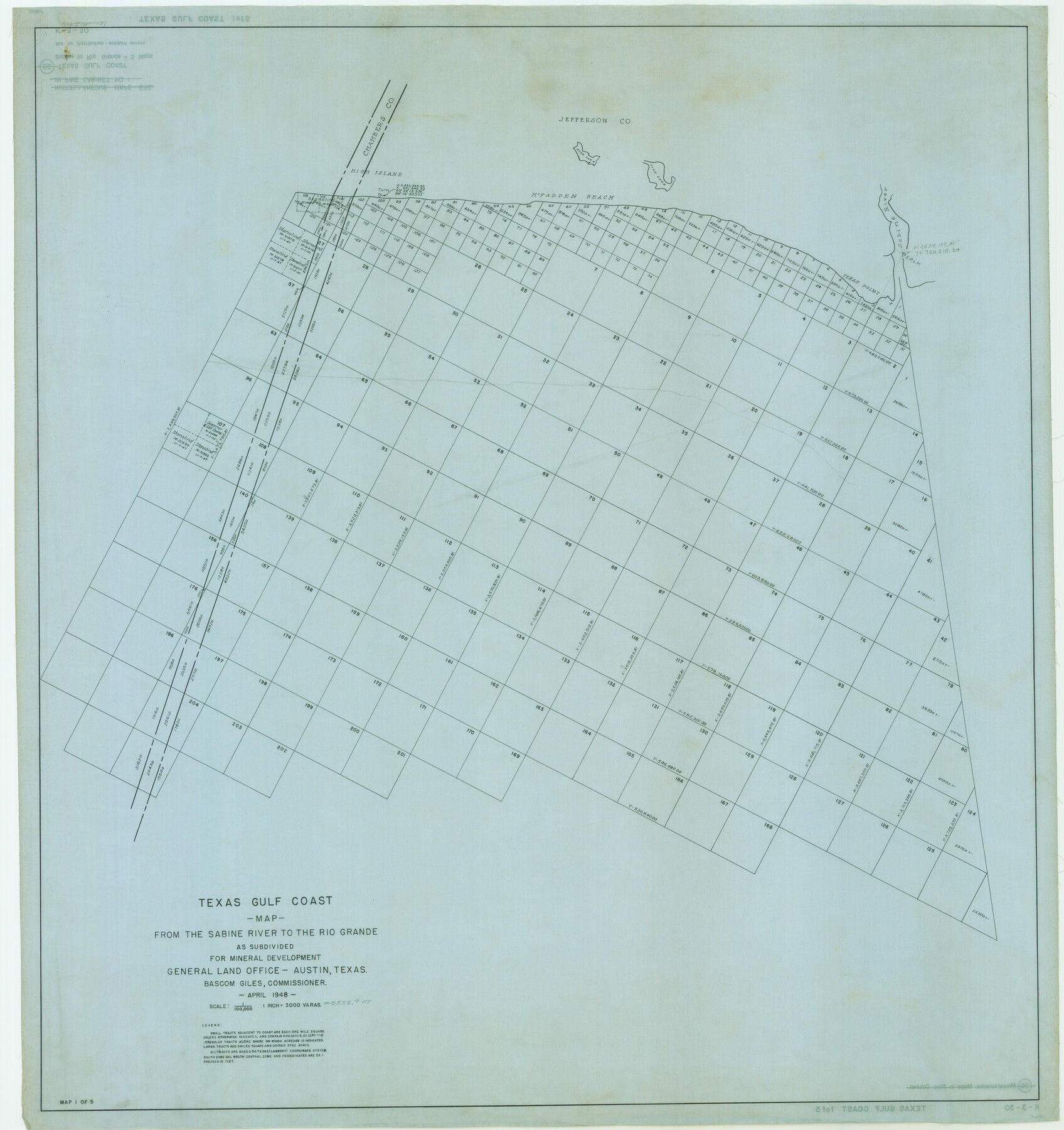
Texas Gulf Coast Map from the Sabine River to the Rio Grande as subdivided for mineral development
K-3-30; K-3-31; K-3-32; K-3-33; K-3-34
-
Map/Doc
2904
-
Collection
General Map Collection
-
Object Dates
1948 (Creation Date)
-
People and Organizations
General Land Office (Publisher)
-
Subjects
Energy Offshore Submerged Area
-
Height x Width
41.6 x 39.2 inches
105.7 x 99.6 cm
-
Comments
Obsolete as of April 1948.
Part of: General Map Collection
Bandera County Working Sketch 36

Print $20.00
- Digital $50.00
Bandera County Working Sketch 36
1966
Size 22.5 x 29.5 inches
Map/Doc 67632
Walker County Working Sketch 4

Print $20.00
- Digital $50.00
Walker County Working Sketch 4
1934
Size 34.9 x 29.7 inches
Map/Doc 72284
Jefferson County Sketch File 32

Print $4.00
- Digital $50.00
Jefferson County Sketch File 32
1900
Size 11.3 x 8.7 inches
Map/Doc 28195
Ward County Working Sketch Graphic Index - sheet B

Print $40.00
- Digital $50.00
Ward County Working Sketch Graphic Index - sheet B
1932
Size 30.5 x 52.5 inches
Map/Doc 76732
Parker County Sketch File 44

Print $6.00
- Digital $50.00
Parker County Sketch File 44
1874
Size 11.0 x 13.5 inches
Map/Doc 33608
Carson County Working Sketch Graphic Index

Print $20.00
- Digital $50.00
Carson County Working Sketch Graphic Index
1932
Size 41.3 x 37.9 inches
Map/Doc 76488
Flight Mission No. BRA-16M, Frame 142, Jefferson County

Print $20.00
- Digital $50.00
Flight Mission No. BRA-16M, Frame 142, Jefferson County
1953
Size 18.5 x 22.2 inches
Map/Doc 85748
Brazos River, Brazos River Sheet 7

Print $6.00
- Digital $50.00
Brazos River, Brazos River Sheet 7
1926
Size 24.1 x 30.6 inches
Map/Doc 65300
Current Miscellaneous File 104

Print $8.00
- Digital $50.00
Current Miscellaneous File 104
1845
Size 11.0 x 16.8 inches
Map/Doc 74677
Newton County Sketch File 6

Print $4.00
- Digital $50.00
Newton County Sketch File 6
1872
Size 12.4 x 7.9 inches
Map/Doc 32372
Jim Hogg County Working Sketch Graphic Index

Print $20.00
- Digital $50.00
Jim Hogg County Working Sketch Graphic Index
1962
Size 40.0 x 28.7 inches
Map/Doc 76596
Medina County Rolled Sketch 18

Print $20.00
- Digital $50.00
Medina County Rolled Sketch 18
Size 33.4 x 25.3 inches
Map/Doc 6751
You may also like
General Highway Map, Hamilton County, Texas

Print $20.00
General Highway Map, Hamilton County, Texas
1940
Size 18.4 x 24.9 inches
Map/Doc 79111
Outer Continental Shelf Leasing Maps (Louisiana Offshore Operations)

Print $20.00
- Digital $50.00
Outer Continental Shelf Leasing Maps (Louisiana Offshore Operations)
1954
Size 16.2 x 16.3 inches
Map/Doc 76107
Liberty County Sketch File 44

Print $2.00
- Digital $50.00
Liberty County Sketch File 44
Size 6.0 x 10.3 inches
Map/Doc 30002
Medina County

Print $40.00
- Digital $50.00
Medina County
1915
Size 50.1 x 42.1 inches
Map/Doc 66924
2nd Chain to Long Reef, Texas

Print $40.00
- Digital $50.00
2nd Chain to Long Reef, Texas
1860
Size 30.9 x 52.6 inches
Map/Doc 69984
Brazoria County Sketch File 23

Print $40.00
- Digital $50.00
Brazoria County Sketch File 23
Size 12.7 x 12.2 inches
Map/Doc 15020
Dawson County Working Sketch 6

Print $20.00
- Digital $50.00
Dawson County Working Sketch 6
1939
Size 43.9 x 42.7 inches
Map/Doc 68550
General Highway Map, Oldham County, Deaf Smith County, Texas

Print $20.00
General Highway Map, Oldham County, Deaf Smith County, Texas
1940
Size 18.3 x 25.2 inches
Map/Doc 79072
Garza County Working Sketch 15

Print $20.00
- Digital $50.00
Garza County Working Sketch 15
1994
Size 32.2 x 26.9 inches
Map/Doc 63162
Flight Mission No. DIX-6P, Frame 135, Aransas County

Print $20.00
- Digital $50.00
Flight Mission No. DIX-6P, Frame 135, Aransas County
1956
Size 19.5 x 23.0 inches
Map/Doc 83841
Presidio County Rolled Sketch 133

Print $20.00
- Digital $50.00
Presidio County Rolled Sketch 133
Size 37.3 x 27.2 inches
Map/Doc 7400
Blanco County Working Sketch 29

Print $40.00
- Digital $50.00
Blanco County Working Sketch 29
1969
Size 52.4 x 33.4 inches
Map/Doc 67389