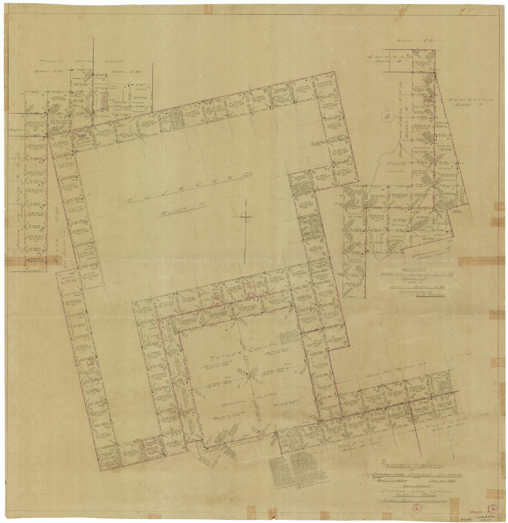
Dawson County Working Sketch 6
-
Map/Doc
68550
-
Collection
General Map Collection
-
Object Dates
12/4/1939 (Creation Date)
-
People and Organizations
William Shirriffs (Draftsman)
-
Counties
Dawson
-
Subjects
Surveying Working Sketch
-
Height x Width
43.9 x 42.7 inches
111.5 x 108.5 cm
-
Scale
1" = 1000 varas
Part of: General Map Collection
Reeves County Rolled Sketch 31

Print $20.00
- Digital $50.00
Reeves County Rolled Sketch 31
Size 21.7 x 27.9 inches
Map/Doc 7500
Wharton County Working Sketch 24

Print $20.00
- Digital $50.00
Wharton County Working Sketch 24
1909
Size 13.3 x 14.2 inches
Map/Doc 72488
A Plat of 23 Miles of the Colorado River
![65651, [Sketch for Mineral Application 1742], General Map Collection](https://historictexasmaps.com/wmedia_w700/maps/65651.tif.jpg)
Print $40.00
- Digital $50.00
A Plat of 23 Miles of the Colorado River
1918
Size 38.3 x 56.7 inches
Map/Doc 65651
Township No. 1 South Range No. 24 West of the Indian Meridian

Print $20.00
- Digital $50.00
Township No. 1 South Range No. 24 West of the Indian Meridian
1875
Size 19.2 x 24.4 inches
Map/Doc 75173
Bell County Sketch File 7

Print $40.00
- Digital $50.00
Bell County Sketch File 7
1850
Size 15.8 x 12.5 inches
Map/Doc 14375
Bandera County Sketch File 22

Print $4.00
- Digital $50.00
Bandera County Sketch File 22
Size 12.6 x 7.9 inches
Map/Doc 14012
Pecos County Sketch File 44

Print $8.00
- Digital $50.00
Pecos County Sketch File 44
Size 13.0 x 10.4 inches
Map/Doc 33743
Crockett County Sketch File 99

Print $14.00
- Digital $50.00
Crockett County Sketch File 99
1925
Size 14.4 x 9.4 inches
Map/Doc 19980
Aransas County Boundary File 6

Print $156.00
- Digital $50.00
Aransas County Boundary File 6
Size 14.1 x 8.5 inches
Map/Doc 49806
Cherokee County Sketch File 11

Print $4.00
- Digital $50.00
Cherokee County Sketch File 11
1852
Size 11.5 x 8.2 inches
Map/Doc 18138
Fisher County Boundary File 3a

Print $20.00
- Digital $50.00
Fisher County Boundary File 3a
Size 25.1 x 26.0 inches
Map/Doc 53444
Tyler County Sketch File 7a

Print $7.00
- Digital $50.00
Tyler County Sketch File 7a
1874
Size 10.3 x 8.1 inches
Map/Doc 38639
You may also like
Sutton County Rolled Sketch 59

Print $40.00
- Digital $50.00
Sutton County Rolled Sketch 59
1960
Size 86.1 x 42.5 inches
Map/Doc 9977
Blanco County Sketch File 50

Print $6.00
- Digital $50.00
Blanco County Sketch File 50
1995
Size 11.5 x 8.8 inches
Map/Doc 14695
Morris County Rolled Sketch 2A

Print $20.00
- Digital $50.00
Morris County Rolled Sketch 2A
Size 22.7 x 17.7 inches
Map/Doc 10227
Map of Bexar County Oil Fields

Print $40.00
Map of Bexar County Oil Fields
1919
Size 37.6 x 49.0 inches
Map/Doc 79307
Henderson County

Print $40.00
- Digital $50.00
Henderson County
1922
Size 32.9 x 62.6 inches
Map/Doc 66862

Colorado County

Print $20.00
- Digital $50.00
Colorado County
1847
Size 23.7 x 31.4 inches
Map/Doc 3424
Starr County Rolled Sketch 2

Print $40.00
- Digital $50.00
Starr County Rolled Sketch 2
1853
Size 31.7 x 48.5 inches
Map/Doc 9938
Haskell County Working Sketch 1

Print $40.00
- Digital $50.00
Haskell County Working Sketch 1
Size 31.0 x 74.5 inches
Map/Doc 66059
Sketch of Maneuver Tract

Print $20.00
- Digital $50.00
Sketch of Maneuver Tract
1870
Size 18.5 x 14.4 inches
Map/Doc 2184
[Surveys along Seco Creek]
![268, [Surveys along Seco Creek], General Map Collection](https://historictexasmaps.com/wmedia_w700/maps/268.tif.jpg)
Print $3.00
- Digital $50.00
[Surveys along Seco Creek]
1847
Size 14.6 x 9.8 inches
Map/Doc 268
Zavala County Rolled Sketch 30

Print $20.00
- Digital $50.00
Zavala County Rolled Sketch 30
Size 18.6 x 19.1 inches
Map/Doc 8331