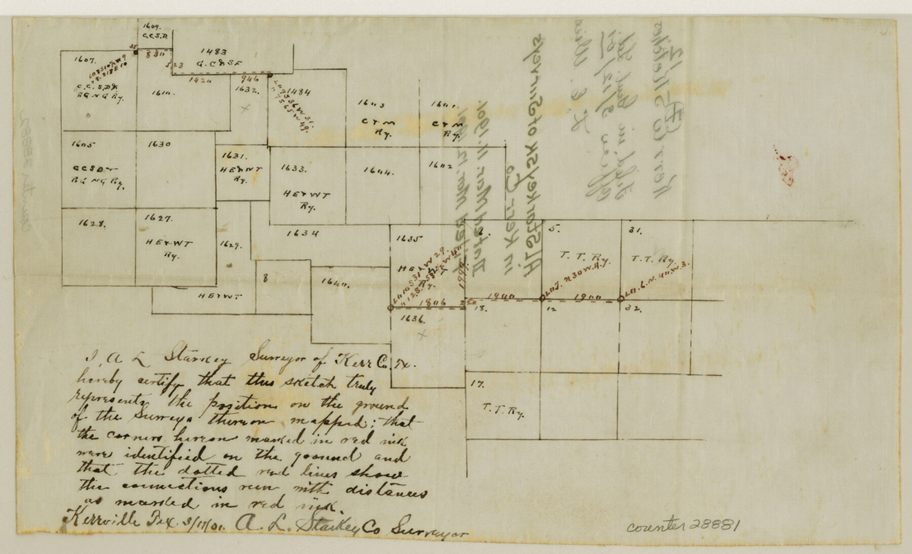
Kerr County Sketch File 12
[Sketch of surveys in Kerr County]
-
Map/Doc
28881
-
Collection
General Map Collection
-
Object Dates
3/11/1901 (Creation Date)
3/12/1901 (File Date)
-
People and Organizations
A.L. Starkey (Surveyor/Engineer)
-
Counties
Kerr
-
Subjects
Surveying Sketch File
-
Height x Width
6.7 x 11.1 inches
17.0 x 28.2 cm
-
Medium
paper, manuscript
Part of: General Map Collection

Glasscock County Sketch File 27

Print $10.00
- Digital $50.00
Glasscock County Sketch File 27
1989
Size 11.3 x 8.8 inches
Map/Doc 24206
Reeves County Working Sketch 21

Print $20.00
- Digital $50.00
Reeves County Working Sketch 21
1964
Size 32.7 x 27.0 inches
Map/Doc 63464
Montgomery County Working Sketch 43

Print $20.00
- Digital $50.00
Montgomery County Working Sketch 43
1956
Size 29.9 x 25.9 inches
Map/Doc 71150
Tarrant County Working Sketch 21

Print $20.00
- Digital $50.00
Tarrant County Working Sketch 21
1999
Size 17.4 x 22.8 inches
Map/Doc 62438
Louisiana and Texas Intracoastal Waterway

Print $20.00
- Digital $50.00
Louisiana and Texas Intracoastal Waterway
1929
Size 13.8 x 19.9 inches
Map/Doc 83341
Atascosa County Boundary File 4

Print $80.00
- Digital $50.00
Atascosa County Boundary File 4
Size 30.6 x 59.2 inches
Map/Doc 50177
Wichita County Working Sketch 29

Print $20.00
- Digital $50.00
Wichita County Working Sketch 29
2014
Size 16.7 x 20.0 inches
Map/Doc 93688
Jim Hogg County Working Sketch 10

Print $20.00
- Digital $50.00
Jim Hogg County Working Sketch 10
Size 18.8 x 15.6 inches
Map/Doc 66596
Fort Bend County Working Sketch 13

Print $20.00
- Digital $50.00
Fort Bend County Working Sketch 13
1946
Size 29.0 x 29.3 inches
Map/Doc 69218
[Surveys in Tyler County]
![352, [Surveys in Tyler County], General Map Collection](https://historictexasmaps.com/wmedia_w700/maps/352.tif.jpg)
Print $2.00
- Digital $50.00
[Surveys in Tyler County]
1847
Size 8.3 x 5.2 inches
Map/Doc 352
Louisiana and Texas Intracoastal Waterway Proposed Extension to Rio Grande Valley

Print $20.00
- Digital $50.00
Louisiana and Texas Intracoastal Waterway Proposed Extension to Rio Grande Valley
1941
Size 28.1 x 41.1 inches
Map/Doc 61891
You may also like
Edwards County Sketch File 9

Print $20.00
- Digital $50.00
Edwards County Sketch File 9
Size 16.9 x 37.8 inches
Map/Doc 10443
Asher and Adams' Texas - Western Portion

Print $20.00
- Digital $50.00
Asher and Adams' Texas - Western Portion
1874
Size 24.6 x 18.1 inches
Map/Doc 93787
Record of Translations of Titles - DeWitt's Colony, Vol. 4

Record of Translations of Titles - DeWitt's Colony, Vol. 4
1872
Map/Doc 94549
Kimble County Working Sketch 23

Print $20.00
- Digital $50.00
Kimble County Working Sketch 23
1930
Size 21.6 x 18.2 inches
Map/Doc 70091
Erath County Sketch File 19

Print $4.00
- Digital $50.00
Erath County Sketch File 19
1891
Size 8.4 x 12.9 inches
Map/Doc 22298
Cass County Working Sketch 21

Print $20.00
- Digital $50.00
Cass County Working Sketch 21
1961
Size 24.3 x 37.4 inches
Map/Doc 67924
Anderson County Working Sketch 3

Print $20.00
- Digital $50.00
Anderson County Working Sketch 3
Size 15.4 x 14.1 inches
Map/Doc 67002
Briscoe County Rolled Sketch 17

Print $20.00
- Digital $50.00
Briscoe County Rolled Sketch 17
1946
Size 36.7 x 28.7 inches
Map/Doc 5331
Trinity River, Flagg Lake Sheet/Cedar Creek

Print $20.00
- Digital $50.00
Trinity River, Flagg Lake Sheet/Cedar Creek
1927
Size 37.4 x 30.7 inches
Map/Doc 65219
Crosby County

Print $20.00
- Digital $50.00
Crosby County
1892
Size 13.2 x 15.4 inches
Map/Doc 90495
Culberson County Working Sketch 81

Print $40.00
- Digital $50.00
Culberson County Working Sketch 81
1980
Size 61.5 x 43.5 inches
Map/Doc 68535
[Plat of Colorado River Survey, McCulloch County]
![2462, [Plat of Colorado River Survey, McCulloch County], General Map Collection](https://historictexasmaps.com/wmedia_w700/maps/2462-1.tif.jpg)
Print $40.00
- Digital $50.00
[Plat of Colorado River Survey, McCulloch County]
1918
Size 40.3 x 159.2 inches
Map/Doc 2462