[Sketch for Mineral Application 33721 - 33725 Incl. - Padre and Mustang Island]
K-1-13 (a-l)
-
Map/Doc
2875
-
Collection
General Map Collection
-
Object Dates
1942 (Creation Date)
-
People and Organizations
J.S. Boyles (Surveyor/Engineer)
-
Counties
Cameron Willacy Kleberg Nueces Kenedy
-
Subjects
Energy Offshore Submerged Area
-
Height x Width
30.9 x 22.0 inches
78.5 x 55.9 cm
Part of: General Map Collection
Map of Tom Green County
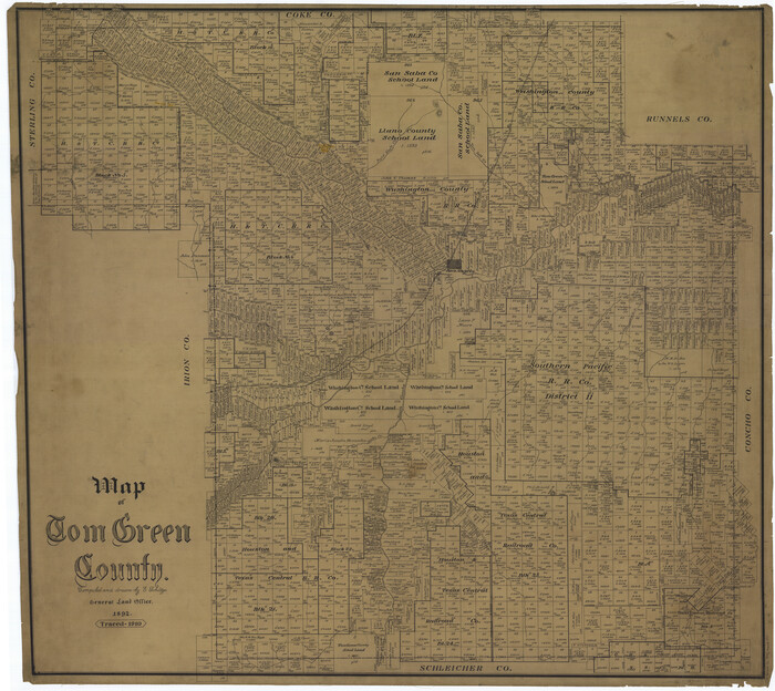

Print $40.00
- Digital $50.00
Map of Tom Green County
1892
Size 42.9 x 48.2 inches
Map/Doc 63069
Flight Mission No. BRA-8M, Frame 71, Jefferson County


Print $20.00
- Digital $50.00
Flight Mission No. BRA-8M, Frame 71, Jefferson County
1953
Size 18.7 x 22.3 inches
Map/Doc 85591
Duval County Sketch File 8a
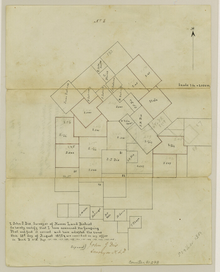

Print $4.00
- Digital $50.00
Duval County Sketch File 8a
1875
Size 10.9 x 8.8 inches
Map/Doc 21298
McMullen County Rolled Sketch 20
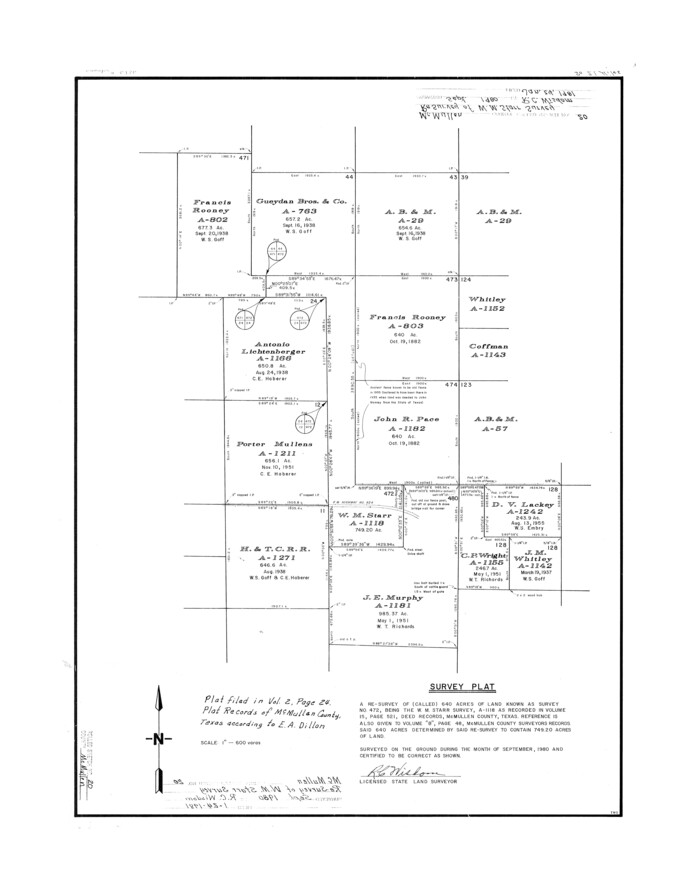

Print $20.00
- Digital $50.00
McMullen County Rolled Sketch 20
Size 27.7 x 21.7 inches
Map/Doc 6736
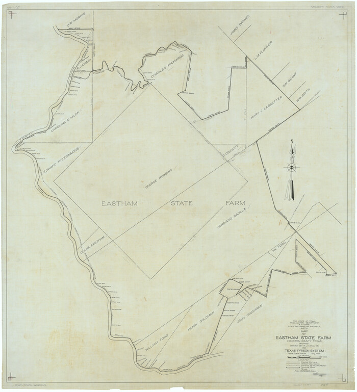
Map of Eastham State Farm, Houston County, Texas

Print $20.00
- Digital $50.00
Map of Eastham State Farm, Houston County, Texas
Size 35.7 x 32.5 inches
Map/Doc 62987
Falls County Sketch File 32


Print $20.00
- Digital $50.00
Falls County Sketch File 32
Size 36.3 x 24.7 inches
Map/Doc 11468
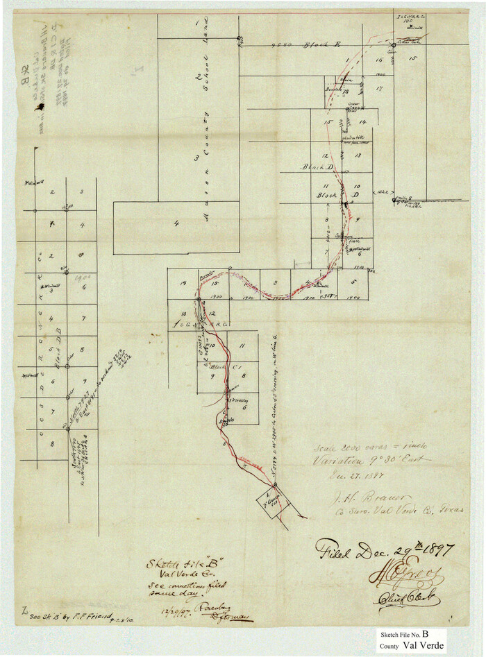
Val Verde County Sketch File B

Print $28.00
- Digital $50.00
Val Verde County Sketch File B
1897
Size 20.2 x 15.0 inches
Map/Doc 12542
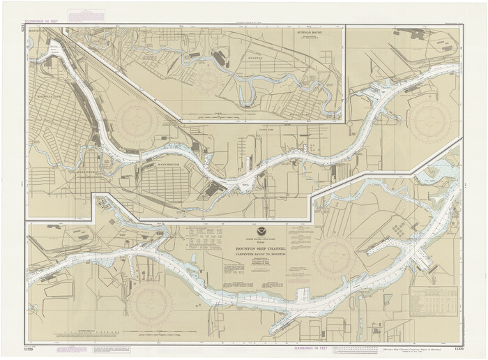
Houston Ship Channel, Alexander Island to Carpenter Bayou

Print $40.00
- Digital $50.00
Houston Ship Channel, Alexander Island to Carpenter Bayou
1982
Size 35.7 x 49.4 inches
Map/Doc 69914
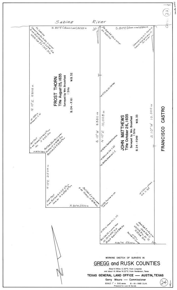
Gregg County Working Sketch 24

Print $20.00
- Digital $50.00
Gregg County Working Sketch 24
1985
Size 26.6 x 16.3 inches
Map/Doc 63291
Blanco County Working Sketch 13
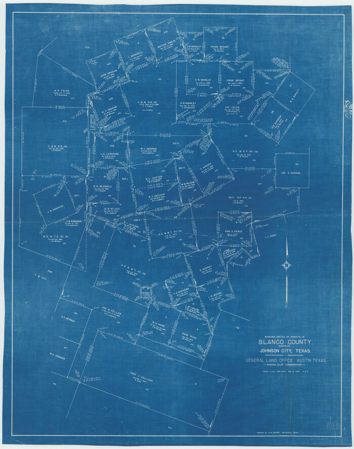

Print $20.00
- Digital $50.00
Blanco County Working Sketch 13
1948
Size 42.6 x 33.6 inches
Map/Doc 67373
Roberts County Working Sketch 4


Print $20.00
- Digital $50.00
Roberts County Working Sketch 4
1945
Size 37.1 x 32.8 inches
Map/Doc 63530
Harris County Working Sketch 91
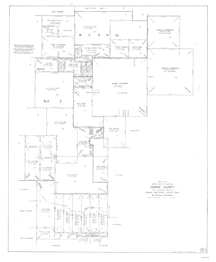

Print $20.00
- Digital $50.00
Harris County Working Sketch 91
1973
Size 44.6 x 36.9 inches
Map/Doc 65983
You may also like
Hutchinson County Sketch File 23


Print $22.00
- Digital $50.00
Hutchinson County Sketch File 23
1913
Size 11.2 x 8.8 inches
Map/Doc 27245
Palo Pinto County Boundary File 1


Print $4.00
- Digital $50.00
Palo Pinto County Boundary File 1
Size 12.8 x 8.4 inches
Map/Doc 57789
General Highway Map, Gray County, Texas


Print $20.00
General Highway Map, Gray County, Texas
1961
Size 18.1 x 24.7 inches
Map/Doc 79483
Map of Titus County


Print $20.00
- Digital $50.00
Map of Titus County
1857
Size 23.8 x 34.3 inches
Map/Doc 4857
Chambers County Working Sketch 14
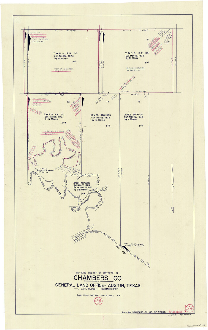

Print $20.00
- Digital $50.00
Chambers County Working Sketch 14
1957
Size 30.3 x 19.0 inches
Map/Doc 67997
Wharton County Working Sketch 17
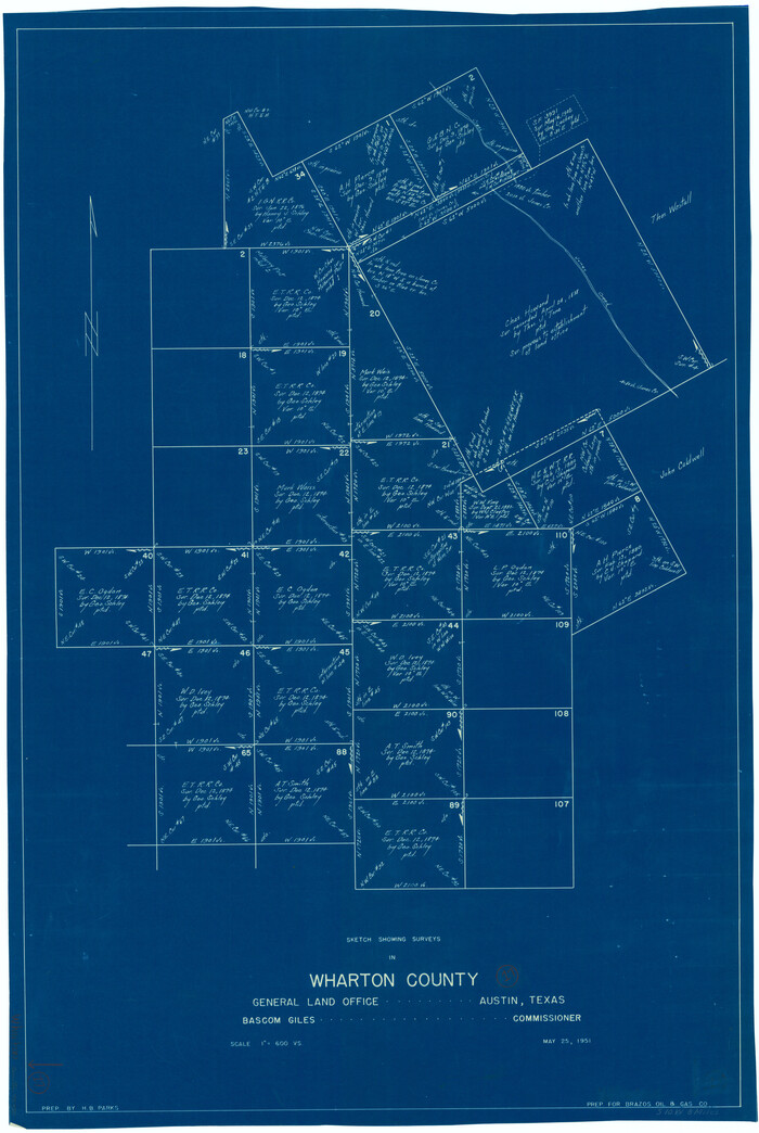

Print $20.00
- Digital $50.00
Wharton County Working Sketch 17
1951
Size 36.1 x 24.2 inches
Map/Doc 72481
Cochran County Sketch File A


Print $20.00
- Digital $50.00
Cochran County Sketch File A
1923
Size 21.2 x 12.5 inches
Map/Doc 11102
Connected Map of Austin's Colony (1892 tracing)


Print $40.00
- Digital $50.00
Connected Map of Austin's Colony (1892 tracing)
1837
Size 90.8 x 46.7 inches
Map/Doc 93358
Map of Bandera County


Print $20.00
- Digital $50.00
Map of Bandera County
1878
Size 19.3 x 29.4 inches
Map/Doc 3272
Cooke County Sketch File 8

Print $4.00
- Digital $50.00
Cooke County Sketch File 8
Size 8.2 x 8.4 inches
Map/Doc 19235
Johnson County Working Sketch 14


Print $20.00
- Digital $50.00
Johnson County Working Sketch 14
1974
Size 37.3 x 31.7 inches
Map/Doc 66627
![2875, [Sketch for Mineral Application 33721 - 33725 Incl. - Padre and Mustang Island], General Map Collection](https://historictexasmaps.com/wmedia_w1800h1800/maps/2875.tif.jpg)
