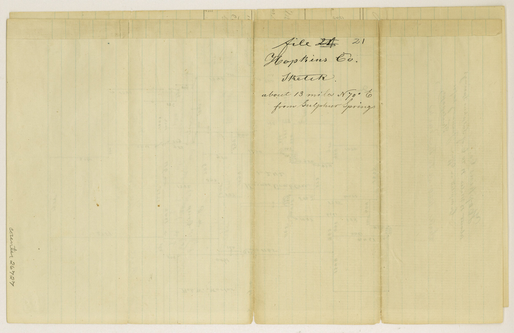
Hopkins County Sketch File 21
[Sketch of surveys northeast of Sulphur Springs]
-
Map/Doc
26727
-
Collection
General Map Collection
-
Object Dates
1/20/1871 (Creation Date)
1/20/1871 (File Date)
-
Counties
Hopkins
-
Subjects
Surveying Sketch File
-
Height x Width
8.1 x 12.5 inches
20.6 x 31.8 cm
-
Medium
paper, manuscript
-
Scale
1" = 1000 varas
Part of: General Map Collection
South Part Brewster Co.

Print $40.00
- Digital $50.00
South Part Brewster Co.
1915
Size 36.0 x 51.2 inches
Map/Doc 66733
Garza County Working Sketch 13

Print $20.00
- Digital $50.00
Garza County Working Sketch 13
1956
Size 19.0 x 12.7 inches
Map/Doc 63160
Map of Palo Pinto County Texas

Print $20.00
- Digital $50.00
Map of Palo Pinto County Texas
1879
Size 22.0 x 17.3 inches
Map/Doc 3933
Pecos County Working Sketch 40

Print $20.00
- Digital $50.00
Pecos County Working Sketch 40
1941
Size 29.9 x 39.7 inches
Map/Doc 71512
Coke County Rolled Sketch 5

Print $20.00
- Digital $50.00
Coke County Rolled Sketch 5
1948
Size 25.5 x 23.6 inches
Map/Doc 5505
Galveston County NRC Article 33.136 Sketch 83

Print $52.00
- Digital $50.00
Galveston County NRC Article 33.136 Sketch 83
2016
Size 22.5 x 34.0 inches
Map/Doc 94968
Hale County Sketch File 18

Print $4.00
- Digital $50.00
Hale County Sketch File 18
1903
Size 11.0 x 8.6 inches
Map/Doc 24749

Limestone County Working Sketch 7

Print $20.00
- Digital $50.00
Limestone County Working Sketch 7
1922
Size 33.2 x 17.0 inches
Map/Doc 70557
Aransas County Boundary File 4

Print $30.00
- Digital $50.00
Aransas County Boundary File 4
Size 9.2 x 7.8 inches
Map/Doc 49790

Winkler County Working Sketch 5

Print $40.00
- Digital $50.00
Winkler County Working Sketch 5
1957
Size 31.1 x 131.9 inches
Map/Doc 72599
You may also like
Briscoe County Boundary File 7

Print $6.00
- Digital $50.00
Briscoe County Boundary File 7
Size 10.6 x 8.1 inches
Map/Doc 50806
Val Verde County Sketch File Z11

Print $40.00
- Digital $50.00
Val Verde County Sketch File Z11
1895
Size 17.6 x 12.7 inches
Map/Doc 39138
Menard County Working Sketch 4

Print $20.00
- Digital $50.00
Menard County Working Sketch 4
1914
Size 19.8 x 16.2 inches
Map/Doc 70951
Dickens County Rolled Sketch P

Print $20.00
- Digital $50.00
Dickens County Rolled Sketch P
1917
Size 41.2 x 36.9 inches
Map/Doc 8782
Montgomery County Working Sketch 43

Print $20.00
- Digital $50.00
Montgomery County Working Sketch 43
1956
Size 29.9 x 25.9 inches
Map/Doc 71150
Glasscock County Working Sketch 12

Print $40.00
- Digital $50.00
Glasscock County Working Sketch 12
1971
Size 51.2 x 39.0 inches
Map/Doc 63185
Flake Addition a Subdivision of SE Part of NE Quarter Section 4, Block O

Print $20.00
- Digital $50.00
Flake Addition a Subdivision of SE Part of NE Quarter Section 4, Block O
Size 27.4 x 19.5 inches
Map/Doc 92823
Orange County Working Sketch 8

Print $20.00
- Digital $50.00
Orange County Working Sketch 8
1922
Size 20.7 x 24.3 inches
Map/Doc 71340
Duval County Sketch File 35b

Print $6.00
- Digital $50.00
Duval County Sketch File 35b
1935
Size 14.4 x 8.8 inches
Map/Doc 21374
Township No. 5 South Range No. 14 West of the Indian Meridian

Print $4.00
- Digital $50.00
Township No. 5 South Range No. 14 West of the Indian Meridian
1875
Size 17.8 x 22.8 inches
Map/Doc 75147
General Highway Map, Yoakum County, Texas

Print $20.00
General Highway Map, Yoakum County, Texas
1940
Size 18.3 x 24.9 inches
Map/Doc 79285
Presidio County Sketch File 57

Print $8.00
- Digital $50.00
Presidio County Sketch File 57
1938
Size 14.3 x 8.9 inches
Map/Doc 34624