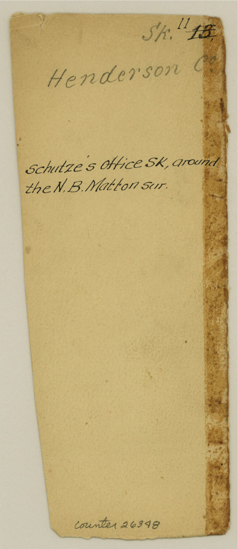
Henderson County Sketch File 11
[Jacket only]
-
Map/Doc
26348
-
Collection
General Map Collection
-
People and Organizations
Schutze (Surveyor/Engineer)
-
Counties
Henderson
-
Subjects
Surveying Sketch File
-
Height x Width
8.5 x 3.7 inches
21.6 x 9.4 cm
-
Medium
paper, manuscript
Part of: General Map Collection
City of Austin, Texas - Height and Area adopted by City Council

Print $20.00
- Digital $50.00
City of Austin, Texas - Height and Area adopted by City Council
Size 42.5 x 28.6 inches
Map/Doc 95712
Township 11 North Range 16 West, South Western District, Louisiana

Print $20.00
- Digital $50.00
Township 11 North Range 16 West, South Western District, Louisiana
1834
Size 19.7 x 24.7 inches
Map/Doc 65869
Val Verde County Rolled Sketch 38

Print $20.00
- Digital $50.00
Val Verde County Rolled Sketch 38
Size 29.8 x 19.7 inches
Map/Doc 8114
Pecos County Working Sketch 91a

Print $40.00
- Digital $50.00
Pecos County Working Sketch 91a
1965
Size 78.9 x 32.5 inches
Map/Doc 71563
Duval County Sketch File 27

Print $6.00
- Digital $50.00
Duval County Sketch File 27
1919
Size 11.0 x 11.8 inches
Map/Doc 21334
Colorado County Sketch File 16a

Print $4.00
- Digital $50.00
Colorado County Sketch File 16a
Size 12.7 x 8.1 inches
Map/Doc 18947
Andrews County Sketch File 5

Print $4.00
- Digital $50.00
Andrews County Sketch File 5
1936
Size 11.8 x 8.8 inches
Map/Doc 12823
La Salle County Rolled Sketch 5

Print $20.00
- Digital $50.00
La Salle County Rolled Sketch 5
1937
Size 17.8 x 27.4 inches
Map/Doc 6570
Stephens County Sketch File 5

Print $6.00
- Digital $50.00
Stephens County Sketch File 5
Size 10.0 x 13.3 inches
Map/Doc 37019
Northeast Part of Webb County

Print $40.00
- Digital $50.00
Northeast Part of Webb County
1986
Size 37.7 x 50.0 inches
Map/Doc 95668
Kinney County Sketch File 25

Print $20.00
- Digital $50.00
Kinney County Sketch File 25
1927
Size 19.1 x 18.9 inches
Map/Doc 11944
Red River County Sketch File 17

Print $26.00
- Digital $50.00
Red River County Sketch File 17
1868
Size 12.8 x 8.2 inches
Map/Doc 35141
You may also like
Brewster County Rolled Sketch 59

Print $20.00
- Digital $50.00
Brewster County Rolled Sketch 59
1938
Size 32.8 x 45.2 inches
Map/Doc 8483
Crockett County Rolled Sketch 5

Print $40.00
- Digital $50.00
Crockett County Rolled Sketch 5
Size 25.0 x 63.0 inches
Map/Doc 8689
Collin County Boundary File 1

Print $8.00
- Digital $50.00
Collin County Boundary File 1
Size 12.7 x 8.1 inches
Map/Doc 51678
Nueces County Sketch File 3

Print $40.00
- Digital $50.00
Nueces County Sketch File 3
1847
Size 12.5 x 15.1 inches
Map/Doc 32503
Flight Mission No. DQO-1K, Frame 155, Galveston County

Print $20.00
- Digital $50.00
Flight Mission No. DQO-1K, Frame 155, Galveston County
1952
Size 18.9 x 22.5 inches
Map/Doc 85008
[Block Y2 and Part of Block 1, B. & B.]
![91169, [Block Y2 and Part of Block 1, B. & B.], Twichell Survey Records](https://historictexasmaps.com/wmedia_w700/maps/91169-1.tif.jpg)
Print $20.00
- Digital $50.00
[Block Y2 and Part of Block 1, B. & B.]
Size 26.2 x 17.6 inches
Map/Doc 91169
Anderson County Working Sketch 37

Print $20.00
- Digital $50.00
Anderson County Working Sketch 37
1984
Size 18.2 x 24.4 inches
Map/Doc 67037
Williamson County Sketch File 5

Print $13.00
- Digital $50.00
Williamson County Sketch File 5
1847
Size 8.2 x 11.2 inches
Map/Doc 40306
Red River County Sketch File 1a

Print $4.00
- Digital $50.00
Red River County Sketch File 1a
1854
Size 12.7 x 8.0 inches
Map/Doc 35093
Chart of the Harbour of San [Luis]
![72763, Chart of the Harbour of San [Luis], General Map Collection](https://historictexasmaps.com/wmedia_w700/maps/72763.tif.jpg)
Print $20.00
- Digital $50.00
Chart of the Harbour of San [Luis]
1846
Size 27.7 x 18.3 inches
Map/Doc 72763
Shackelford County Boundary File 1

Print $17.00
- Digital $50.00
Shackelford County Boundary File 1
Size 14.0 x 8.7 inches
Map/Doc 58625
Polk County Working Sketch 4

Print $20.00
- Digital $50.00
Polk County Working Sketch 4
1925
Size 46.3 x 42.6 inches
Map/Doc 71619