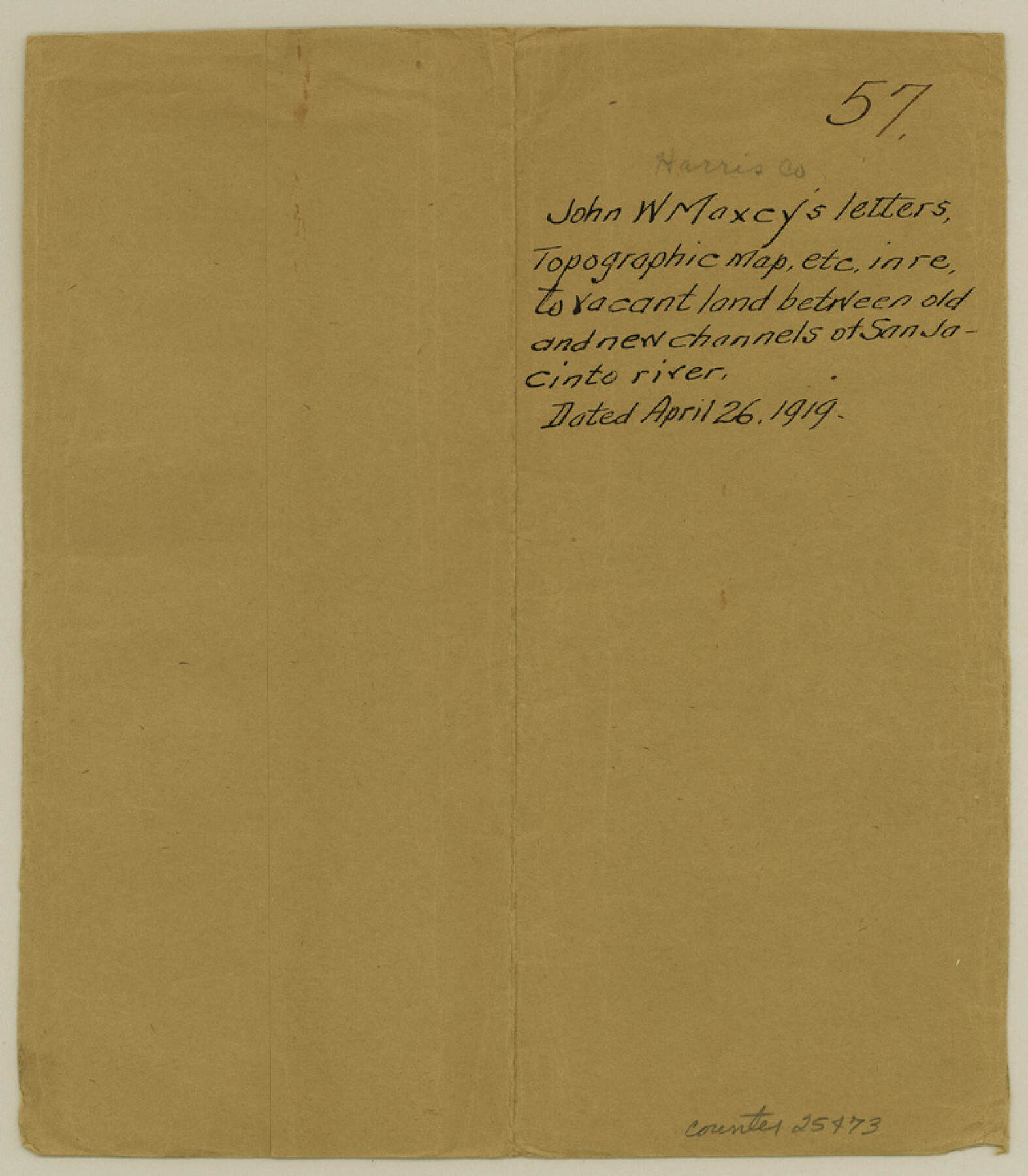
Harris County Sketch File 57
[Letters and topographic map regarding vacant land between old and new channels of the San Jacinto River]
-
Map/Doc
25473
-
Collection
General Map Collection
-
Object Dates
1919/4/26 (Creation Date)
1919/4/26 (Correspondence Date)
1919/5/3 (Correspondence Date)
-
People and Organizations
Jno. W. Maxcy (Surveyor/Engineer)
S.T. Penic (Draftsman)
T.P. Pendleton (Draftsman)
-
Counties
Harris
-
Subjects
Surveying Sketch File
-
Height x Width
8.8 x 7.7 inches
22.4 x 19.6 cm
-
Medium
multi-page, multi-format
-
Scale
1:24000
-
Features
Lynchburg
Carpenter's Bayou
Santa Anna
Santa Anna Lake
Tory Hill
Crystal Lake
San Jacinto Battlefield
Buffalo Bayou
Burnett Bay
Houston-Galveston Ship Channel
Carpenter's Bayou School
Lynchburg School
Hog Island
Lost Lake
Market Street Road
Sheldon Road
Old River
San Jacinto River
Crosby Road
Diamond Island
Part of: General Map Collection
Flight Mission No. BQR-12K, Frame 46, Brazoria County

Print $20.00
- Digital $50.00
Flight Mission No. BQR-12K, Frame 46, Brazoria County
1952
Size 18.8 x 22.4 inches
Map/Doc 84061
Austin County Sketch File 6b

Print $50.00
- Digital $50.00
Austin County Sketch File 6b
1894
Size 11.3 x 8.6 inches
Map/Doc 13872
Neches River, Blackburn Bridge Sheet

Print $4.00
- Digital $50.00
Neches River, Blackburn Bridge Sheet
1938
Size 27.6 x 20.5 inches
Map/Doc 65083
Colorado County Working Sketch 35

Print $20.00
- Digital $50.00
Colorado County Working Sketch 35
Size 19.8 x 15.8 inches
Map/Doc 76065
Texas, Matagorda Bay, Matagorda Peninsula, Central Section

Print $20.00
- Digital $50.00
Texas, Matagorda Bay, Matagorda Peninsula, Central Section
1933
Size 28.3 x 42.7 inches
Map/Doc 69987
[Capitol Leagues in Oldham County]
![4506, [Capitol Leagues in Oldham County], General Map Collection](https://historictexasmaps.com/wmedia_w700/maps/4506-1.tif.jpg)
Print $20.00
- Digital $50.00
[Capitol Leagues in Oldham County]
1918
Size 37.9 x 30.4 inches
Map/Doc 4506
Nueces County Rolled Sketch 91

Print $79.00
Nueces County Rolled Sketch 91
1983
Size 24.6 x 37.2 inches
Map/Doc 7017
Texas Gulf Coast, from the Sabine River to the Rio Grande as Subdivided for Mineral Development; Galveston, Brazoria and Matagorda Counties

Print $40.00
- Digital $50.00
Texas Gulf Coast, from the Sabine River to the Rio Grande as Subdivided for Mineral Development; Galveston, Brazoria and Matagorda Counties
1976
Size 43.8 x 69.3 inches
Map/Doc 1938
Marion County Sketch File 1a

Print $3.00
- Digital $50.00
Marion County Sketch File 1a
1867
Size 17.4 x 7.7 inches
Map/Doc 30559
Ochiltree County Sketch File 6

Print $20.00
- Digital $50.00
Ochiltree County Sketch File 6
1930
Size 9.5 x 32.7 inches
Map/Doc 42203
Jeff Davis County Working Sketch 16

Print $20.00
- Digital $50.00
Jeff Davis County Working Sketch 16
1954
Size 19.4 x 17.3 inches
Map/Doc 66511
Edwards County

Print $20.00
- Digital $50.00
Edwards County
1893
Size 30.8 x 33.1 inches
Map/Doc 3507
You may also like
Val Verde County Working Sketch 54

Print $20.00
- Digital $50.00
Val Verde County Working Sketch 54
1956
Size 24.0 x 20.4 inches
Map/Doc 72189
Hill County Sketch File 4 1/2

Print $4.00
- Digital $50.00
Hill County Sketch File 4 1/2
1859
Size 8.8 x 8.1 inches
Map/Doc 26468
United States - Gulf Coast - From Latitude 26° 33' to the Rio Grande Texas

Print $20.00
- Digital $50.00
United States - Gulf Coast - From Latitude 26° 33' to the Rio Grande Texas
1918
Size 27.7 x 18.2 inches
Map/Doc 72850
University Land Field Notes for Blocks 19 and 20 in Pecos County

University Land Field Notes for Blocks 19 and 20 in Pecos County
Map/Doc 81724

Montgomery County Working Sketch 42

Print $20.00
- Digital $50.00
Montgomery County Working Sketch 42
1956
Size 21.3 x 32.8 inches
Map/Doc 71149
Flight Mission No. CRC-6R, Frame 38, Chambers County

Print $20.00
- Digital $50.00
Flight Mission No. CRC-6R, Frame 38, Chambers County
1956
Size 18.7 x 22.4 inches
Map/Doc 84971
Shackelford County Boundary File 4

Print $2.00
- Digital $50.00
Shackelford County Boundary File 4
Size 6.6 x 8.8 inches
Map/Doc 58660
El Paso County Sketch File 35 (1)

Print $8.00
- Digital $50.00
El Paso County Sketch File 35 (1)
Size 13.0 x 8.3 inches
Map/Doc 22166
Comanche County Sketch File 16

Print $6.00
- Digital $50.00
Comanche County Sketch File 16
Size 11.8 x 11.5 inches
Map/Doc 19082
Hutchinson County Working Sketch Graphic Index - sheet 2

Print $20.00
- Digital $50.00
Hutchinson County Working Sketch Graphic Index - sheet 2
1922
Size 43.8 x 36.7 inches
Map/Doc 76587
Coke County Working Sketch 17

Print $20.00
- Digital $50.00
Coke County Working Sketch 17
1948
Size 18.2 x 19.4 inches
Map/Doc 68054