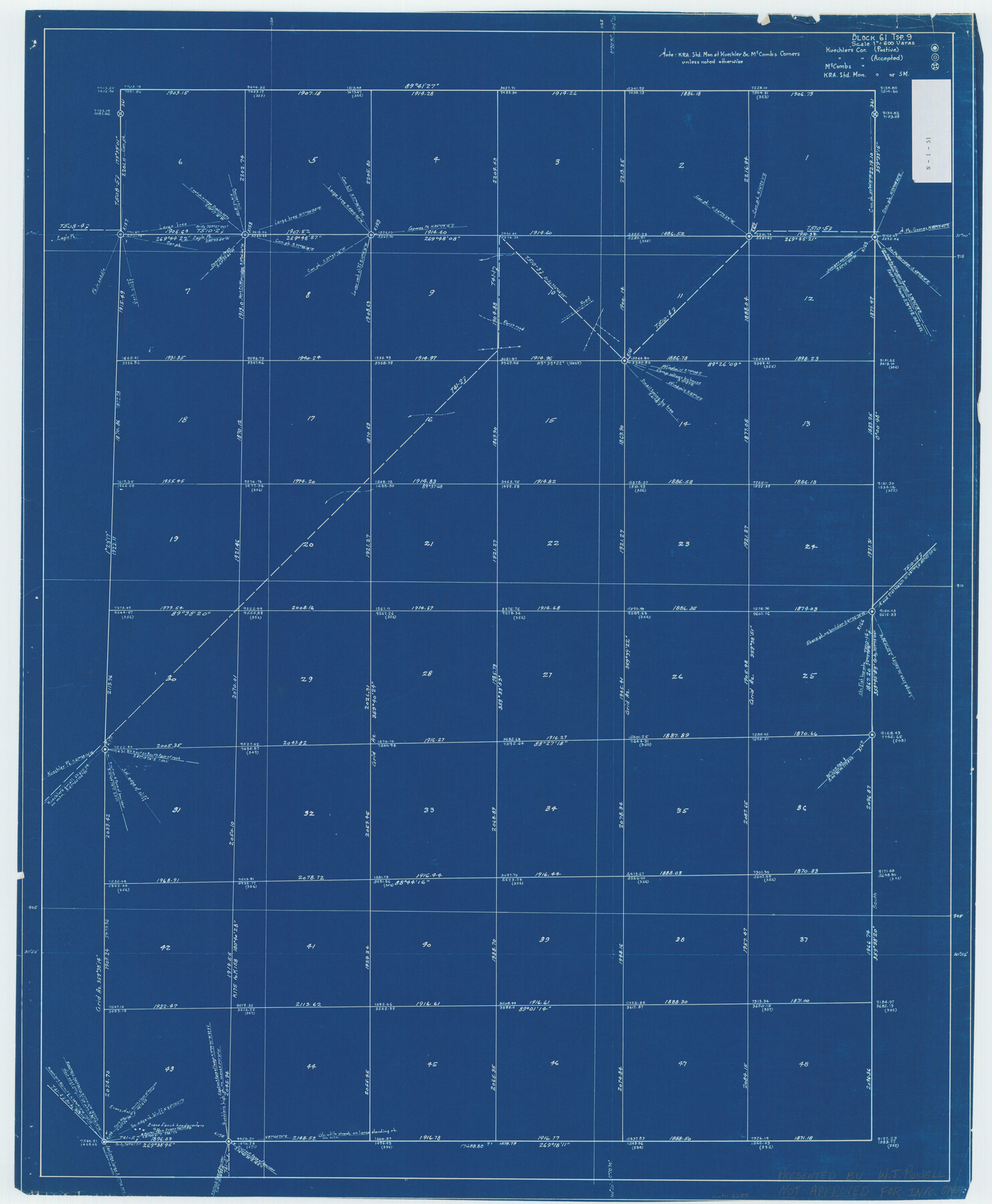
Surveys in Reeves and Culberson Counties, Texas and Pacific Railroad Company, Blocks 58, 59, 60, and 61
-
Map/Doc
2250
-
Collection
General Map Collection
-
Object Dates
1937 (Creation Date)
-
People and Organizations
W.J. Powell (Surveyor/Engineer)
-
Counties
Culberson
-
Height x Width
30.7 x 25.3 inches
78.0 x 64.3 cm
-
Medium
blueprint
-
Scale
600 varas
-
Comments
Construction not approved.
Part of: General Map Collection
Map of Terry County

Print $20.00
- Digital $50.00
Map of Terry County
1902
Size 44.3 x 40.0 inches
Map/Doc 63062
Flight Mission No. DQN-2K, Frame 145, Calhoun County

Print $20.00
- Digital $50.00
Flight Mission No. DQN-2K, Frame 145, Calhoun County
1953
Size 18.9 x 22.7 inches
Map/Doc 84314
Webb County Rolled Sketch 33

Print $20.00
- Digital $50.00
Webb County Rolled Sketch 33
1939
Size 22.8 x 23.9 inches
Map/Doc 8189
Culberson County Working Sketch 9

Print $20.00
- Digital $50.00
Culberson County Working Sketch 9
1915
Size 41.5 x 35.9 inches
Map/Doc 68461
Hudspeth County Sketch File 23

Print $20.00
- Digital $50.00
Hudspeth County Sketch File 23
1935
Size 15.1 x 26.9 inches
Map/Doc 11801
Montgomery County Sketch File 33A

Print $20.00
- Digital $50.00
Montgomery County Sketch File 33A
1948
Size 21.3 x 28.3 inches
Map/Doc 42124
Northeast Part Pecos County

Print $20.00
- Digital $50.00
Northeast Part Pecos County
1975
Size 35.5 x 42.3 inches
Map/Doc 77394
Uvalde County Working Sketch 61

Print $20.00
- Digital $50.00
Uvalde County Working Sketch 61
1978
Size 40.4 x 37.4 inches
Map/Doc 72131
Wichita County Sketch File 35

Print $8.00
- Digital $50.00
Wichita County Sketch File 35
1950
Size 14.3 x 8.5 inches
Map/Doc 40157
Garza County Sketch File 15

Print $20.00
- Digital $50.00
Garza County Sketch File 15
1902
Size 16.8 x 14.7 inches
Map/Doc 11545
Mosaic composed of aerial photographs - Houston Ship Channel, Tex.

Print $20.00
- Digital $50.00
Mosaic composed of aerial photographs - Houston Ship Channel, Tex.
1923
Size 13.7 x 38.0 inches
Map/Doc 97172
Flight Mission No. DCL-6C, Frame 92, Kenedy County

Print $20.00
- Digital $50.00
Flight Mission No. DCL-6C, Frame 92, Kenedy County
1943
Size 18.4 x 22.3 inches
Map/Doc 85922
You may also like
Gaines County Working Sketch 29

Print $20.00
- Digital $50.00
Gaines County Working Sketch 29
1984
Size 32.3 x 42.9 inches
Map/Doc 69329
Dimmit County Working Sketch 40

Print $40.00
- Digital $50.00
Dimmit County Working Sketch 40
1968
Size 42.9 x 59.0 inches
Map/Doc 68701
The Republic County of Jackson. January 19, 1841

Print $20.00
The Republic County of Jackson. January 19, 1841
2020
Size 15.6 x 21.8 inches
Map/Doc 96188
Shackelford County Boundary File 7a

Print $9.00
- Digital $50.00
Shackelford County Boundary File 7a
Size 14.9 x 9.4 inches
Map/Doc 58689

Refugio County Sketch File 7

Print $4.00
- Digital $50.00
Refugio County Sketch File 7
1875
Size 12.1 x 7.6 inches
Map/Doc 35251
Blanco County Rolled Sketch 19

Print $20.00
- Digital $50.00
Blanco County Rolled Sketch 19
Size 20.4 x 17.0 inches
Map/Doc 76409
Flight Mission No. CUG-2P, Frame 68, Kleberg County

Print $20.00
- Digital $50.00
Flight Mission No. CUG-2P, Frame 68, Kleberg County
1956
Size 18.5 x 22.3 inches
Map/Doc 86205
Controlled Mosaic by Jack Amman Photogrammetric Engineers, Inc - Sheet 39

Print $20.00
- Digital $50.00
Controlled Mosaic by Jack Amman Photogrammetric Engineers, Inc - Sheet 39
1954
Size 20.0 x 24.0 inches
Map/Doc 83494
Brewster County Working Sketch 80

Print $20.00
- Digital $50.00
Brewster County Working Sketch 80
1972
Size 44.3 x 39.1 inches
Map/Doc 67680

Cottle County Working Sketch 9

Print $20.00
- Digital $50.00
Cottle County Working Sketch 9
1919
Size 33.3 x 32.1 inches
Map/Doc 68319