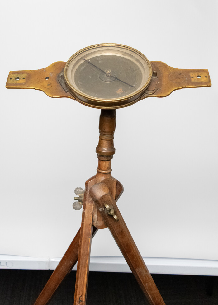
[Surveys in Austin's Colony along the east bank of Mill Creek]
Atlas D, Sketch 5 (D-5)
D-5
-
Map/Doc
216
-
Collection
General Map Collection
-
Object Dates
1827 (Creation Date)
-
People and Organizations
[Horatio Chriesman] (Surveyor/Engineer)
-
Counties
Austin
-
Subjects
Atlas
-
Height x Width
14.4 x 11.1 inches
36.6 x 28.2 cm
-
Medium
paper, manuscript
-
Comments
Conserved in 2004
-
Features
East Fork Mill Creek
Part of: General Map Collection
Goliad County Sketch File 26a


Print $10.00
- Digital $50.00
Goliad County Sketch File 26a
Size 12.8 x 8.3 inches
Map/Doc 24321
[Map of Matagorda County]
![3841, [Map of Matagorda County], General Map Collection](https://historictexasmaps.com/wmedia_w700/maps/3841.tif.jpg)
![3841, [Map of Matagorda County], General Map Collection](https://historictexasmaps.com/wmedia_w700/maps/3841.tif.jpg)
Print $20.00
- Digital $50.00
[Map of Matagorda County]
Size 24.4 x 25.6 inches
Map/Doc 3841
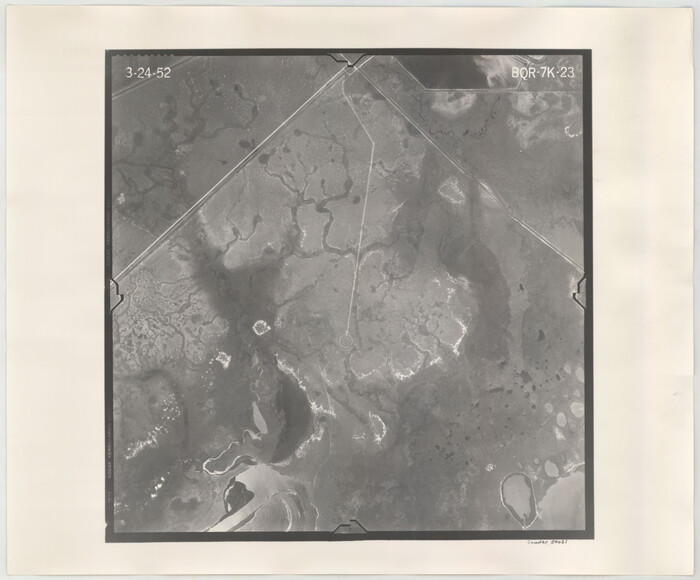
Flight Mission No. BQR-7K, Frame 23, Brazoria County

Print $20.00
- Digital $50.00
Flight Mission No. BQR-7K, Frame 23, Brazoria County
1952
Size 18.4 x 22.2 inches
Map/Doc 84021
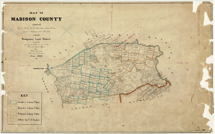
Map of Madison County

Print $20.00
- Digital $50.00
Map of Madison County
1858
Size 19.8 x 31.7 inches
Map/Doc 3834
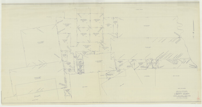
Liberty County Working Sketch 58

Print $40.00
- Digital $50.00
Liberty County Working Sketch 58
1968
Size 37.3 x 70.3 inches
Map/Doc 70518
Kleberg County Working Sketch Graphic Index
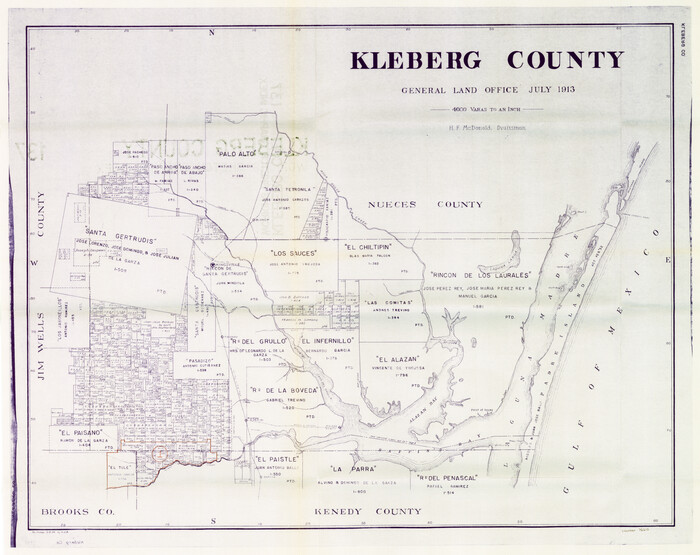

Print $20.00
- Digital $50.00
Kleberg County Working Sketch Graphic Index
1913
Size 29.0 x 32.9 inches
Map/Doc 76610
Sterling County Sketch File 17a
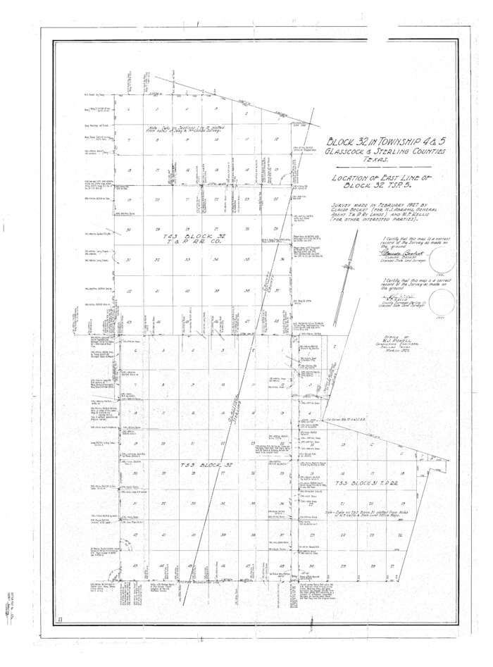

Print $20.00
- Digital $50.00
Sterling County Sketch File 17a
Size 42.8 x 31.6 inches
Map/Doc 10609
Howard County Sketch File 12


Print $20.00
- Digital $50.00
Howard County Sketch File 12
1939
Size 18.2 x 15.7 inches
Map/Doc 11799
Randall County Rolled Sketch 9B


Print $20.00
- Digital $50.00
Randall County Rolled Sketch 9B
1985
Size 45.0 x 34.5 inches
Map/Doc 9810
Cameron County Rolled Sketch 19


Print $2.00
- Digital $50.00
Cameron County Rolled Sketch 19
Size 7.0 x 5.6 inches
Map/Doc 5467
Morris County Rolled Sketch 2A


Print $20.00
- Digital $50.00
Morris County Rolled Sketch 2A
Size 24.0 x 18.8 inches
Map/Doc 10228
Right of Way and Track Map, International & Gt. Northern Ry. Operated by the International & Gt. Northern Ry. Co., Gulf Division


Print $40.00
- Digital $50.00
Right of Way and Track Map, International & Gt. Northern Ry. Operated by the International & Gt. Northern Ry. Co., Gulf Division
1917
Size 24.9 x 56.6 inches
Map/Doc 64250
You may also like
Blanco County Sketch File 50


Print $6.00
- Digital $50.00
Blanco County Sketch File 50
1995
Size 11.5 x 8.8 inches
Map/Doc 14695
[Texas Boundary Line]
![92082, [Texas Boundary Line], Twichell Survey Records](https://historictexasmaps.com/wmedia_w700/maps/92082-1.tif.jpg)
![92082, [Texas Boundary Line], Twichell Survey Records](https://historictexasmaps.com/wmedia_w700/maps/92082-1.tif.jpg)
Print $20.00
- Digital $50.00
[Texas Boundary Line]
Size 21.6 x 12.2 inches
Map/Doc 92082
Harris County Sketch File 56a

Print $54.00
- Digital $50.00
Harris County Sketch File 56a
1912
Size 9.0 x 7.9 inches
Map/Doc 25456
Burleson County Working Sketch 25


Print $20.00
- Digital $50.00
Burleson County Working Sketch 25
1981
Size 27.9 x 31.0 inches
Map/Doc 67744
Navigation Maps of Gulf Intracoastal Waterway, Port Arthur to Brownsville, Texas
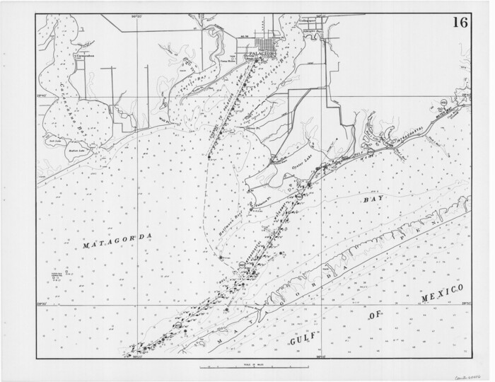

Print $4.00
- Digital $50.00
Navigation Maps of Gulf Intracoastal Waterway, Port Arthur to Brownsville, Texas
1951
Size 16.6 x 21.5 inches
Map/Doc 65436
Map of Encinal County
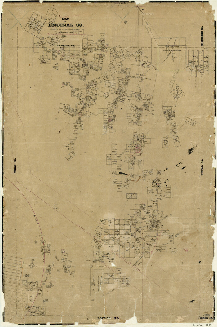

Print $20.00
- Digital $50.00
Map of Encinal County
1872
Size 30.5 x 20.3 inches
Map/Doc 3513
Map of Coleman County
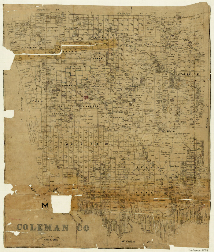

Print $20.00
- Digital $50.00
Map of Coleman County
1878
Size 23.9 x 20.3 inches
Map/Doc 3412
General Highway Map, Shelby County, Texas


Print $20.00
General Highway Map, Shelby County, Texas
1940
Size 18.3 x 24.8 inches
Map/Doc 79242
Lee County Working Sketch 15


Print $20.00
- Digital $50.00
Lee County Working Sketch 15
1981
Size 18.4 x 14.0 inches
Map/Doc 70394
Morris County Rolled Sketch 2A


Print $20.00
- Digital $50.00
Morris County Rolled Sketch 2A
Size 24.0 x 18.8 inches
Map/Doc 10273
![216, [Surveys in Austin's Colony along the east bank of Mill Creek], General Map Collection](https://historictexasmaps.com/wmedia_w1800h1800/maps/216.tif.jpg)

