[Aransas Wildlife Refuge]
Working Sketch of surveys in Aransas County
N-2-34
-
Map/Doc
2081
-
Collection
General Map Collection
-
Object Dates
1965/6/2 (Creation Date)
-
People and Organizations
General Land Office (Publisher)
Jerry Sadler (GLO Commissioner)
R.B. (Draftsman)
-
Counties
Aransas
-
Subjects
Gulf of Mexico
-
Height x Width
55.6 x 42.9 inches
141.2 x 109.0 cm
-
Comments
Located approximately 15 miles north 35 degrees east of Rockport.
Part of: General Map Collection
Flight Mission No. CLL-1N, Frame 77, Willacy County


Print $20.00
- Digital $50.00
Flight Mission No. CLL-1N, Frame 77, Willacy County
1954
Size 18.4 x 22.1 inches
Map/Doc 87023
Orange County Sketch File 25
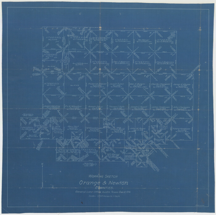

Print $20.00
- Digital $50.00
Orange County Sketch File 25
1914
Size 19.6 x 38.2 inches
Map/Doc 12122
Hall County Sketch File D


Print $8.00
- Digital $50.00
Hall County Sketch File D
1906
Size 14.4 x 8.7 inches
Map/Doc 24792
San Jacinto County
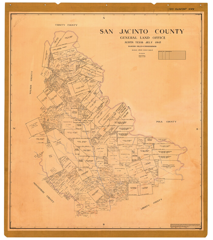

Print $40.00
- Digital $50.00
San Jacinto County
1942
Size 49.7 x 44.1 inches
Map/Doc 95633
Lampasas County Sketch File 11


Print $4.00
- Digital $50.00
Lampasas County Sketch File 11
1874
Size 12.2 x 7.9 inches
Map/Doc 29420
Flight Mission No. DAG-18K, Frame 74, Matagorda County
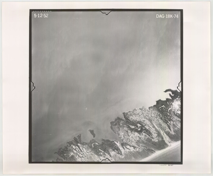

Print $20.00
- Digital $50.00
Flight Mission No. DAG-18K, Frame 74, Matagorda County
1952
Size 18.5 x 22.4 inches
Map/Doc 86367
Edwards County Working Sketch 80
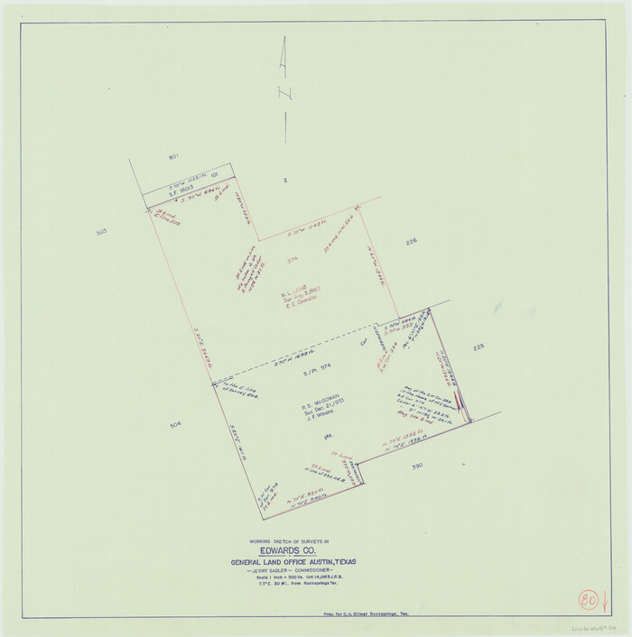

Print $20.00
- Digital $50.00
Edwards County Working Sketch 80
1963
Size 23.4 x 23.2 inches
Map/Doc 68956
Dimmit County Sketch File 50
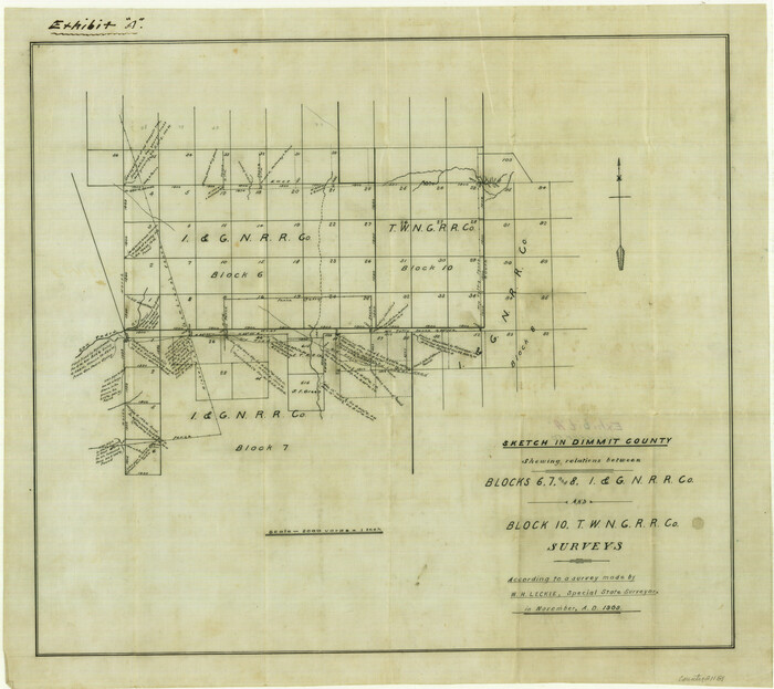

Print $36.00
- Digital $50.00
Dimmit County Sketch File 50
1909
Size 18.2 x 20.4 inches
Map/Doc 21181
Crosby County Rolled Sketch D
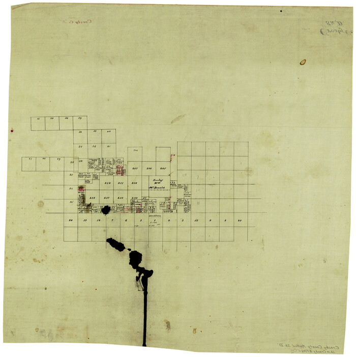

Print $20.00
- Digital $50.00
Crosby County Rolled Sketch D
Size 23.9 x 23.6 inches
Map/Doc 5643
Flight Mission No. CLL-1N, Frame 14, Willacy County


Print $20.00
- Digital $50.00
Flight Mission No. CLL-1N, Frame 14, Willacy County
1954
Size 18.2 x 22.1 inches
Map/Doc 87001
Brooks County Rolled Sketch 11
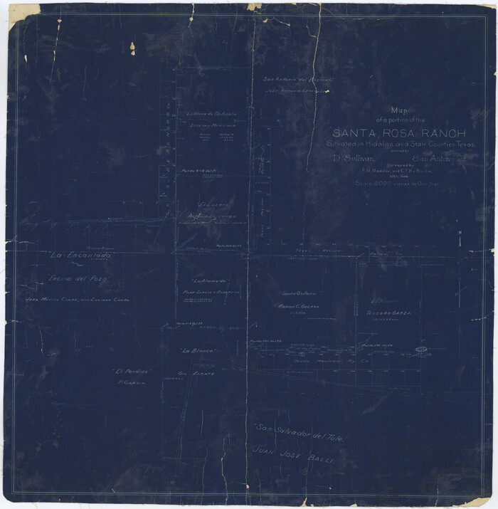

Print $20.00
- Digital $50.00
Brooks County Rolled Sketch 11
1906
Size 29.0 x 28.4 inches
Map/Doc 5337
You may also like
Donley County Sketch File 1

Print $6.00
- Digital $50.00
Donley County Sketch File 1
Size 8.2 x 6.5 inches
Map/Doc 21214
La Salle County Sketch File 15

Print $4.00
- Digital $50.00
La Salle County Sketch File 15
1883
Size 8.6 x 8.4 inches
Map/Doc 29485
El Paso County Rolled Sketch LH

Print $20.00
- Digital $50.00
El Paso County Rolled Sketch LH
1890
Size 20.3 x 31.7 inches
Map/Doc 5858
Map of Jackson County Texas


Print $20.00
- Digital $50.00
Map of Jackson County Texas
1840
Size 29.6 x 23.2 inches
Map/Doc 3708
General Highway Map, Tom Green County, Texas

Print $20.00
General Highway Map, Tom Green County, Texas
1940
Size 24.9 x 18.3 inches
Map/Doc 79259
Nueces County Rolled Sketch M-9

Print $20.00
- Digital $50.00
Nueces County Rolled Sketch M-9
1913
Size 37.6 x 38.3 inches
Map/Doc 9588
C. A. Pierce's Subdivision of Dick Slaughter Land


Print $20.00
- Digital $50.00
C. A. Pierce's Subdivision of Dick Slaughter Land
Size 37.7 x 17.1 inches
Map/Doc 90301
Phelps & Watson's historical and military map of the border & southern states


Print $20.00
- Digital $50.00
Phelps & Watson's historical and military map of the border & southern states
1863
Size 26.1 x 37.1 inches
Map/Doc 97083
Parker County Sketch File 15
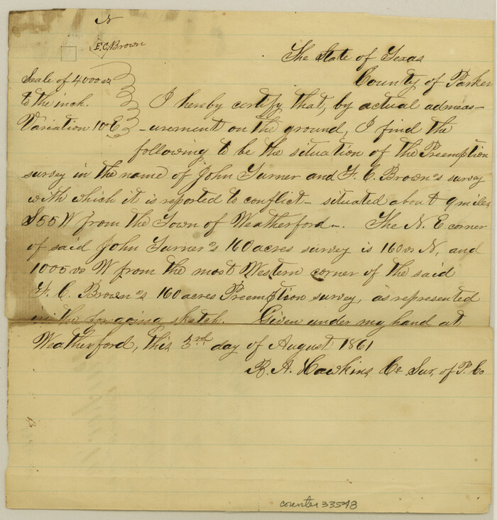

Print $4.00
- Digital $50.00
Parker County Sketch File 15
1861
Size 8.3 x 8.0 inches
Map/Doc 33548
Johnson County Boundary File 2a
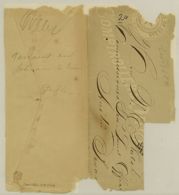

Print $22.00
- Digital $50.00
Johnson County Boundary File 2a
Size 9.0 x 8.3 inches
Map/Doc 55566
Anderson County Working Sketch 29


Print $20.00
- Digital $50.00
Anderson County Working Sketch 29
1962
Size 24.6 x 27.2 inches
Map/Doc 67029
![2081, [Aransas Wildlife Refuge], General Map Collection](https://historictexasmaps.com/wmedia_w1800h1800/maps/2081.tif.jpg)

