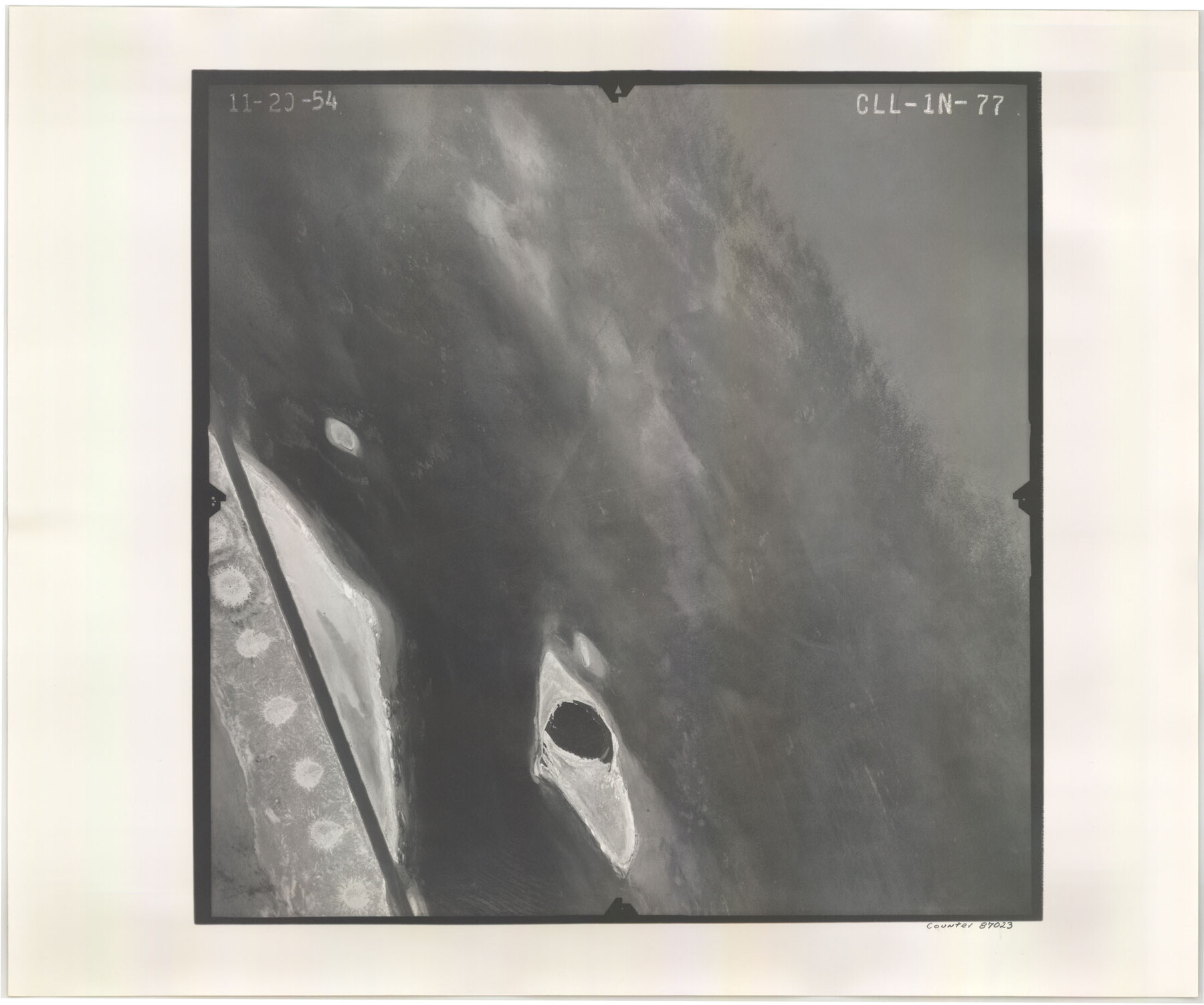
Flight Mission No. CLL-1N, Frame 77, Willacy County
CLL-1N-77
-
Map/Doc
87023
-
Collection
General Map Collection
-
Object Dates
1954/11/20 (Creation Date)
-
People and Organizations
U. S. Department of Agriculture (Publisher)
-
Counties
Willacy
-
Subjects
Aerial Photograph
-
Height x Width
18.4 x 22.1 inches
46.7 x 56.1 cm
-
Comments
Flown by Puckett Aerial Surveys, Inc. of Jackson, Mississippi.
Part of: General Map Collection
Flight Mission No. BRA-16M, Frame 76, Jefferson County

Print $20.00
- Digital $50.00
Flight Mission No. BRA-16M, Frame 76, Jefferson County
1953
Size 18.6 x 22.3 inches
Map/Doc 85693
Gaines County Rolled Sketch 15B

Print $40.00
- Digital $50.00
Gaines County Rolled Sketch 15B
Size 207.7 x 26.0 inches
Map/Doc 9037
Crockett County Working Sketch 62

Print $40.00
- Digital $50.00
Crockett County Working Sketch 62
1956
Size 35.4 x 66.1 inches
Map/Doc 63760
Crane County Rolled Sketch 28

Print $40.00
- Digital $50.00
Crane County Rolled Sketch 28
2020
Size 35.7 x 51.2 inches
Map/Doc 96434
Hunt County Sketch File 49

Print $4.00
- Digital $50.00
Hunt County Sketch File 49
1852
Size 7.3 x 8.9 inches
Map/Doc 27168
Right of Way and Track Map, Houston & Texas Central R.R. operated by the T. and N. O. R.R., Fort Worth Branch

Print $40.00
- Digital $50.00
Right of Way and Track Map, Houston & Texas Central R.R. operated by the T. and N. O. R.R., Fort Worth Branch
1918
Size 31.6 x 57.2 inches
Map/Doc 64780
Flight Mission No. CGI-8AA, Frame 146, Cameron County

Print $20.00
- Digital $50.00
Flight Mission No. CGI-8AA, Frame 146, Cameron County
1962
Size 18.6 x 18.3 inches
Map/Doc 84533
Copy of Surveyor's Field Book, Morris Browning - In Blocks 7, 5 & 4, I&GNRRCo., Hutchinson and Carson Counties, Texas

Print $2.00
- Digital $50.00
Copy of Surveyor's Field Book, Morris Browning - In Blocks 7, 5 & 4, I&GNRRCo., Hutchinson and Carson Counties, Texas
1888
Size 6.8 x 8.8 inches
Map/Doc 62274
Pass Cavallo, Entrance to Matagorda Bay, Texas

Print $20.00
- Digital $50.00
Pass Cavallo, Entrance to Matagorda Bay, Texas
1882
Size 24.3 x 18.7 inches
Map/Doc 73375
Liberty County Working Sketch Graphic Index - west part

Print $20.00
- Digital $50.00
Liberty County Working Sketch Graphic Index - west part
1977
Size 45.7 x 34.5 inches
Map/Doc 76619
Maps & Lists Showing Prison Lands (Oil & Gas) Leased as of June 1955

Digital $50.00
Maps & Lists Showing Prison Lands (Oil & Gas) Leased as of June 1955
Size 11.4 x 7.1 inches
Map/Doc 62865
Briscoe County Sketch File N

Print $40.00
- Digital $50.00
Briscoe County Sketch File N
Size 26.0 x 21.9 inches
Map/Doc 11012
You may also like
Burleson County Working Sketch 42

Print $20.00
- Digital $50.00
Burleson County Working Sketch 42
1953
Size 41.6 x 33.6 inches
Map/Doc 67761
Garza County Working Sketch 5

Print $20.00
- Digital $50.00
Garza County Working Sketch 5
1943
Size 19.4 x 34.7 inches
Map/Doc 63152
Swisher County Working Sketch 1

Print $20.00
- Digital $50.00
Swisher County Working Sketch 1
1907
Size 19.4 x 16.3 inches
Map/Doc 62412
Railroad Commissioners' Map of Texas

Print $20.00
Railroad Commissioners' Map of Texas
1897
Size 23.2 x 27.6 inches
Map/Doc 76280
Taylor County Rolled Sketch 25

Print $20.00
- Digital $50.00
Taylor County Rolled Sketch 25
1962
Size 27.1 x 46.0 inches
Map/Doc 7917
Gaines County Rolled Sketch 29

Print $20.00
- Digital $50.00
Gaines County Rolled Sketch 29
1990
Size 14.7 x 20.5 inches
Map/Doc 5942
Parker County Sketch File 1

Print $4.00
- Digital $50.00
Parker County Sketch File 1
Size 8.5 x 10.4 inches
Map/Doc 33516
Hardin County Sketch File 71e

Print $20.00
- Digital $50.00
Hardin County Sketch File 71e
Size 25.2 x 37.1 inches
Map/Doc 11642
Montgomery County Rolled Sketch 12

Print $20.00
- Digital $50.00
Montgomery County Rolled Sketch 12
Size 23.4 x 30.5 inches
Map/Doc 6801
Flight Mission No. BRA-6M, Frame 143, Jefferson County

Print $20.00
- Digital $50.00
Flight Mission No. BRA-6M, Frame 143, Jefferson County
1953
Size 18.5 x 22.2 inches
Map/Doc 85444
Outer Continental Shelf Leasing Maps (Texas Offshore Operations)

Print $20.00
- Digital $50.00
Outer Continental Shelf Leasing Maps (Texas Offshore Operations)
Size 24.3 x 18.5 inches
Map/Doc 75851
