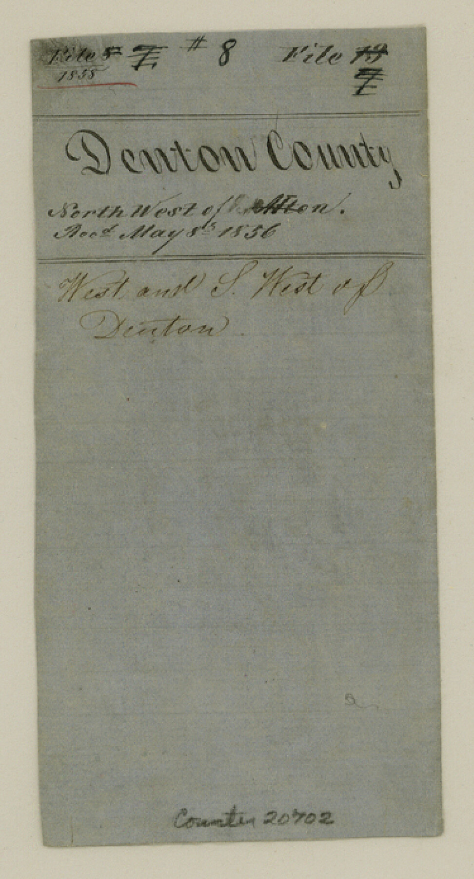
Denton County Sketch File 8
[Sketch west and southwest of Denton]
-
Map/Doc
20702
-
Collection
General Map Collection
-
Object Dates
1856/4/22 (Creation Date)
1856/5/8 (File Date)
-
People and Organizations
R.W. Allen (Surveyor/Engineer)
-
Counties
Denton
-
Subjects
Surveying Sketch File
-
Height x Width
6.9 x 3.8 inches
17.5 x 9.7 cm
-
Medium
paper, manuscript
Part of: General Map Collection
Flight Mission No. DQN-6K, Frame 69, Calhoun County

Print $20.00
- Digital $50.00
Flight Mission No. DQN-6K, Frame 69, Calhoun County
1953
Size 18.6 x 22.1 inches
Map/Doc 84441
Flight Mission No. CRC-4R, Frame 163, Chambers County

Print $20.00
- Digital $50.00
Flight Mission No. CRC-4R, Frame 163, Chambers County
1956
Size 18.5 x 22.4 inches
Map/Doc 84922

Map and Profile of Georgetown Railroad

Print $20.00
- Digital $50.00
Map and Profile of Georgetown Railroad
1879
Size 18.9 x 41.5 inches
Map/Doc 64453

Travis County Appraisal District Plat Map 2_0219

Print $20.00
- Digital $50.00
Travis County Appraisal District Plat Map 2_0219
Size 21.6 x 26.5 inches
Map/Doc 94209
Refugio County Sketch File 24

Print $12.00
- Digital $50.00
Refugio County Sketch File 24
1954
Size 14.4 x 8.9 inches
Map/Doc 35283
Presidio County Sketch File 108

Print $6.00
- Digital $50.00
Presidio County Sketch File 108
Size 10.9 x 8.5 inches
Map/Doc 41455
Limestone County Working Sketch 22

Print $40.00
- Digital $50.00
Limestone County Working Sketch 22
1980
Size 43.3 x 60.2 inches
Map/Doc 70572

Hays County Sketch File 15

Print $40.00
- Digital $50.00
Hays County Sketch File 15
1871
Size 12.0 x 16.6 inches
Map/Doc 26225
Scurry County Rolled Sketch 2

Print $20.00
- Digital $50.00
Scurry County Rolled Sketch 2
Size 44.0 x 44.9 inches
Map/Doc 9911
You may also like
Crockett County Rolled Sketch 49

Print $20.00
- Digital $50.00
Crockett County Rolled Sketch 49
1940
Size 32.8 x 42.7 inches
Map/Doc 8713
Montgomery County Working Sketch 69

Print $20.00
- Digital $50.00
Montgomery County Working Sketch 69
1973
Size 27.3 x 37.7 inches
Map/Doc 71176
Angelina County Sketch File 9

Print $23.00
- Digital $50.00
Angelina County Sketch File 9
1858
Size 12.3 x 15.8 inches
Map/Doc 10813
Harris County Sketch File 56a

Print $54.00
- Digital $50.00
Harris County Sketch File 56a
1912
Size 9.0 x 7.9 inches
Map/Doc 25456
Ellis County Sketch File 2

Print $11.00
- Digital $50.00
Ellis County Sketch File 2
1858
Size 8.4 x 9.7 inches
Map/Doc 21827
![91463, [Block B7], Twichell Survey Records](https://historictexasmaps.com/wmedia_w700/maps/91463-1.tif.jpg)
Chart of the Harbour of San [Luis]
![72762, Chart of the Harbour of San [Luis], General Map Collection](https://historictexasmaps.com/wmedia_w700/maps/72762.tif.jpg)
Print $20.00
- Digital $50.00
Chart of the Harbour of San [Luis]
1846
Size 27.2 x 18.2 inches
Map/Doc 72762
Crockett County Working Sketch 57

Print $20.00
- Digital $50.00
Crockett County Working Sketch 57
1954
Size 35.9 x 38.8 inches
Map/Doc 68390
Coast Chart No. 210 - Aransas Pass and Corpus Christi Bay with the coast to latitude 27° 12', Texas

Print $20.00
- Digital $50.00
Coast Chart No. 210 - Aransas Pass and Corpus Christi Bay with the coast to latitude 27° 12', Texas
1887
Size 23.4 x 29.4 inches
Map/Doc 73443
Dickens County Sketch File D2

Print $44.00
- Digital $50.00
Dickens County Sketch File D2
Size 27.2 x 19.1 inches
Map/Doc 20839
Panola County Working Sketch 35

Print $40.00
- Digital $50.00
Panola County Working Sketch 35
1983
Map/Doc 71444
