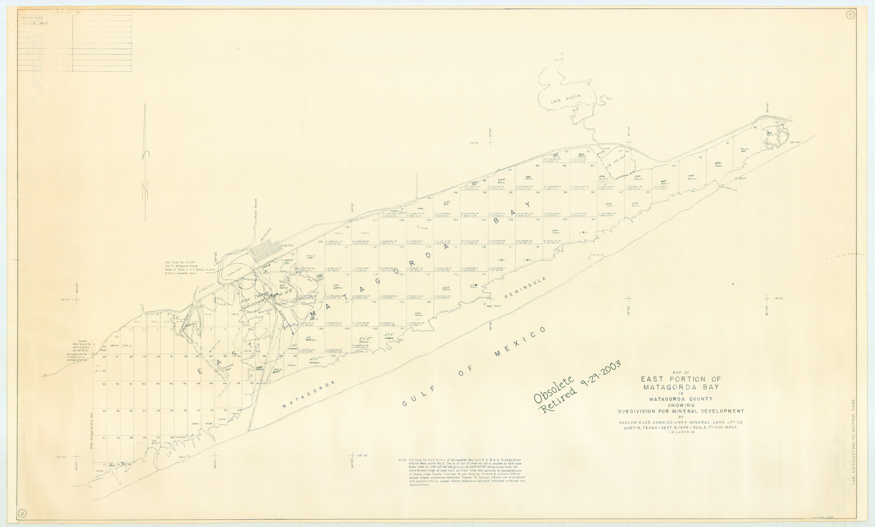
East Portion of Matagorda Bay in Matagorda County, showing Subdivision for Mineral Development
-
Map/Doc
1909
-
Collection
General Map Collection
-
Object Dates
1949 (Creation Date)
-
People and Organizations
General Land Office (Publisher)
-
Subjects
Energy Offshore Submerged Area
-
Height x Width
30.8 x 51.1 inches
78.2 x 129.8 cm
-
Medium
blueline cloth
-
Scale
1200 varas
-
Comments
Gulf coast and submerged state lands. Revised November 26, 1969.
Part of: General Map Collection
Presidio County Working Sketch 81

Print $20.00
- Digital $50.00
Presidio County Working Sketch 81
1967
Size 18.9 x 17.4 inches
Map/Doc 71758
Reeves County Working Sketch 41

Print $40.00
- Digital $50.00
Reeves County Working Sketch 41
1973
Size 42.5 x 53.4 inches
Map/Doc 63484
Aransas County NRC Article 33.136 Sketch 17

Print $206.00
- Digital $50.00
Aransas County NRC Article 33.136 Sketch 17
2019
Size 22.4 x 35.8 inches
Map/Doc 96475
Flight Mission No. CLL-1N, Frame 182, Willacy County

Print $20.00
- Digital $50.00
Flight Mission No. CLL-1N, Frame 182, Willacy County
1954
Size 18.4 x 22.0 inches
Map/Doc 87052
Culberson County Working Sketch 17

Print $20.00
- Digital $50.00
Culberson County Working Sketch 17
1927
Size 22.9 x 35.2 inches
Map/Doc 68469
Palo Pinto County Rolled Sketch 13

Print $20.00
- Digital $50.00
Palo Pinto County Rolled Sketch 13
1986
Size 29.0 x 32.2 inches
Map/Doc 7193
Webb County Sketch File 73

Print $20.00
- Digital $50.00
Webb County Sketch File 73
2020
Size 11.0 x 8.5 inches
Map/Doc 95917

Angelina County Sketch File 13

Print $4.00
- Digital $50.00
Angelina County Sketch File 13
1860
Size 13.0 x 8.2 inches
Map/Doc 12957
Erath County Working Sketch 46

Print $40.00
- Digital $50.00
Erath County Working Sketch 46
1983
Size 49.6 x 43.1 inches
Map/Doc 69127
Travis County Sketch File 46

Print $20.00
- Digital $50.00
Travis County Sketch File 46
1939
Size 21.0 x 21.2 inches
Map/Doc 12468
Pecan Bayou Travis District

Print $20.00
- Digital $50.00
Pecan Bayou Travis District
1852
Size 25.8 x 20.5 inches
Map/Doc 4518
You may also like
Wise County Sketch File 2

Print $8.00
- Digital $50.00
Wise County Sketch File 2
1856
Size 8.2 x 13.4 inches
Map/Doc 40523
Lipscomb County Working Sketch 8

Print $20.00
- Digital $50.00
Lipscomb County Working Sketch 8
1982
Size 42.7 x 23.6 inches
Map/Doc 70584
Kinney County Sketch File 29

Print $20.00
- Digital $50.00
Kinney County Sketch File 29
1933
Size 15.5 x 21.1 inches
Map/Doc 11947
Johnson County Sketch File 8

Print $6.00
- Digital $50.00
Johnson County Sketch File 8
1859
Size 8.0 x 9.7 inches
Map/Doc 28440
Zavala County Sketch File 9

Print $20.00
- Digital $50.00
Zavala County Sketch File 9
1884
Size 29.1 x 15.9 inches
Map/Doc 12727
The Republic County of Robertson. January 29, 1842

Print $20.00
The Republic County of Robertson. January 29, 1842
2020
Size 16.9 x 21.7 inches
Map/Doc 96262
Stonewall County Sketch File B1

Print $20.00
- Digital $50.00
Stonewall County Sketch File B1
1901
Size 36.2 x 34.9 inches
Map/Doc 10379
La Salle County Rolled Sketch 6

Print $40.00
- Digital $50.00
La Salle County Rolled Sketch 6
1941
Size 43.0 x 66.0 inches
Map/Doc 10738

Montague County Working Sketch 16

Print $20.00
- Digital $50.00
Montague County Working Sketch 16
1946
Size 44.1 x 40.8 inches
Map/Doc 71082
Controlled Mosaic by Jack Amman Photogrammetric Engineers, Inc - Sheet 39

Print $20.00
- Digital $50.00
Controlled Mosaic by Jack Amman Photogrammetric Engineers, Inc - Sheet 39
1954
Size 20.0 x 24.0 inches
Map/Doc 83494
Ector County Sketch File 3

Print $20.00
- Digital $50.00
Ector County Sketch File 3
1889
Size 16.2 x 35.5 inches
Map/Doc 11417