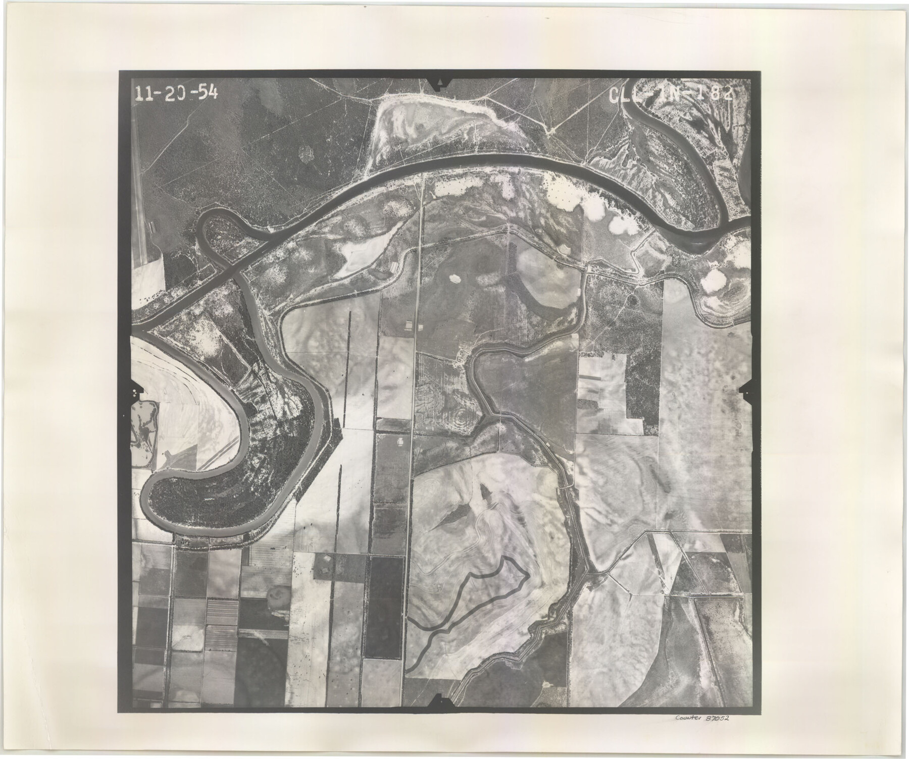
Flight Mission No. CLL-1N, Frame 182, Willacy County
CLL-1N-182
-
Map/Doc
87052
-
Collection
General Map Collection
-
Object Dates
1954/11/20 (Creation Date)
-
People and Organizations
U. S. Department of Agriculture (Publisher)
-
Counties
Willacy
-
Subjects
Aerial Photograph
-
Height x Width
18.4 x 22.0 inches
46.7 x 55.9 cm
-
Comments
Flown by Puckett Aerial Surveys, Inc. of Jackson, Mississippi.
Part of: General Map Collection
San Saba County Boundary File 77a

Print $51.00
- Digital $50.00
San Saba County Boundary File 77a
Size 17.3 x 10.8 inches
Map/Doc 58591
Map of Galveston East Bay and Bolivar Peninsular

Print $40.00
- Digital $50.00
Map of Galveston East Bay and Bolivar Peninsular
1851
Size 30.9 x 75.8 inches
Map/Doc 69919
Jasper County Boundary File 4

Print $4.00
- Digital $50.00
Jasper County Boundary File 4
Size 14.4 x 8.9 inches
Map/Doc 55489
San Jacinto County Sketch File 9

Print $4.00
San Jacinto County Sketch File 9
1860
Size 8.7 x 11.7 inches
Map/Doc 35712
Hutchinson County Rolled Sketch 37

Print $20.00
- Digital $50.00
Hutchinson County Rolled Sketch 37
1950
Size 24.4 x 44.4 inches
Map/Doc 6296
Crockett County Rolled Sketch 79

Print $20.00
- Digital $50.00
Crockett County Rolled Sketch 79
1954
Size 36.1 x 47.8 inches
Map/Doc 76013
Maps of Gulf Intracoastal Waterway, Texas - Sabine River to the Rio Grande and connecting waterways including ship channels

Print $20.00
- Digital $50.00
Maps of Gulf Intracoastal Waterway, Texas - Sabine River to the Rio Grande and connecting waterways including ship channels
1966
Size 14.5 x 22.2 inches
Map/Doc 61963
Scurry County Working Sketch Graphic Index

Print $20.00
- Digital $50.00
Scurry County Working Sketch Graphic Index
1921
Size 39.9 x 37.0 inches
Map/Doc 76695
Llano County Working Sketch 2

Print $20.00
- Digital $50.00
Llano County Working Sketch 2
1949
Size 21.0 x 24.3 inches
Map/Doc 70620
Mississippi River to Galveston

Print $40.00
- Digital $50.00
Mississippi River to Galveston
1961
Size 37.1 x 49.6 inches
Map/Doc 69944
[Surveys in the Jefferson District: G. A. Patillo's league, Big Sandy, Sabine Bay]
![69727, [Surveys in the Jefferson District: G. A. Patillo's league, Big Sandy, Sabine Bay], General Map Collection](https://historictexasmaps.com/wmedia_w700/maps/69727-1.tif.jpg)
Print $20.00
- Digital $50.00
[Surveys in the Jefferson District: G. A. Patillo's league, Big Sandy, Sabine Bay]
1846
Size 14.4 x 20.9 inches
Map/Doc 69727
Pecos County Sketch File 41

Print $32.00
- Digital $50.00
Pecos County Sketch File 41
1919
Size 11.2 x 8.8 inches
Map/Doc 33729
You may also like
Flight Mission No. BQR-20K, Frame 14, Brazoria County

Print $20.00
- Digital $50.00
Flight Mission No. BQR-20K, Frame 14, Brazoria County
1952
Size 18.6 x 22.3 inches
Map/Doc 84116
Starr County Sketch File 11

Print $28.00
- Digital $50.00
Starr County Sketch File 11
1885
Size 12.8 x 8.1 inches
Map/Doc 36865
Matagorda County NRC Article 33.136 Location Key Sheet

Print $20.00
- Digital $50.00
Matagorda County NRC Article 33.136 Location Key Sheet
1995
Size 27.0 x 23.0 inches
Map/Doc 87910
Upshur County Sketch File 20

Print $4.00
- Digital $50.00
Upshur County Sketch File 20
1873
Size 5.7 x 8.3 inches
Map/Doc 38792
Travis County Working Sketch 40

Print $20.00
- Digital $50.00
Travis County Working Sketch 40
1974
Size 31.7 x 32.1 inches
Map/Doc 69424
Hardin County Sketch File 34

Print $6.00
- Digital $50.00
Hardin County Sketch File 34
Size 12.9 x 8.5 inches
Map/Doc 25172
Current Miscellaneous File 50

Print $30.00
- Digital $50.00
Current Miscellaneous File 50
Size 11.9 x 9.2 inches
Map/Doc 74014
Coke County Working Sketch 4

Print $20.00
- Digital $50.00
Coke County Working Sketch 4
1897
Size 15.6 x 16.4 inches
Map/Doc 68041
Houston Ship Channel, Alexander Island to Carpenter Bayou

Print $20.00
- Digital $50.00
Houston Ship Channel, Alexander Island to Carpenter Bayou
1973
Size 35.2 x 46.9 inches
Map/Doc 69910
Angelina County Working Sketch 46

Print $20.00
- Digital $50.00
Angelina County Working Sketch 46
1976
Size 31.2 x 31.3 inches
Map/Doc 67129
[Portions of Blocks T1, B, and T]
![90950, [Portions of Blocks T1, B, and T], Twichell Survey Records](https://historictexasmaps.com/wmedia_w700/maps/90950-1.tif.jpg)
Print $2.00
- Digital $50.00
[Portions of Blocks T1, B, and T]
1910
Size 13.8 x 4.3 inches
Map/Doc 90950
Limestone County Working Sketch 25

Print $20.00
- Digital $50.00
Limestone County Working Sketch 25
1981
Size 26.1 x 21.1 inches
Map/Doc 70575