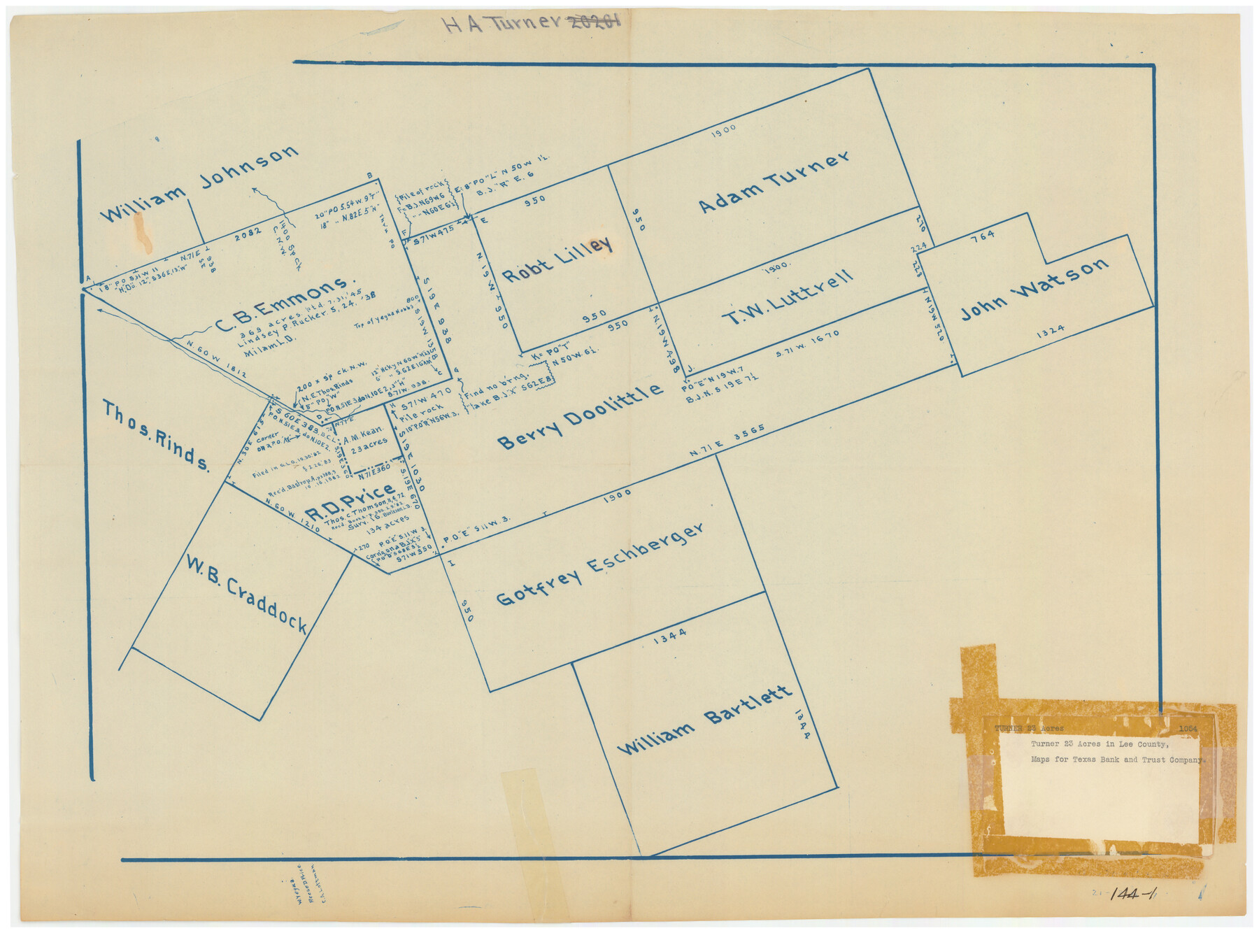
Turner 23 Acres in Lee County
144-1
-
Map/Doc
91081
-
Collection
Twichell Survey Records
-
Counties
Lee
-
Height x Width
27.0 x 20.2 inches
68.6 x 51.3 cm
Part of: Twichell Survey Records
[Blocks Z3, S, H1 and 1 and vicinity]
![93120, [Blocks Z3, S, H1 and 1 and vicinity], Twichell Survey Records](https://historictexasmaps.com/wmedia_w700/maps/93120-1.tif.jpg)
Print $40.00
- Digital $50.00
[Blocks Z3, S, H1 and 1 and vicinity]
Size 54.0 x 32.2 inches
Map/Doc 93120
Oldham School Land, Cochran County

Print $20.00
- Digital $50.00
Oldham School Land, Cochran County
Size 13.4 x 21.8 inches
Map/Doc 90302
[Southwest Portion of Lynn County, Southeast Portion of Terry County]
![91305, [Southwest Portion of Lynn County, Southeast Portion of Terry County], Twichell Survey Records](https://historictexasmaps.com/wmedia_w700/maps/91305-1.tif.jpg)
Print $20.00
- Digital $50.00
[Southwest Portion of Lynn County, Southeast Portion of Terry County]
1952
Size 34.3 x 35.1 inches
Map/Doc 91305
[Block 1 and surrounding blocks]
![90755, [Block 1 and surrounding blocks], Twichell Survey Records](https://historictexasmaps.com/wmedia_w700/maps/90755-1.tif.jpg)
Print $20.00
- Digital $50.00
[Block 1 and surrounding blocks]
1903
Size 18.8 x 19.8 inches
Map/Doc 90755
Bailey County, Texas

Print $20.00
- Digital $50.00
Bailey County, Texas
Size 30.1 x 41.8 inches
Map/Doc 92528
Central Lea County, New Mexico

Print $40.00
- Digital $50.00
Central Lea County, New Mexico
Size 40.6 x 60.2 inches
Map/Doc 89909
Eastern Heights Addition - Preliminary Plat Showing Subdivision of SW/4 of SW/4 - Sectin 5 Block O as Proposed by Mr. H. Sieber 38.43 Ac.

Print $20.00
- Digital $50.00
Eastern Heights Addition - Preliminary Plat Showing Subdivision of SW/4 of SW/4 - Sectin 5 Block O as Proposed by Mr. H. Sieber 38.43 Ac.
1952
Size 23.8 x 19.8 inches
Map/Doc 92811
East Half of Section 58. W. C. RR. Co. Block 3

Print $20.00
- Digital $50.00
East Half of Section 58. W. C. RR. Co. Block 3
1952
Size 8.7 x 18.8 inches
Map/Doc 92594
Selected List of Wells accompanying Map of Wyoming showing Test Wells for Oil and Gas, Anticlinal Axes, Oil and Gas Fields, Pipelines, Unit Areas, and Land 3 District Boundaries, 1949

Print $20.00
- Digital $50.00
Selected List of Wells accompanying Map of Wyoming showing Test Wells for Oil and Gas, Anticlinal Axes, Oil and Gas Fields, Pipelines, Unit Areas, and Land 3 District Boundaries, 1949
1949
Size 26.2 x 41.5 inches
Map/Doc 89690
Morton, Cochran County, Texas

Print $40.00
- Digital $50.00
Morton, Cochran County, Texas
Size 44.4 x 53.5 inches
Map/Doc 89913
[East Line of Capitol Leagues 220, 221, and 228]
![90678, [East Line of Capitol Leagues 220, 221, and 228], Twichell Survey Records](https://historictexasmaps.com/wmedia_w700/maps/90678-1.tif.jpg)
Print $20.00
- Digital $50.00
[East Line of Capitol Leagues 220, 221, and 228]
Size 12.8 x 22.0 inches
Map/Doc 90678
Sketch of Lands in Oldham County, Texas

Print $2.00
- Digital $50.00
Sketch of Lands in Oldham County, Texas
Size 8.1 x 9.4 inches
Map/Doc 91441
You may also like
Goliad County Sketch File 26

Print $26.00
- Digital $50.00
Goliad County Sketch File 26
1855
Size 10.2 x 8.2 inches
Map/Doc 24308
Americae Pars Borealis, Florida, Baccalaos, Canada, Corterealis

Print $20.00
- Digital $50.00
Americae Pars Borealis, Florida, Baccalaos, Canada, Corterealis
1593
Size 16.2 x 22.1 inches
Map/Doc 93832
Bee County Sketch File 23

Print $8.00
- Digital $50.00
Bee County Sketch File 23
1878
Size 10.0 x 8.1 inches
Map/Doc 14318
Schleicher County Rolled Sketch 17

Print $20.00
- Digital $50.00
Schleicher County Rolled Sketch 17
Size 27.9 x 20.6 inches
Map/Doc 7759
[Surveys in Austin's Colony by Horatio Chriesman along Mill and Cummins Creeks]
![68, [Surveys in Austin's Colony by Horatio Chriesman along Mill and Cummins Creeks], General Map Collection](https://historictexasmaps.com/wmedia_w700/maps/68.tif.jpg)
Print $20.00
- Digital $50.00
[Surveys in Austin's Colony by Horatio Chriesman along Mill and Cummins Creeks]
1830
Size 30.7 x 25.7 inches
Map/Doc 68
Briscoe County Working Sketch 2

Print $20.00
- Digital $50.00
Briscoe County Working Sketch 2
1913
Size 25.4 x 23.9 inches
Map/Doc 67805
Franklin County Working Sketch 1

Print $20.00
- Digital $50.00
Franklin County Working Sketch 1
1915
Size 20.4 x 11.8 inches
Map/Doc 69239
Gregg County Sketch File 2

Print $26.00
- Digital $50.00
Gregg County Sketch File 2
1921
Size 14.2 x 8.7 inches
Map/Doc 24553
Eastland County Working Sketch 8

Print $20.00
- Digital $50.00
Eastland County Working Sketch 8
1919
Size 13.5 x 11.1 inches
Map/Doc 68789
Garza County Sketch File 29

Print $20.00
- Digital $50.00
Garza County Sketch File 29
1935
Size 24.8 x 26.5 inches
Map/Doc 11548
Willacy County Aerial Photograph Index Sheet 4

Print $20.00
- Digital $50.00
Willacy County Aerial Photograph Index Sheet 4
1955
Size 24.3 x 19.8 inches
Map/Doc 83759
Flight Mission No. DCL-7C, Frame 117, Kenedy County

Print $20.00
- Digital $50.00
Flight Mission No. DCL-7C, Frame 117, Kenedy County
1943
Size 18.4 x 22.3 inches
Map/Doc 86082