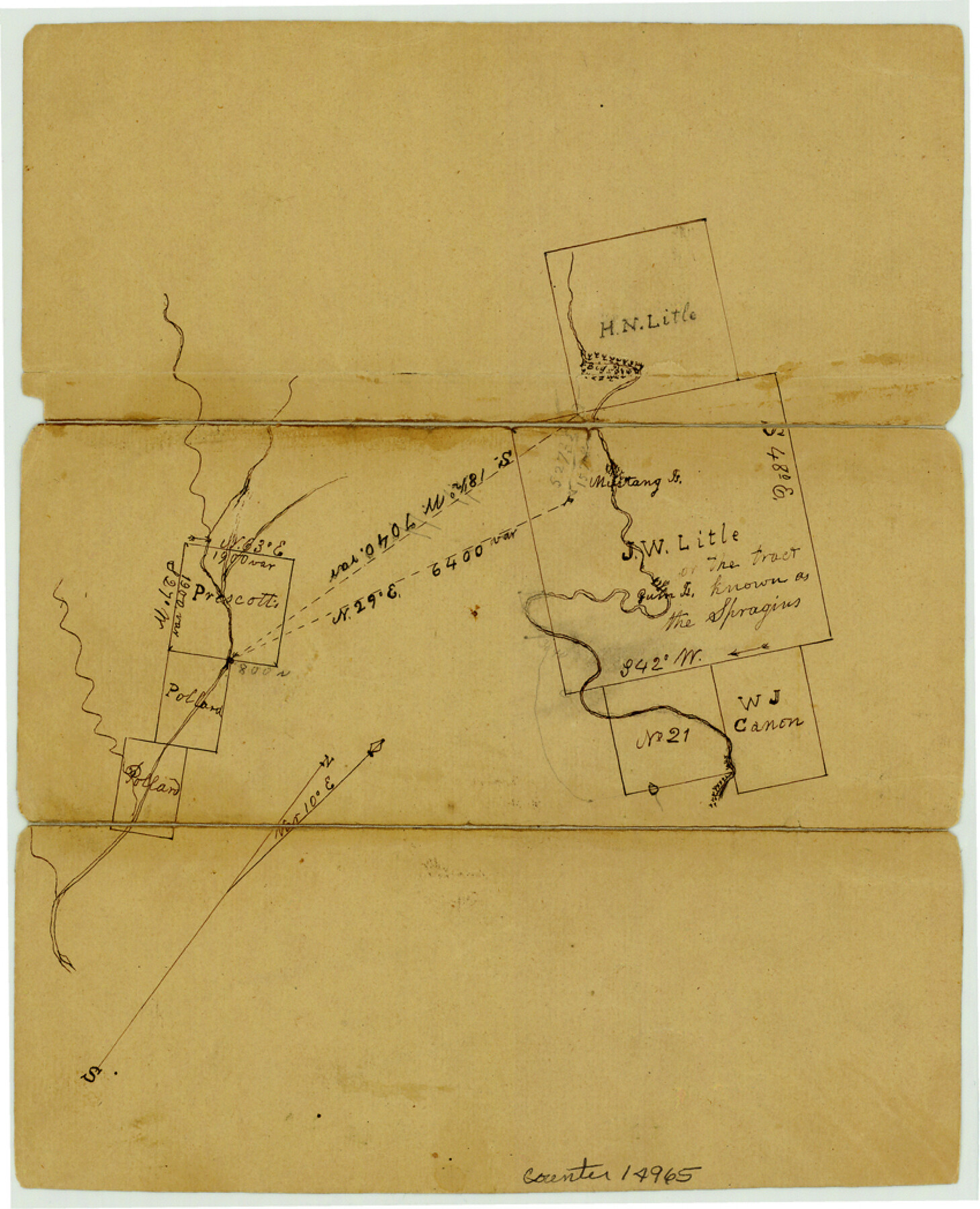
Brazoria County Sketch File 11
[Sketch of connections from Chocolate Bayou to the Thomas Spragins survey and Mustang Bayou]
-
Map/Doc
14965
-
Collection
General Map Collection
-
Object Dates
1876/2/23 (File Date)
-
Counties
Brazoria
-
Subjects
Surveying Sketch File
-
Height x Width
10.5 x 8.5 inches
26.7 x 21.6 cm
-
Medium
paper, manuscript
-
Features
Big Spring
Mustang Island
Part of: General Map Collection
Real County Working Sketch 13

Print $20.00
- Digital $50.00
Real County Working Sketch 13
1931
Size 24.2 x 33.3 inches
Map/Doc 71905
Harris County Working Sketch 45

Print $20.00
- Digital $50.00
Harris County Working Sketch 45
1942
Size 26.6 x 31.9 inches
Map/Doc 65937

Galveston County Sketch File 7

Print $20.00
- Digital $50.00
Galveston County Sketch File 7
1859
Size 12.8 x 17.0 inches
Map/Doc 23364
Blanco County Rolled Sketch 20

Print $36.00
- Digital $50.00
Blanco County Rolled Sketch 20
Size 30.7 x 17.0 inches
Map/Doc 87343
Borden County Sketch File 3b

Print $40.00
- Digital $50.00
Borden County Sketch File 3b
1902
Size 9.5 x 21.1 inches
Map/Doc 10933
Pecos County Working Sketch Graphic index - northwest part - sheet A

Print $20.00
- Digital $50.00
Pecos County Working Sketch Graphic index - northwest part - sheet A
1975
Size 42.2 x 42.6 inches
Map/Doc 76663
Red River County Working Sketch 79

Print $40.00
- Digital $50.00
Red River County Working Sketch 79
1986
Size 43.8 x 61.1 inches
Map/Doc 72062
Cooke County Working Sketch 14

Print $40.00
- Digital $50.00
Cooke County Working Sketch 14
1944
Size 34.1 x 49.7 inches
Map/Doc 68251
Reagan County Working Sketch 2

Print $20.00
- Digital $50.00
Reagan County Working Sketch 2
1919
Size 28.5 x 19.6 inches
Map/Doc 71842
Map of Brownsville Navigation District survey in Cameron County showing area for mineral development

Print $20.00
- Digital $50.00
Map of Brownsville Navigation District survey in Cameron County showing area for mineral development
1938
Size 22.3 x 36.5 inches
Map/Doc 2731
Index Map No. 1 - Rio Bravo del Norte section of boundary between the United States & Mexico; agreed upon by the Joint Commission under the Treaty of Guadalupe Hidalgo

Print $20.00
- Digital $50.00
Index Map No. 1 - Rio Bravo del Norte section of boundary between the United States & Mexico; agreed upon by the Joint Commission under the Treaty of Guadalupe Hidalgo
1852
Size 18.3 x 27.5 inches
Map/Doc 72860
You may also like
Flight Mission No. CGI-1N, Frame 143, Cameron County

Print $20.00
- Digital $50.00
Flight Mission No. CGI-1N, Frame 143, Cameron County
1955
Size 18.6 x 22.1 inches
Map/Doc 84499
Delta County Sketch File 1

Print $4.00
- Digital $50.00
Delta County Sketch File 1
1871
Size 12.7 x 8.1 inches
Map/Doc 20666
Edwards County Working Sketch 101

Print $20.00
- Digital $50.00
Edwards County Working Sketch 101
1971
Size 36.9 x 38.8 inches
Map/Doc 68977
Zavala County Sketch File 48

Print $6.00
- Digital $50.00
Zavala County Sketch File 48
1942
Size 11.4 x 9.0 inches
Map/Doc 41438
Southern Pacific Transportation Company, Right of Way and Track Map, Beeville Branch

Print $40.00
- Digital $50.00
Southern Pacific Transportation Company, Right of Way and Track Map, Beeville Branch
Size 24.1 x 56.1 inches
Map/Doc 76163
Bird's Eye View of El Paso

Print $20.00
Bird's Eye View of El Paso
1885
Size 20.0 x 30.0 inches
Map/Doc 93621
Flight Mission No. BQR-20K, Frame 5, Brazoria County

Print $20.00
- Digital $50.00
Flight Mission No. BQR-20K, Frame 5, Brazoria County
1952
Size 18.6 x 22.3 inches
Map/Doc 84107
Lee County Sketch File 4

Print $4.00
- Digital $50.00
Lee County Sketch File 4
1859
Size 9.5 x 8.1 inches
Map/Doc 29682
Menard County Sketch File 11

Print $8.00
- Digital $50.00
Menard County Sketch File 11
1892
Size 12.8 x 8.3 inches
Map/Doc 31496
Rusk County Rolled Sketch 13

Print $20.00
- Digital $50.00
Rusk County Rolled Sketch 13
Size 30.1 x 26.4 inches
Map/Doc 7548
Flight Mission No. CRC-5R, Frame 39, Chambers County

Print $20.00
- Digital $50.00
Flight Mission No. CRC-5R, Frame 39, Chambers County
1956
Size 18.5 x 22.3 inches
Map/Doc 84958
[Atlas E, Table of Contents]
![78357, [Atlas E, Table of Contents], General Map Collection](https://historictexasmaps.com/wmedia_w700/maps/78357.tif.jpg)
Print $3.00
- Digital $50.00
[Atlas E, Table of Contents]
Size 17.8 x 11.0 inches
Map/Doc 78357