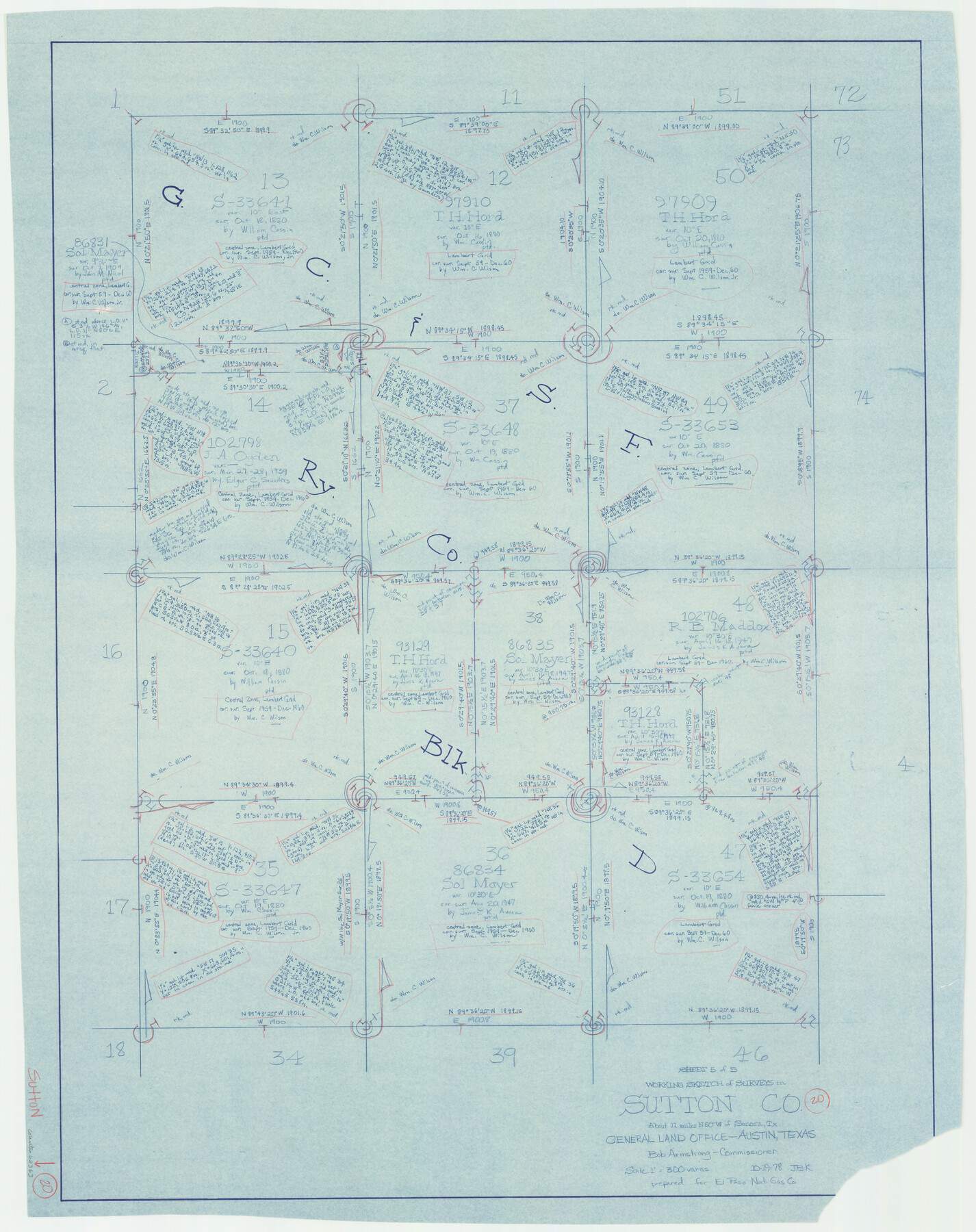
Sutton County Working Sketch 20
-
Map/Doc
62363
-
Collection
General Map Collection
-
Object Dates
10/19/1978 (Creation Date)
-
People and Organizations
Joan Kilpatrick (Draftsman)
-
Counties
Sutton
-
Subjects
Surveying Working Sketch
-
Height x Width
34.5 x 27.4 inches
87.6 x 69.6 cm
-
Scale
1" = 300 varas
Part of: General Map Collection
Goliad County Sketch File X

Print $10.00
- Digital $50.00
Goliad County Sketch File X
1893
Size 8.3 x 12.8 inches
Map/Doc 24332
Maps & Lists Showing Prison Lands (Oil & Gas) Leased as of June 1955

Digital $50.00
Maps & Lists Showing Prison Lands (Oil & Gas) Leased as of June 1955
Size 11.4 x 7.2 inches
Map/Doc 62867
Flight Mission No. CGI-3N, Frame 185, Cameron County

Print $20.00
- Digital $50.00
Flight Mission No. CGI-3N, Frame 185, Cameron County
1954
Size 18.6 x 22.4 inches
Map/Doc 84649
Midland County Working Sketch 29

Print $40.00
- Digital $50.00
Midland County Working Sketch 29
1971
Size 49.4 x 35.6 inches
Map/Doc 71010
Jeff Davis County Rolled Sketch 30

Print $20.00
- Digital $50.00
Jeff Davis County Rolled Sketch 30
Size 35.7 x 29.7 inches
Map/Doc 6378
Newton County Working Sketch 7

Print $20.00
- Digital $50.00
Newton County Working Sketch 7
1936
Size 32.3 x 37.0 inches
Map/Doc 71253
Lee County Boundary File 2

Print $25.00
- Digital $50.00
Lee County Boundary File 2
Size 14.2 x 8.6 inches
Map/Doc 56269
Railroad Track Map, H&TCRRCo., Falls County, Texas

Print $4.00
- Digital $50.00
Railroad Track Map, H&TCRRCo., Falls County, Texas
1918
Size 11.7 x 18.7 inches
Map/Doc 62845
[Surveys along the Pedernales River and Cypress Creek]
![121, [Surveys along the Pedernales River and Cypress Creek], General Map Collection](https://historictexasmaps.com/wmedia_w700/maps/121.tif.jpg)
Print $2.00
- Digital $50.00
[Surveys along the Pedernales River and Cypress Creek]
1841
Size 8.3 x 7.7 inches
Map/Doc 121
Nacogdoches Co.

Print $20.00
- Digital $50.00
Nacogdoches Co.
1905
Size 47.6 x 40.5 inches
Map/Doc 66948
Culberson County Rolled Sketch 52

Print $20.00
- Digital $50.00
Culberson County Rolled Sketch 52
Size 19.0 x 24.8 inches
Map/Doc 5673
Brewster County Sketch File N-3a

Print $40.00
- Digital $50.00
Brewster County Sketch File N-3a
Size 14.5 x 18.9 inches
Map/Doc 10962
You may also like
Taylor County Sketch File 1a

Print $4.00
- Digital $50.00
Taylor County Sketch File 1a
Size 9.0 x 14.2 inches
Map/Doc 37776
Controlled Mosaic by Jack Amman Photogrammetric Engineers, Inc - Sheet 36

Print $20.00
- Digital $50.00
Controlled Mosaic by Jack Amman Photogrammetric Engineers, Inc - Sheet 36
1954
Size 20.0 x 24.0 inches
Map/Doc 83489
Railroad Track Map, T&PRRCo., Culberson County, Texas

Print $4.00
- Digital $50.00
Railroad Track Map, T&PRRCo., Culberson County, Texas
1910
Size 11.8 x 18.5 inches
Map/Doc 62827
Medina County Working Sketch 3

Print $40.00
- Digital $50.00
Medina County Working Sketch 3
1945
Size 52.6 x 37.1 inches
Map/Doc 70918
Right of Way and Track Map Houston & Texas Central R.R. operated by the T. & N.O. R.R. Co., Austin Branch

Print $40.00
- Digital $50.00
Right of Way and Track Map Houston & Texas Central R.R. operated by the T. & N.O. R.R. Co., Austin Branch
1918
Size 26.0 x 58.4 inches
Map/Doc 64556
Neches River, Watershed of the Neches River

Print $6.00
- Digital $50.00
Neches River, Watershed of the Neches River
1925
Size 34.6 x 28.3 inches
Map/Doc 65085
Flight Mission No. BRA-3M, Frame 201, Jefferson County

Print $20.00
- Digital $50.00
Flight Mission No. BRA-3M, Frame 201, Jefferson County
1953
Size 18.7 x 22.5 inches
Map/Doc 85416
Runnels County Working Sketch 12

Print $20.00
- Digital $50.00
Runnels County Working Sketch 12
1950
Size 27.7 x 33.0 inches
Map/Doc 63608
Houston County Working Sketch 27

Print $20.00
- Digital $50.00
Houston County Working Sketch 27
1988
Size 34.9 x 28.5 inches
Map/Doc 66257
West Part Presidio Co.

Print $20.00
- Digital $50.00
West Part Presidio Co.
1974
Size 43.2 x 34.3 inches
Map/Doc 95618
Pecos County Working Sketch 64

Print $20.00
- Digital $50.00
Pecos County Working Sketch 64
1955
Size 27.7 x 43.4 inches
Map/Doc 71536
Maps of Gulf Intracoastal Waterway, Texas - Sabine River to the Rio Grande and connecting waterways including ship channels

Print $20.00
- Digital $50.00
Maps of Gulf Intracoastal Waterway, Texas - Sabine River to the Rio Grande and connecting waterways including ship channels
1966
Size 14.5 x 22.1 inches
Map/Doc 61917