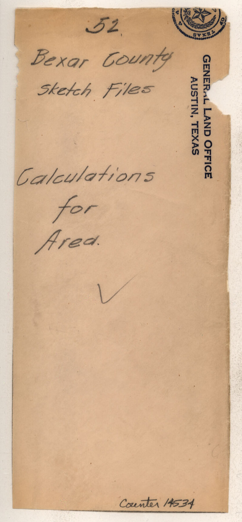
Bexar County Sketch File 52
[Calculations for area of Bexar County]
-
Map/Doc
14534
-
Collection
General Map Collection
-
Object Dates
1935/1/2 (Creation Date)
-
People and Organizations
J.O. Barrow (Draftsman)
-
Counties
Bexar
-
Subjects
Surveying Sketch File
-
Height x Width
13.5 x 16.8 inches
34.3 x 42.7 cm
-
Medium
paper, manuscript
Part of: General Map Collection
[Sketch for Mineral Application 16700 - Pecos River Bed]
![2806, [Sketch for Mineral Application 16700 - Pecos River Bed], General Map Collection](https://historictexasmaps.com/wmedia_w700/maps/2806.tif.jpg)
Print $20.00
- Digital $50.00
[Sketch for Mineral Application 16700 - Pecos River Bed]
1927
Size 20.3 x 29.1 inches
Map/Doc 2806
Liberty County Working Sketch 26

Print $20.00
- Digital $50.00
Liberty County Working Sketch 26
1941
Size 29.8 x 26.4 inches
Map/Doc 70485
Flight Mission No. BRA-6M, Frame 89, Jefferson County

Print $20.00
- Digital $50.00
Flight Mission No. BRA-6M, Frame 89, Jefferson County
1953
Size 18.6 x 22.4 inches
Map/Doc 85432
Cherokee County Working Sketch 14

Print $40.00
- Digital $50.00
Cherokee County Working Sketch 14
1957
Size 44.9 x 61.1 inches
Map/Doc 67969
Archer County Working Sketch 16

Print $20.00
- Digital $50.00
Archer County Working Sketch 16
1939
Size 10.9 x 17.8 inches
Map/Doc 67157
Rockwall County Sketch File 3

Print $6.00
Rockwall County Sketch File 3
1851
Size 17.2 x 11.6 inches
Map/Doc 35417
Map of The Surveyed Part of Peters Colony Texas

Print $40.00
- Digital $50.00
Map of The Surveyed Part of Peters Colony Texas
1852
Size 54.6 x 34.6 inches
Map/Doc 4654
Morris County Rolled Sketch 2A

Print $20.00
- Digital $50.00
Morris County Rolled Sketch 2A
Size 24.0 x 18.8 inches
Map/Doc 10275

Flight Mission No. BQR-4K, Frame 58, Brazoria County

Print $20.00
- Digital $50.00
Flight Mission No. BQR-4K, Frame 58, Brazoria County
1952
Size 18.7 x 22.4 inches
Map/Doc 83991
Liberty County Working Sketch 33

Print $20.00
- Digital $50.00
Liberty County Working Sketch 33
1954
Size 30.6 x 36.7 inches
Map/Doc 70492
Trinity River, Balltown Sheet/Pilot Grove Creek

Print $20.00
- Digital $50.00
Trinity River, Balltown Sheet/Pilot Grove Creek
1916
Size 36.9 x 27.5 inches
Map/Doc 65195
You may also like
Knox County Working Sketch 9

Print $20.00
- Digital $50.00
Knox County Working Sketch 9
1945
Size 33.8 x 43.3 inches
Map/Doc 70251
Motley County Sketch File B (S)

Print $40.00
- Digital $50.00
Motley County Sketch File B (S)
Size 14.2 x 12.4 inches
Map/Doc 32157
Stieler Map of 1879

Print $4.00
- Digital $50.00
Stieler Map of 1879
1879
Size 28.8 x 23.0 inches
Map/Doc 76056
General Highway Map, Hudspeth County, Texas

Print $20.00
General Highway Map, Hudspeth County, Texas
1961
Size 25.1 x 18.2 inches
Map/Doc 79527
Wise County Working Sketch 10

Print $20.00
- Digital $50.00
Wise County Working Sketch 10
Size 17.4 x 18.4 inches
Map/Doc 72624
El Paso County Sketch File 25

Print $20.00
- Digital $50.00
El Paso County Sketch File 25
Size 18.5 x 22.3 inches
Map/Doc 11456
Gaines County Boundary File 3

Print $5.00
- Digital $50.00
Gaines County Boundary File 3
Size 13.9 x 9.1 inches
Map/Doc 53654
Flight Mission No. CLL-1N, Frame 87, Willacy County

Print $20.00
- Digital $50.00
Flight Mission No. CLL-1N, Frame 87, Willacy County
1954
Size 18.3 x 22.0 inches
Map/Doc 87033
Trinity County

Print $20.00
- Digital $50.00
Trinity County
1857
Size 19.2 x 30.8 inches
Map/Doc 4094
Webb County Working Sketch 30

Print $20.00
- Digital $50.00
Webb County Working Sketch 30
1934
Size 15.0 x 40.6 inches
Map/Doc 72395
General Highway Map, Robertson County, Texas

Print $20.00
General Highway Map, Robertson County, Texas
1961
Size 18.1 x 24.4 inches
Map/Doc 79641
Boundary between Republic of Texas and US from Logan's Ferry to Red River - surveyed in 1841

Print $20.00
- Digital $50.00
Boundary between Republic of Texas and US from Logan's Ferry to Red River - surveyed in 1841
1841
Size 19.4 x 27.4 inches
Map/Doc 65415