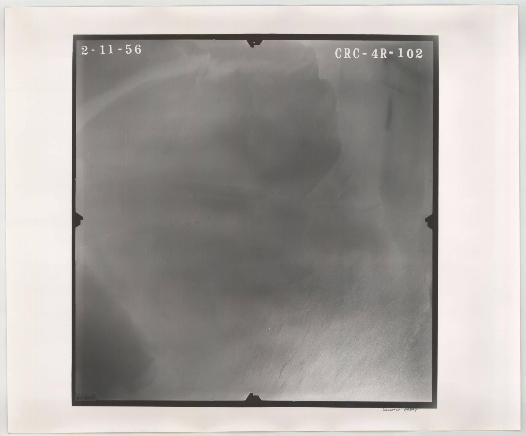
Flight Mission No. CRC-4R, Frame 102, Chambers County
CRC-4R-102
-
Map/Doc
84899
-
Collection
General Map Collection
-
Object Dates
1956/2/11 (Creation Date)
-
People and Organizations
U. S. Department of Agriculture (Publisher)
-
Counties
Chambers
-
Subjects
Aerial Photograph
-
Height x Width
18.5 x 22.4 inches
47.0 x 56.9 cm
-
Comments
Flown by Jack Ammann Photogrammetric Engineers, Inc. of San Antonio, Texas.
Part of: General Map Collection
Bexar County Rolled Sketch 16

Print $20.00
- Digital $50.00
Bexar County Rolled Sketch 16
1847
Size 21.1 x 14.8 inches
Map/Doc 5141
Nautical Chart 152-SC - Galveston Bay, Texas

Print $20.00
- Digital $50.00
Nautical Chart 152-SC - Galveston Bay, Texas
1972
Size 15.4 x 18.5 inches
Map/Doc 75908
Val Verde County Sketch File XXX6

Print $6.00
- Digital $50.00
Val Verde County Sketch File XXX6
Size 17.0 x 9.9 inches
Map/Doc 39102
Flight Mission No. CRC-5R, Frame 44, Chambers County

Print $20.00
- Digital $50.00
Flight Mission No. CRC-5R, Frame 44, Chambers County
1956
Size 18.6 x 22.4 inches
Map/Doc 84963
Reagan County Rolled Sketch 38

Print $20.00
- Digital $50.00
Reagan County Rolled Sketch 38
1964
Size 39.2 x 40.5 inches
Map/Doc 9830
Howard County Rolled Sketch 5

Print $20.00
- Digital $50.00
Howard County Rolled Sketch 5
Size 19.6 x 16.5 inches
Map/Doc 6234
Map of Caldwell County

Print $20.00
- Digital $50.00
Map of Caldwell County
1871
Size 16.9 x 19.8 inches
Map/Doc 4590
Flight Mission No. DQN-2K, Frame 70, Calhoun County

Print $20.00
- Digital $50.00
Flight Mission No. DQN-2K, Frame 70, Calhoun County
1953
Size 18.7 x 22.3 inches
Map/Doc 84262
Nueces County Rolled Sketch 74

Print $32.00
Nueces County Rolled Sketch 74
1981
Size 18.4 x 25.3 inches
Map/Doc 6932
Haskell County Working Sketch 15

Print $40.00
- Digital $50.00
Haskell County Working Sketch 15
1983
Size 48.0 x 57.5 inches
Map/Doc 66073
Eastland County Working Sketch 29

Print $20.00
- Digital $50.00
Eastland County Working Sketch 29
1952
Size 21.1 x 22.3 inches
Map/Doc 68810
Hays County Working Sketch 5

Print $20.00
- Digital $50.00
Hays County Working Sketch 5
1929
Size 28.2 x 29.6 inches
Map/Doc 66079
You may also like
Parker County Rolled Sketch 7

Print $20.00
- Digital $50.00
Parker County Rolled Sketch 7
Size 24.5 x 19.1 inches
Map/Doc 89050
Irion County Sketch File 10

Print $20.00
- Digital $50.00
Irion County Sketch File 10
1936
Size 16.7 x 30.5 inches
Map/Doc 11825
J. B. McCauley Farm Section 17, Block AK

Print $20.00
- Digital $50.00
J. B. McCauley Farm Section 17, Block AK
Size 22.9 x 27.3 inches
Map/Doc 92297
San Patricio County Rolled Sketch 53

Print $20.00
- Digital $50.00
San Patricio County Rolled Sketch 53
1996
Size 19.1 x 25.3 inches
Map/Doc 7738
Zavala County Rolled Sketch 21

Print $20.00
- Digital $50.00
Zavala County Rolled Sketch 21
Size 27.6 x 38.4 inches
Map/Doc 8324
Ward County Working Sketch 1

Print $20.00
- Digital $50.00
Ward County Working Sketch 1
1937
Size 24.7 x 24.5 inches
Map/Doc 72307
Trinity County Working Sketch 18

Print $20.00
- Digital $50.00
Trinity County Working Sketch 18
1982
Size 13.4 x 11.1 inches
Map/Doc 69467
Wheeler County Working Sketch 12

Print $40.00
- Digital $50.00
Wheeler County Working Sketch 12
1978
Size 38.5 x 51.1 inches
Map/Doc 72501
Kerr County Rolled Sketch 8 and 9

Print $40.00
- Digital $50.00
Kerr County Rolled Sketch 8 and 9
Size 56.3 x 37.9 inches
Map/Doc 8346
Flight Mission No. DCL-7C, Frame 43, Kenedy County

Print $20.00
- Digital $50.00
Flight Mission No. DCL-7C, Frame 43, Kenedy County
1943
Size 15.5 x 15.5 inches
Map/Doc 86031
General Highway Map. Detail of Cities and Towns in Dallas County, Texas [Dallas and vicinity]
![79067, General Highway Map. Detail of Cities and Towns in Dallas County, Texas [Dallas and vicinity], Texas State Library and Archives](https://historictexasmaps.com/wmedia_w700/maps/79067.tif.jpg)
Print $20.00
General Highway Map. Detail of Cities and Towns in Dallas County, Texas [Dallas and vicinity]
1936
Size 18.3 x 25.1 inches
Map/Doc 79067
[Worksheets related to the Wilson Strickland survey and vicinity]
![91268, [Vicinity and related to the Wilson Strickland Survey], Twichell Survey Records](https://historictexasmaps.com/wmedia_w700/maps/91268-1.tif.jpg)
Print $20.00
- Digital $50.00
[Worksheets related to the Wilson Strickland survey and vicinity]
Size 21.1 x 18.9 inches
Map/Doc 91268